
CORVID-19 Hill-walking is great exercise and it is good to get out in the outside world and it is inherently safer and healthier than staying indoors. But we still lneed to take precautions whilst outside. Please do not go out walking if you are showing sisns of Corvid-19. When out walking make sure you give people space - 1m at least and preferable 2m. Remember that if it feels too crowded then walk away and try somewhere else. If you get into difficulty the MRT will come out to help you but they should not have to put themselves into danger from this virus. Take Care Out There.
Around Featherbed Moss.
| OS Map : | 110 |
| Start : | Fairholms Car Park. |
| SK173894 | |
| 210 | |
| Fairholms is the large, and busy, car park at the end of Ladybower Reservoir. It lies under Derwent Dam and hence popular. On a busy day get there early. Alternative parking can be found down the road but this adds to the walking. Parking is not free at Fairholms nor at some of the smaller parking spaces up the road. | |
| Summary : | Fairholms - Derwent Reservoir - Nether Hey - High Stones - Featharbed Moss - Back Tor - Lost Lad - Derwent Reservoir - fairholms |
| distance : | 15.0km. |
| ascent : | 390m. |
| time : | 5hr. 10min. |
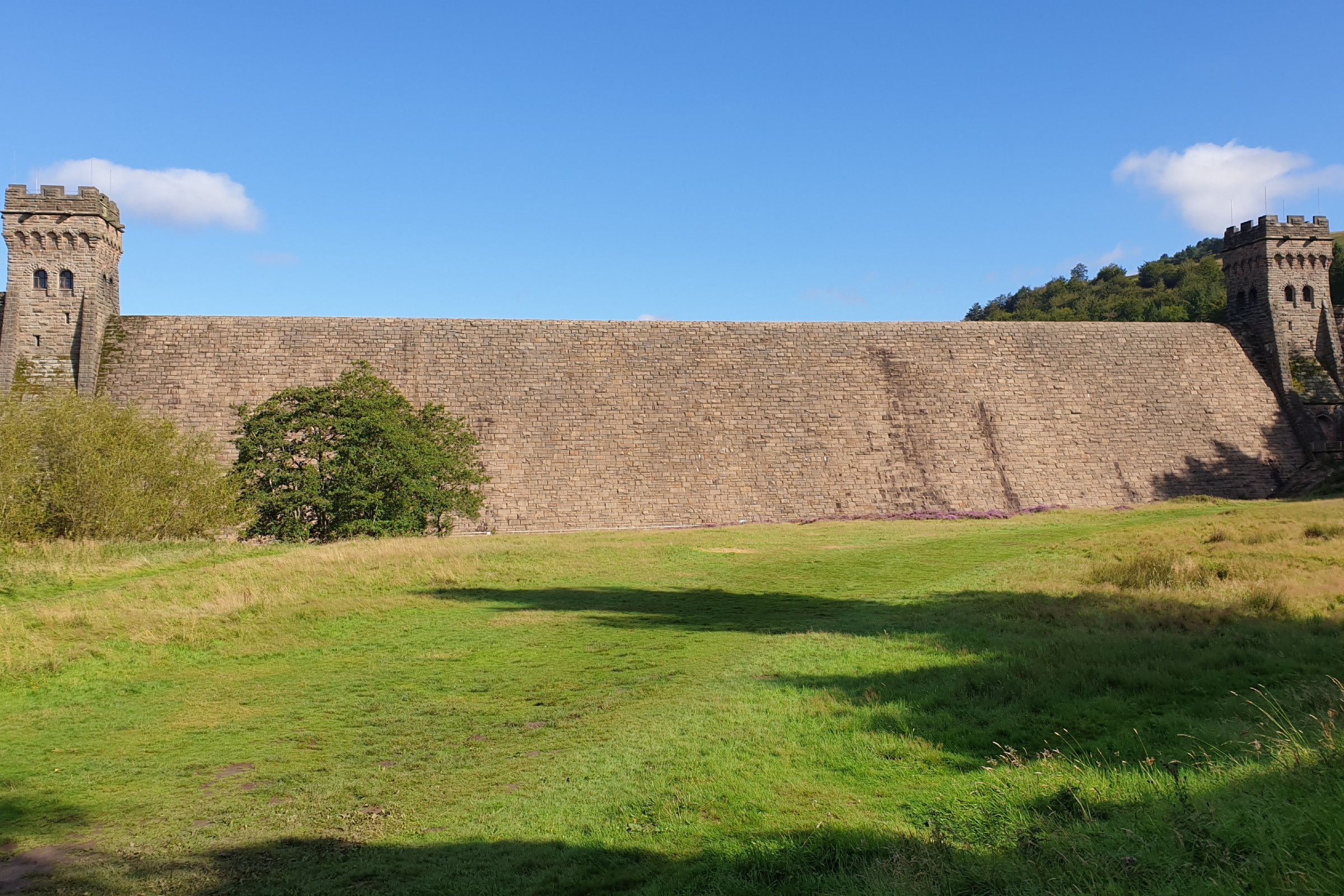
Derwent Dam
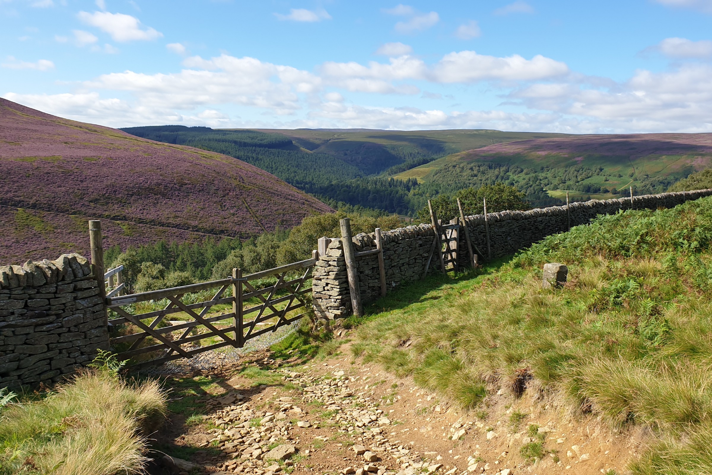
Path up to High Stones
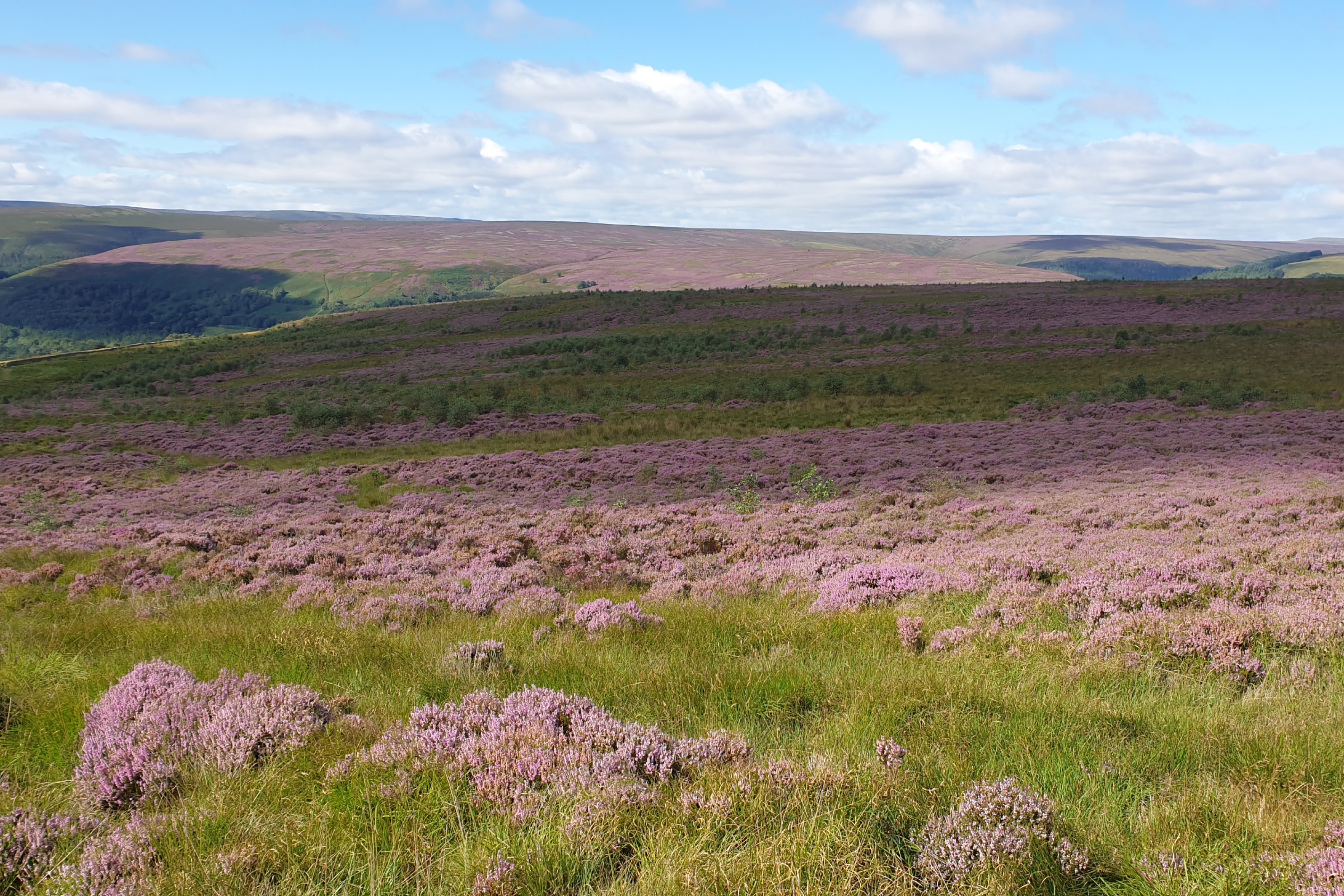
Magnificent Heather Moors

view up the Derwent Valley
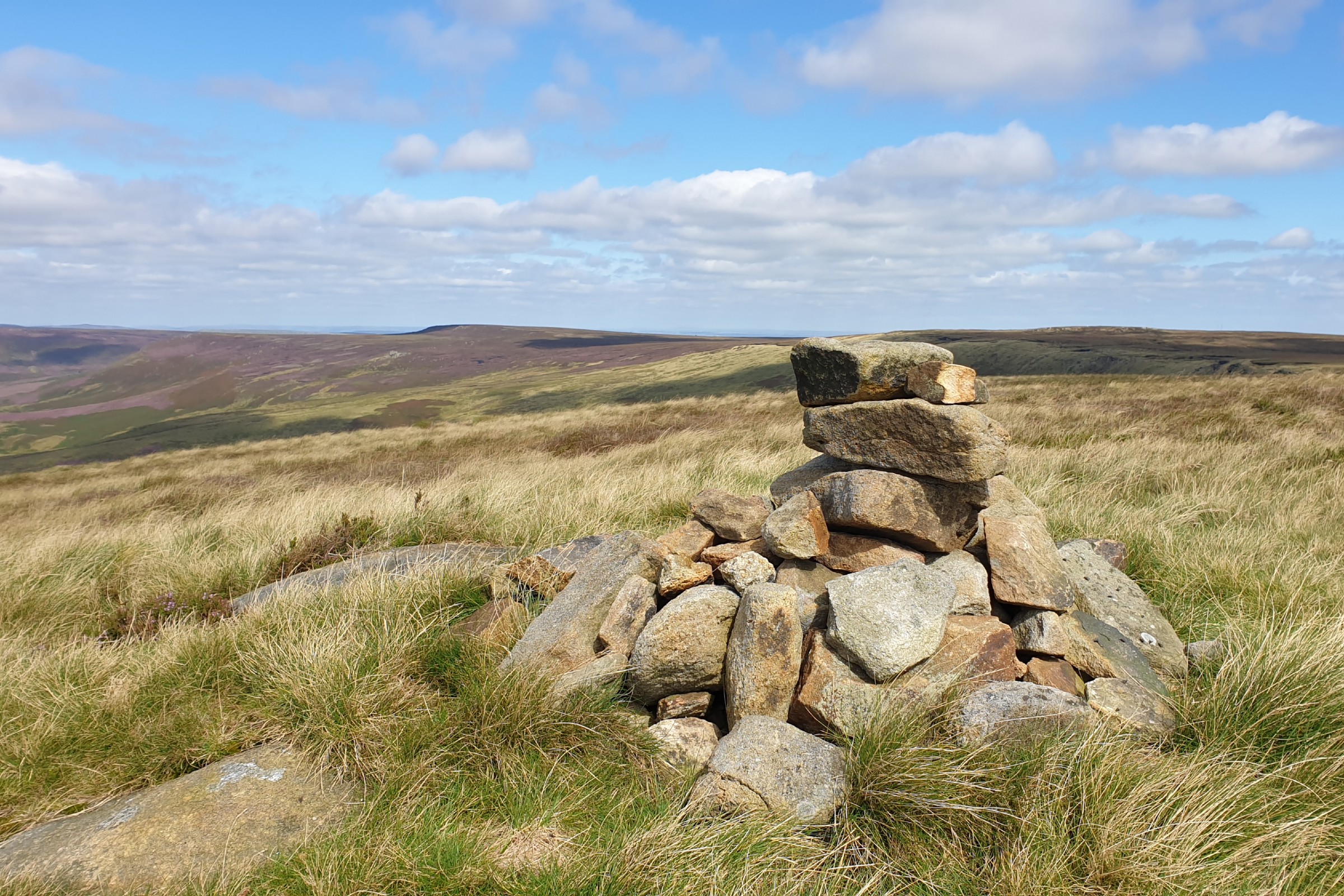
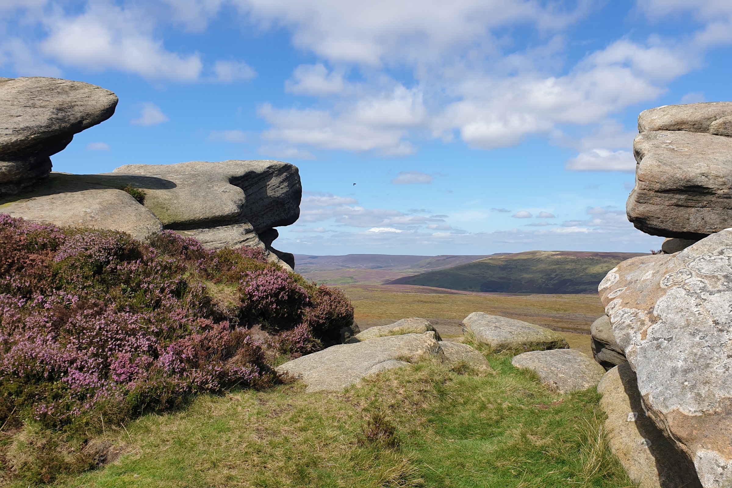
High Stones
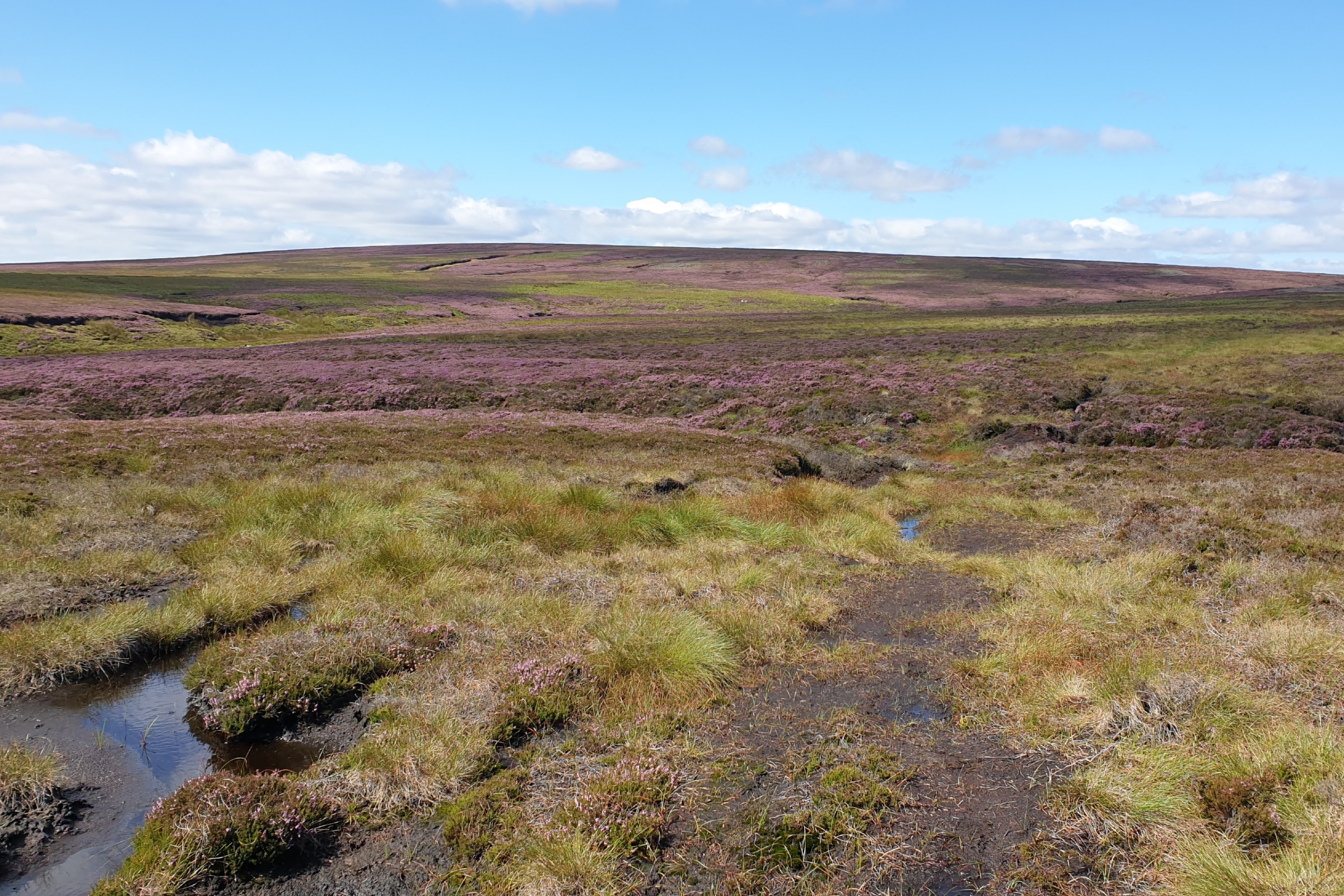
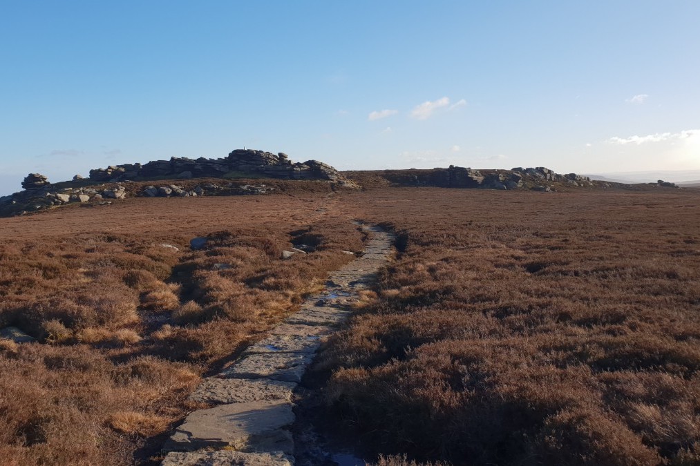
Featherbed Moss
From Back Tor
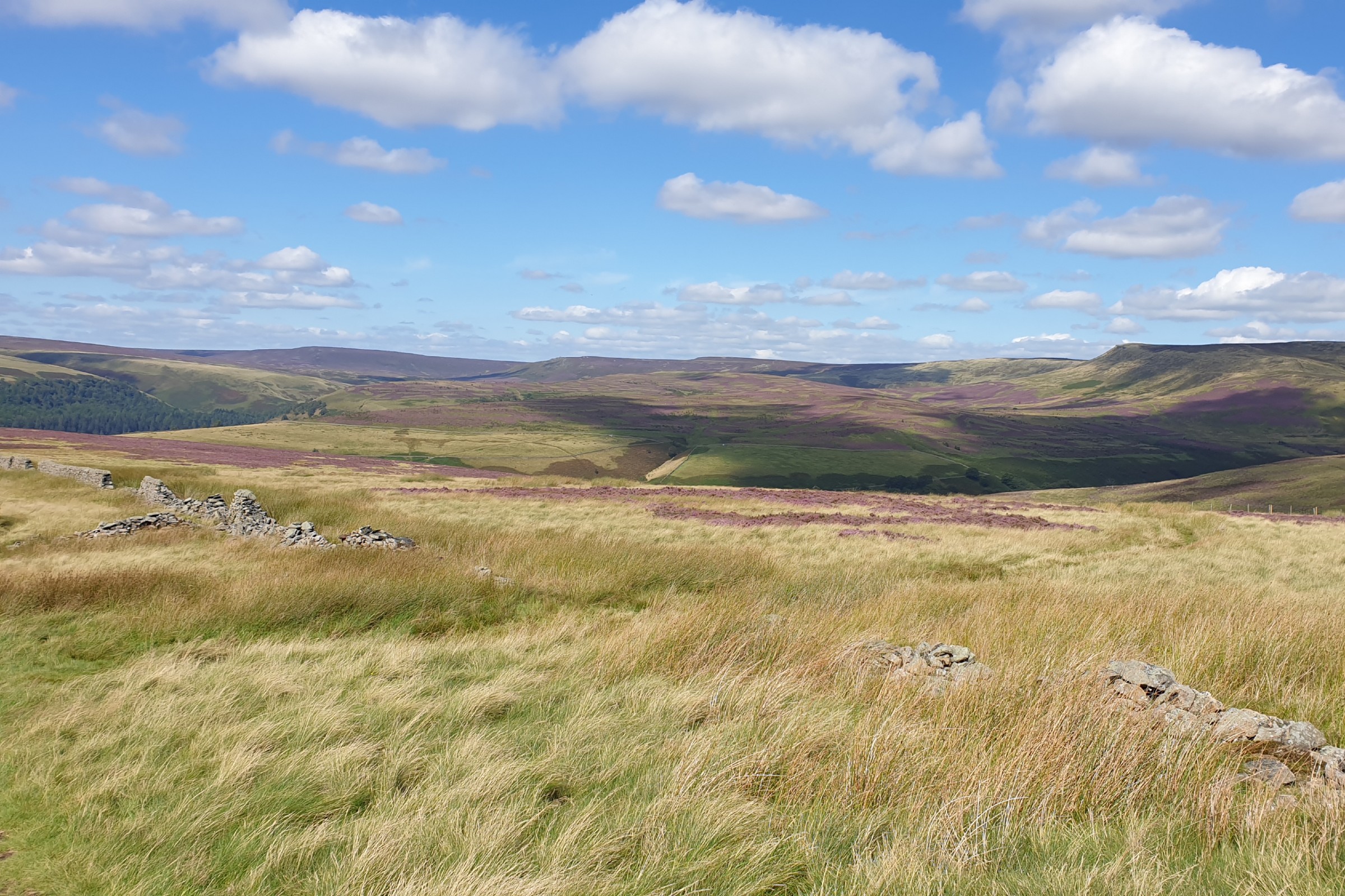
Up the Derwent Valley
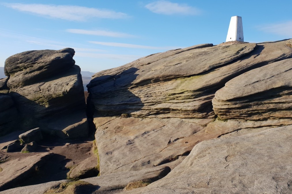
Back Tor
Looking back to Back Tor
Edale
Current Weather
Last Updated today at : 20:58:10
| Overall : | scattered clouds |
| Temperature : | 22degC. |
| Wind Speed : | 16km/hr. |
| Wind Direction : | SW |
| Clouds : | scattered clouds |
| Precipitation : | none |
| Sunrise : | 03:40:52 |
| Sunset : | 20:39:30 |
| : | Times are GMT add 1 hour for BST |
Data from openweathermap.org
Featherbed Moss, as the name implies should be a wet and boggy area to be avoided. But, due to environmental work done on Bleaklow it is not. Yes after a wet few days it is wet underfoot but not a no go area. This route links the northern and souther sections of the eastern edges of Bleaklow. High Dtones is at the southern edge of the area that includes Outer Edge and Margery Hill. Good views in this direction. Back Tor is at the top of the sothern part that leads from the A57 past many interesting rock formations. The area in between is Featherbed Moss. A massive moorland where the walker will be alone walking over the moors around featherbed Moss. Note that this route follows a path that is shown on the online OS maps, and indeed is a real path, but the printed maps do not show this path that is key to this route. If you wish to get away from it all here is the place to be especially on a sunny day.
From Fairholms walk out from the car park towards the dam. Walking under the dam the walker cannot fail to be impressed by the size. At the far eastern side there is a set of steps that thkes the walker to water level. Follow the track north along the eastern side of the Derwent reservoir to Abbey Clough. 100m further on is a path that climbs through the woods steeply. After a couple of gates the path gets out of the forest and can be followed around Nether Tor. Thhen the p[ath descends slightly to the east before the final climb up the to High Stones. High Stones is marked with a small cairn, not impressive for the high point of Sheffield and South Yorkshire. However as it is the high point there are some good views to all directions. (5.5kms. 320m. 2hrs. 20min.)
From the summit retrace your tracks until a path is reached that goes over to featherbed Moss. Despite there being no path on the map there is a definite track around Featherbed Moss and onto the grouse butts. Follow the path down and when Cartledge Brook is reached, follow that south east to meet the larger path, Dukes Path. The only difficult section is where the walker meets Cartledge Brook. Keep to the west side of the brook until there is an obvious place to cross. The views on the moor are extensive. Over much of South Yorkshire, down towards Chatsworth and over to Kinder. The route now goes south down Carteledge Stones Ridge to Back Tor. Much of this path is made up of solid limestone flag stones making walking easy. Back Tor is a distinctive top with the white trip point on top of the rocks. Great views again here. (6.0kms. 60m. 2hrs. 0min.)
Follow the path down to Lost Lad and continue along the footpath around green Stiches and over to the wall. Cross the wall and follow the distinctive footpath initially north west then arond to the south west, descending all the time. Finally reach the east side of Derwent Reservoir. Retrace your steps back to Fairholms down the track and then paths under the dam wall. (3.5kms. 10m. 1hrs. 10min.)
24th August 2020 A fantastic sunny day, following a few wet and windy days. Still away from the busy spots arounf Fairholms and Back Tor there moors were empty. Also surprising How easy the walking was over Featherbed Moss given the recent wet weather.
 My Blog
© gritstoneedge.co.uk all rights reserved 2015-2026