
CORVID-19 Hill-walking is great exercise and it is good to get out in the outside world and it is inherently safer and healthier than staying indoors. But we still lneed to take precautions whilst outside. Please do not go out walking if you are showing sisns of Corvid-19. When out walking make sure you give people space - 1m at least and preferable 2m. Remember that if it feels too crowded then walk away and try somewhere else. If you get into difficulty the MRT will come out to help you but they should not have to put themselves into danger from this virus. Take Care Out There.
Black Hill
| OS Map : | 110 |
| Start : | Crowden Car Park |
| SK072994 | |
| 207 | |
| There is a good sized car park just of the A628 at Crowden. | |
| Summary : | Crowden - Pennine Way - Oaken Clough - Crowden Great Brook - Soldiers Lump - Tooleyshaw Moss - Westend Moss - Hey Moss - Crowden |
| distance : | 13.0km. |
| ascent : | 440m. |
| time : | 4hr. 40min. |
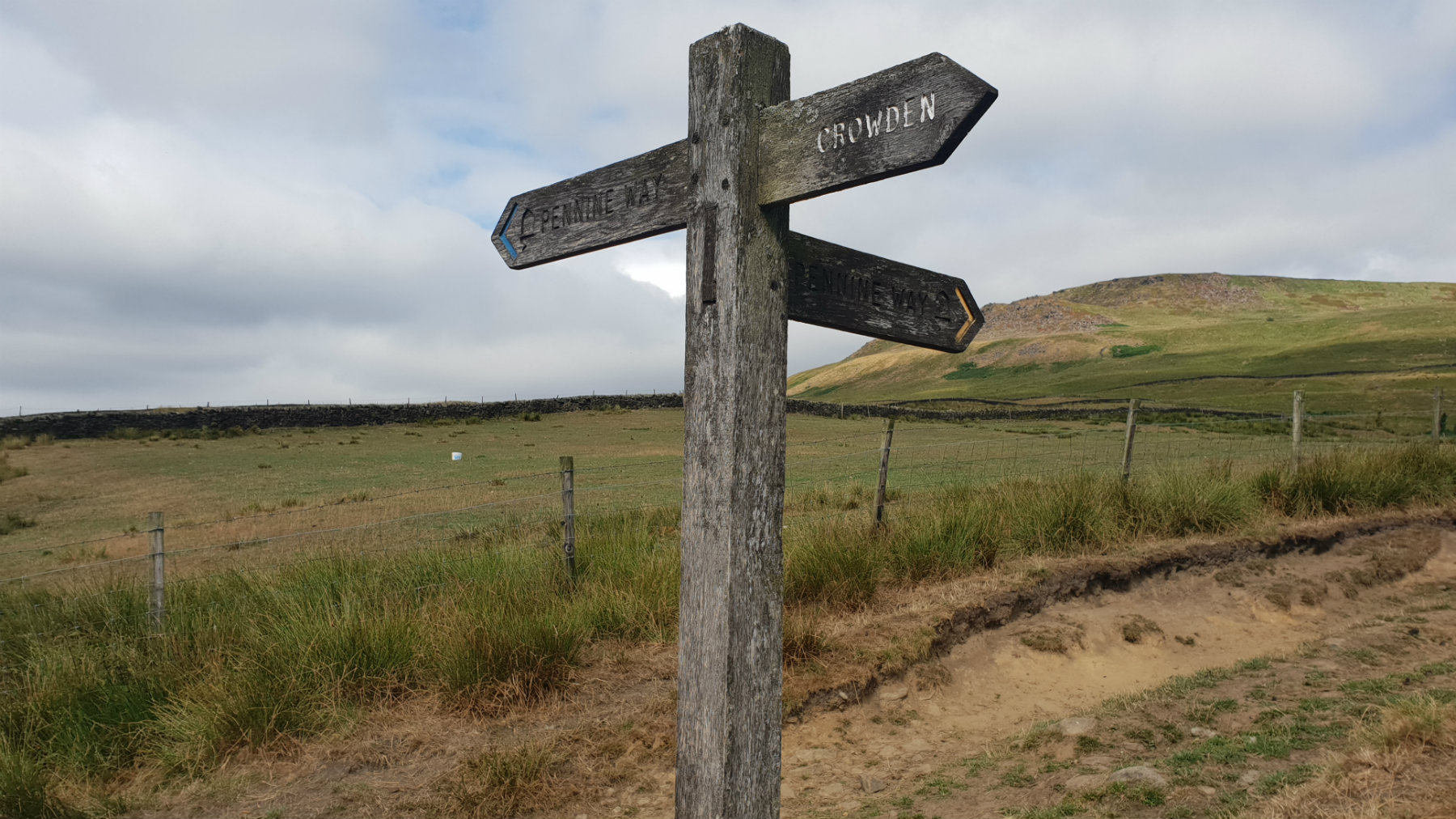
This way to Black Hill.

Way up the valley.

Looking dow to Laddow Racks.
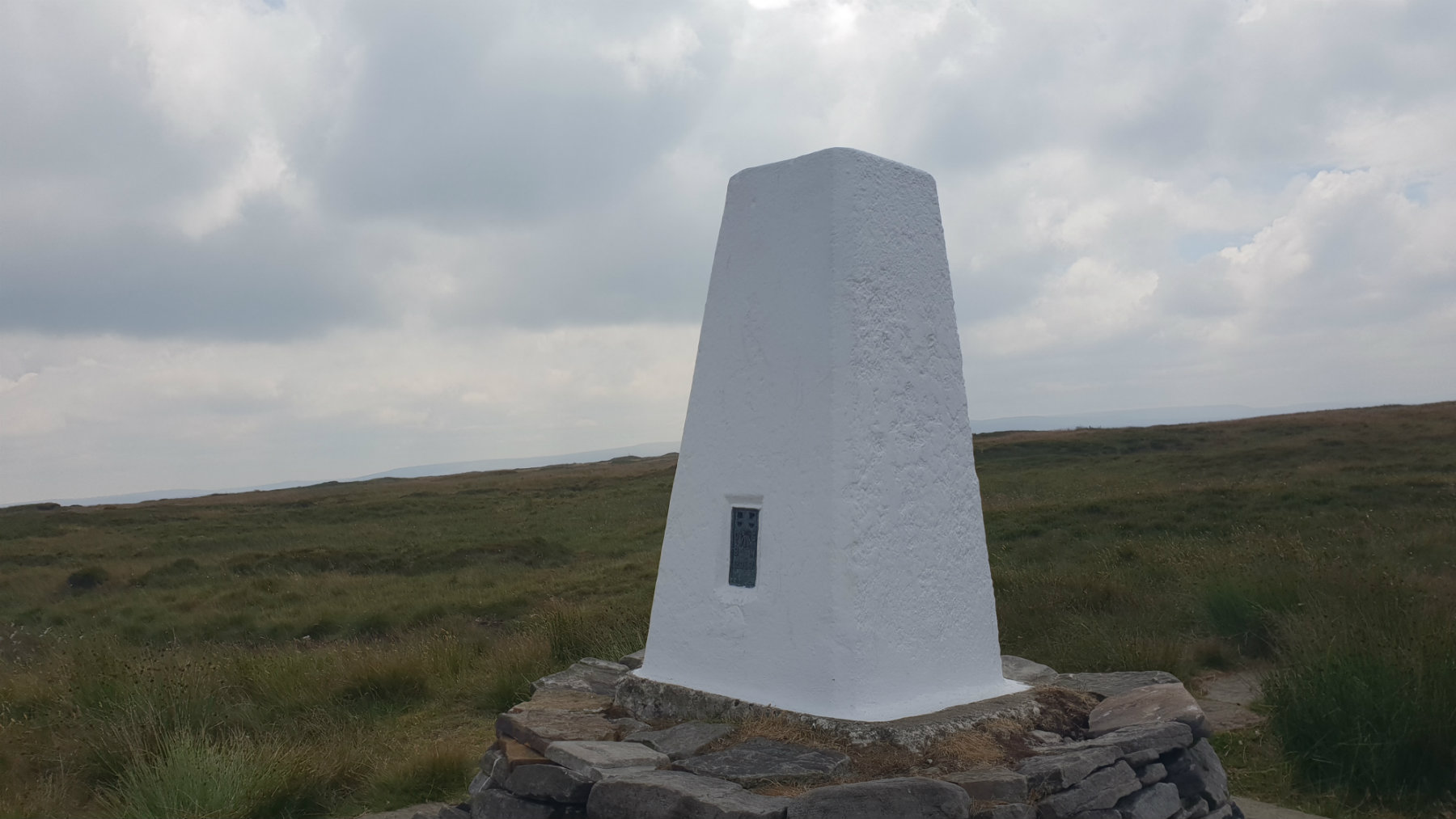
Soldiers Lump (The top).
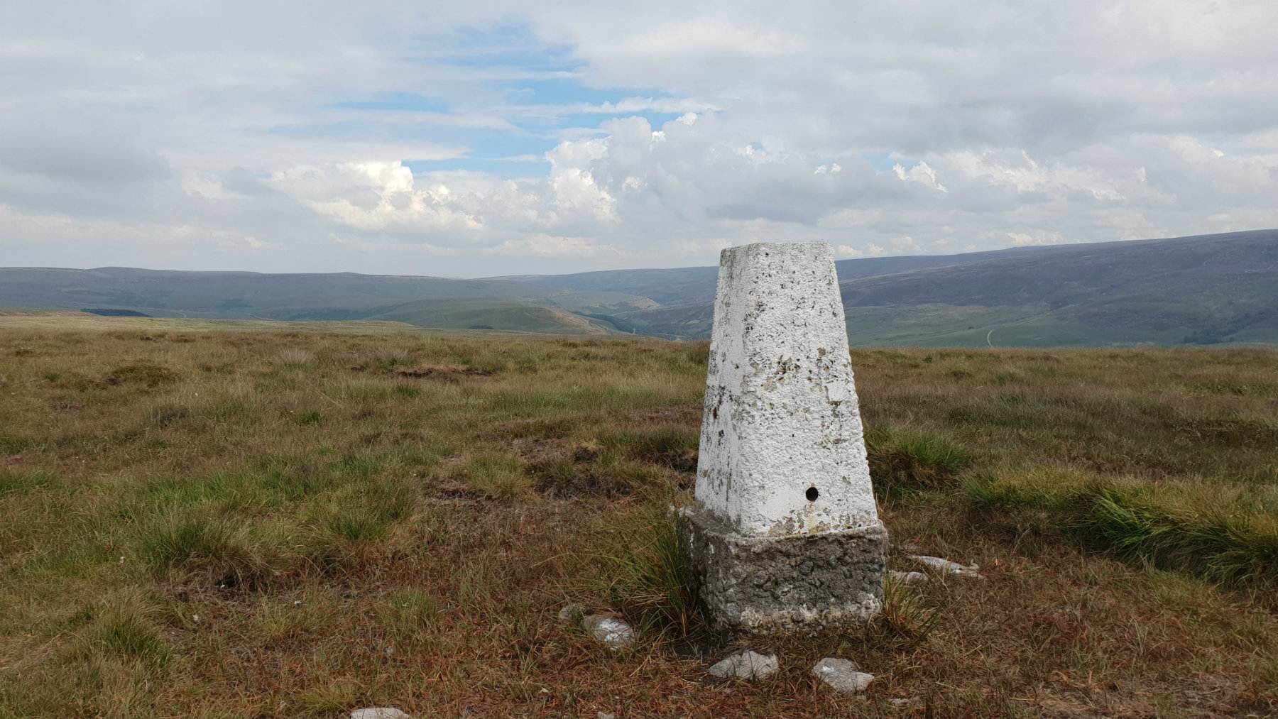
Hey Moss Trig.
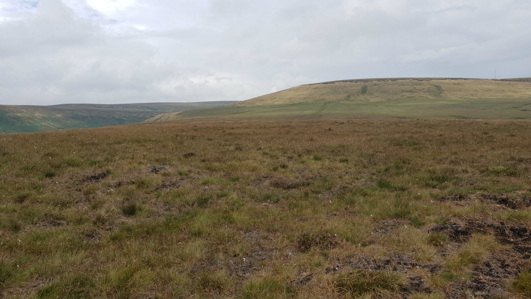
Looking back towards Black Hill.
Edale
Current Weather
Last Updated today at : 20:59:52
| Overall : | scattered clouds |
| Temperature : | 22degC. |
| Wind Speed : | 16km/hr. |
| Wind Direction : | SW |
| Clouds : | scattered clouds |
| Precipitation : | none |
| Sunrise : | 03:40:52 |
| Sunset : | 20:39:30 |
| : | Times are GMT add 1 hour for BST |
Data from openweathermap.org
Black Hill has a reputation of a wet boggy hill and indeed in wet weather you can expect this, a typical Peak District Experience. Black Hill is on the Pennine Way and this path is much improved over the year's making this a pleasant walk especially in the summer. Once away from the Pennine Way the return ridge is often empty of people, no crowds just you in the hills. the way up is dominated by Laddow Rocks, a gritstone edge set high up his hill.
Leave the car park and walk up towards the camp site, onthe left, and some significant barns, on the right. Through te gate and follow the rad wich climbs the hills sie to get to a signpost indicating the Pennine Way. This is followed to the summit. The route first conours around the east side of the ridge, through a gate, and onto Oaken Clough. here the path climbs to the top of Laddow roacks and makes it's way along the top of these rocks, perhaps missing the best view of them which is gained lower down. The route continues along at this level and meets Crowden Great Brook. Again the Pennine Way os a good path that is followed to the summit of Black Hill, Soldier's Lump. This trig does not look like the true summit so wander about to make sure you are at the top. (7.0kms. 340m. 2hrs. 50min.)
It is possible to return by the same way but a shorter and more interesting way is to follow the eastern ridge down. From Soldier's Lump the path is indistinctive and a bearing to make sure you are on the correct path is a good idea. Follow this path over the typical Peak District moorland. This can often be wet and the paths not as good as the Pennince Way. Walk ober Tooleyshaw Moor, then onto Westend Moss and to hey Moor. A visit to the pillar is a good idea - this is a trig point despite the description and lack of symbol on maps. Just before the quarry find a way down to the main path to the west and then down to the valley. Descending through the quarry as marked on the OS map is not a good idea. From here the path then road leads to the car park. (6.0kms. 100m. 2hrs. 0min.)
25th July 2018 Summer 2018 has been exceptionally dry and this was a good opportunity to do this walk. The streams were flowing but not full so the many fords marked were just a simple step over. The moor land was bone dry; exceptionally no need for gaiters. The Pennie Way route is quite busy but there was nobody on the return route. Soldiers Lump trig point had been newly apinted, white, and now stands out significantly from the surroundings.
 My Blog
© gritstoneedge.co.uk all rights reserved 2015-2026