
CORVID-19 Hill-walking is great exercise and it is good to get out in the outside world and it is inherently safer and healthier than staying indoors. But we still lneed to take precautions whilst outside. Please do not go out walking if you are showing sisns of Corvid-19. When out walking make sure you give people space - 1m at least and preferable 2m. Remember that if it feels too crowded then walk away and try somewhere else. If you get into difficulty the MRT will come out to help you but they should not have to put themselves into danger from this virus. Take Care Out There.
Kinder - Northern Edges
| OS Map : | 110 |
| Start : | Snake Inn. |
| SK112905 | |
| 321 | |
| The inn is closed now as is their large car park. There are a number of laybys in and around the inn, mainly on east, but they get busy. | |
| Summary : | Snake Inn - Seal Stones - Seal Edge - The Edge - Ashop Head - Snake Path - Snake Inn |
| distance : | 12.5km. |
| ascent : | 450m. |
| time : | 4hr. 30min. |

Bottom of Fair Brook

Path up to the edge
Fairbrook Naze with Bleaklow behind

View back along edge
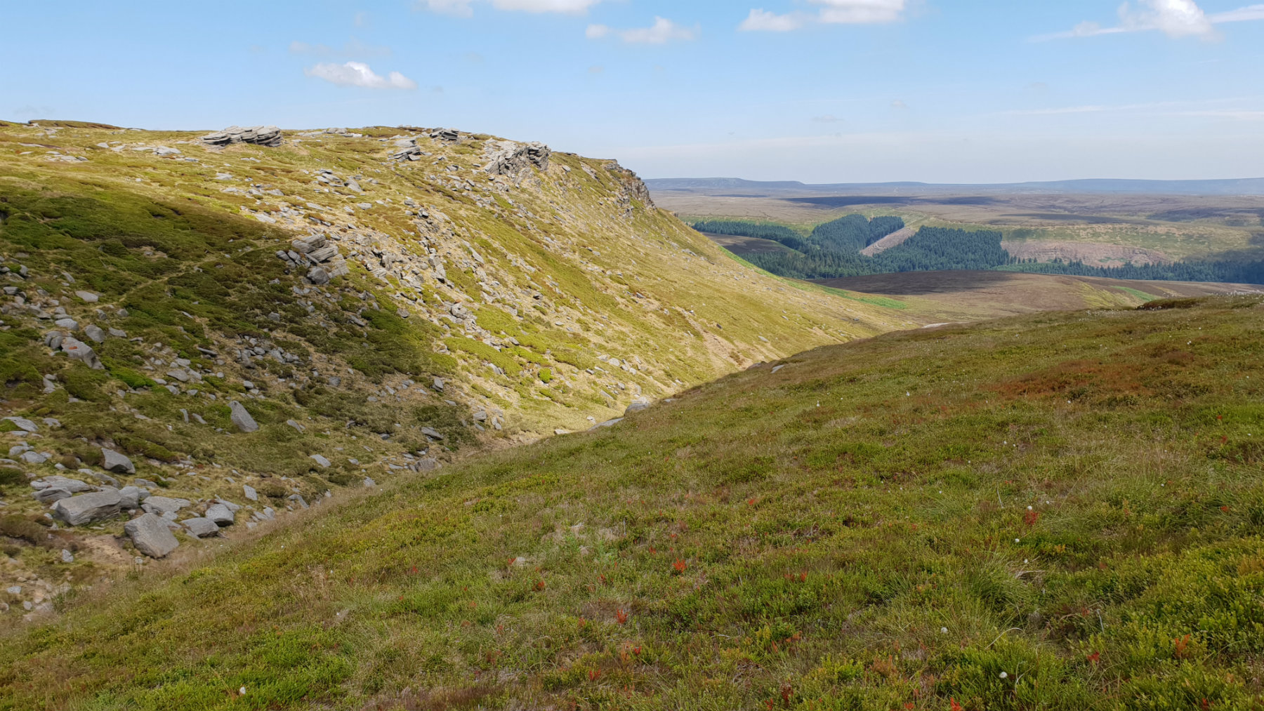
Path along the edge
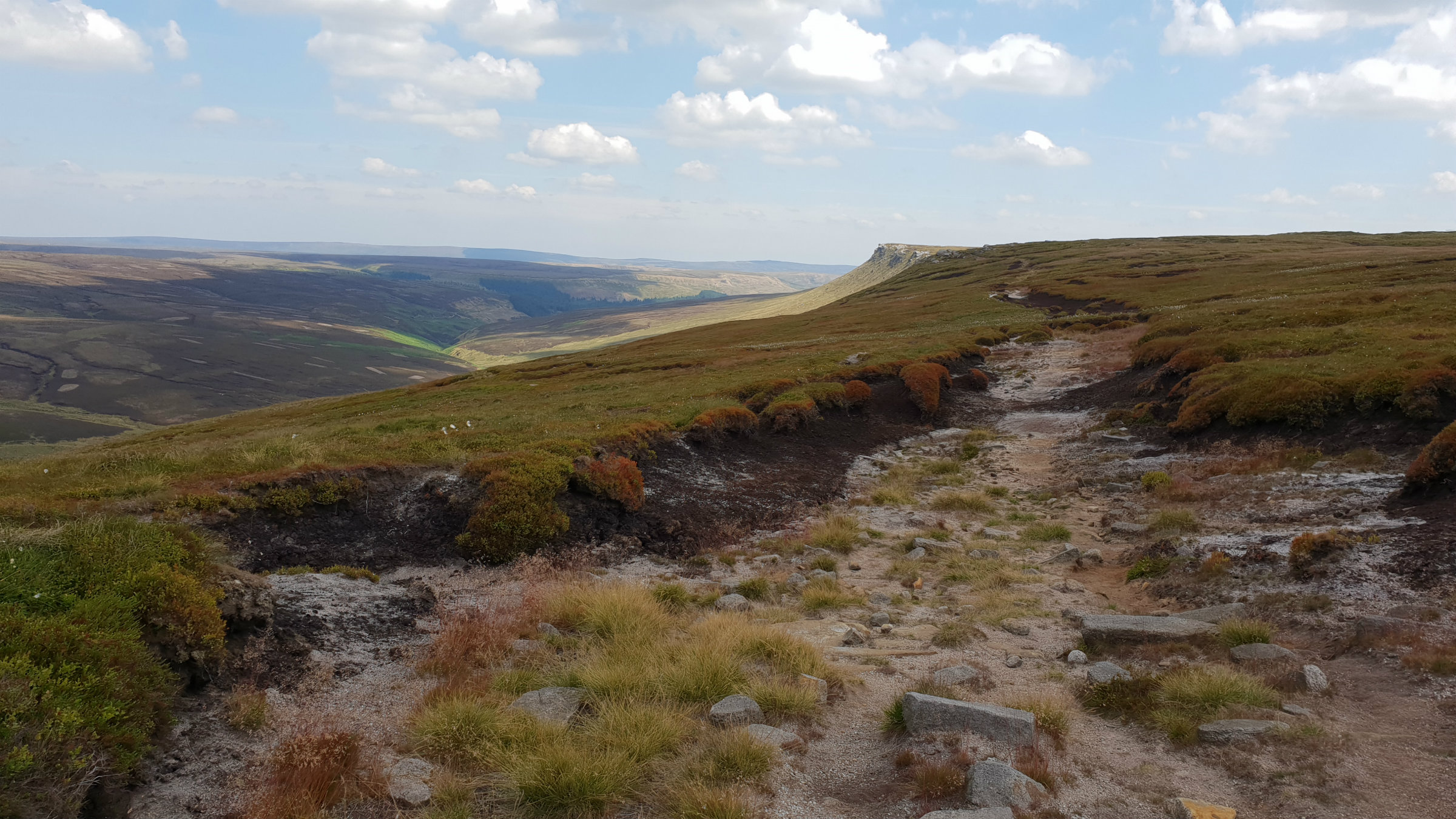
Edge from Snake Path
Edale
Current Weather
Last Updated today at : 20:46:57
| Overall : | scattered clouds |
| Temperature : | 22degC. |
| Wind Speed : | 16km/hr. |
| Wind Direction : | SW |
| Clouds : | scattered clouds |
| Precipitation : | none |
| Sunrise : | 03:40:52 |
| Sunset : | 20:39:30 |
| : | Times are GMT add 1 hour for BST |
Data from openweathermap.org
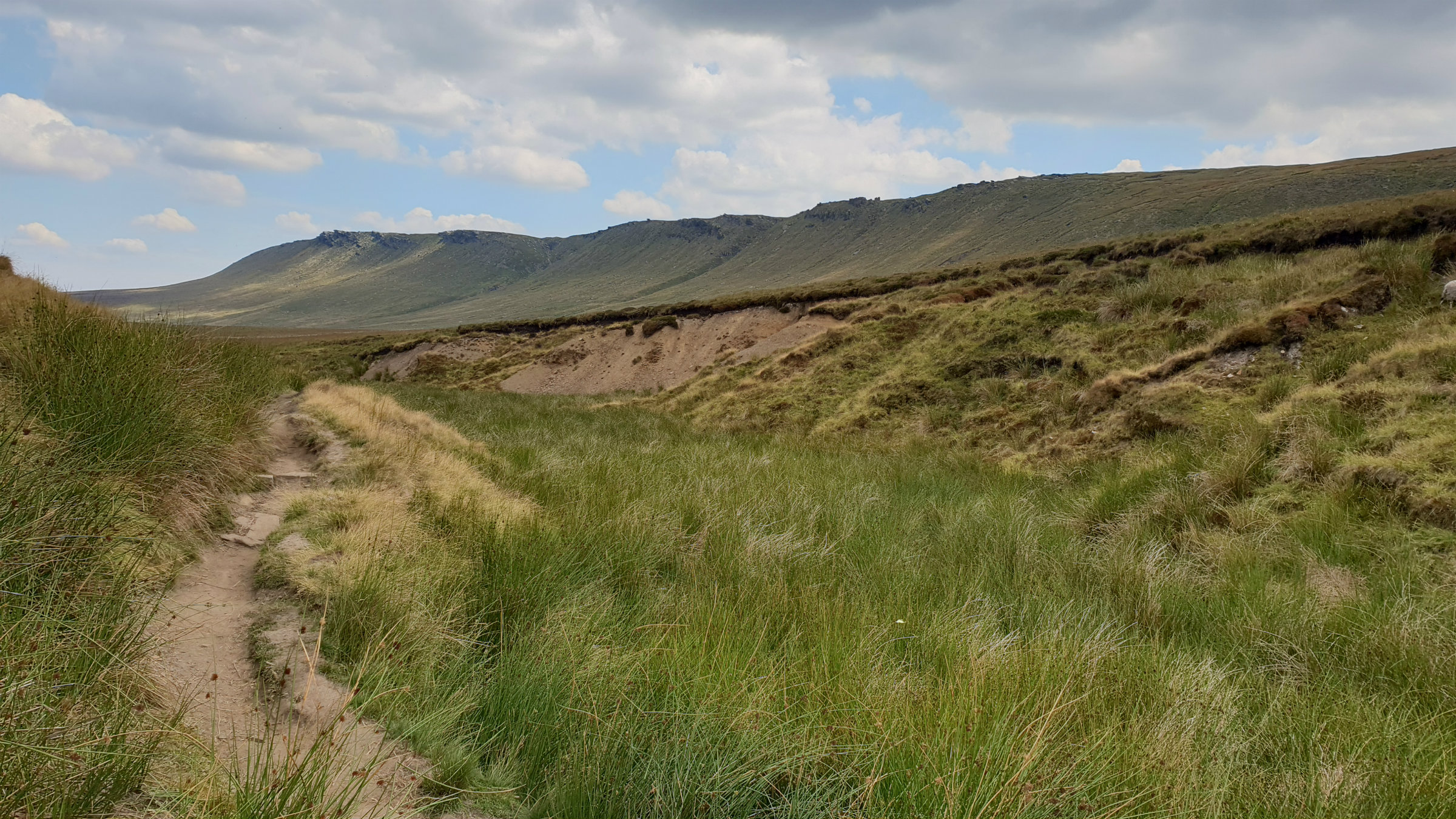
Kinder is a large flat plateau surrounded by steep edges. This walk follows the edges long the north of Kinder. These rock edges that mark the northern limit of Kinder are on the edge of the peat with many rocks making the drop. From here views north towards Bleaklow are extensive on days of good visibility.
Leave the car park cross the road and follow the path through the forest to the bridge over the River Ashop. Cross the river at the bridge and follow the path around to Fair Brook. Cross this on the stepping stones and then through the sheep pens, follow the good path which climbs the hillside steeply to get around to Gate Side clough. There is a path up this clough. From around halfway follow the wall. This path is the major climb of the day and reaches the edge at Seal Stones. There is a well defined path around the edge which is followed all the way around the edge. There can be some wet bits especially around the top of Upper and Middle Seal Clough. Make to the Fords at the top of Fair Brook and then turn northerly to make for the top of Fairbrook Naze. (4.5kms. 400m. 2hrs. 10min.)
There is a more direct path that climbs up Fairbrook Naze to this point which avoids Seal edge if you wish a shorter route. The edge becomes more like an edge from here, with a more distinctive rocky edge. Walk along The Edge for 2k until the edge becomes more indistinct, but the path continues to reach the Pennine Way. At the col before Mill Hill there is a distinct crossing. This route turns right, east, to follow the Snake Path. This is a good path. Look out for the ruined building at around half way. The path enters a forest about 1km from the road. Follow the path through the forest and ascend to the A57. Walk 300m along the roadside, there is a path on the south side, to reach the Snake Inn. (8.0kms. 50m. 2hrs. 30min.)
11th July 2018 I did this walk in mid July 2019, after an incredibly long dry spell so the wetness of the paths were not a concern. Indeed the peat was baked dry and there was a high fire risk in the Peak District. Major environmental improvements are taking place on Kinder and there is a fence around the plateau, with stiles at path crossings, to keep the sheep out. Despite this I saw two stray ewes the wrong side of the fence; report to the authurities
 My Blog
© gritstoneedge.co.uk all rights reserved 2015-2026