Chrome Hill
| Start : | Car Parking in the village of Earl Sterndale [SK089670 329m ] |
| Summary : | Earl Sterndale - Parkhouse Hill - Chrome Hill - Hollingsclough - Earl Sterndale |
| distance : | 9.0km. |
| ascent : | 150m. |
| time : | 3hr. 0min. |
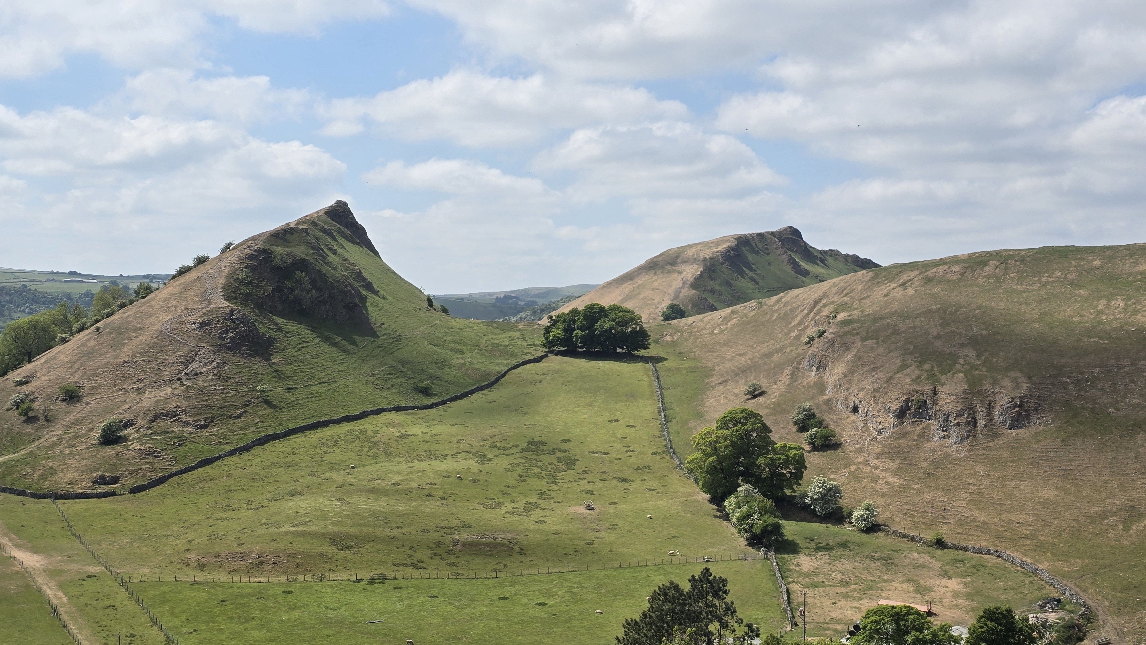
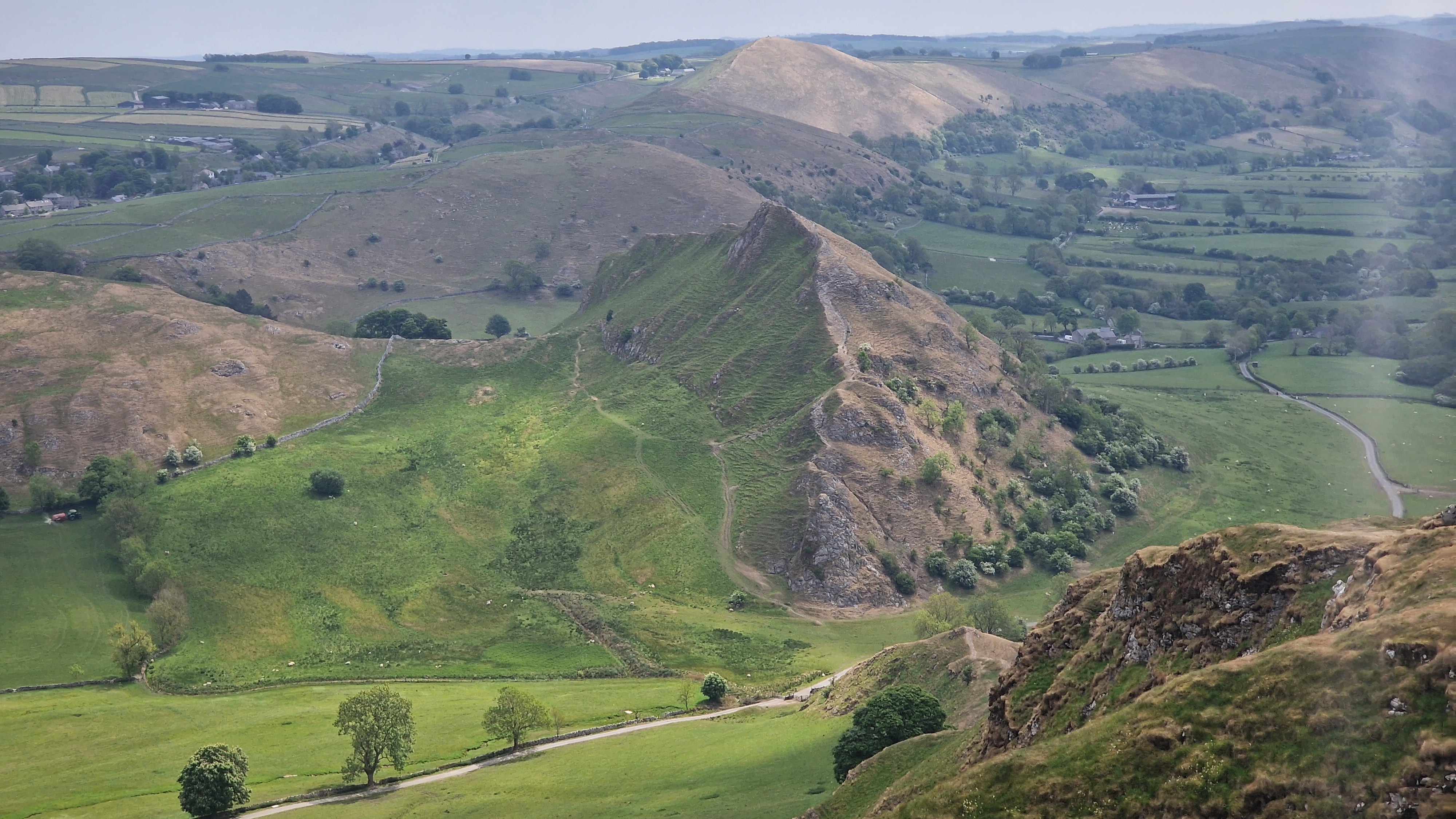
View of Parkhouse Hill & Chrome Hill.
©gritstoneedge.co.uk
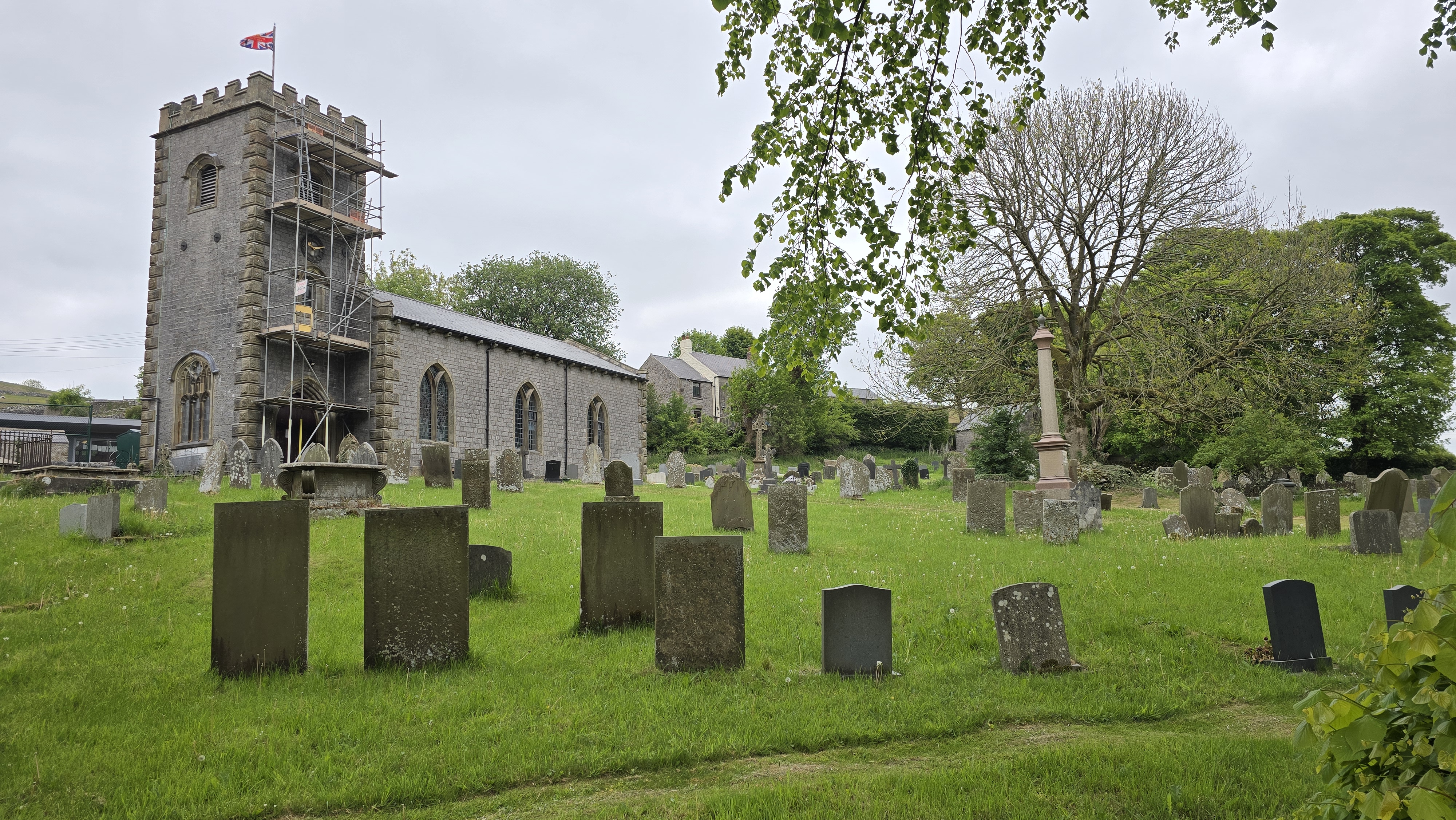
The church at Earl Sternhouse.
©gritstoneedge.co.uk
The north west ridge of Parkhouse Hill.
©gritstoneedge.co.uk
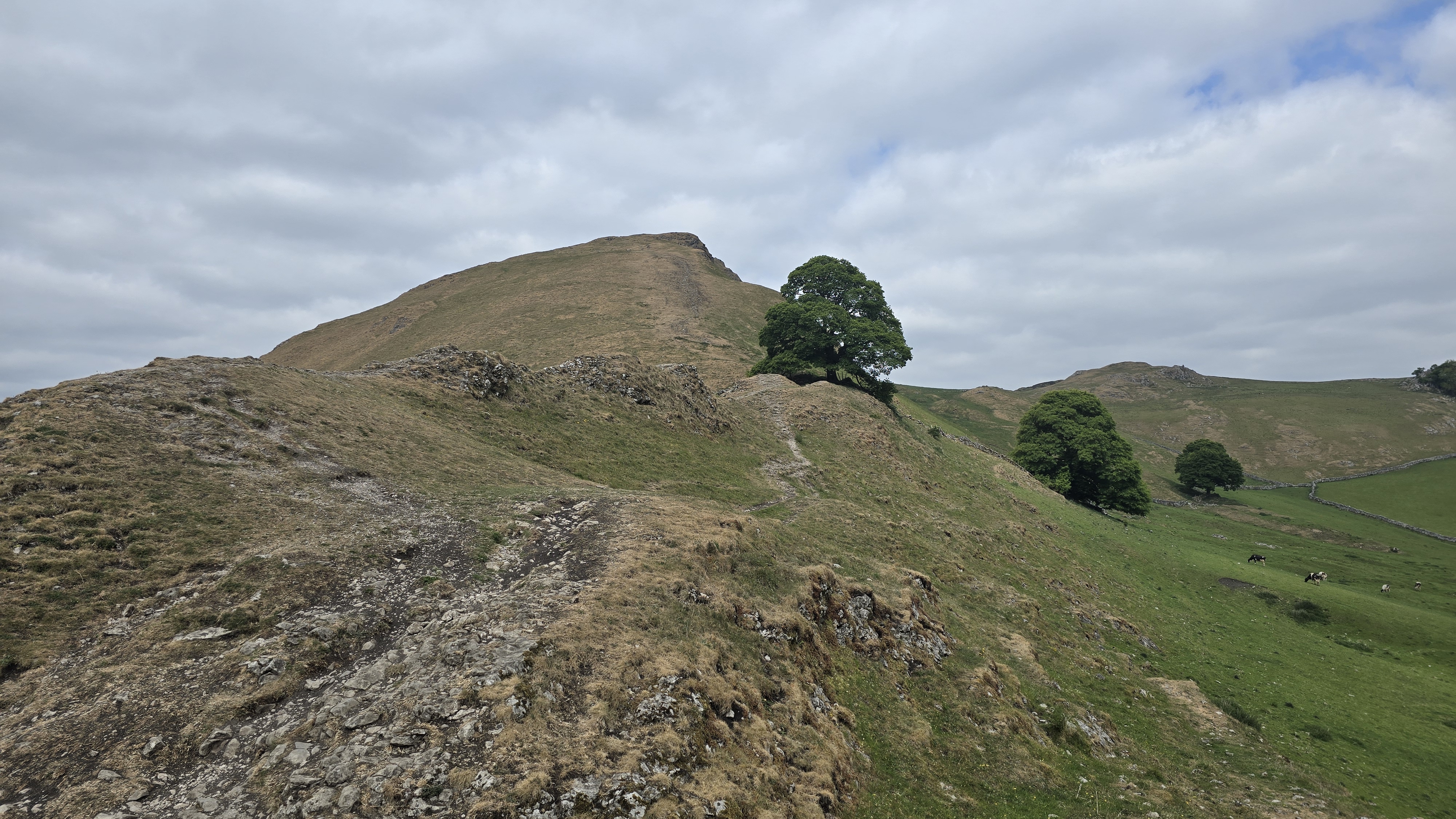
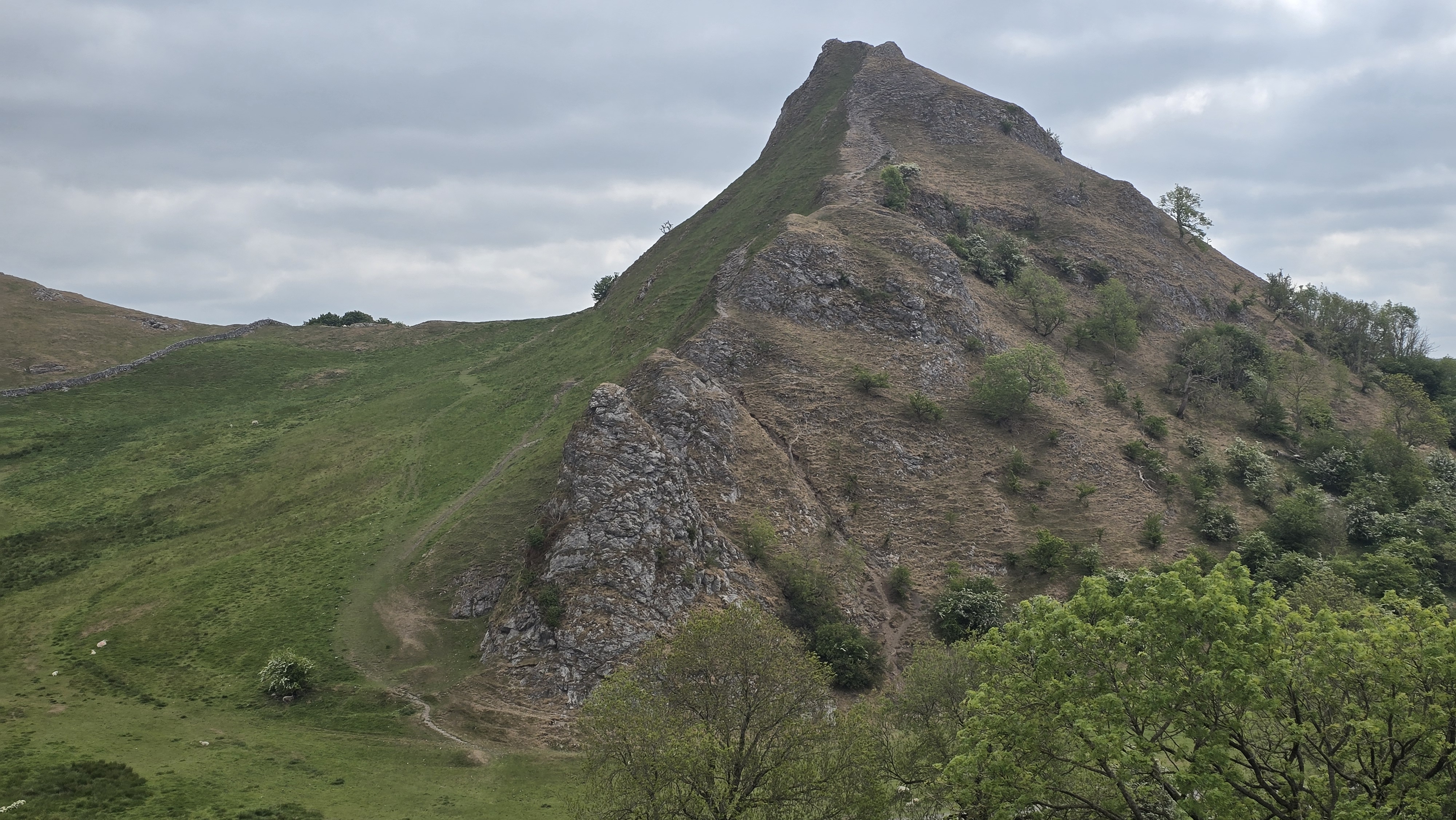
The ascent of Chrome Hill
©gritstoneedge.co.uk
The view south from Chrome Hill.
©gritstoneedge.co.uk
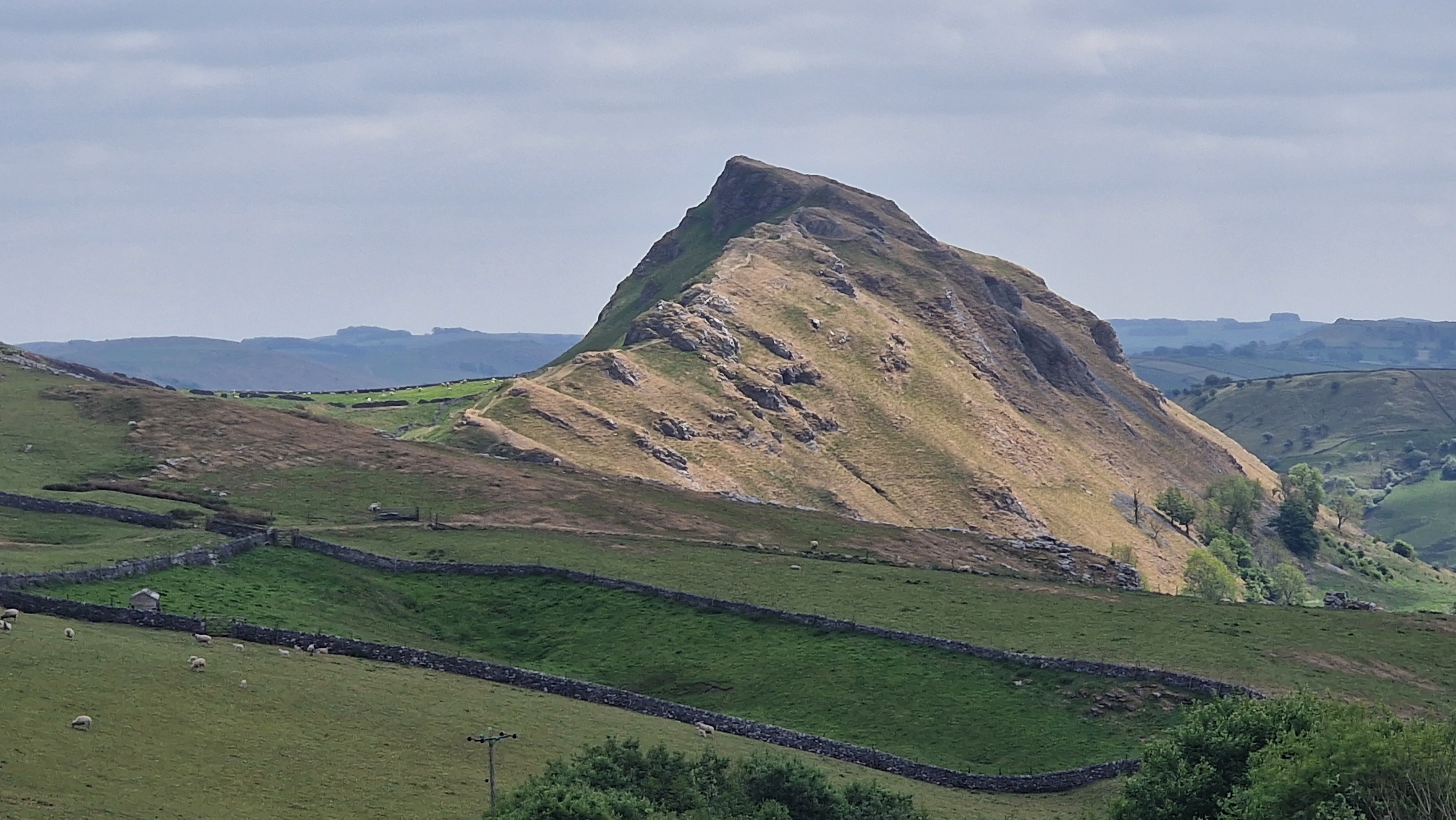
Chrome Hill from the west.
©gritstoneedge.co.uk
Bakewell
Current Weather
Last Updated today at : 10:20:34
| Overall : | broken clouds |
| Temperature : | 10degC. |
| Wind Speed : | 16km/hr. |
| Wind Direction : | SSW |
| Clouds : | broken clouds |
| Precipitation : | none |
| Sunrise : | 07:20:12 |
| Sunset : | 16:20:56 |
| : | Times are GMT add 1 hour for BST |
Data from openweathermap.org
Chrome Hill and Parkhouse Hill are the Dragon's Back; steep and craggy hills are really impressive from afar. This is a great walk around these hills on good paths, with the ascent of Chrome Hill, and maybe Parkhouse Hill, is an adventure. The area is within limestone area and the rocks can be slippy.


