From the layby cross the road and head steeply downhill on the path to reach the
forest path, often muddy after the recent forestry work. Walk south down the path
to reach the footbridge over the stream. To avoid walking along the busy A57,
which has no footpath and is too dangerous to recommend you must cross the River
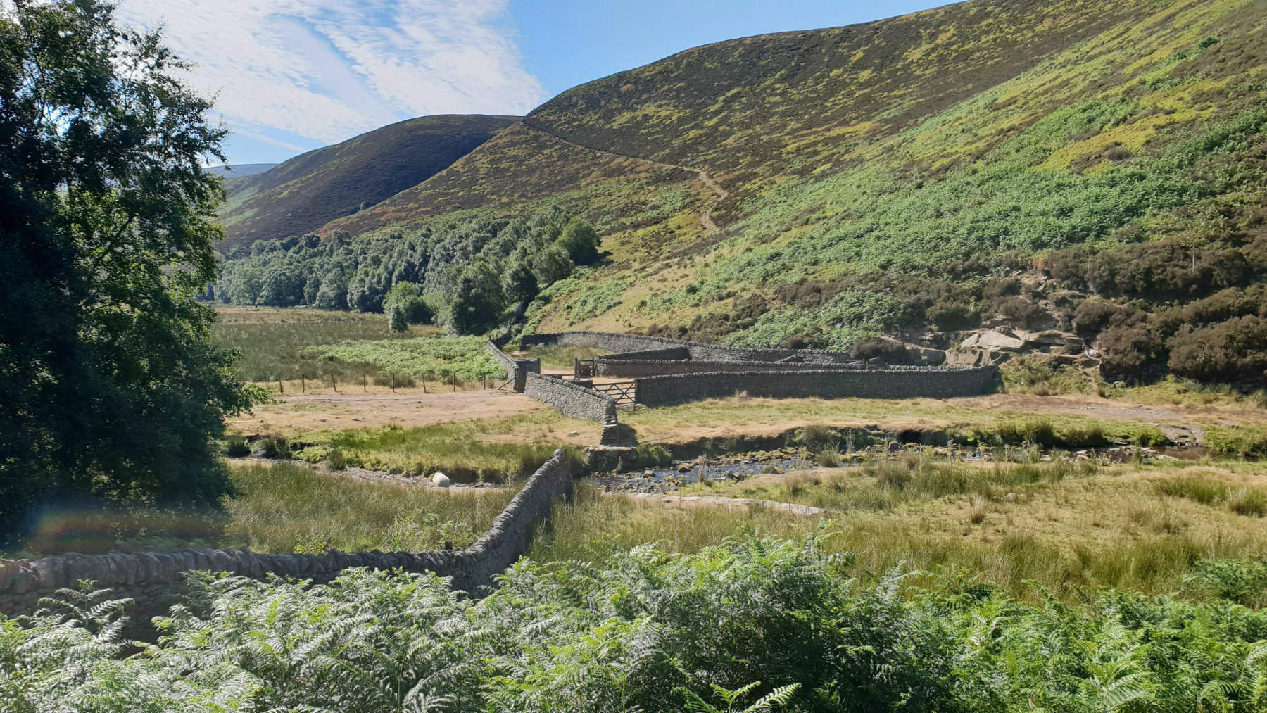
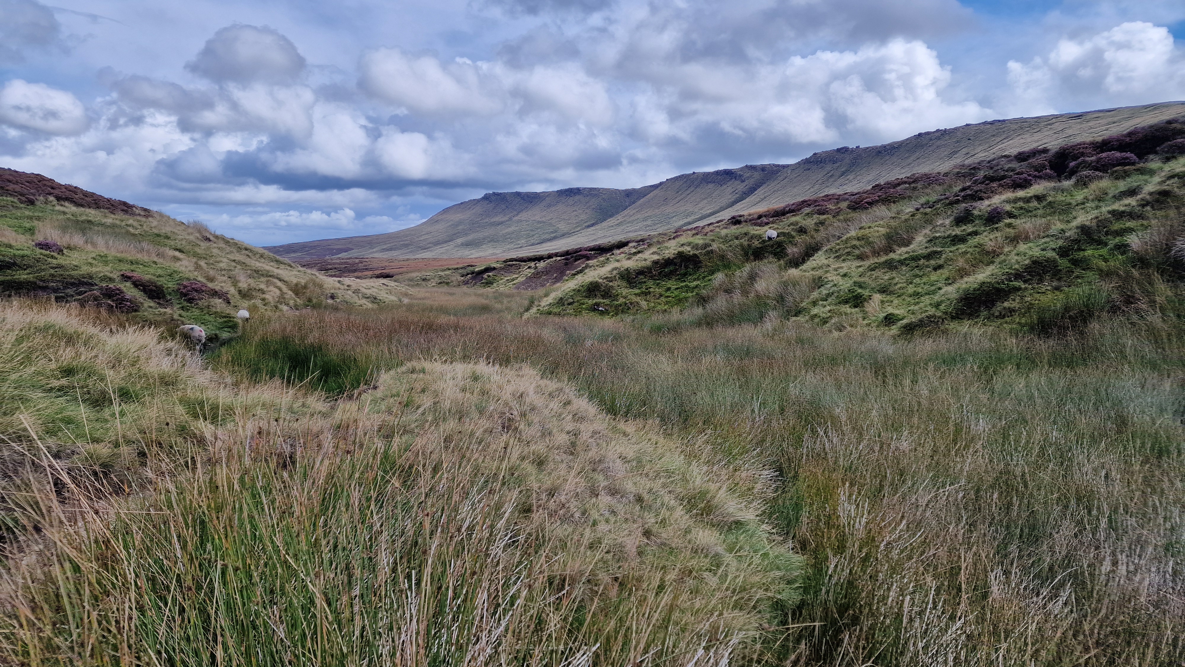
Ashop upstream, and options are limited. The route is aiming for the sheepfold further down
the valley. There is no low level path although you can see the high level path
on the hillside opposite that is too steep to climb directly.
Take the Snake path through the forest and then further upstream until a path is
seen on the other bank that climbs the hillside [SK097908]. Cross the stream,
usually low enough NOT to get feet wet. If the water is too high then there is a
small bridge upstream by a derelict building further upstream. Climb the path from the
river crossing to reach the main path that contours the hillside and finally
descends to the sheepfold. Just before the sheepfold there is a small stream to
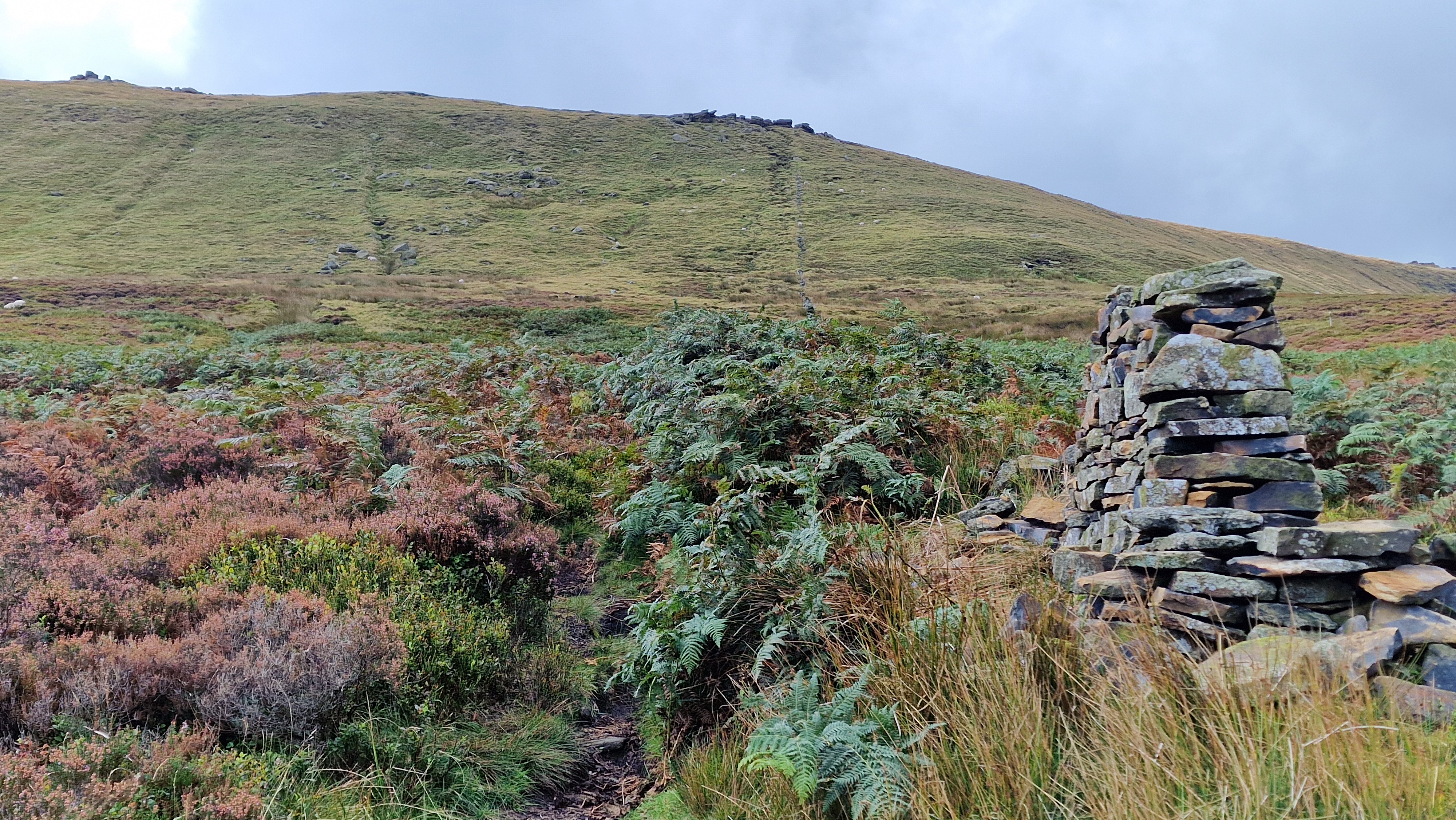
hop across. It is possible to shorten the walk here by climbing directly up
Fairbrook Naze. This route follows the good path which climbs the hillside steeply
to get around to Gate Side Clough. There is a path up this clough. From around halfway
follow the wall directly up to the northern edge of Kinder.
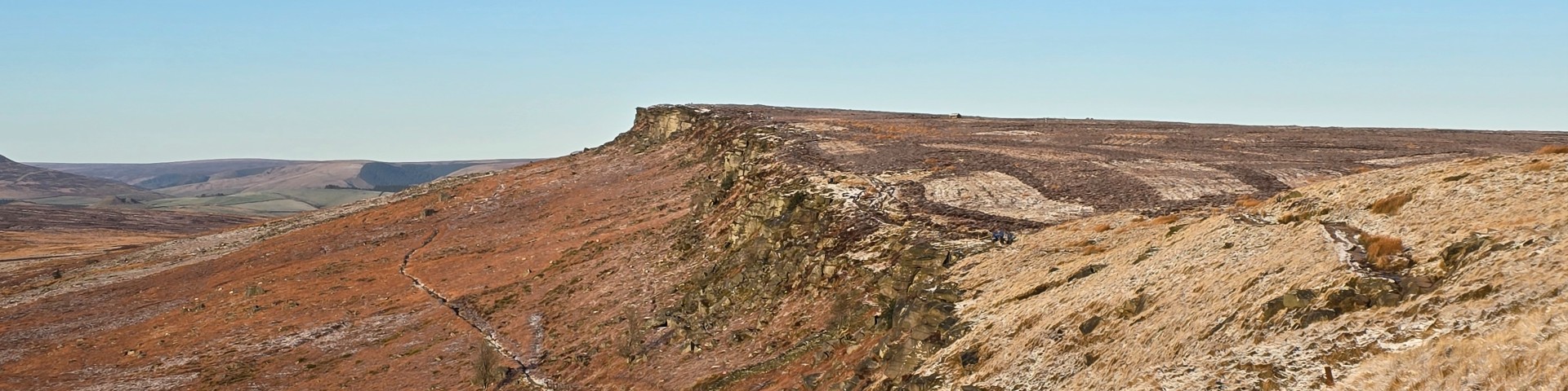
This path is the major climb of the day and reaches the edge at Seal Stones.
(6.0kms. 400mm. 2hrs. 40min.)
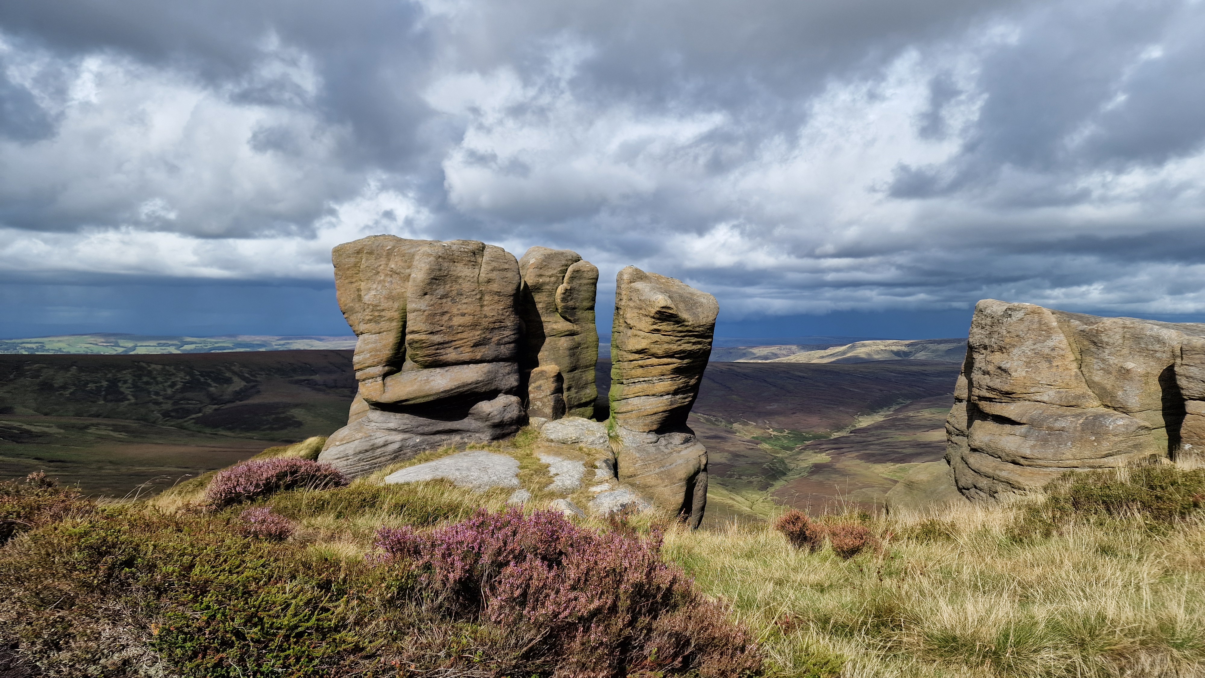
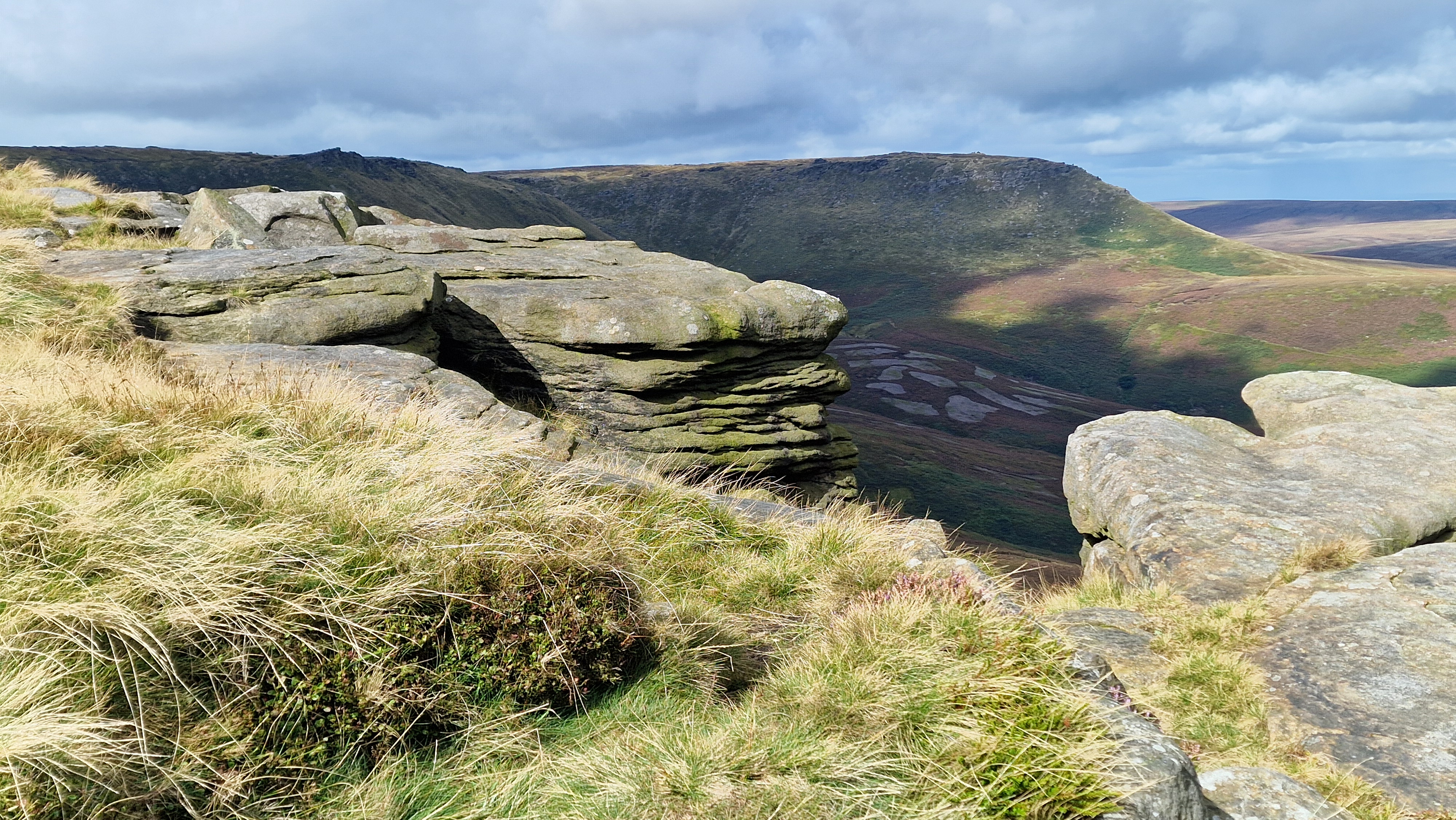
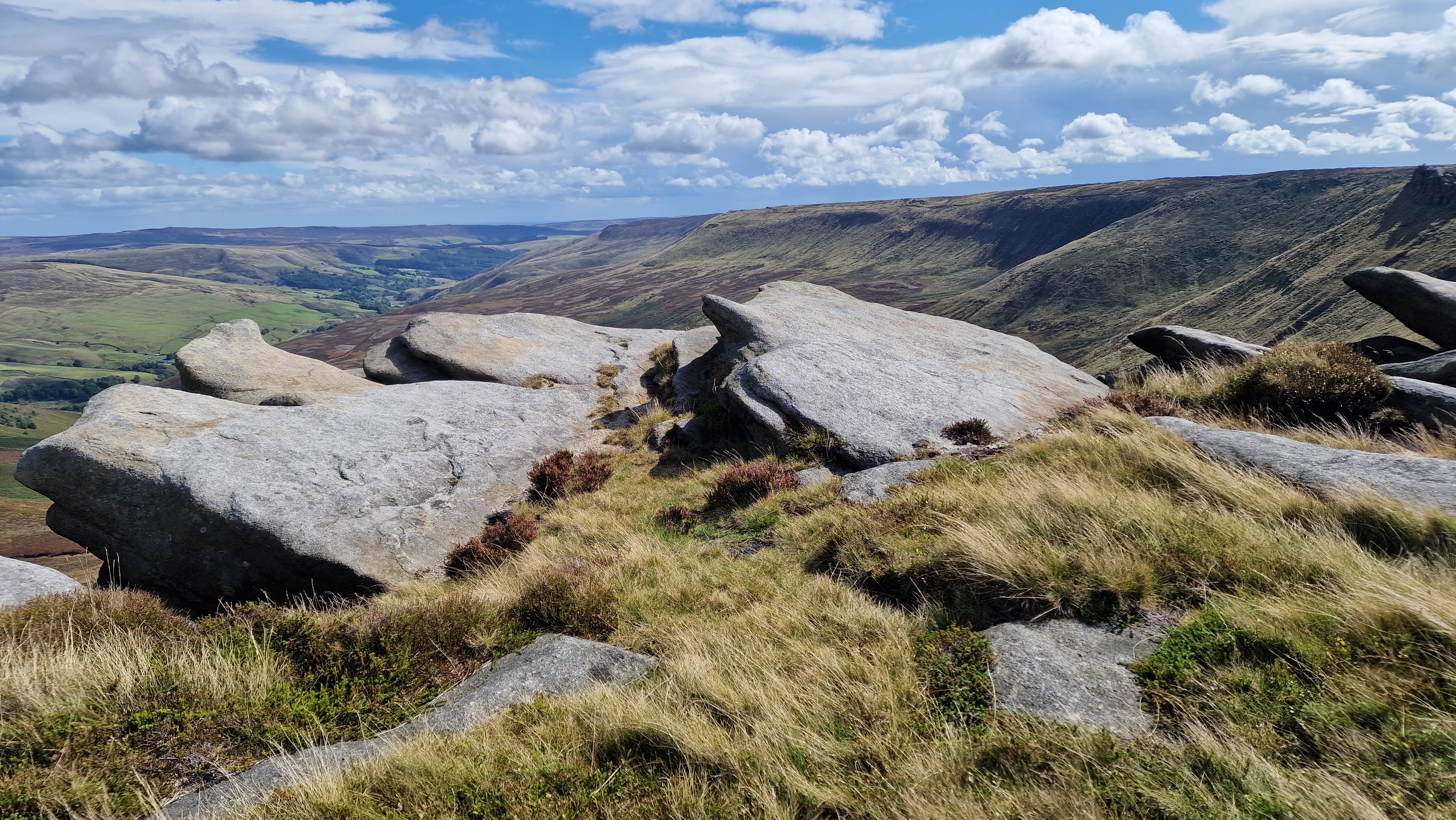
The walk around the north edge of Kinder is the highlight of the walk. The route
contains many interesting rock structures. There is a well defined path around the
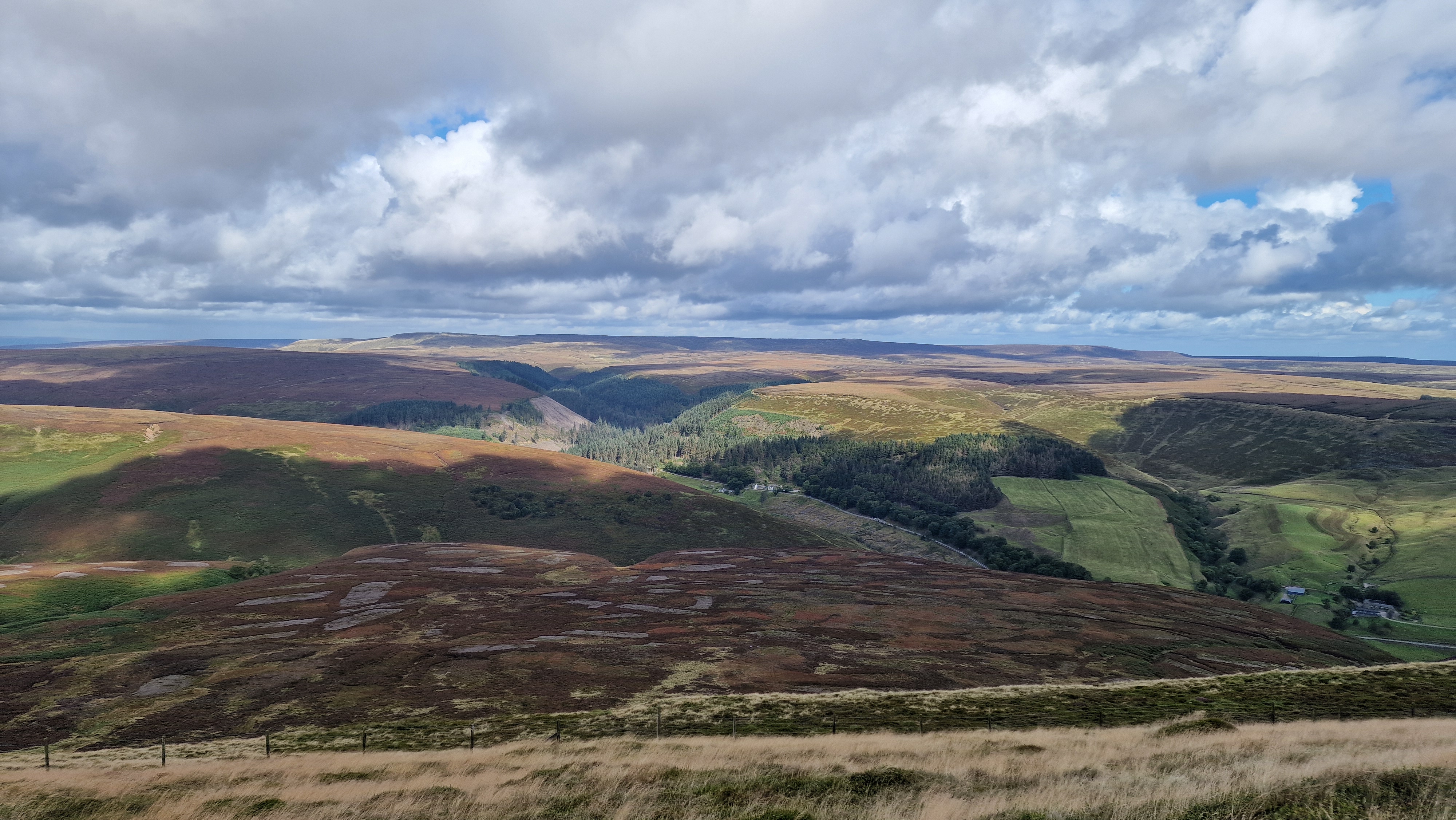
northern edge of Kinder which is followed all the way. At all times it is worth
looking north at the views over to Bleaklow, east to see the Derwent Edge and West
over to Manchester.
The route first follows the top of Seal Edge. There can be some wet bits
especially around the top of Upper and Middle Seal Clough.
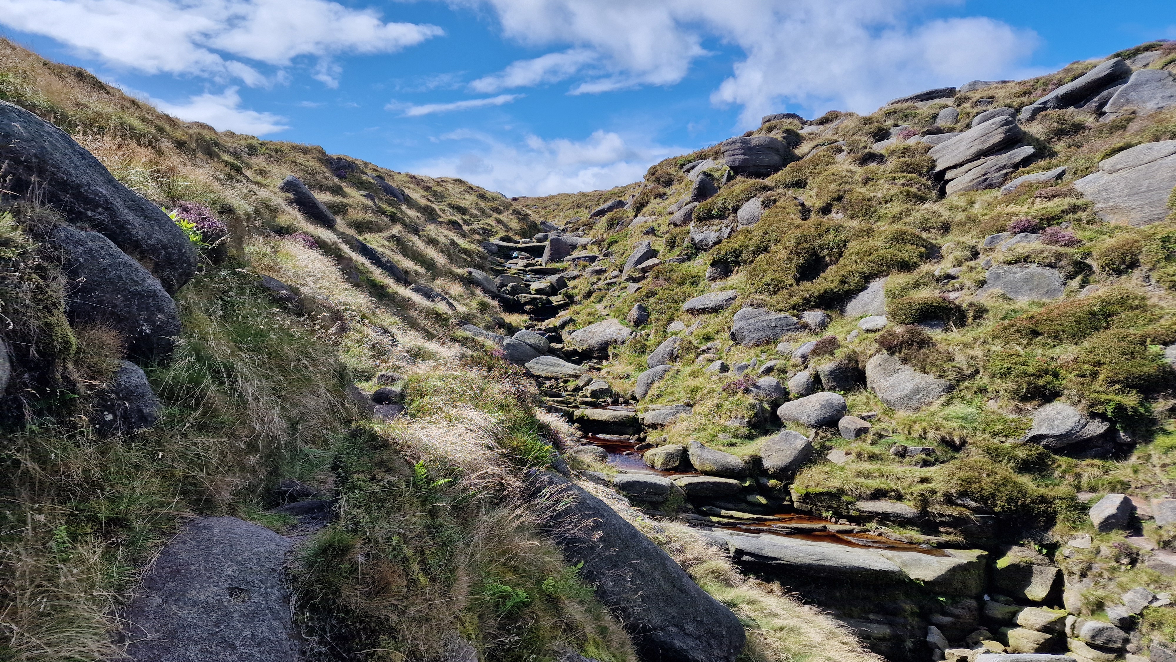
Continue along to the Fords at the top of Fair Brook. Here there are a few
waterfalls which are more impressive after wet weather. Follow the path north around
Fairbrook Naze and then west. This is 'The Edge' and followed to the north-west
corner of the Kinder plateau. The Edge is more of an edge than before with some
higher and steeper cliffs. At the end of The Edge there is a fence to cross to
reach the Pennine Way. Follow the Pennine Way down to the footpath junction at
Ashop Head. Take care on the very steep final descent to Ashop Head. The path has
been "improved" with rocks but it is really jarring on the knees.
(5.5kms. 50m. 1hrs. 50min.)
At the path junction, below Mill Hill, there is a signpost pointing back to Kinder,
to Hayfield, to Bleaklow and the way we take, to the Snake Inn. This route
turns right, east, to follow the Snake Path. This is a good path, although a bit
wet in the initial phase. All the way there are great views along the northern edge
of Kinder, the edge we have just walked. Look out for the ruined building and bridge
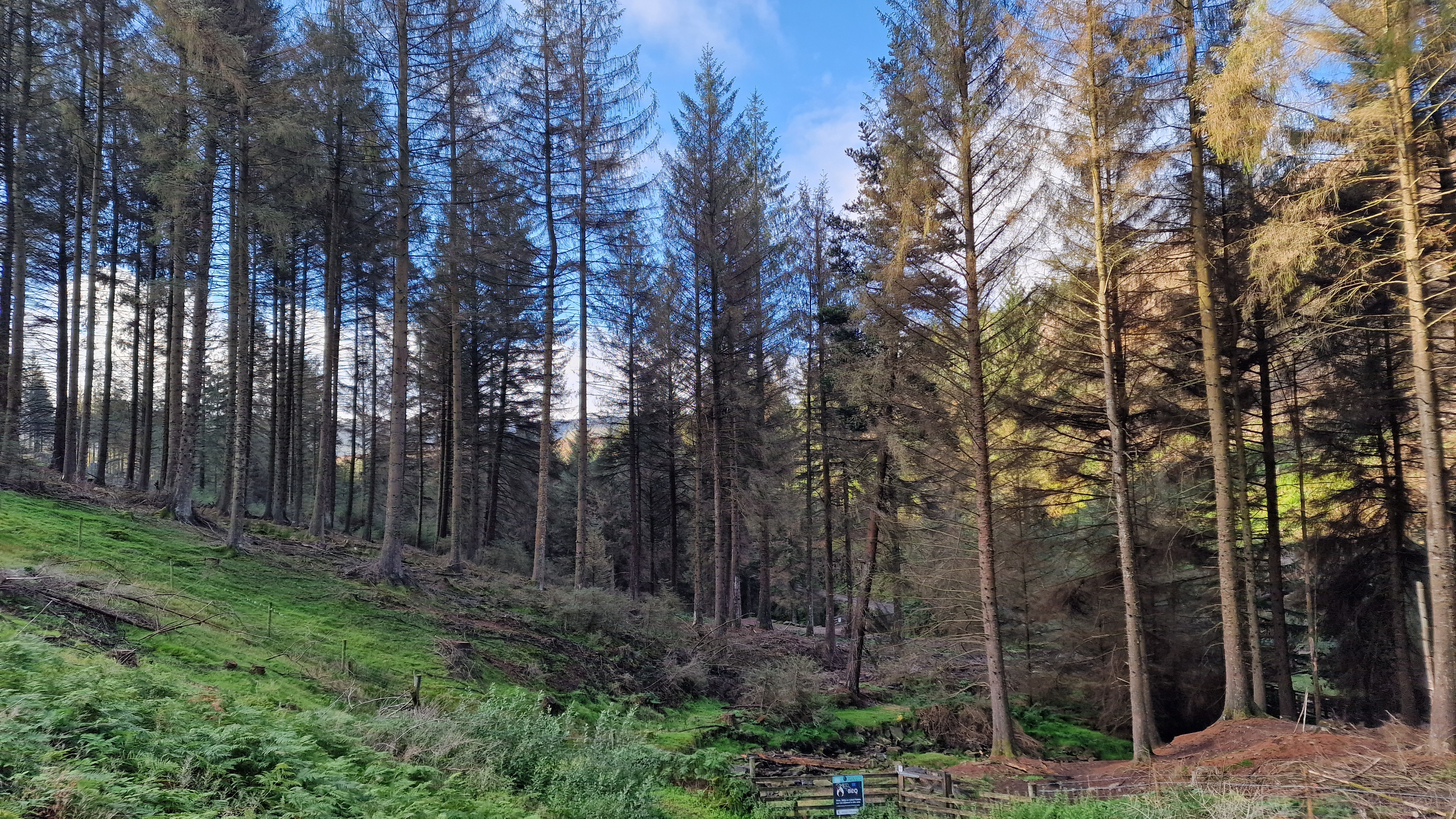
prior to seeing Lady Clough Plantation. The path enters the forest about 1km from
the road. Follow the path through the forest to get to the footbridge. Once over
the footbridge turn left and follow the path north; this is the path followed
at the start of the walk. The path leads to the A57, cross
the road to Birchin Clough.
(5.0kms. 50m. 1hrs. 40min.)