Bleaklow Stones via Westend.
| Hill Summit : | Barrow Stones[SK133967, 590m.] |
| Hill Summit : | Grinah Stones[SK130961, 583m.] |
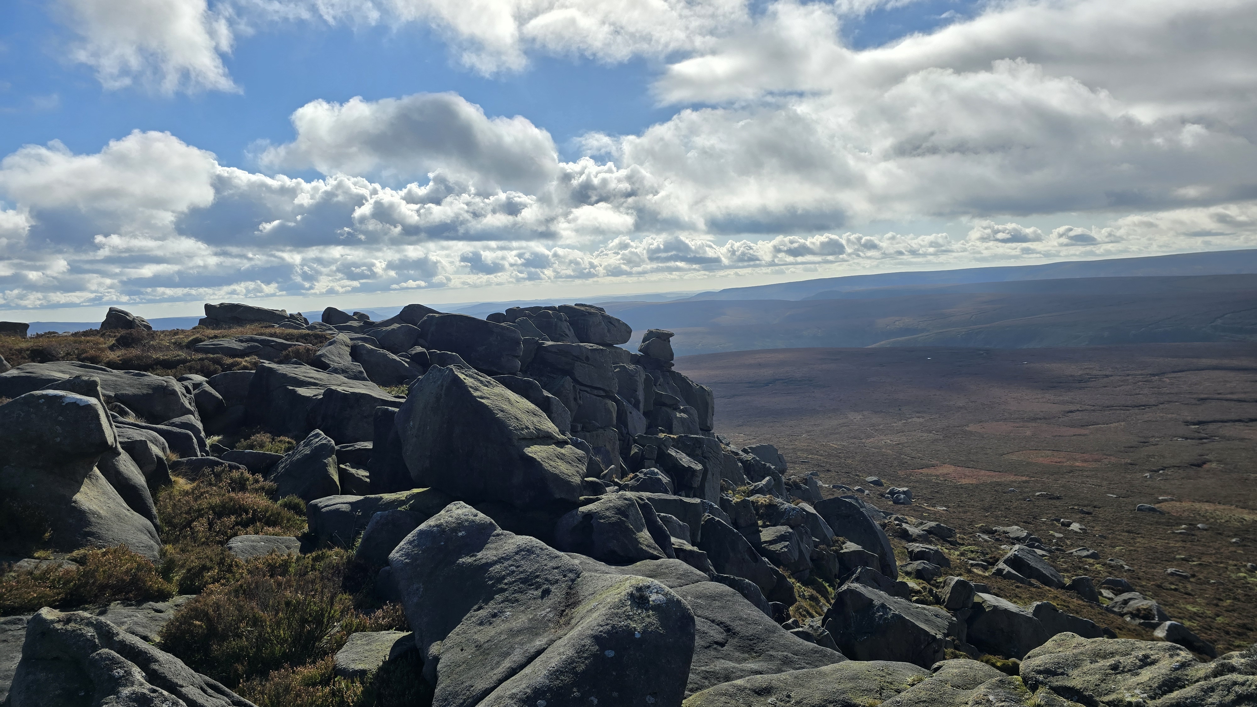
| Hill Summit : | Bleaklow Stones[SK114963, 620m.] |
| Start : | Howden Reservoir. Parking off the road on the western limb of Howden Reservoir.[SK154927 275m ] |
| Summary : | Howden Reservoir (Western Arm) - Westend - Round Hill - Barrow Stones - Grinah Stones - Bleaklow Stones - The Ridge - Westend Moor - Alport Castles (Top) - Howden Reservoir |
| distance : | 13.5km. |
| ascent : | 380m. |
| time : | 4hr. 40min. |
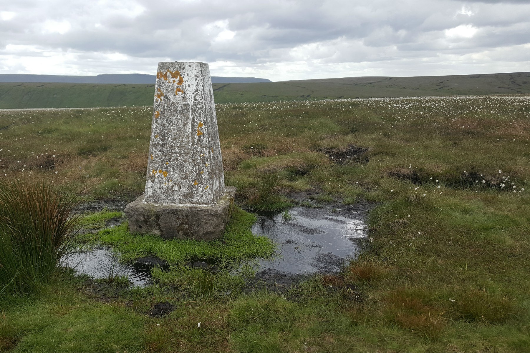
Trig point at Westend Moor.
©gritstoneedge.co.uk
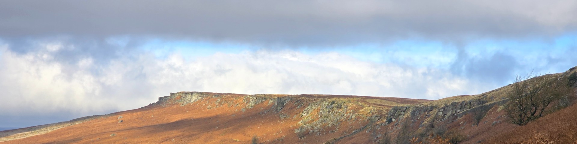
Barrow Stones
©gritstoneedge.co.uk
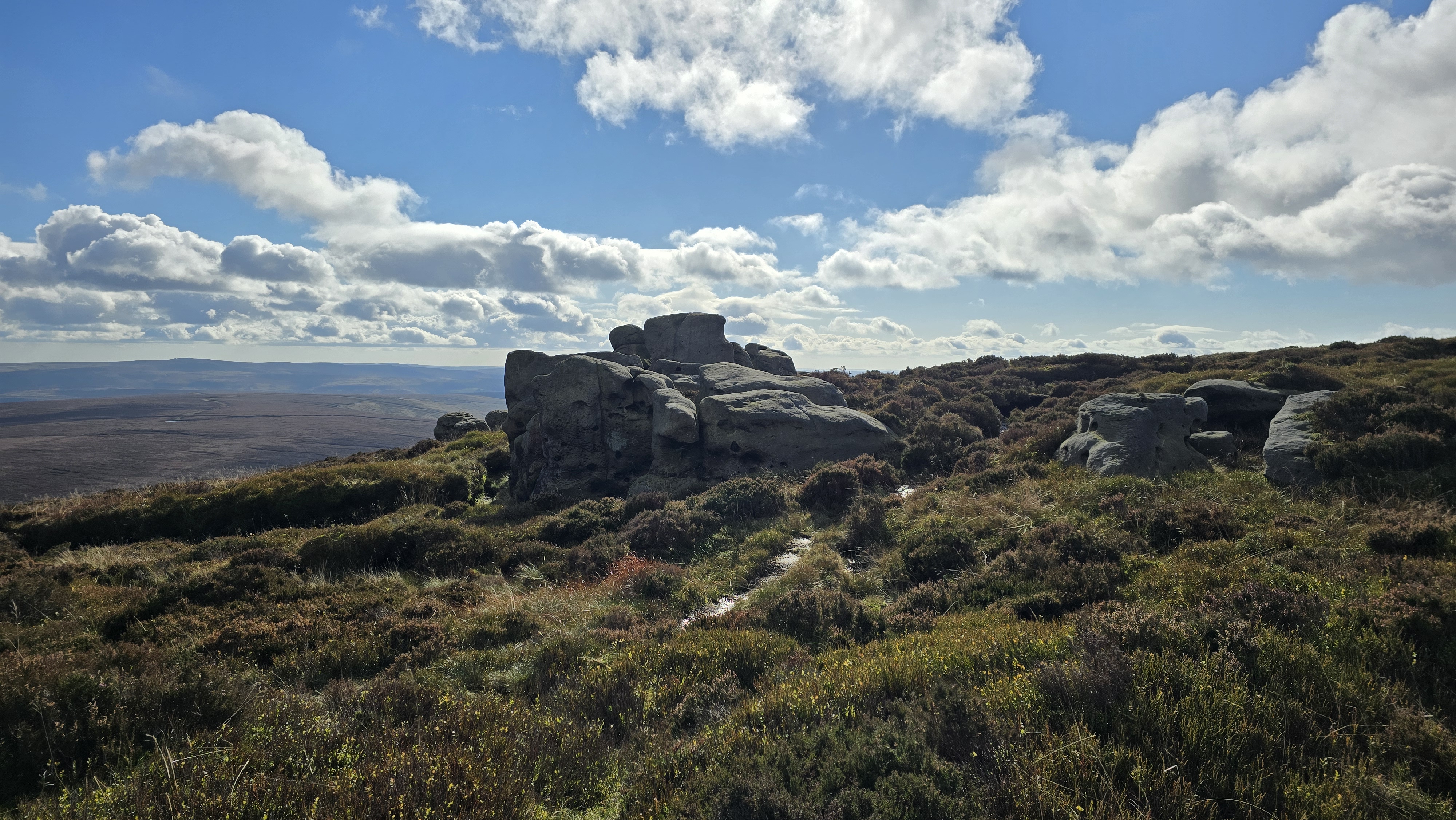
Grinah Stones
©gritstoneedge.co.uk
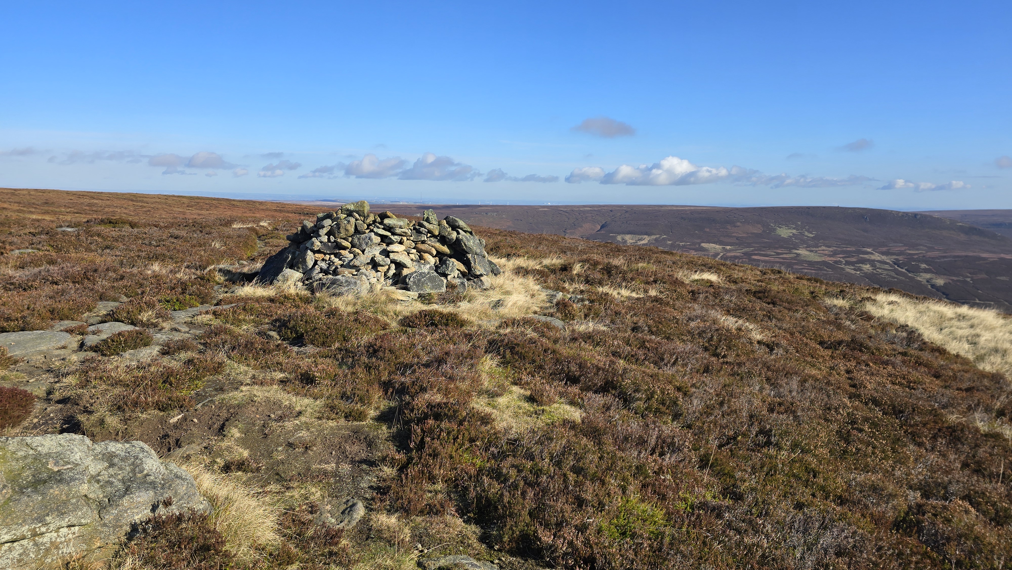
Shelter at Round Hill
©gritstoneedge.co.uk
Sheffield
Current Weather
Last Updated today at : 10:17:41
| Overall : | scattered clouds |
| Temperature : | 10degC. |
| Wind Speed : | 15km/hr. |
| Wind Direction : | SSW |
| Clouds : | scattered clouds |
| Precipitation : | none |
| Sunrise : | 07:19:58 |
| Sunset : | 16:19:30 |
| : | Times are GMT add 1 hour for BST |
Data from openweathermap.org
The "Stones" lie on the southern edge of Bleaklow overlooking Westend. From here the water flows down the Westend, south west, to fill up Howden reservoir. This route follows a horseshoe up from Howden reservoir to this high point of Bleaklow. The area around here has been much changed over the past decade. Gone are the extensive desolate areas of dark peak bog, to be replaced by a more stable landscape of green grass. Don't be too disappointed; there are still some areas of peat and the area can be very wet.


