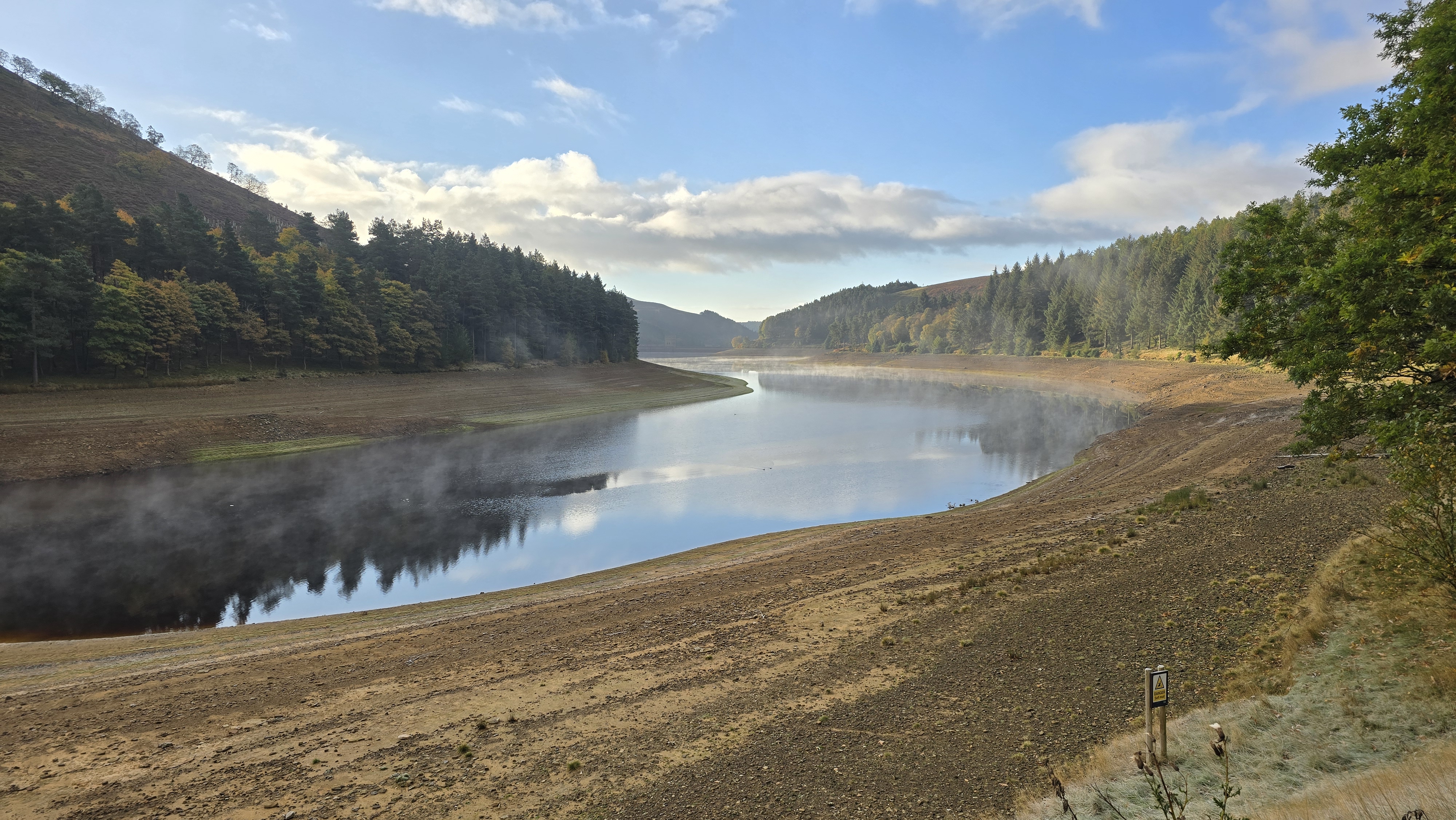
From Kings Tree take the track north through the forest to reach Slippery Stones by
the pack horse bridge over the Derwent. Cross the bridge and follow the path north.
At the signpost, and path junction continue north along the direction of the Derwent.
The path to the right leads to Cut Gate. After some 3km the track gives way to a path,
but continue to follow the path north. After another 1km the path starts to diverge
from the river and starts to climb up Hoar Clough. Follow the path up the true left
bank of the clough until it starts to flattens out. You will see Shepherds Meeting
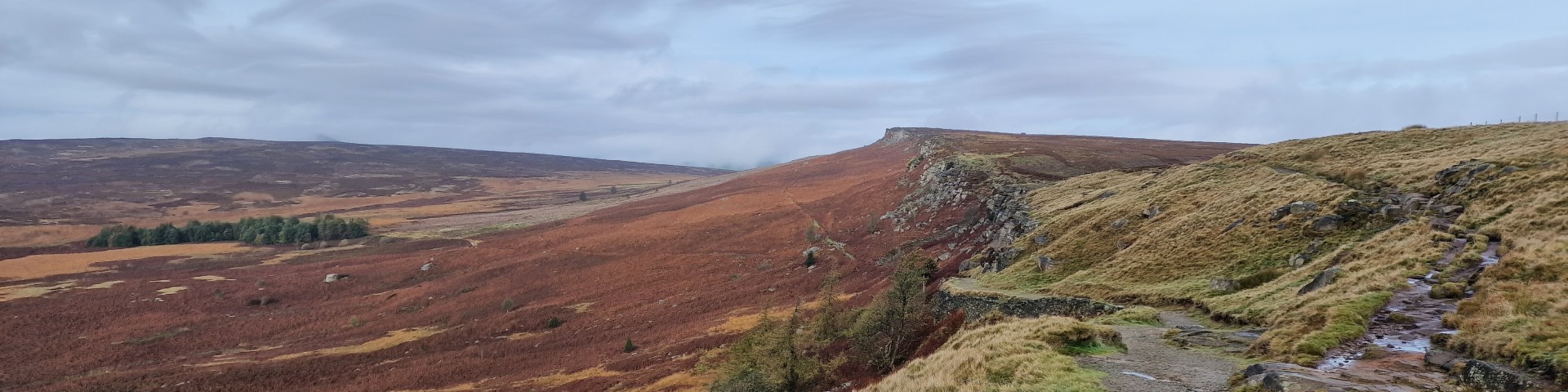
Stones on the opposite bank of the clough. Follow the path, as shown on the map to
reach the path along the ridge. There are great views from here, most surprising is
the view of the lorries driving along the Woodhead Pass; so near but also so far. The
rest of the route can be seen from here, across the top of the Derwent, onto Grinah
and Barrow Stones.
(5.5kms. 240m. 2hrs. 10min.)
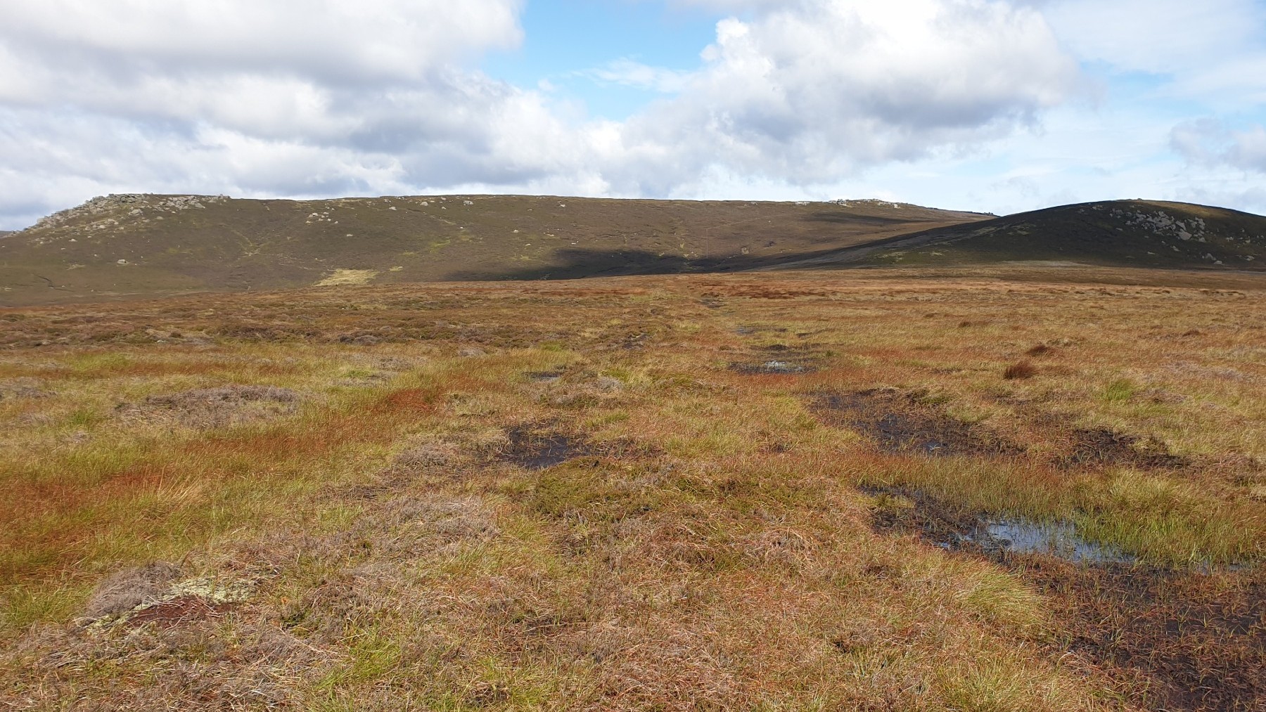
The path along the top of the ridge around the top of the Derwent can be wet, but
these days, with the management of the moors, it is not as wet as it has been in the
past. Walk west along the path around the top of the Derwent to reach Swains Head.
Continue west along the line of stakes, and then south around Swains Grieve. At the
col at SK124968 in the middle of a moor, it is time to break off to find the two small
lakes and then onto the top of the moor at point 595. From here walk south to get to
Grinah Stones. It is worth paying close attention to the navigation aids, map and
compass or OS phone app whilst walking away from the ridge as navigation can be
difficult and it is necessary to know where you are at all times on this empty moor.
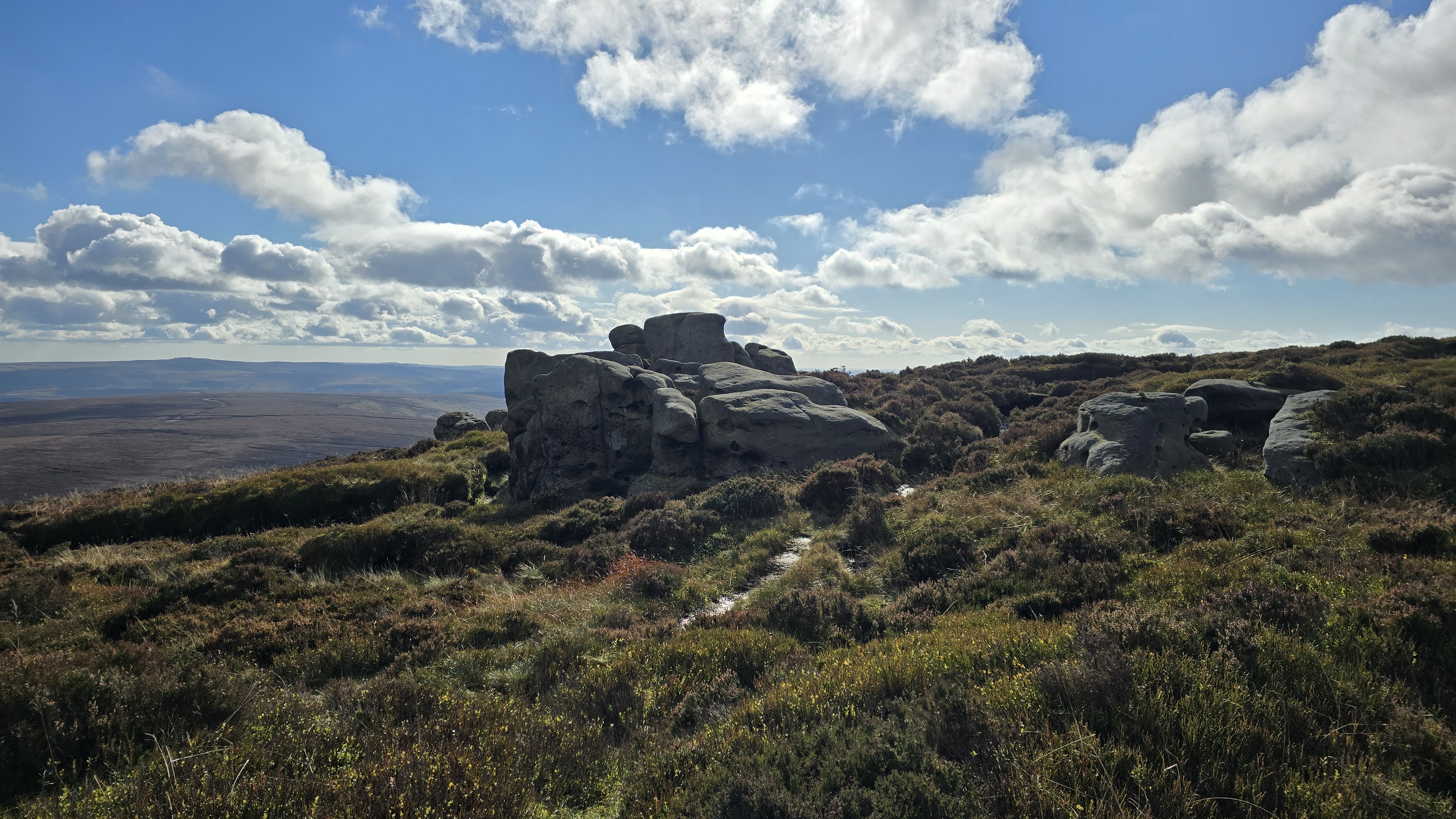
From the top of Grinah Stones, the stones look fantastic, some work of modern art?
It is worth exploring around where
the walker will see a significant edge of gritstone rocks on the west side of Grinah
Stones. This edge is more broken than the edges around Stanage but nevertheless very
impressive. There are extensive views from here including the Eastern Edges, down
the Derwent Valley and over to Kinder.
(4.5kms. 100m. 1hrs. 30min.)
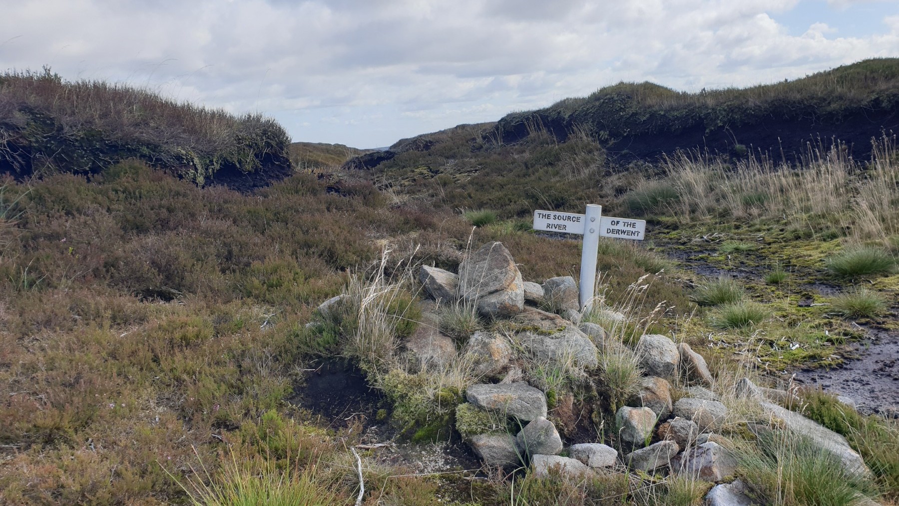
The target once you leave Grinah Stones is Barrow Stones, via the source of the
Derwent. Follow the path that contours around the hillside towards Barrow Stones.
Just prior to Barrow Stones get the navigation equipment out again to navigate to the
source of the Derwent at SK132967.
The source is marked by a small white signpost. There
are views north from here but the moor cuts out the views south. From here navigate
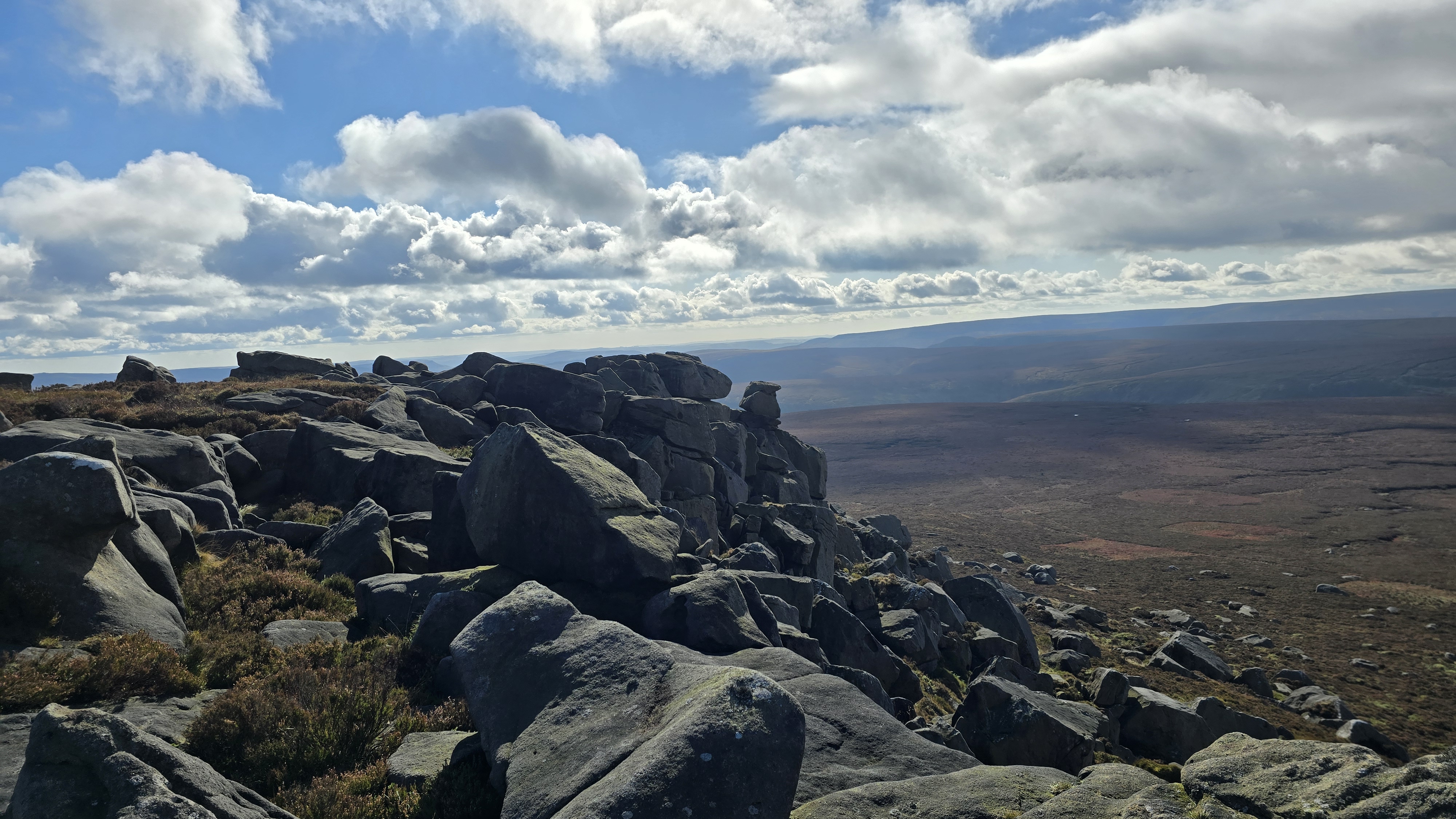
back to Barrow Stones. Once Barrow Stones is reached it is worth exploring around to
see the many fine rock sculptures in the area. Looking south from here is a vista
that takes in Derwent Edge, Kinder, Bleaklow and much of the northern Peak District.
Ahead is Round Hill, walk down hill towards Round Hill and get to a small gate in the
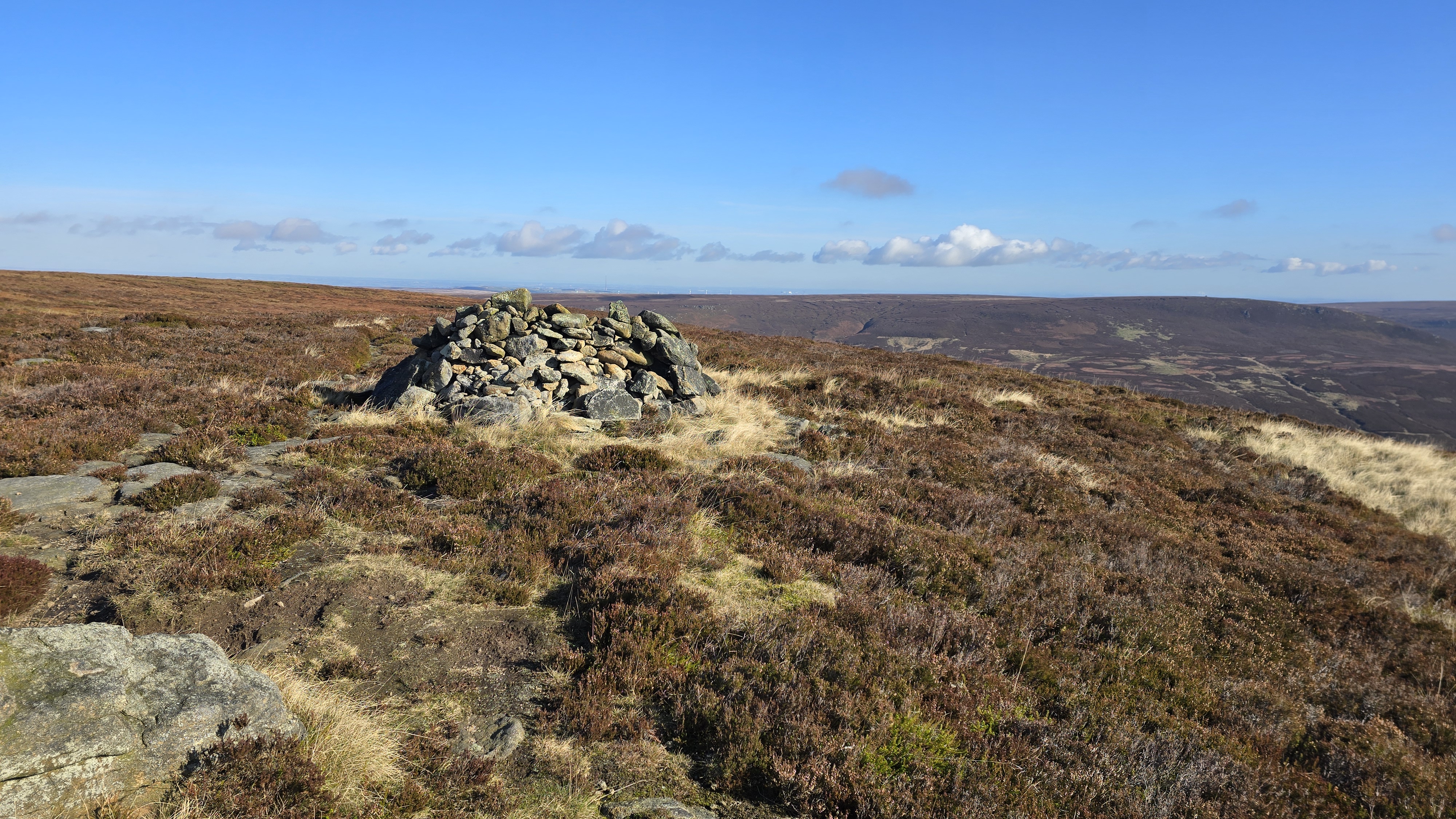
fence that surrounds Bleaklow. Through the gate and onto Round Hill. There is a good
round shelter marking the summit. Descend Round
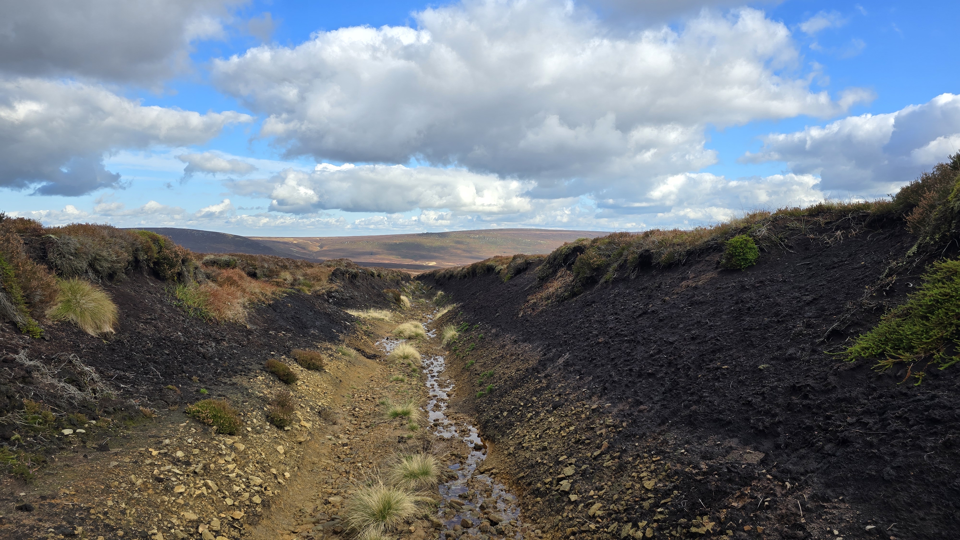
Hill via the stony path then follow the faint path over the moor to the start of
Black Dike Drain. Just after the start of the Drain, there is a track (on the right)
climbing up from the Westend and one (on the left) down Lower Small Clough (SK141955).
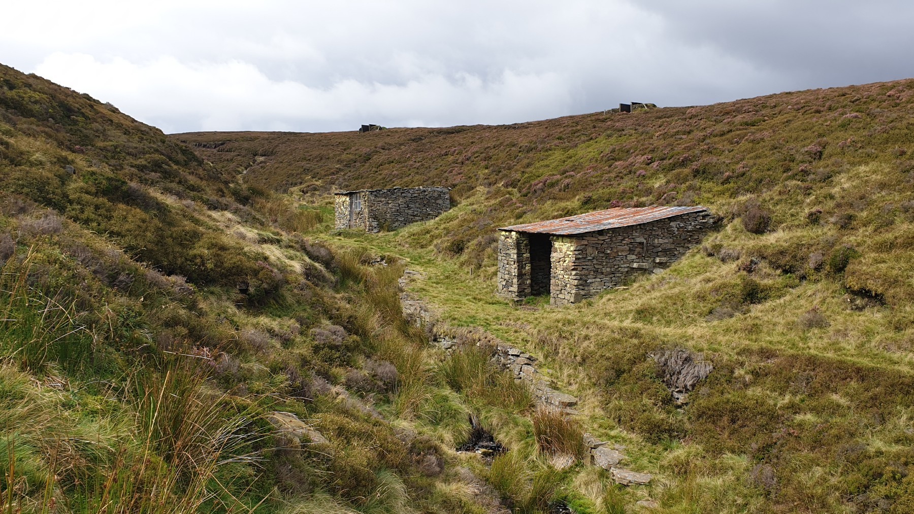
Follow the well marked track down Lower Small Clough. Soon the walker reaches the
shooting cabins in Lower Small Clough. Continue down the clough on the path to reach
the main valley. Walk upstream for a few meters to find a safe place to cross the
Derwent. Once across, climb the grassy slopes steeply to reach the main track along
the Upper Derwent Valley. Follow this good track alongside the River Derwent down to
Slippery Stones bridge and then back to Kings Tree.
(8.0kms. 50m. 2hrs. 30min.)