Fire Risk in the Peaks: There have been numerous fires in the Peaks. These fires not only kill the ground level vegetation but also can go deep underground and destroy the underlying peat. There are signs all around the Peak District indicating that naked flames be they fires, barbecues, stoves or indeed any naked flames are banned in the Peak District. There is a hefty fine if these rules are broken. Take care when out walking and protect the Peaks. [May 2026]
gritstoneedge.co.uk - Trig Points on the edge
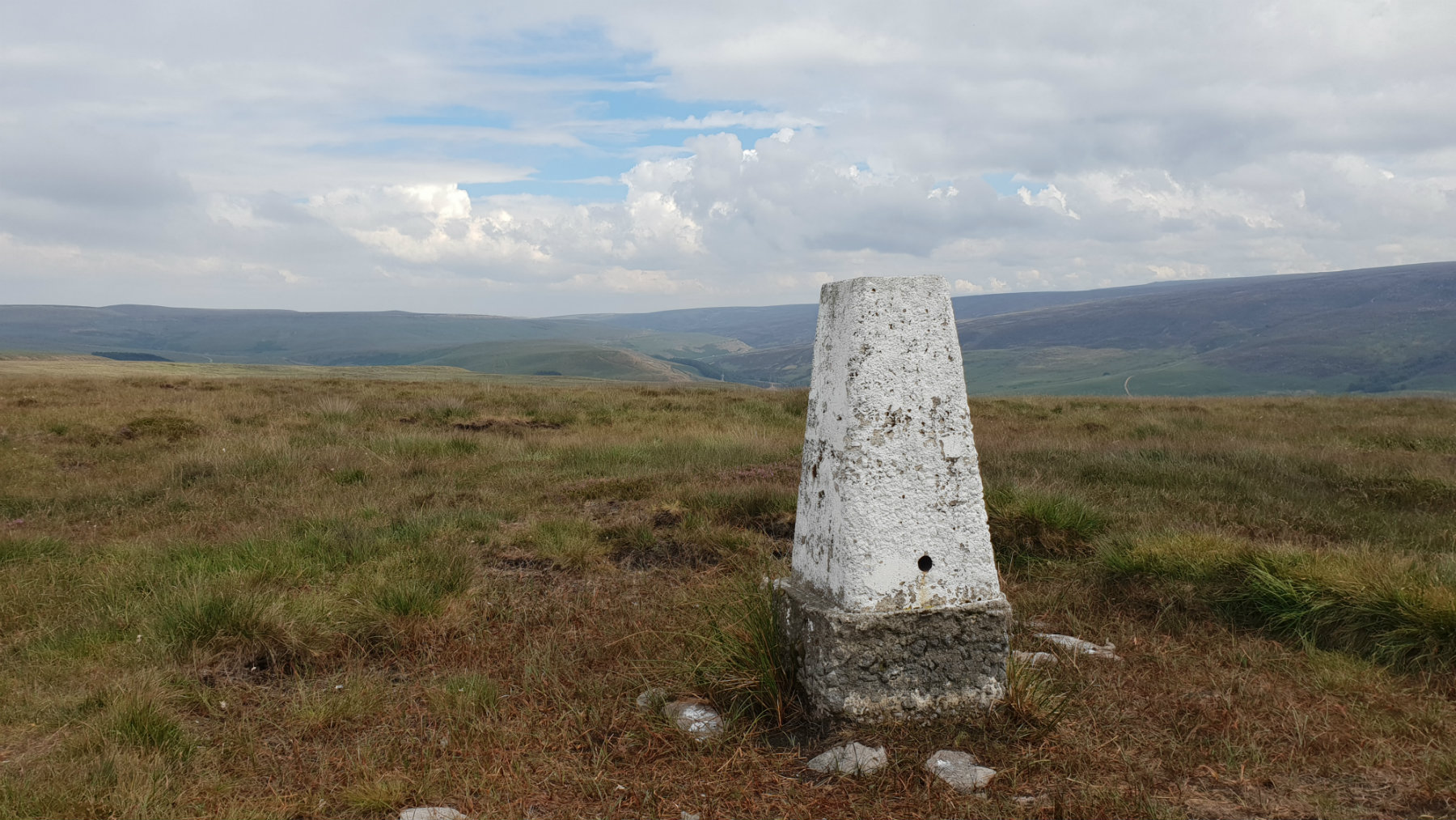
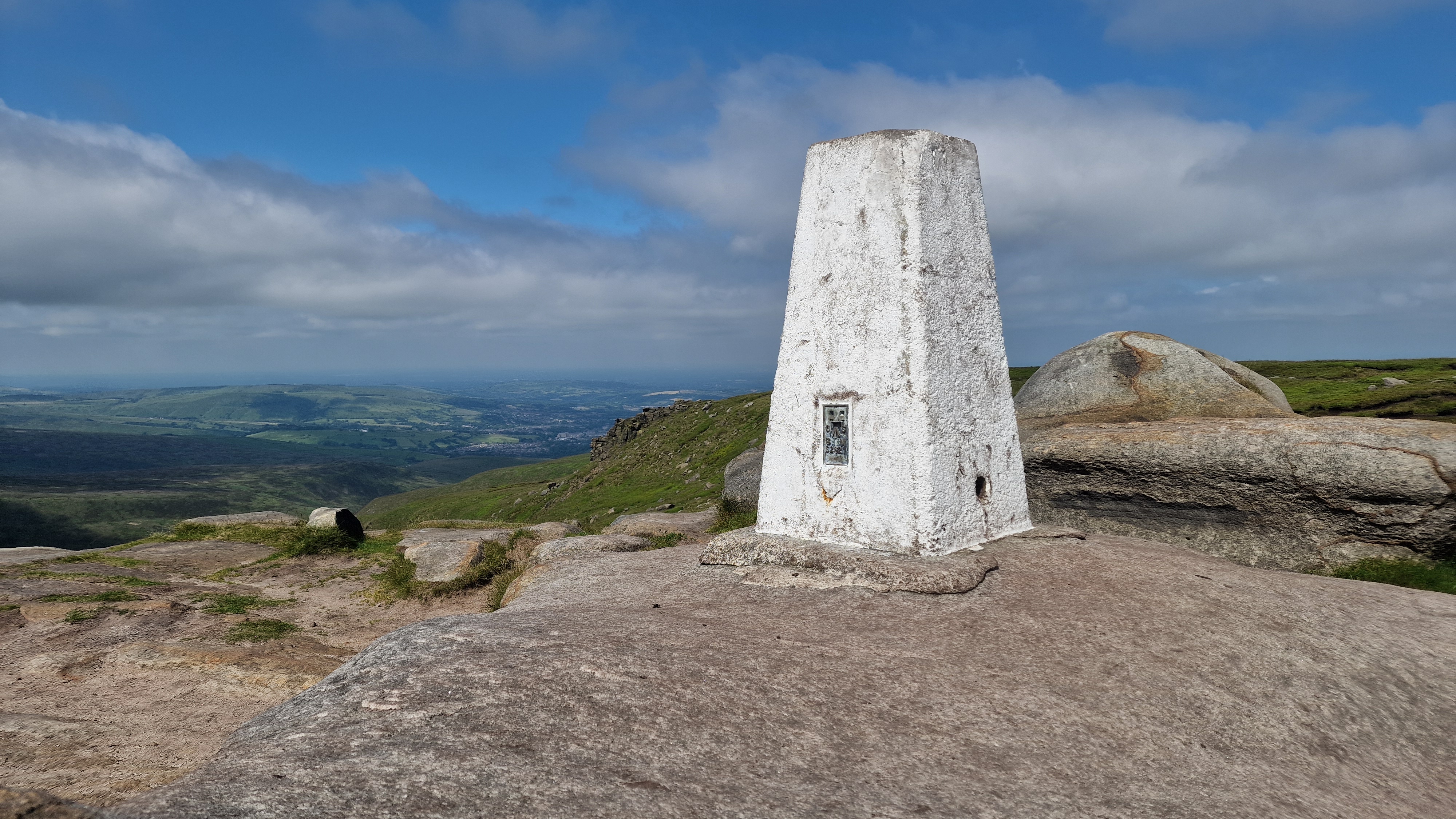
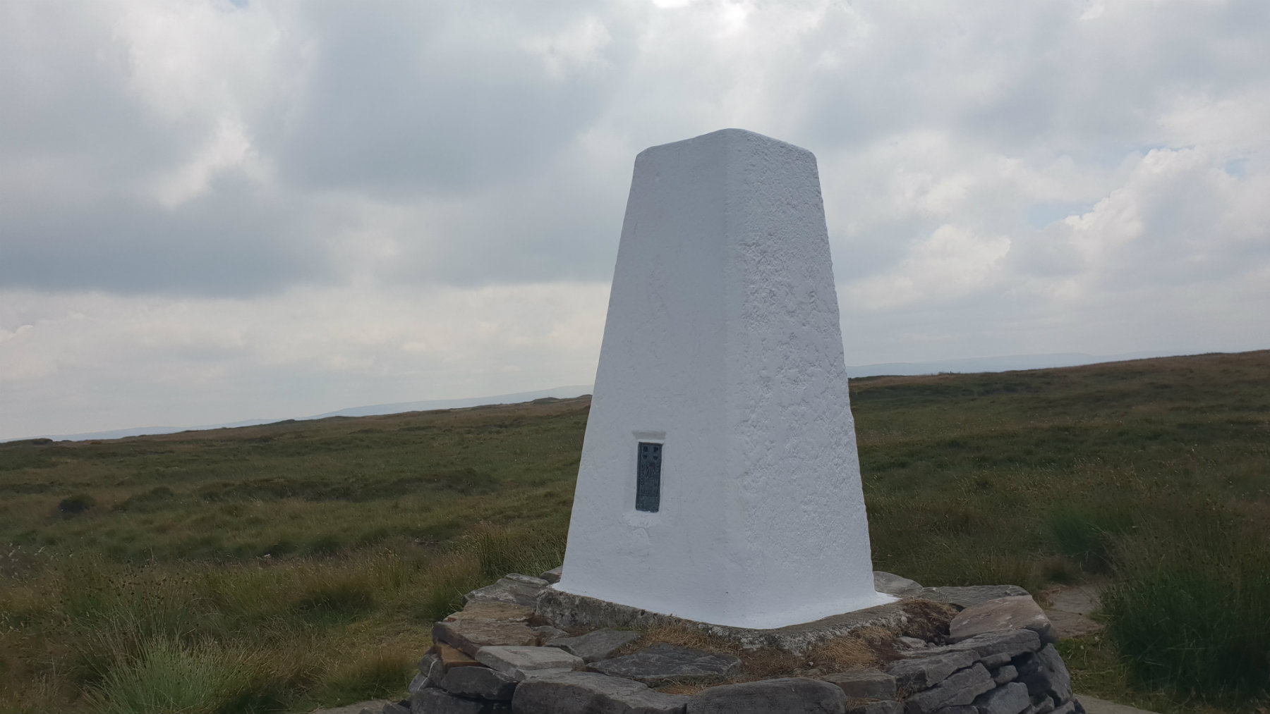
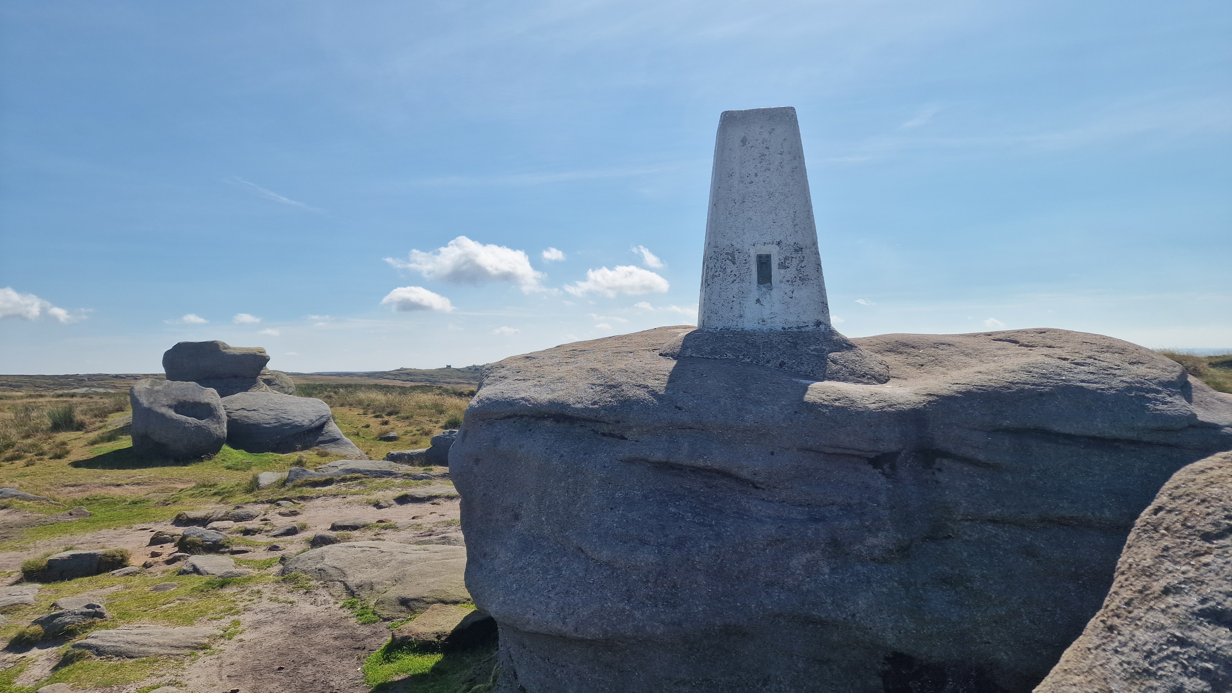
- 1m high triangular columns found on hill tops
- Placed on hill tops with good views and other prominent areas
- Used for mapping the langscape locations heights by triangulation
- Superseded by ariel photography and satellite mapping
- Many kept nice and tidy by volunteers.
- There are 88 of these within the Peak District
- Over time this site will have links to many.
Stanage High Neb
©gritstoneedge.co.uk
Back Tor
©gritstoneedge.co.uk
Birchen Edge
©gritstoneedge.co.uk
Blacka Plantation
©trigpointing.uk
Brown Knoll
©gritstoneedge.co.uk
Edale Moor (Kinder) East
©gritstoneedge.co.uk
Flask Edge
©gritstoneedge.co.uk
Hey Edge TrigPoint overlooking Woodhead Valley.
©gritstoneedge.co.uk
Higher Sheft Stones.
©gritstoneedge.co.uk
Black Hill
©gritstoneedge.co.uk
Kinder Low
©gritstoneedge.co.uk
Mam Tor
©gritstoneedge.co.uk
Margery Hill
©gritstoneedge.co.uk
Outer Edge
©gritstoneedge.co.uk
Ox Stones
©gritstoneedge.co.uk
Sir William Hill Trig Point.
©gritstoneedge.co.uk
Stanage Edge
©gritstoneedge.co.uk
Kinder North
©gritstoneedge.co.uk
The Roaches
©gritstoneedge.co.uk
Westend Moor
©gritstoneedge.co.uk
White Edge
©gritstoneedge.co.uk
Win Hill
©gritstoneedge.co.uk
Bleaklow Head*
©gritstoneedge.co.uk
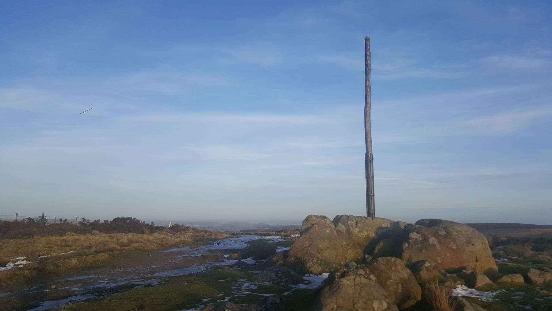
Stanage Pole*
©gritstoneedge.co.uk
Edale
Current Weather
Last Updated today at : 15:09:32
| Overall : | overcast clouds |
| Temperature : | 25degC. |
| Wind Speed : | 10km/hr. |
| Wind Direction : | NNW |
| Clouds : | overcast clouds |
| Precipitation : | none |
| Sunrise : | 04:04:27 |
| Sunset : | 20:22:23 |
| : | Times are GMT add 1 hour for BST |
Data from openweathermap.org
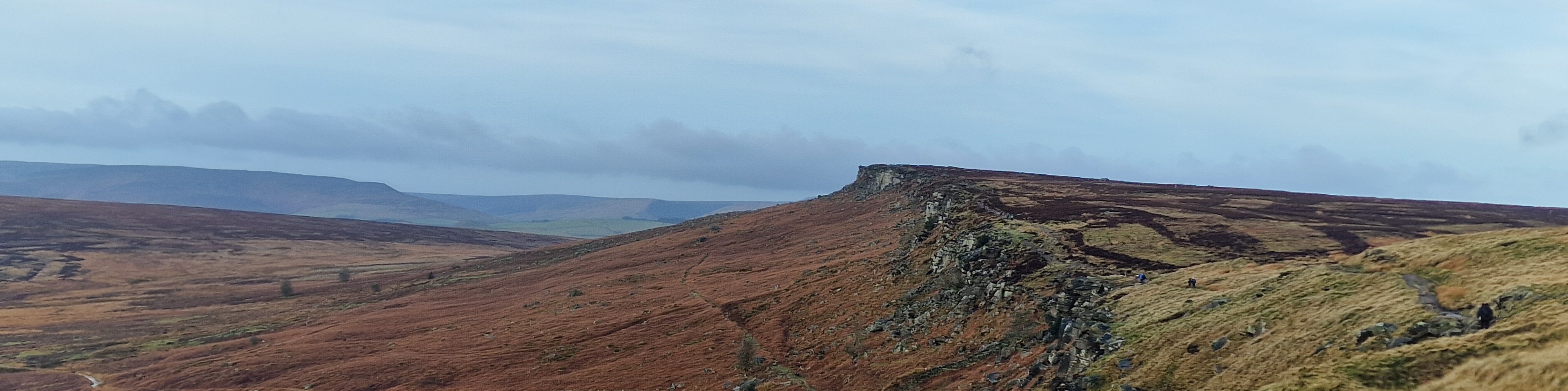
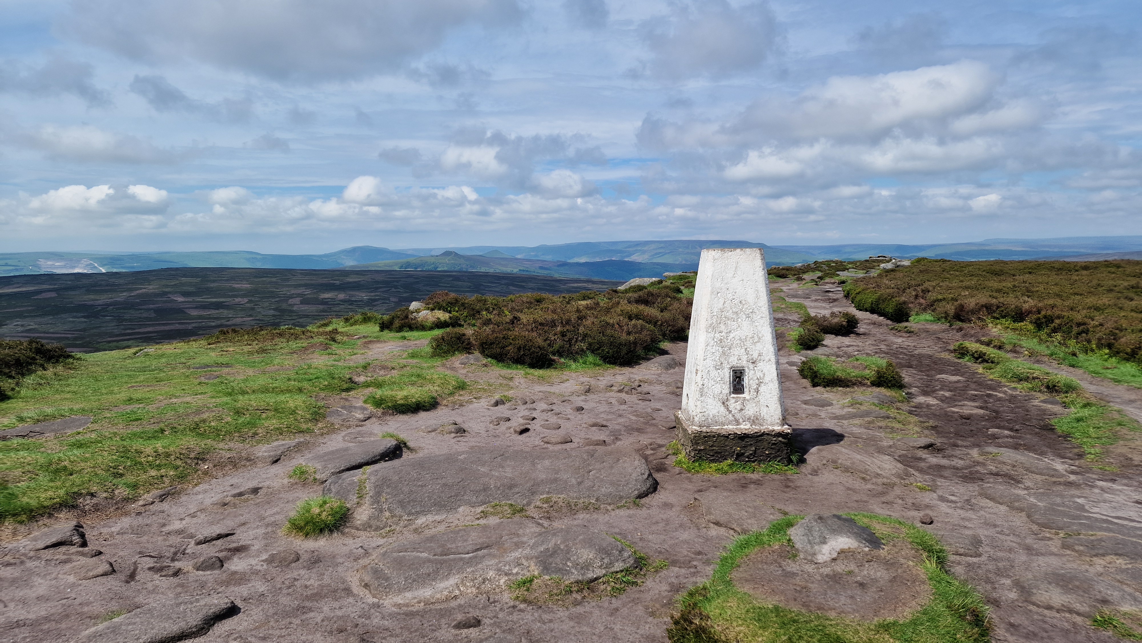
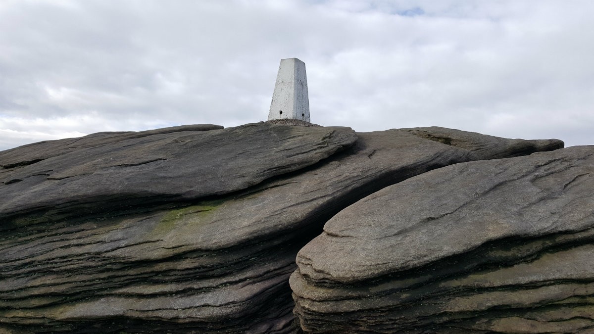
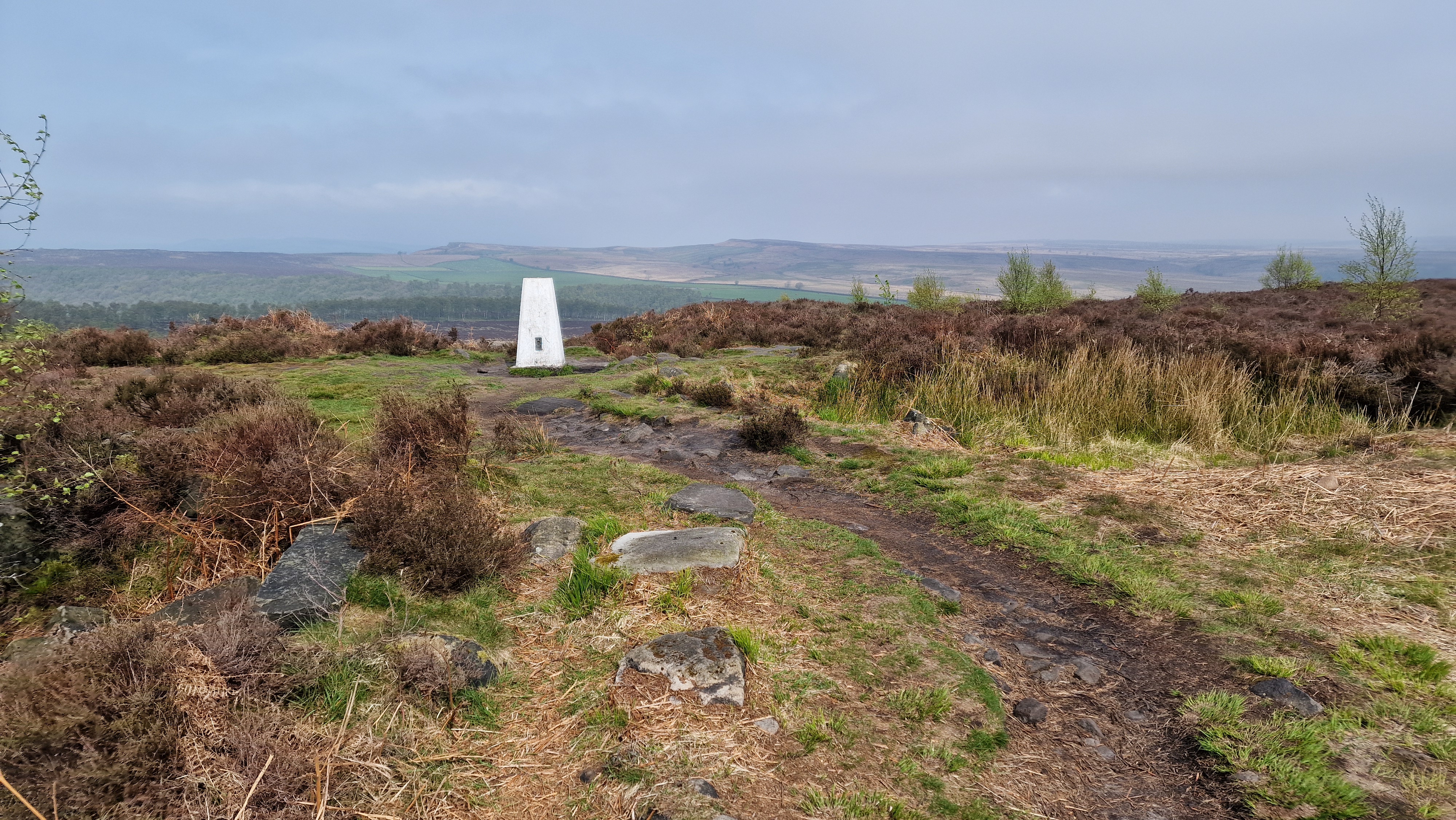
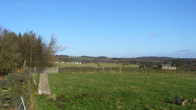
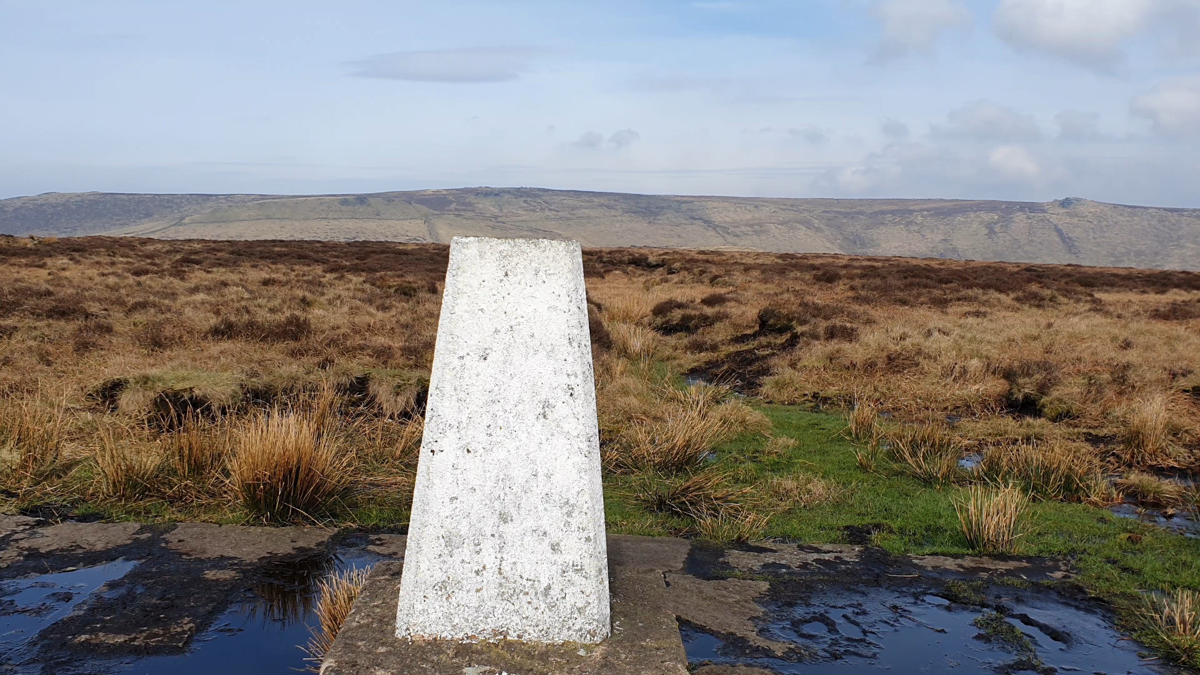
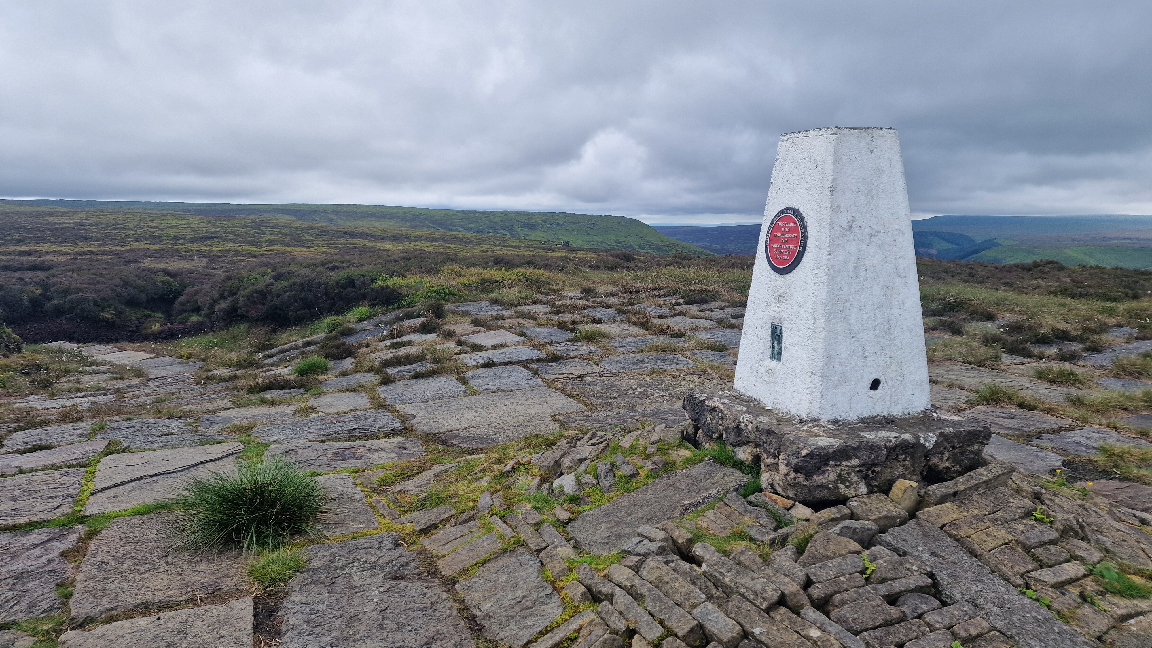
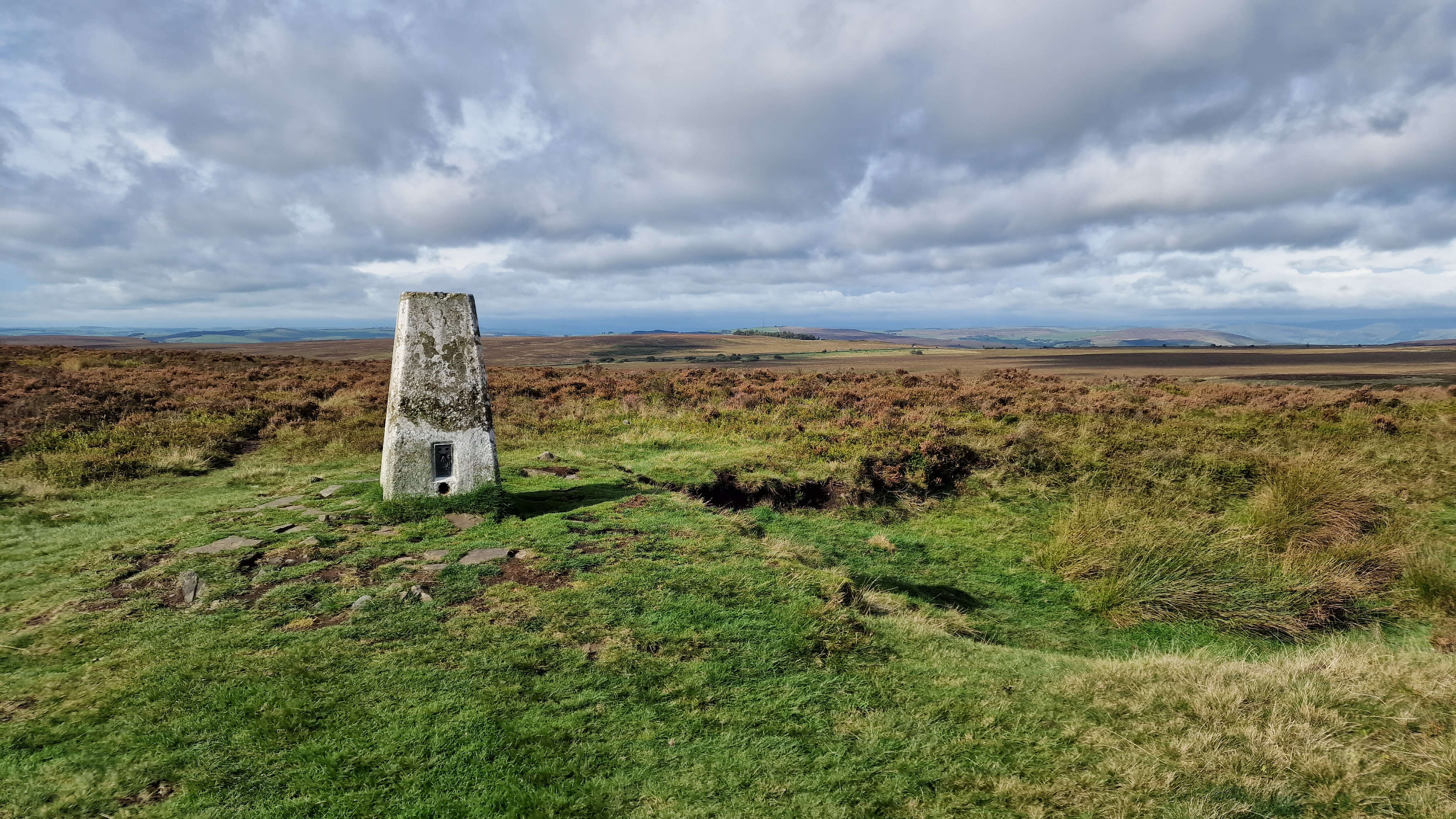
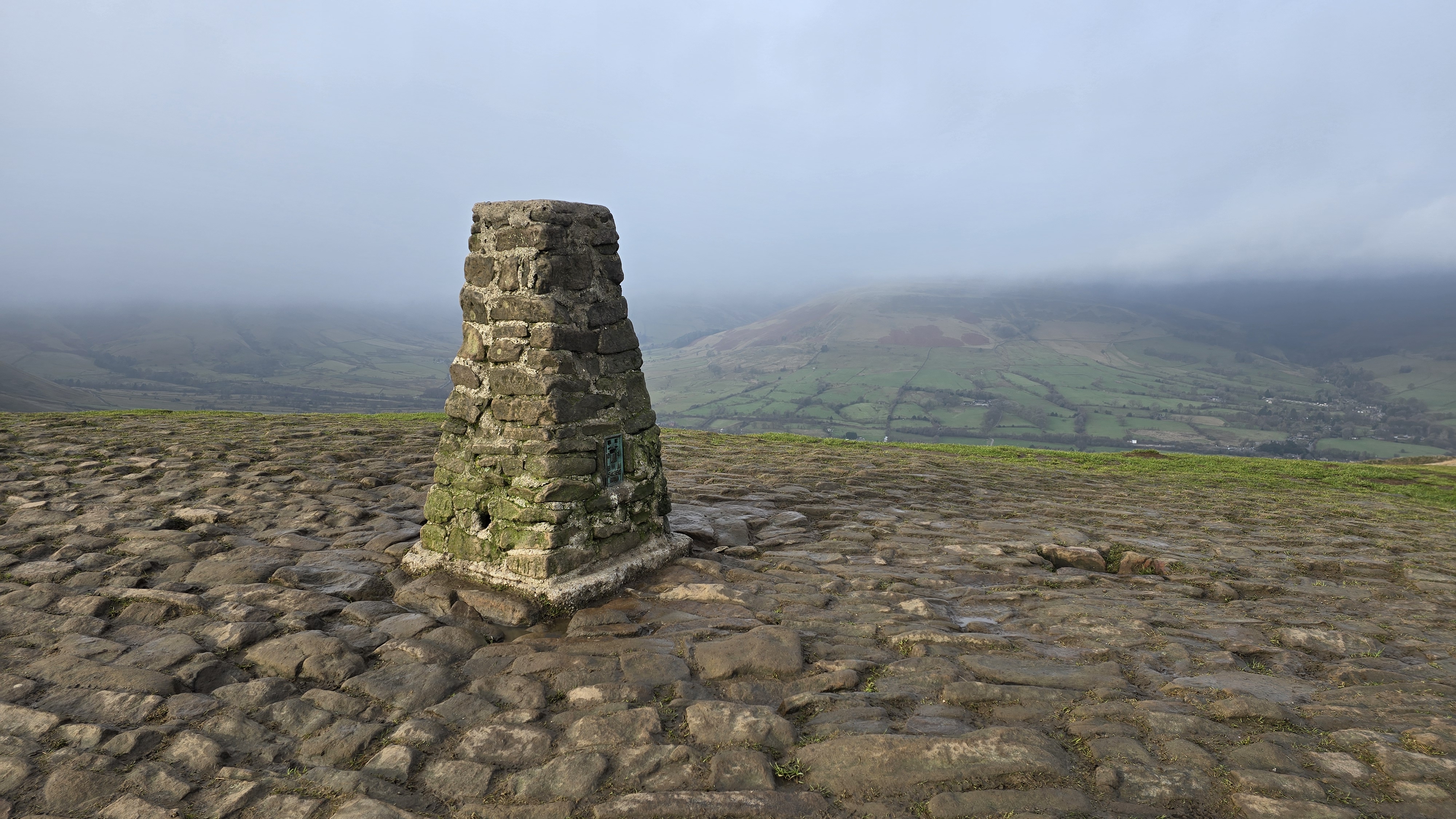
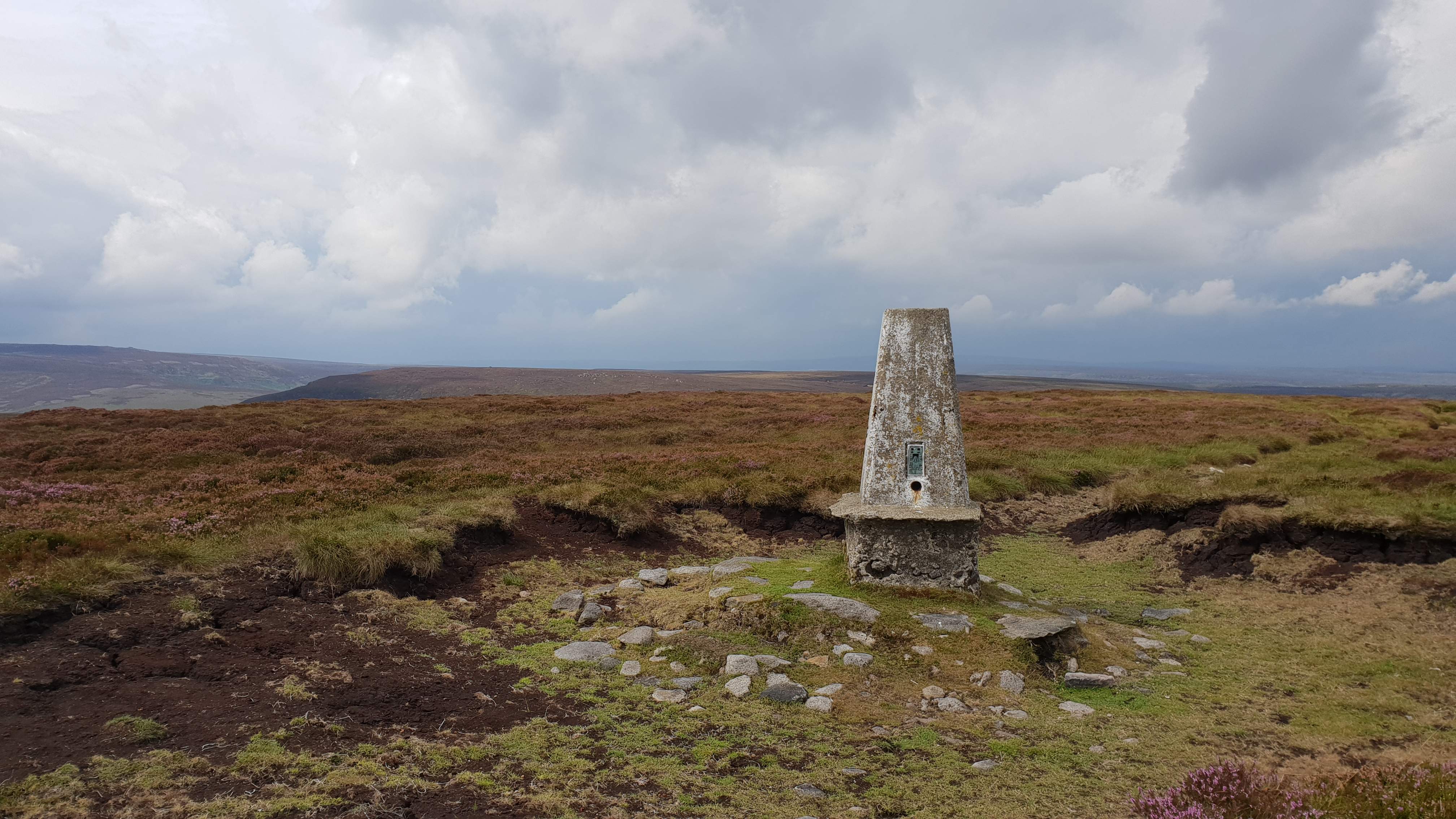
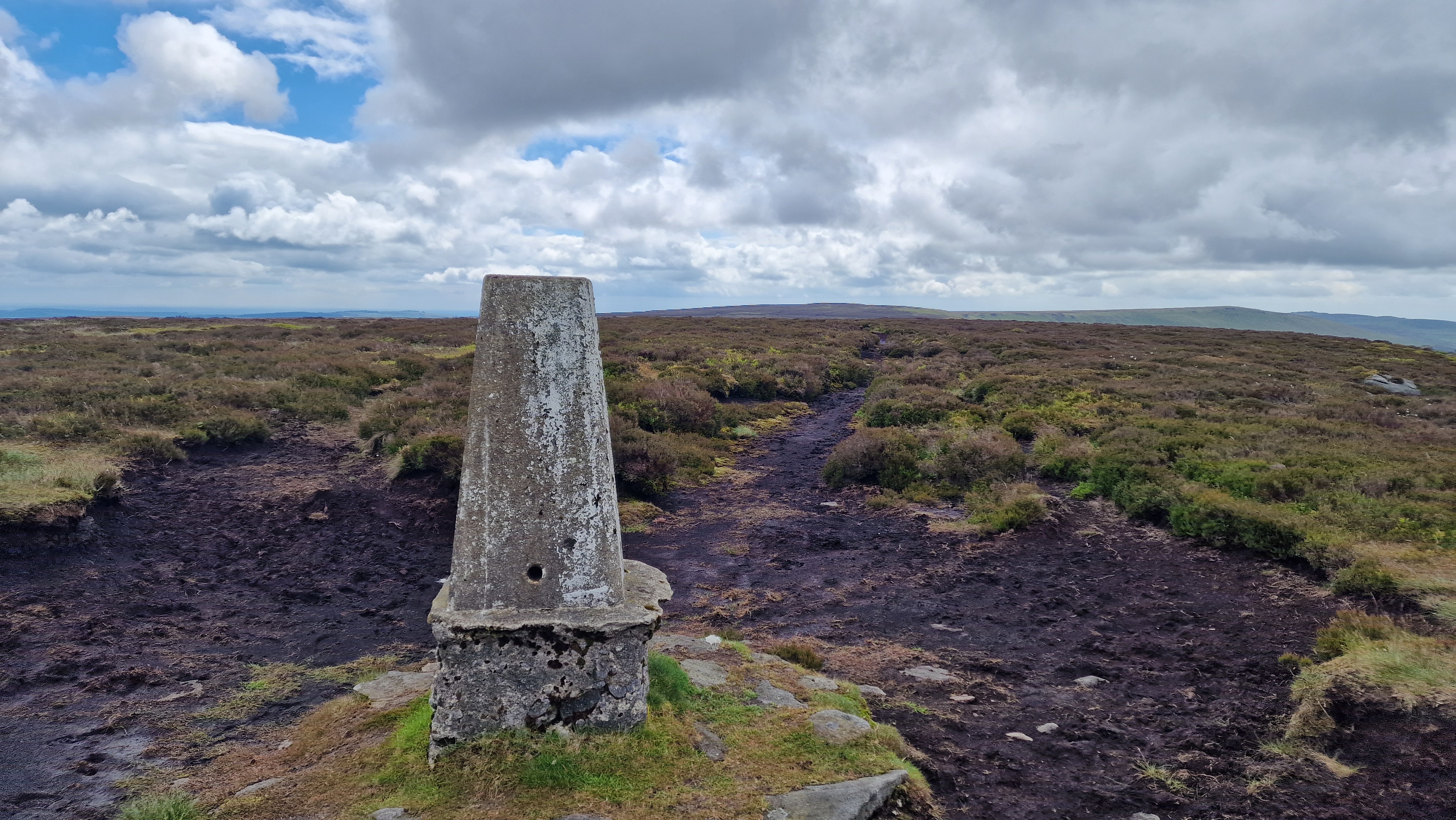
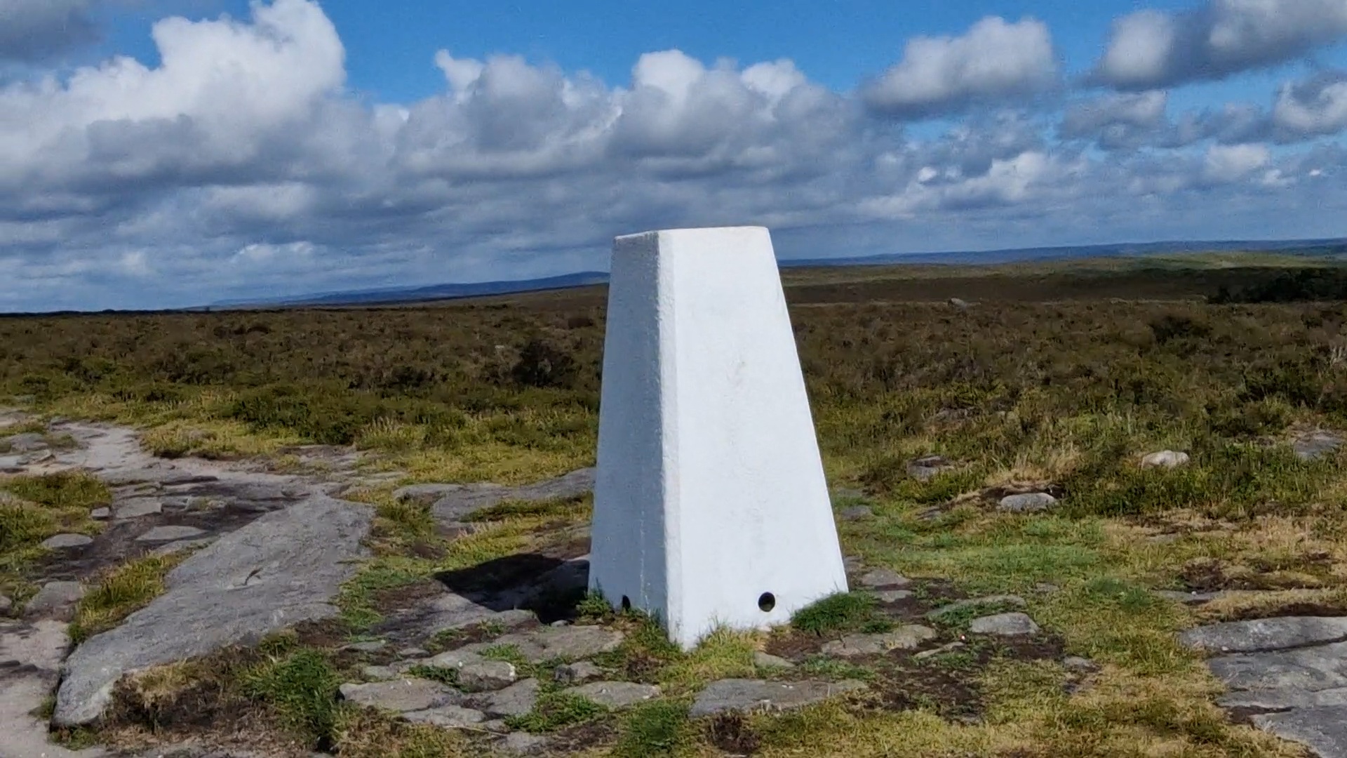
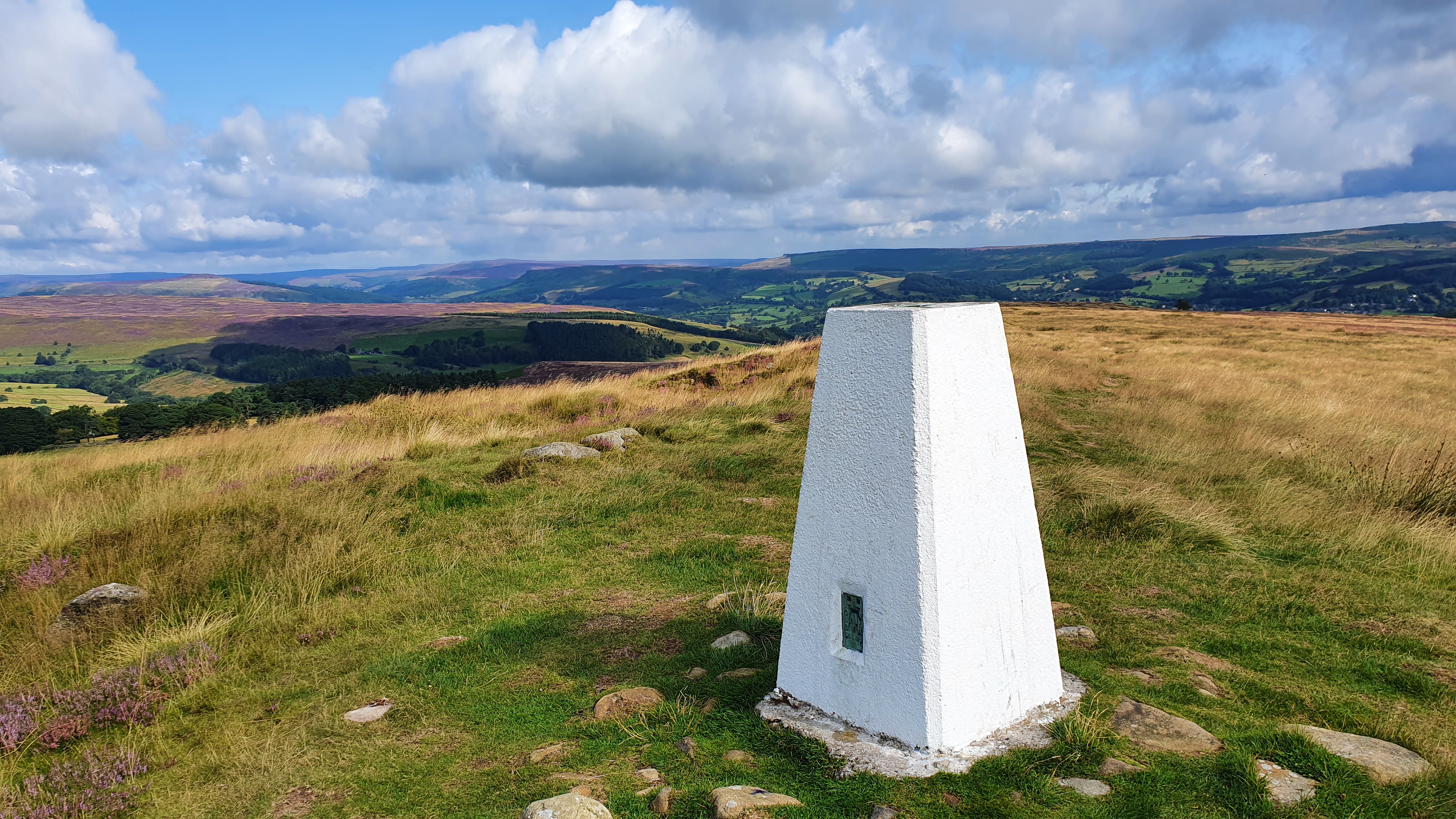
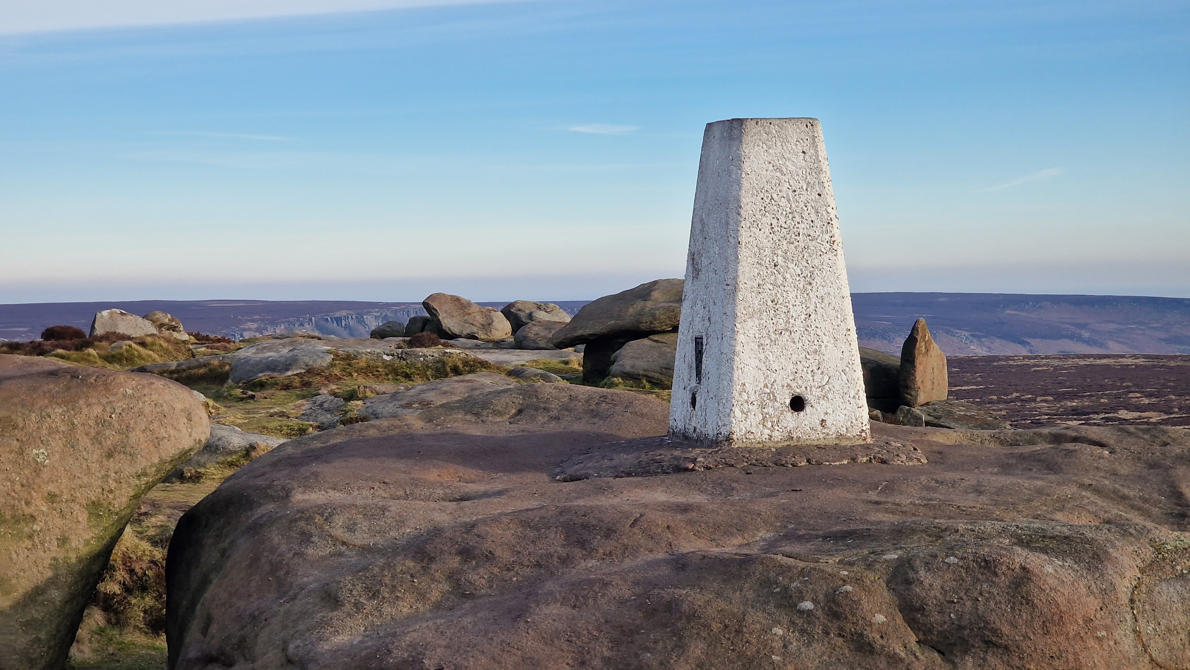
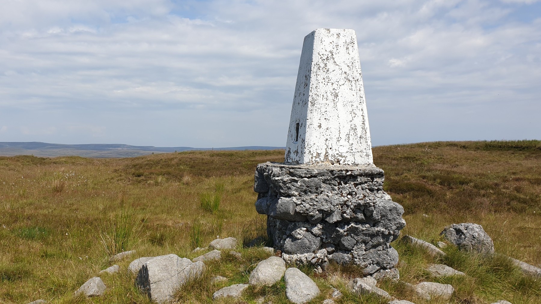
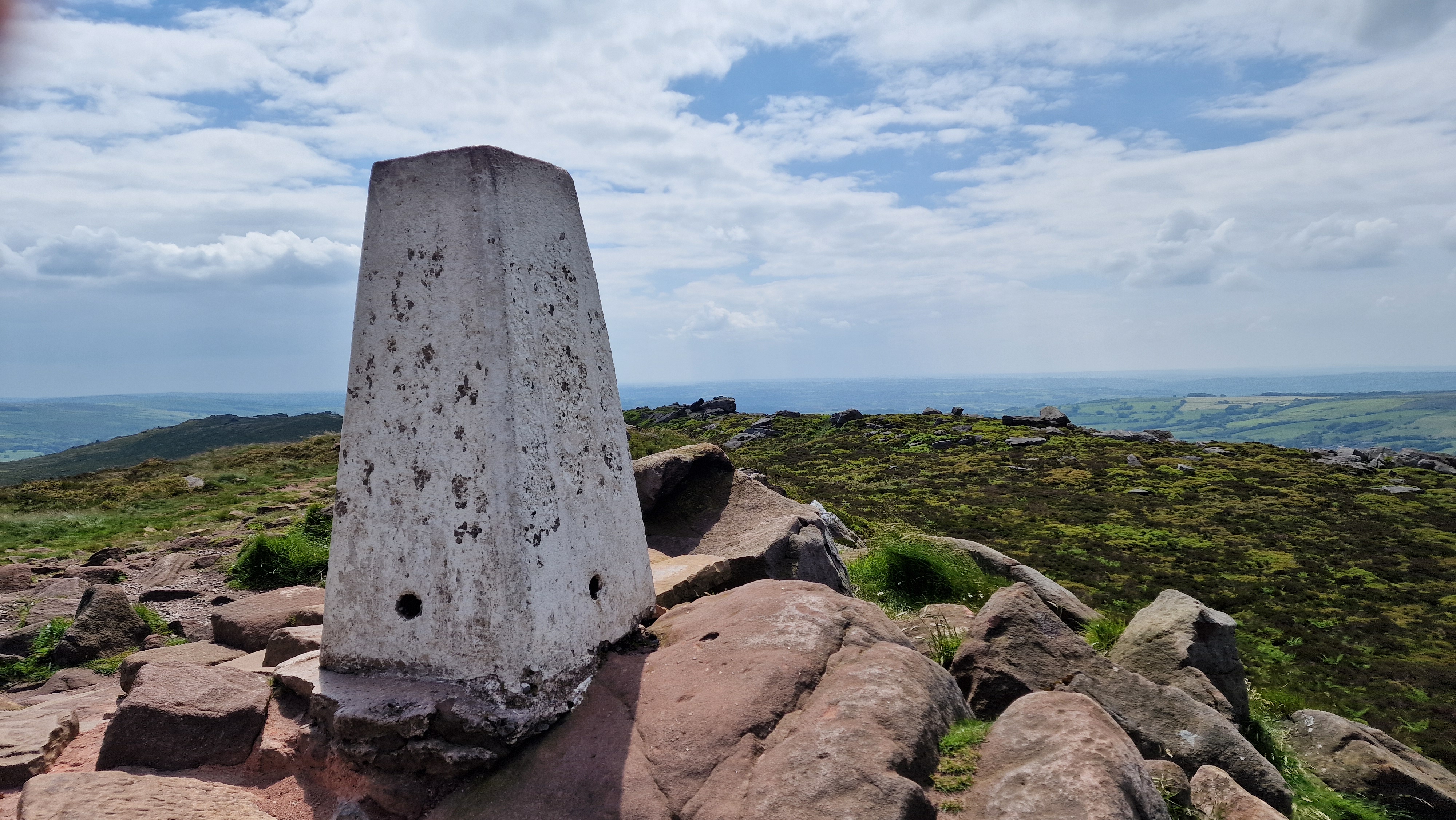
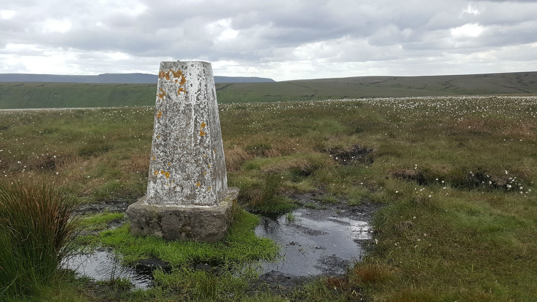
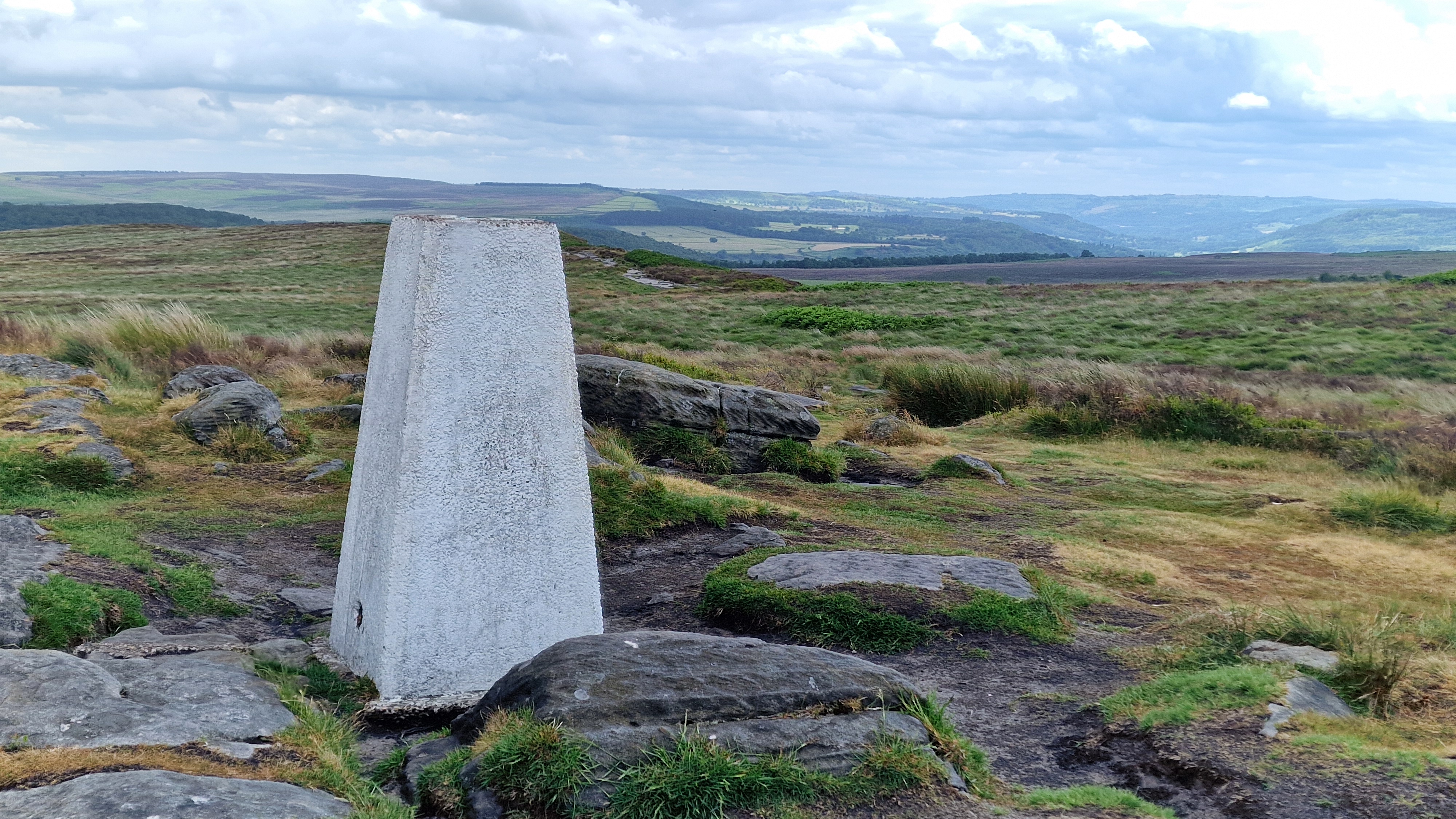
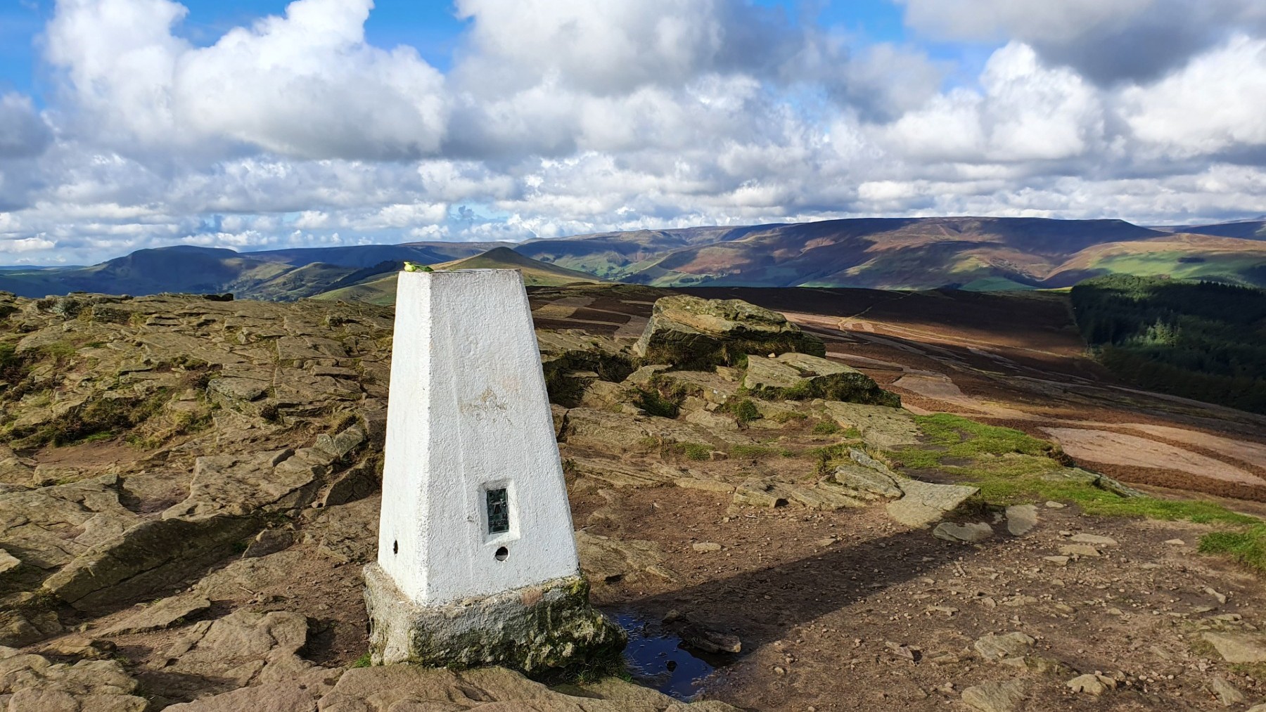
A trig point marks the summit of a hill - well not always. These 1m high pillar of concrete painted white adorn our mountain and moorland environment. They were used for mapping and were key to the production of the Ordnance Survey maps we all love. By placing theodolites onto these trig points the angles to other trig points and key features could be measured. From this an accurate map can be made. These days the mapping is done via satellite and aerial photography making the trig points redundant. But the trig point still exist. Many trig points have been officially adopted by an individual or organisations and regularly visited and maintained - mainly a new coat of white paint.
There are 88 trig points within the boundary of the Peak District National Park. Whilst some are on top of the hills of the Peak District, others are on other prominent points. For the Peak District walker, one thing that can be guaranteed (on a good day) is that there will be a good view from the trig point after all this is why they were originally placed. A number of people see this list of 88 trig points as as a traget - let's try to visit all 88 trig points.
About gritsoneedge.co.uk:
This site includes many walking routes over the Peak District including the Eastern Edges, Kinder and Bleaklow. There are some great days to be had when walking in this area in all seasons. Safe to say we have experienced some really terific conditions as well as some wild days. Each provides an experience not to be missed.
The aim of this site is to provide a "modern" guidebook, a mobile phone friendly online guide. View this site on your mobile phone. Take this with you when walking and you will be able to follow the routes. However do not rely on this; mobile phone reception is not ubiquitous throughout the Peaks. Make sure you take a map and compass and the ability to us them as well.


Disclaimer :This site has links to many adventures in the outdoors, walking or cycling in hills and moors, within the UK. These can be dangerous activities. Conditions can change rapidly in the outdoors. The information and links provided on this site is given in good faith. gritstoneedge.co.uk cannot be held responsible for any loss or injury caused by encouraging you into the outdoors of by the accuracy of the information provided on this site.
© gritstoneedge.co.uk all rights reserved 2015-2026