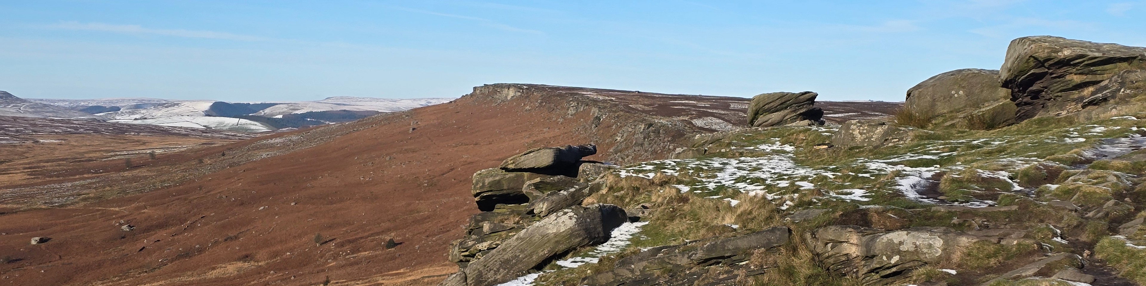
| Start : | Grouse Inn Parking by the Grouse Inn.[SK258779 300m ] |
| Summary : | Roadside by Grouse Inn - Froggatt Edge - Curbar Edge - Baslow Edge - Wellington Monument - White Edge - White Edge Lodge - Roadside by Grouse Inn. |
| distance : | 13.5km. |
| ascent : | 240m. |
| time : | 4hr. 30min. |
A walk of contrasts. Froggatt, Curbar and Baslow are typical Gritstone Edges, with cliffs some 20m high over a length of 2-3 kms. In contrast White Edge is set in more bleak and open moorland with less impressive rocks but a fantastic moorland experience. With this contrast this is one of the best walks in the Peak District. Throughout there are great views over a large part of the central and north of the Peak District, and especially the White Peak over to the west. The three lower edges are often busy but White edge is different, it is more rugged and often much less busy.
Hathersage
Current Weather
Last Updated today at : 00:00:56
| Overall : | overcast clouds |
| Temperature : | 17degC. |
| Wind Speed : | 12km/hr. |
| Wind Direction : | ENE |
| Clouds : | overcast clouds |
| Precipitation : | none |
| Sunrise : | 04:27:36 |
| Sunset : | 19:57:48 |
| : | Times are GMT add 1 hour for BST |
Data from openweathermap.org
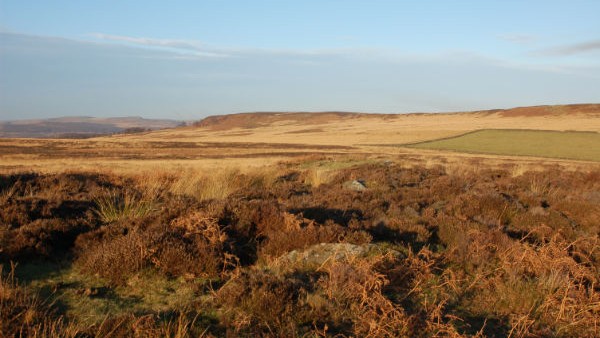
White Edge from the path.
©gritstoneedge.co.uk
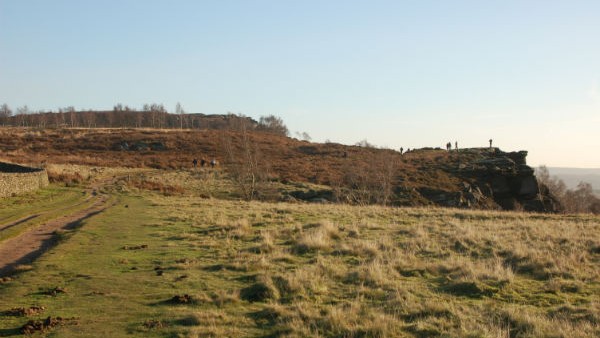
Top of Froggatt Edge.
©gritstoneedge.co.uk>
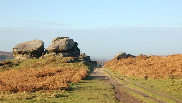
Boulders along the path on Froggatt summit path.
©gritstoneedge.co.uk
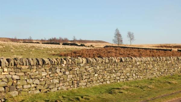
Towards White Edge.
©gritstoneedge.co.uk
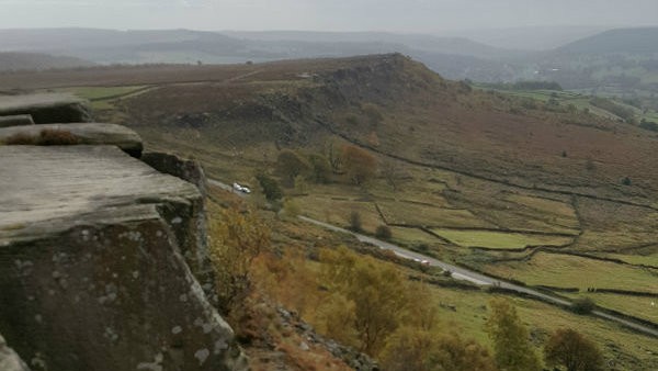
South from Curbar Edge.
©gritstoneedge.co.uk
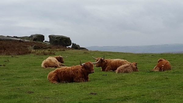
Some company along the way.
©gritstoneedge.co.uk
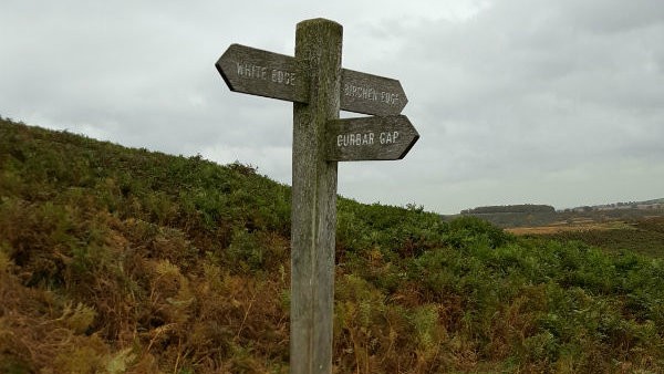
Signposting the way down to the Grouse Inn.
©gritstoneedge.co.uk
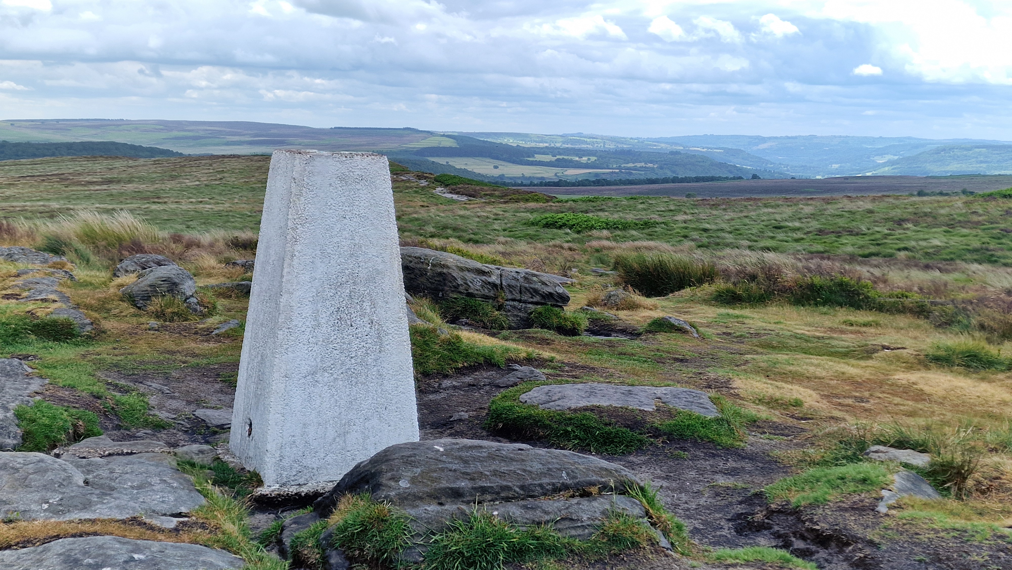
Trig point on White Edge.
©gritstoneedge.co.uk
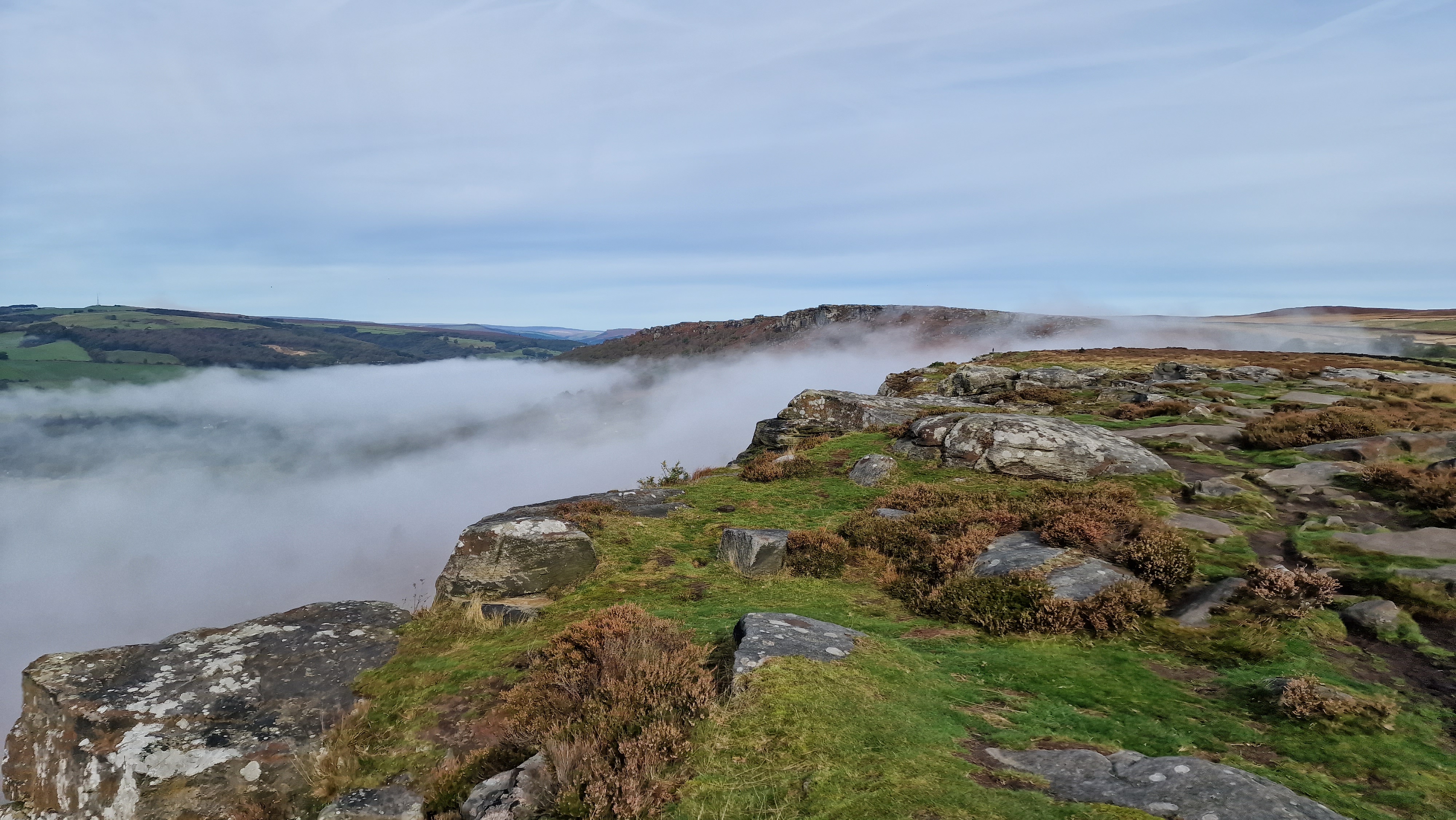
Looking back to Curpar Edge.
©gritstoneedge.co.uk
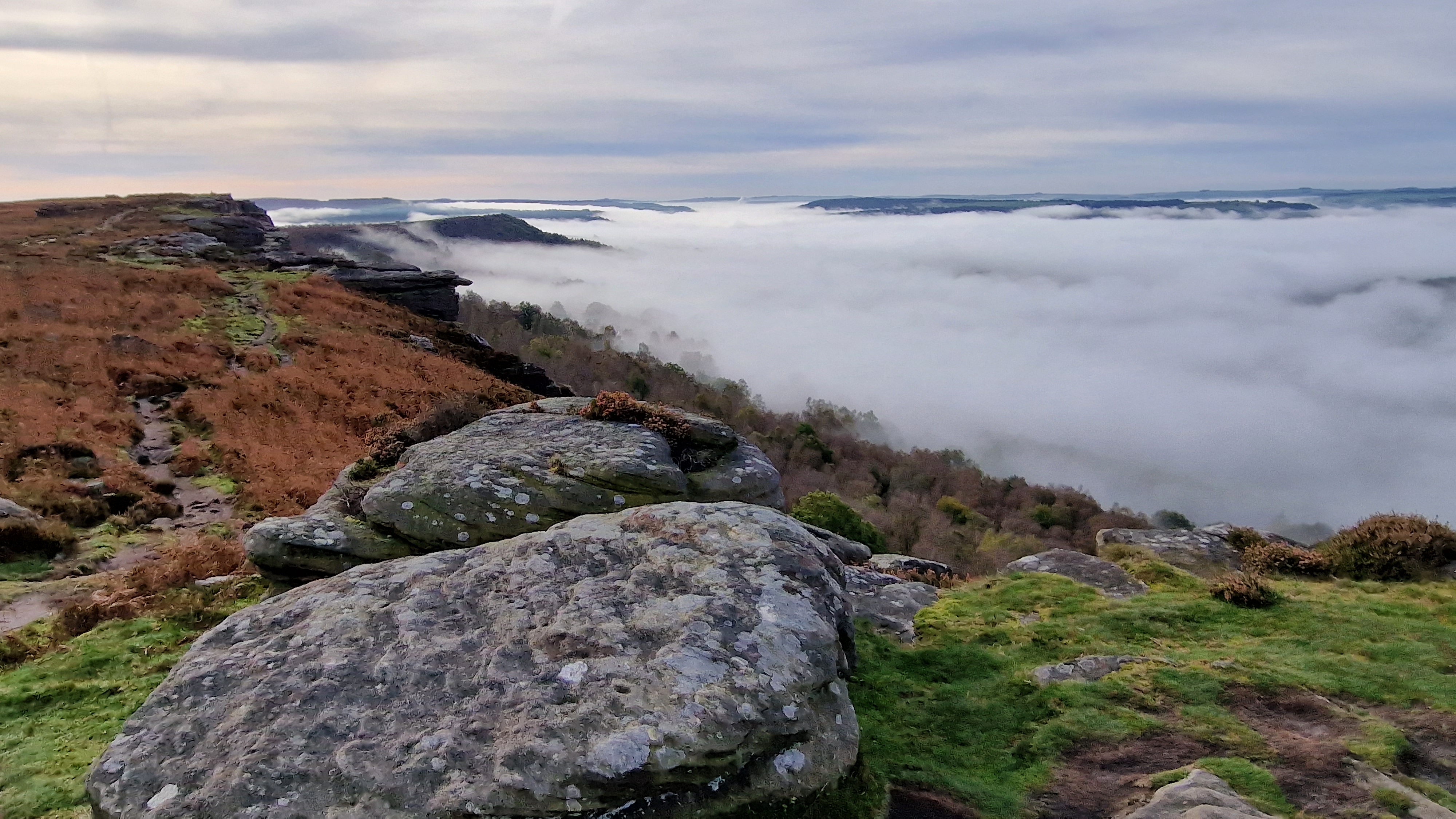
Looking down the valley past Curbar Edge.
©gritstoneedge.co.uk
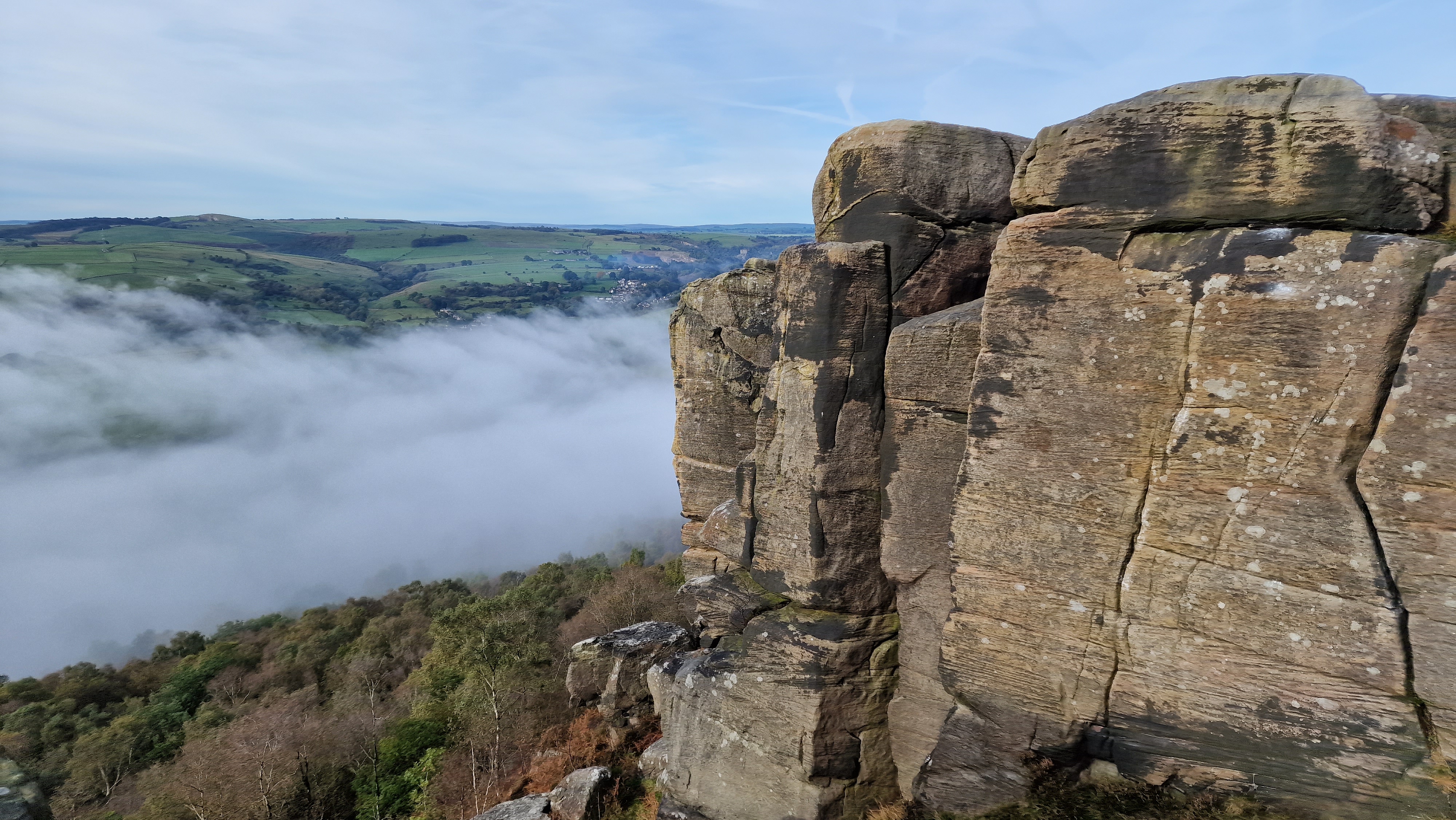
Froggatt End.
©gritstoneedge.co.uk
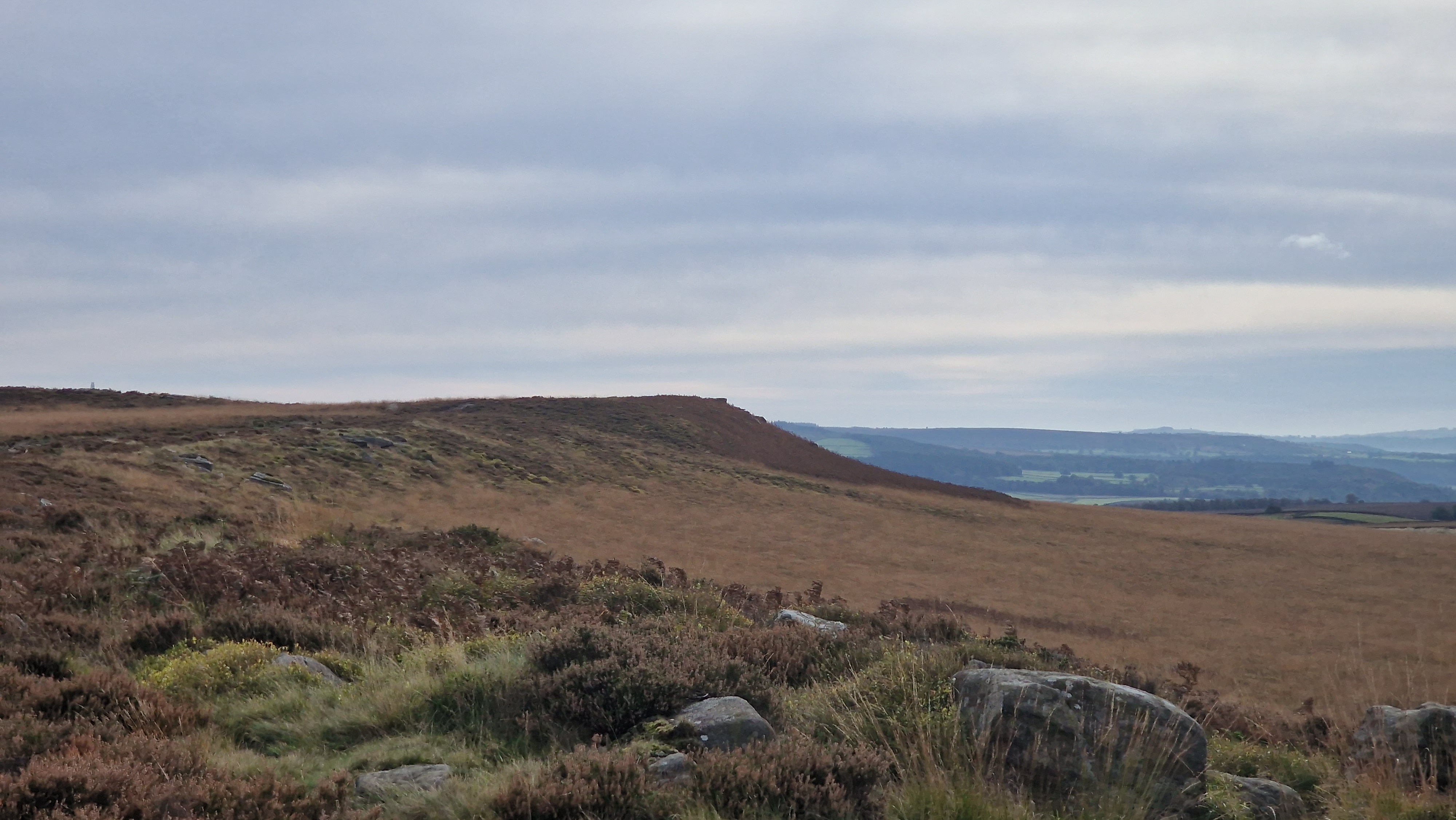
Looking back to White Edge.
©gritstoneedge.co.uk
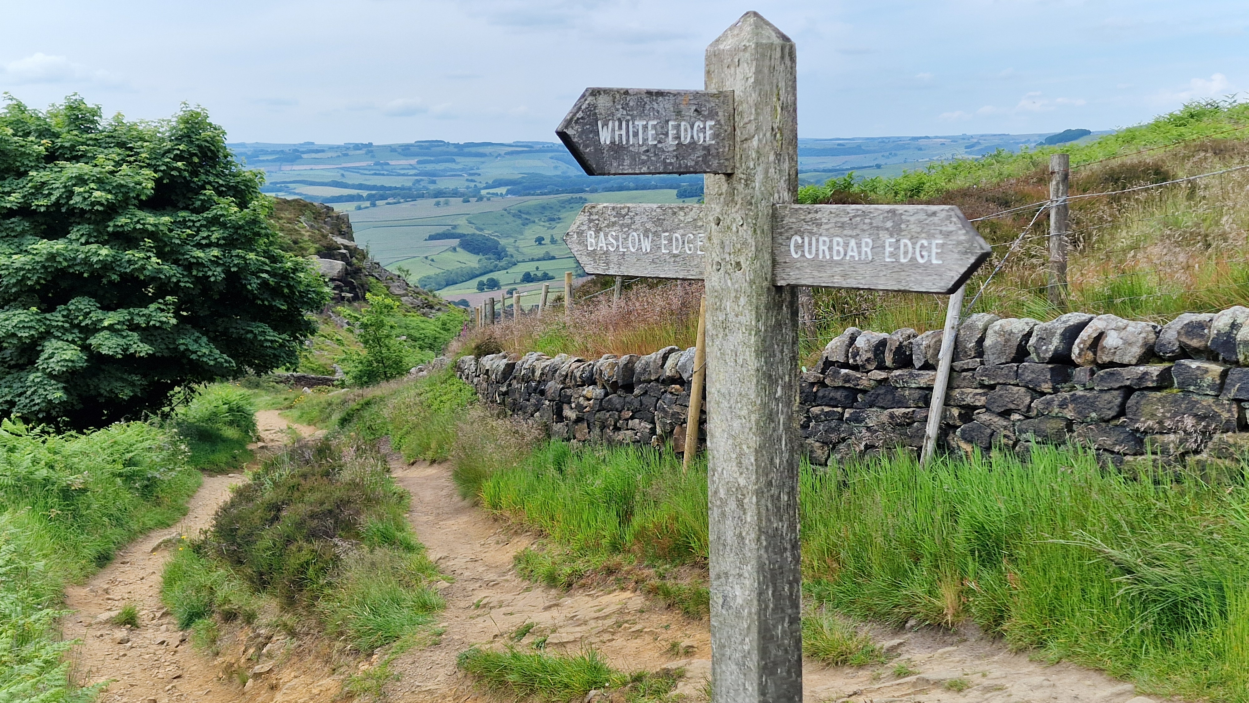
Signpost at Curbar Gap.
©gritstoneedge.co.uk
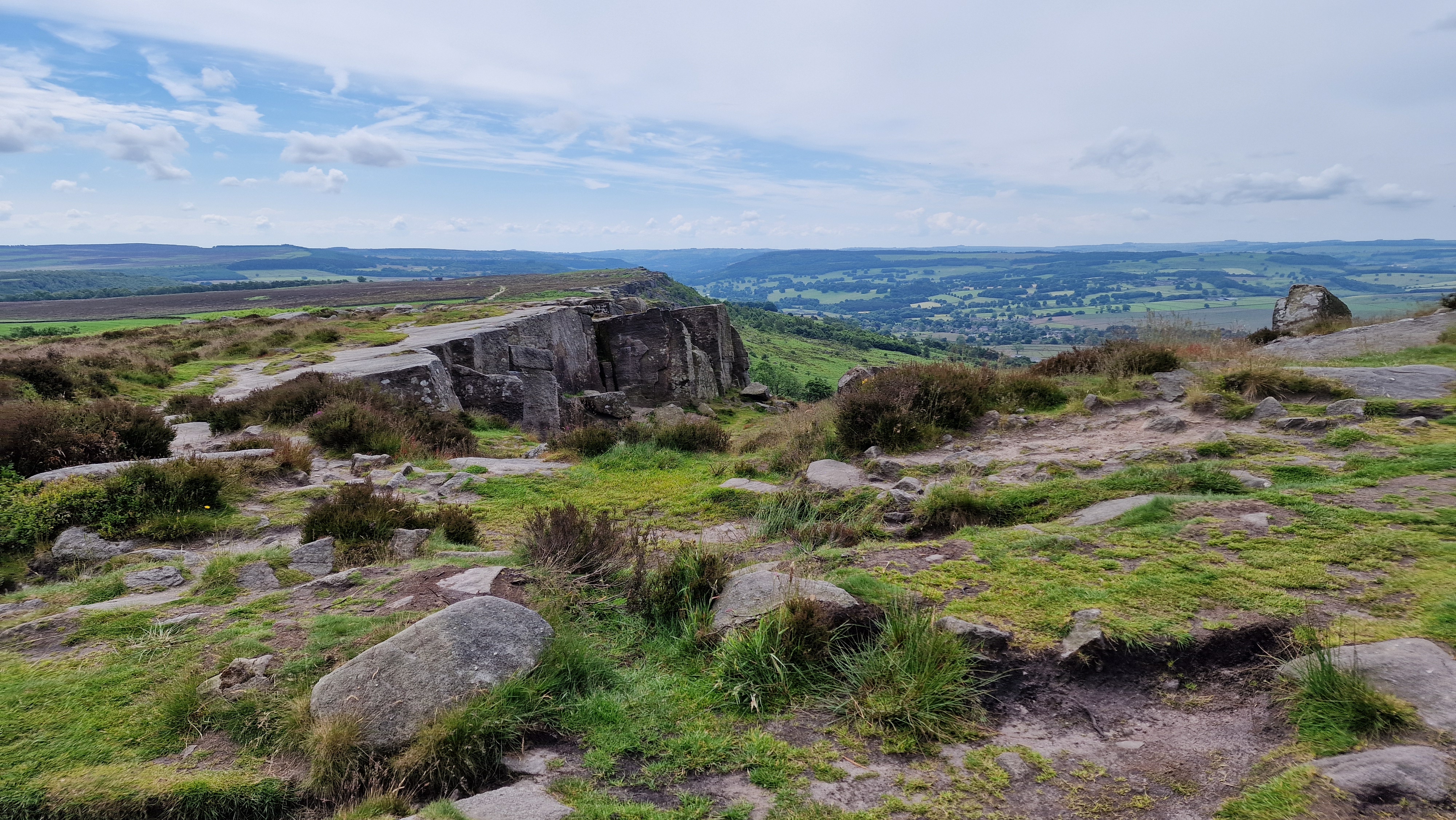
Walking along Curbar Edge.
©gritstoneedge.co.uk
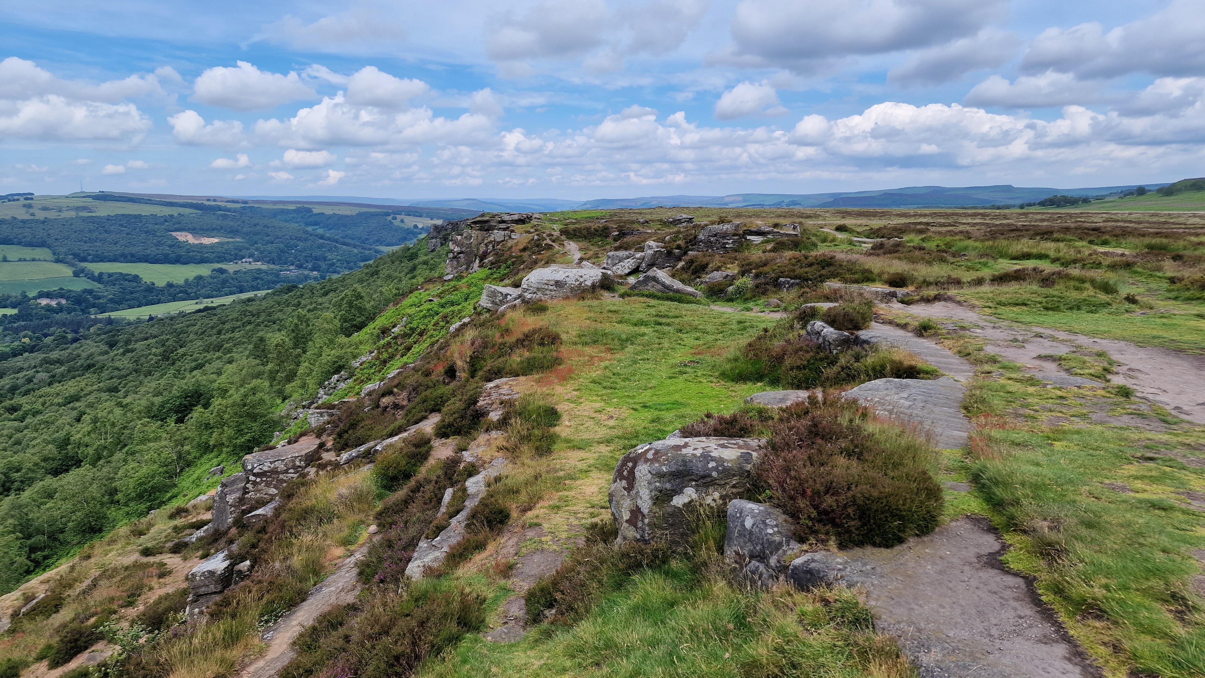
Walking along Froggatt Edge.
©gritstoneedge.co.uk
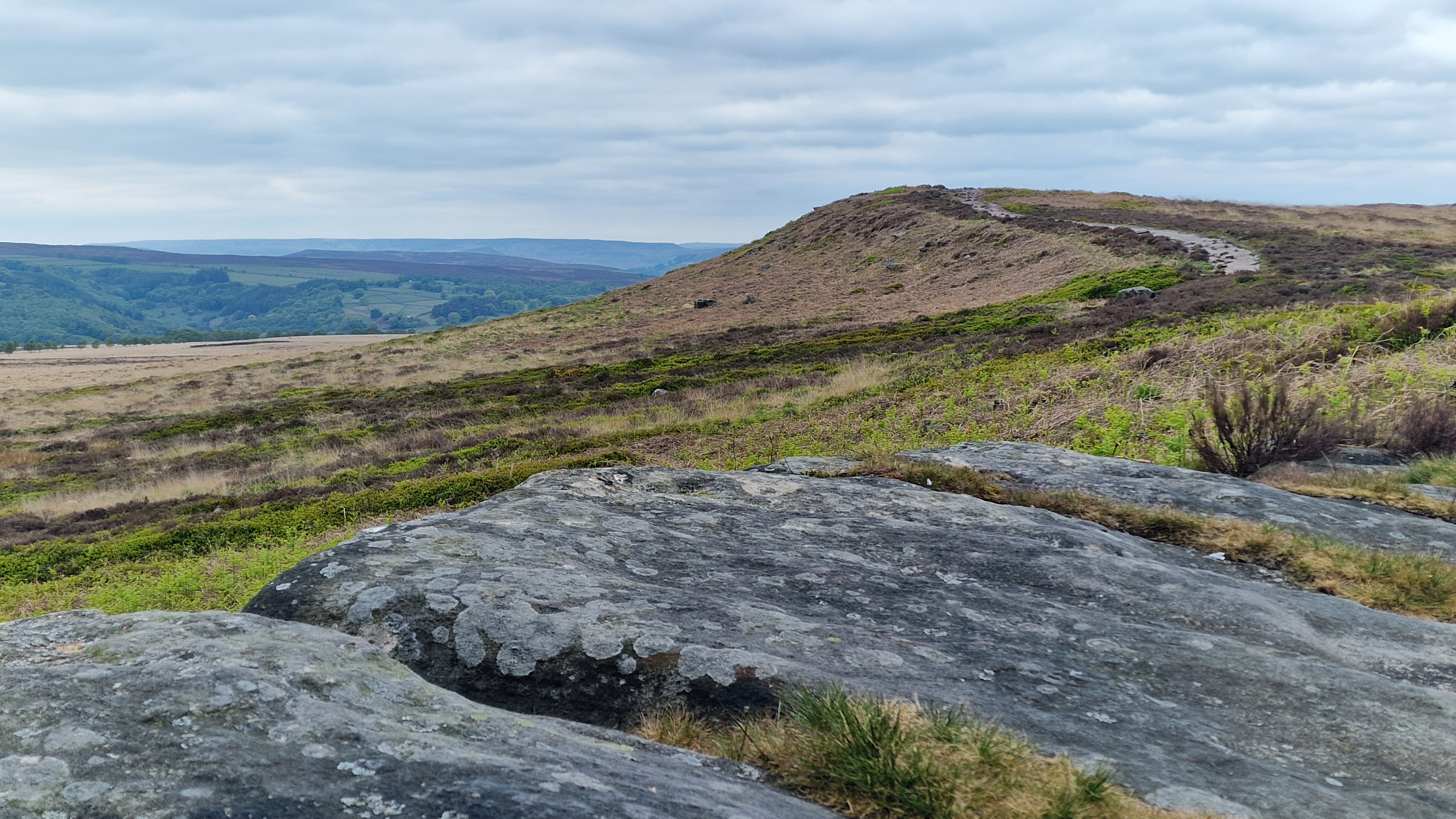
Approaching White Edge.
©gritstoneedge.co.uk
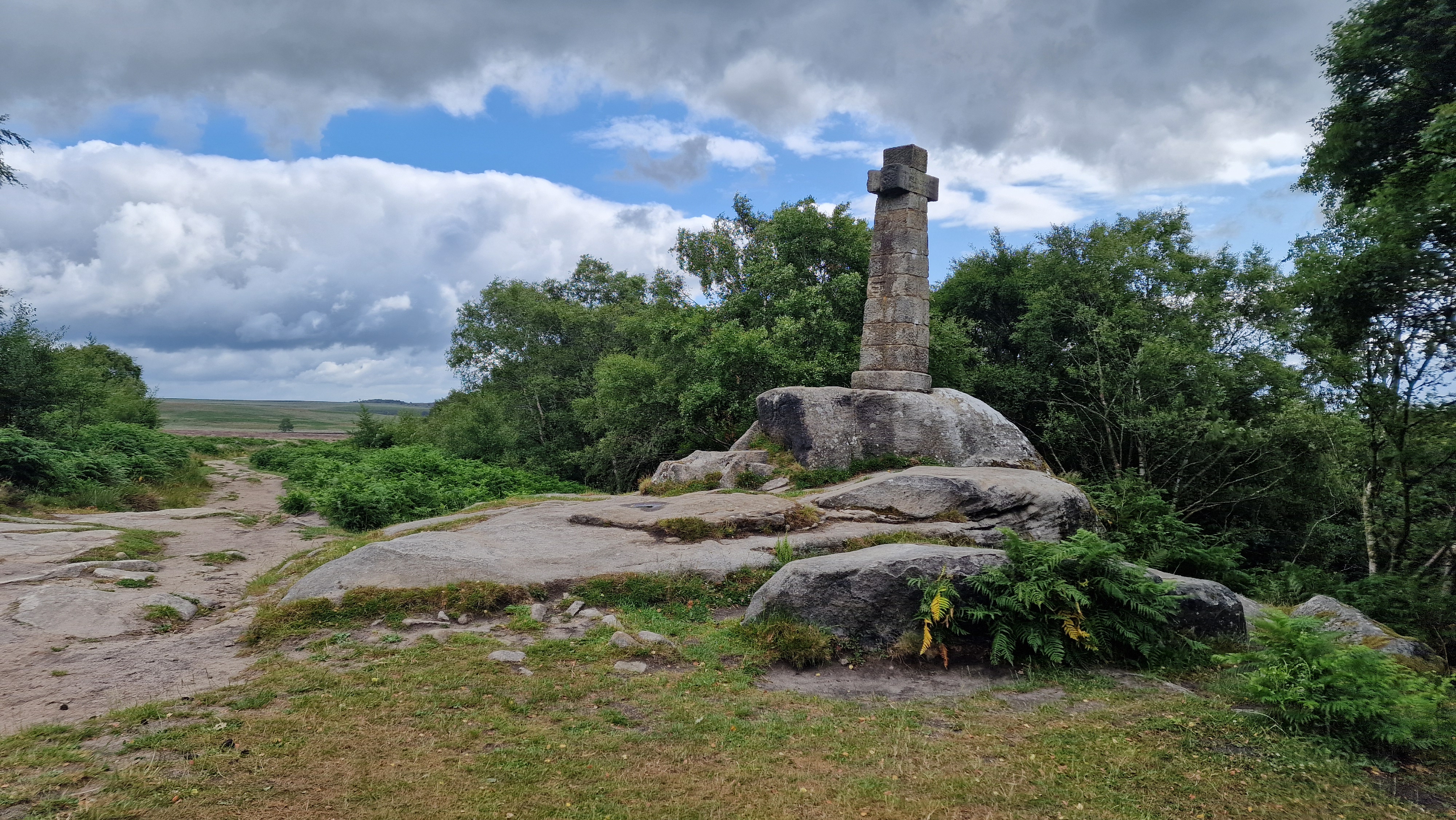
Wellingtons Monument on Baslow Edge.
©gritstoneedge.co.uk
From the roadside parking, follow the footpath by the Grouse Inn over the fields to reach the woodland. Then follow the path past the NT car park to reach the stream that is crossed via the stepping stones. Climb up to the A625 road. After crossing the road, safely, go through the white gate onto the main path at the top of Froggatt Edge. This goes through a wood before opening out with a great view down the Derwent valley. There is a good path all the way along the top of the edge. The walker does not get to see the best of the crags from this path but the views over to central peak district are in some way compensation. At the end of Froggatt Edge there is a clear break defined by a high wall of rock. It is worth walking to the bottom of Froggatt Edge here to get some idea of the size and extent of the crags. If you do this, return to the top of the edge. (1.5kms. 40m. 0hrs. 40min.)
Continue along the path that climbs to the top of Curbar Edge. Then the path goes along Curbar Edge, some 50m from the edge, to the road at Curbar Edge. It is also possible to follow a smaller path along the crest of the edge. Always in view south is the distinctive Wellington's monument at the end of Baslow Edge. From Curbar Gap it is possible to follow the path directly up to White edge, completely missing Baslow Edge. Don't do this but continue along to Baslow Edge towards Wellington's Monument. Cross the road at Curbar Gap, go through the gate and follow the path along Baslow Edge until the monument is reached. Again the main path is some 50m east of the edge with a much thinner path along the top of the edge. On the way to the monument the route passes an interesting and impressive erratic, Eagle Rock. These days Wellington's monument has many trees growing around it obscuring some of the view, especially the view of Birchen and Gardom's Edges. (5.0kms. 60m. 1hrs. 40min.)
From the monument follow the significant track, east, to the minor road. Often a herd of highland cows can be seen grazing in this area. Cross the road and onto the fields opposite. There is a path from the road that crosses the rough ground before climbing up to the ridge of White Edge. This path is now followed along White Edge. It is worth the small diversion right to reach the trig point of White Edge. From here you can see the large moor to the east, Big Moor, home to a herd of Red Deer. White Edge gives a feeling of the high moor, a feeling of remoteness and in poor weather it is a much bleaker than the lower edges. (3.5kms. 100m. 1hrs. 20min.)
The trig point is not the true summit of White Edge. According to the latest OS map, the true top is point 366 (or 367 on the 1:50000 map!) some 500m north. Follow the along the path until opposite the high point and then walk over the heather and bilberry plants to reach the high point, perhaps using your phone to ensure you are really at the high point as marked. Look around and yes there is a mound maybe 100m away that is definitely higher! It is obvious that not many people visit this true summit. Walk back to the main path and follow it north along White Edge. At a wall, a significant signpost shows the way back to the Grouse Inn. This leads over a very wet and boggy field, best avoided. Keep walking north over White Edge Moor, to the small wood. Just short of the wood is a fence with a gate and through this gate there is a path that leads to White Edge Loge. Follow this path. Then follow the track that descends to the road. Take care here as the path on the ground does not match the path marked on the map. Once at the road, walk along the path on the side of the road a short distance to reach the Grouse Inn. (3.5kms. 40m. 1hrs. 10min.)
About gritsoneedge.co.uk:
This site includes many walking routes over the Peak District including the Eastern Edges, Kinder and Bleaklow. There are some great days to be had when walking in this area in all seasons. Safe to say we have experienced some really terific conditions as well as some wild days. Each provides an experience not to be missed.
The aim of this site is to provide a "modern" guidebook, a mobile phone friendly online guide. View this site on your mobile phone. Take this with you when walking and you will be able to follow the routes. However do not rely on this; mobile phone reception is not ubiquitous throughout the Peaks. Make sure you take a map and compass and the ability to us them as well.





Disclaimer :This site has links to many adventures in the outdoors, walking or cycling in hills and moors, within the UK. These can be dangerous activities. Conditions can change rapidly in the outdoors. The information and links provided on this site is given in good faith. gritstoneedge.co.uk cannot be held responsible for any loss or injury caused by encouraging you into the outdoors of by the accuracy of the information provided on this site.
© gritstoneedge.co.uk all rights reserved 2015-2026