From Kings Tree, go through the gate and follow the path to Slippery Slopes.
Cross the River Derwent via the Pack Horse Bridge.
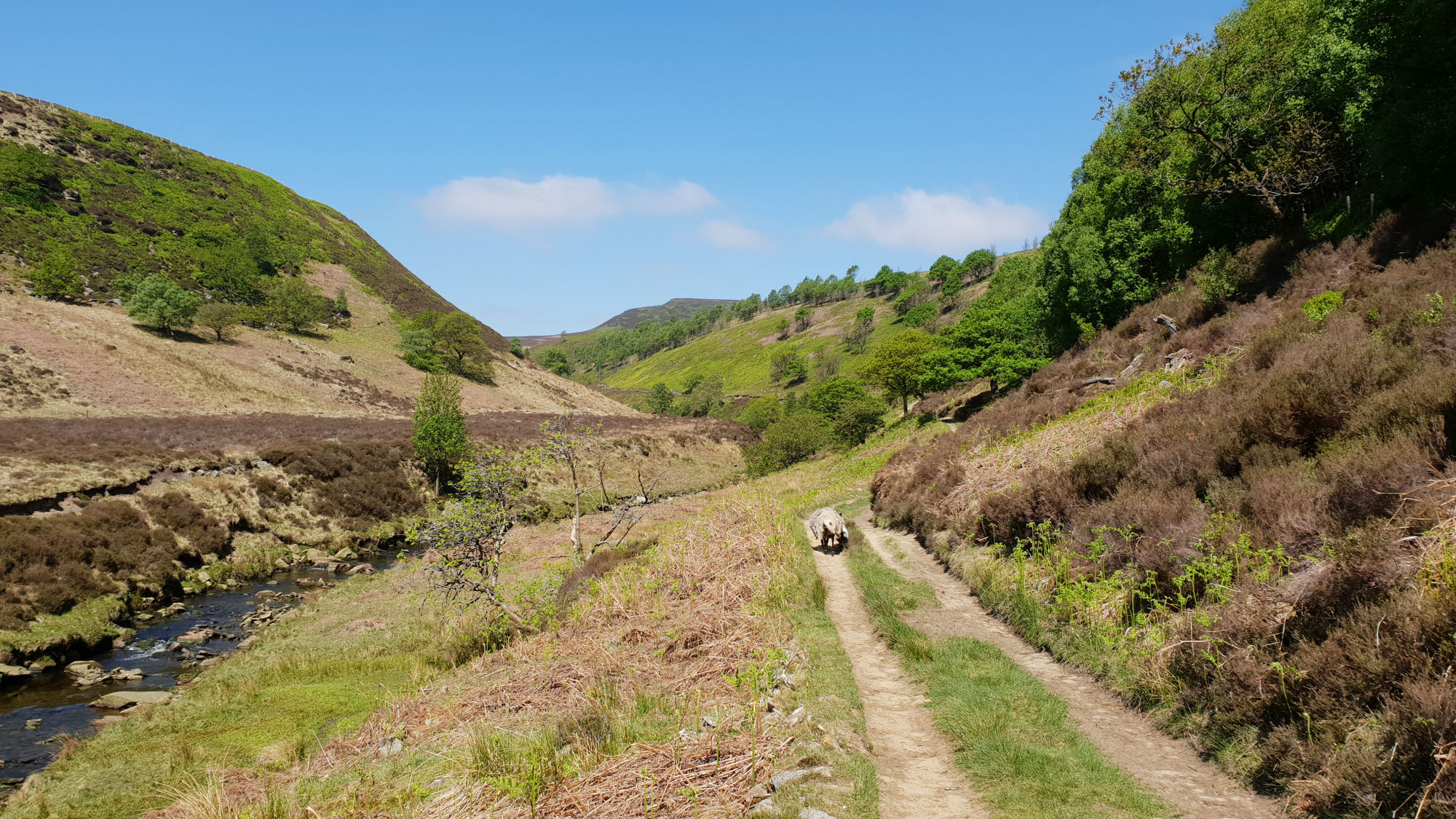
From here the route follows the track along the Upper Derwent Valley.
Just past Stannery Clough the track becomes a path but still follow this onto
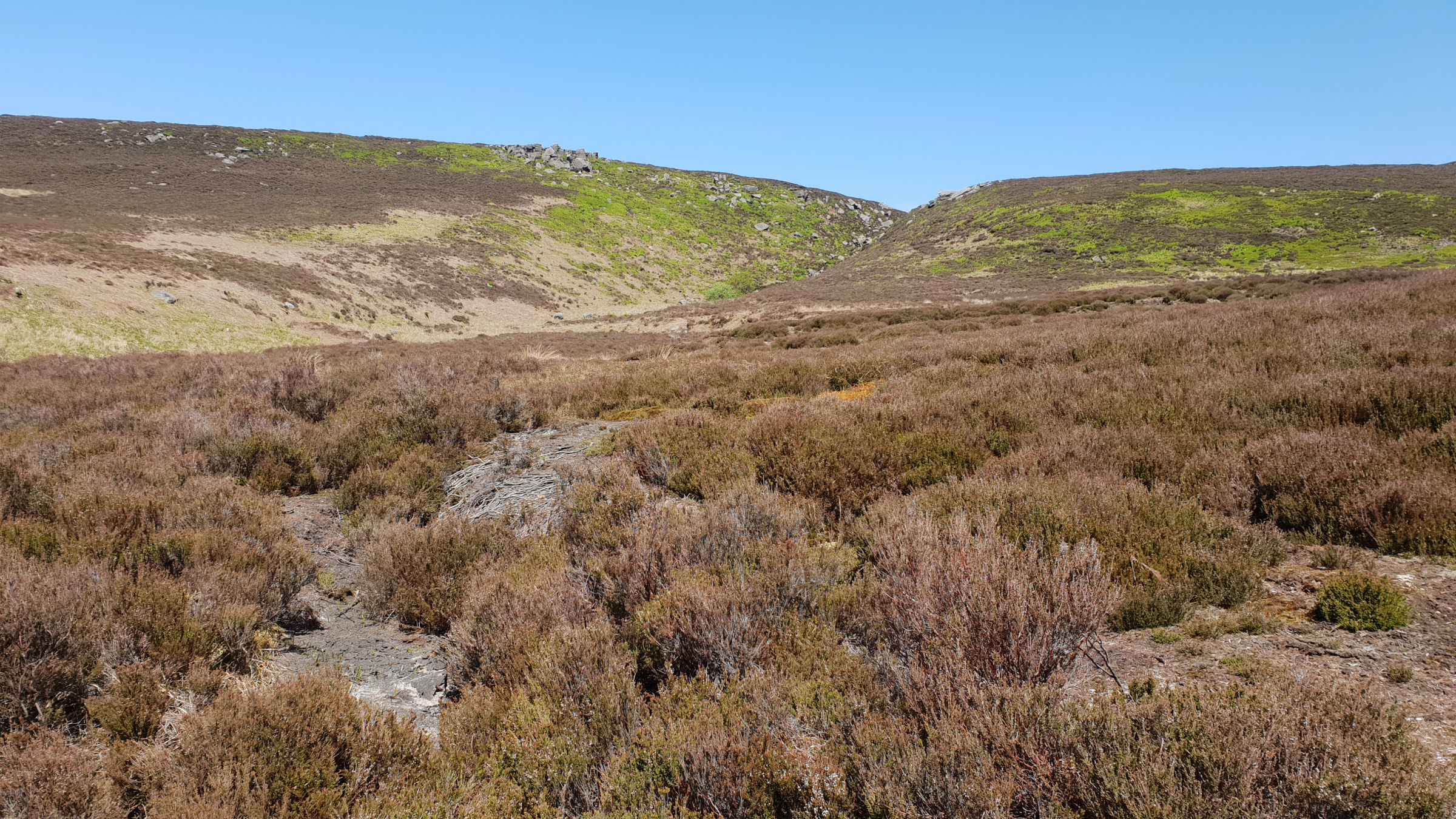
Hoar Clough. Follow the path up Hoar Clough, up the true left bank towards the ridge.
Shepherds Meeting Point is an interesting set of rocks seen on the opposite bank on the
ascent. As the clough flattens out the path crosses the river and makes for the ridge.
Once in the flatter ground the route goes over to Featherbed Moss.
There are a number of paths over the moor, some wetter and more difficult due to the
groughs than others. The best way is to follow the public footpath as seen on the OS
map. On the way a short detour to Dean Head Rocks may be in order.
(6.0kms. 210m. 2hrs. 10min.)
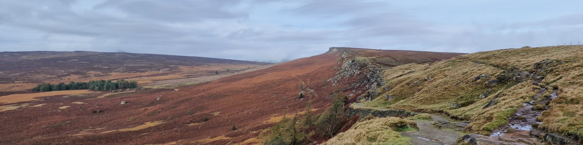
Once at the boundary ridge turn right / east and make your way along the ridge.
This is a remote part of the Peak District but the most striking part of the view is
over to the Woodhead Pass and towards Barnsley. Looking over to the Woodhead Pass it
is clear why this suffers from snow closures in winter.
The ridge over Howden Edge is often wet. However there
has been a lot of conservation work taking place in an attempt to reduce the erosion
in the area. The results have been positive and the area is not as wet as it has been
in the past. The route keeps as much as possible to the boundary line, the high ground
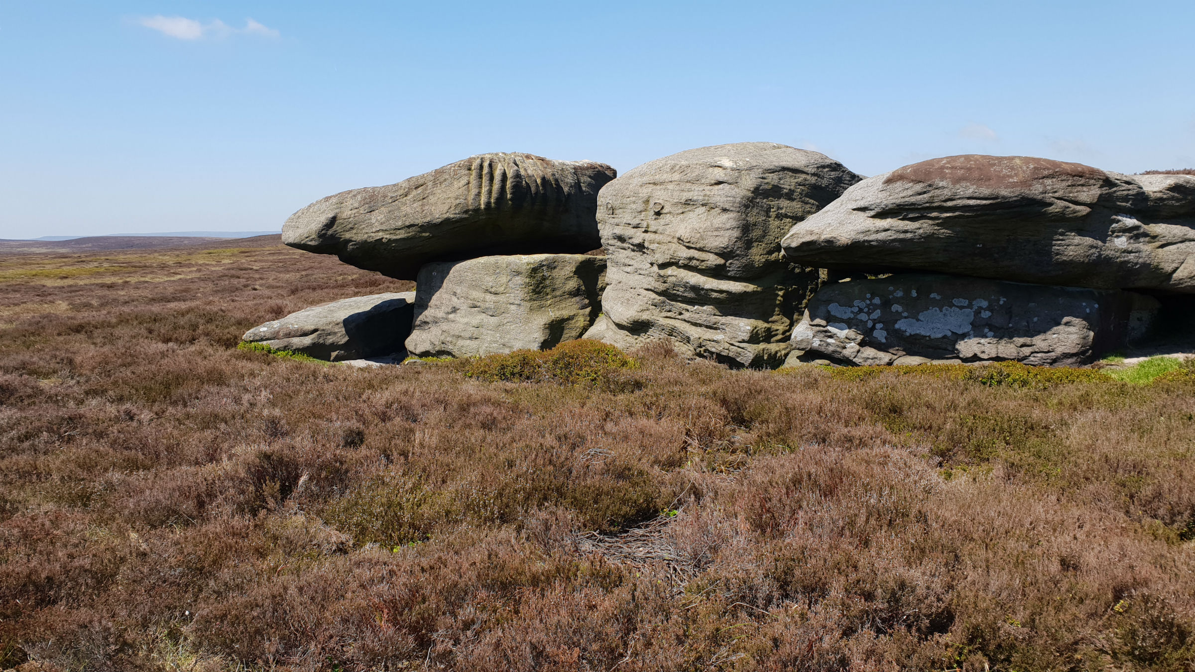
over to Howden Edge. Hoar Stones are set just below the ridge and worth a visit on
the way. A detour to Hoar Stones should be from the ridge and back, any contemplation
of cutting corners here will end in large groughs. Continue along Howden Edge to the high point at
514m.
(1.5kms. 20m. 0hrs. 30min.)
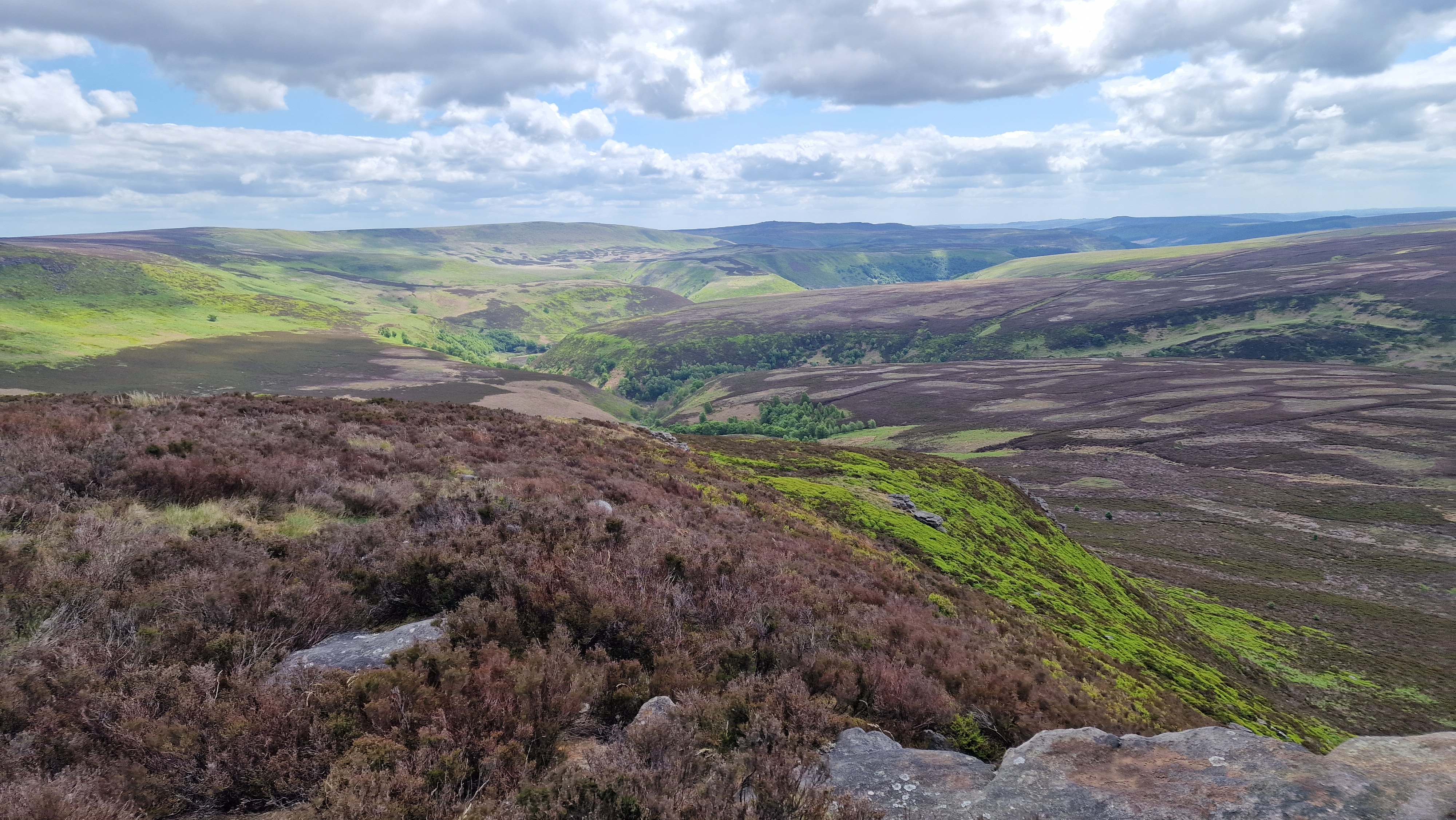
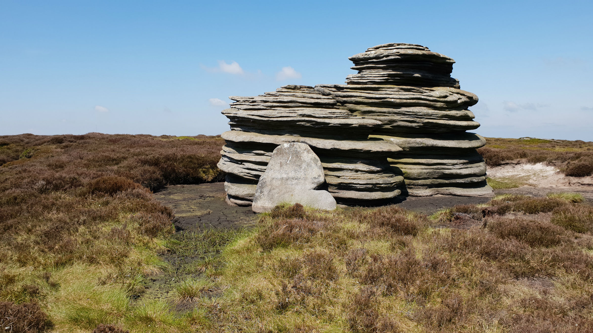
Horse Stone can be clearly seen from the high point.
From here it is a relatively easy approach to the rounded hill and of course the rocks of
Horse Stone. Follow the faint path to Horse Stone. A bearing will be needed in poor
visibility.
The rocks around this part of the Peak District are most interesting. Take
in the view of Bleaklow Stones around to Crow Stones Edge and beyond.
Now return back to the edge, at the high point. The walker will regret
any corners cut here as the area can be very wet. Continue east along the ridge, following
the path along the high point of the ridge to reach Outer Edge and the trig point.
From here continue along the path to reach Cut Gate. This is a very good path that is
descended to reach the Upper Derwent valley by Slippery Stones bridge.
Follow the track over the bridge and then back to Kings Tree.
(6.0kms. 50m. 1hrs. 50min.)