| Start : | Lady Canning Plantation Layby Layby by Lady Canning's plantation.[SK278835 400m ] |
| Summary : | Lady Canning Plantation - White Stones - Redmires Reservoir - Stanage Pole - Stanage Edge - Burbage Bridge - Houndkirk Road - Ox Stones - Lady Canning Plantation. |
| distance : | 12.0km. |
| ascent : | 150m. |
| time : | 3hr. 50min. |

Redmires Reservoirs from the moors.
©gritstoneedge.co.uk

Over the moors to Sheffield
©gritstoneedge.co.uk

Stanage Pole.
©gritstoneedge.co.uk
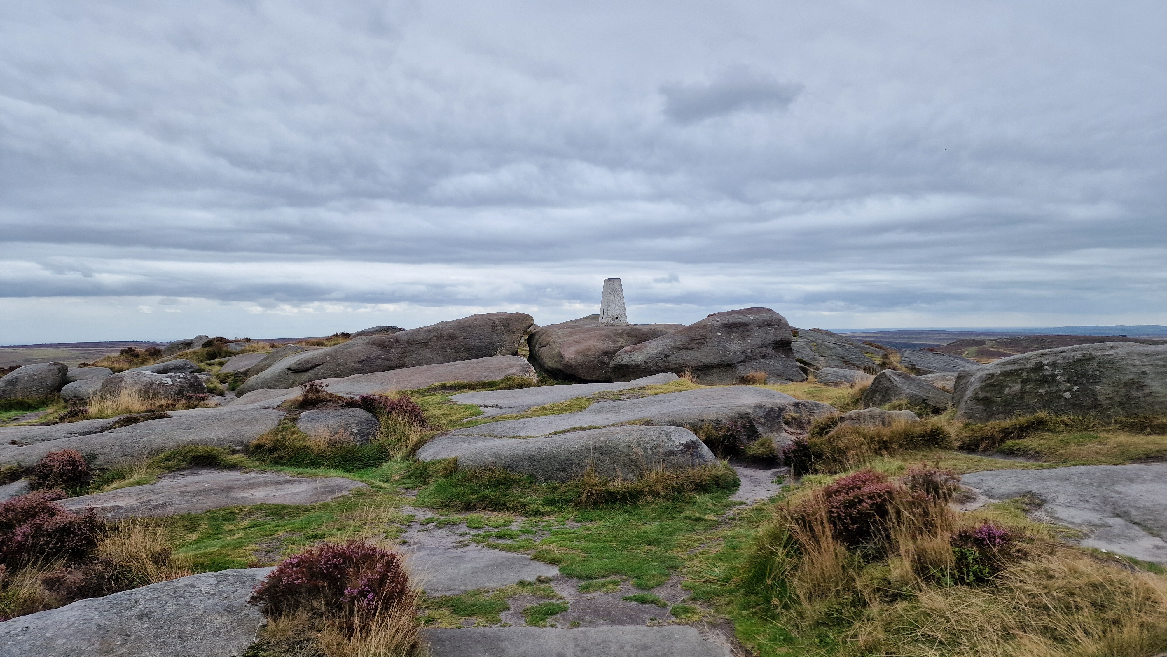
Stanage White Path Moss Trig Point
©gritstoneedge.co.uk

Sign at Burbage Bridge.
©gritstoneedge.co.uk

Path junction along Burbage.
©gritstoneedge.co.uk

By Lady Canning Plantation.
©gritstoneedge.co.uk
Ox Stones.
©gritstoneedge.co.uk
Sheffield
Current Weather
Last Updated today at : 07:40:44
| Overall : | few clouds |
| Temperature : | 8degC. |
| Wind Speed : | 11km/hr. |
| Wind Direction : | SSW |
| Clouds : | few clouds |
| Precipitation : | none |
| Sunrise : | 07:19:58 |
| Sunset : | 16:19:30 |
| : | Times are GMT add 1 hour for BST |
Data from openweathermap.org
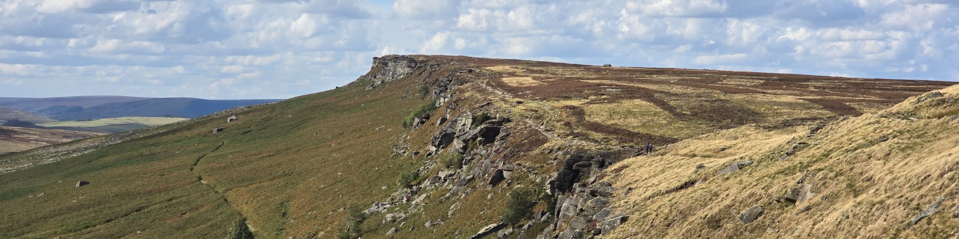
Hallam and Burbage Moors are large tracts of typical Peak District moorland. The edges of the moor make for a good walk including, as it does, Stanage and Burbage edges. The views on the east of this walk are predominantly over to Sheffield; indicating the nearness of this city to open hillside. In fact ost of this work is within the coundary of Sheffield City. There are many starting points to this walk including Burbage Bridge, Redmires Reservoir or Lady Canning plantation, which is described here.


