| Start : | Cut-Throat Bridge Layby Large layby on the A57 used by many walkers.[SK216874 294m ] |
| Summary : | Cut Throat Bridge - Jarvis Clough - Bamford Edge - Path / wall junction - Javis Clough - Cut Throat Bridge |
| distance : | 8.0km. |
| ascent : | 170m. |
| time : | 2hr. 40min. |
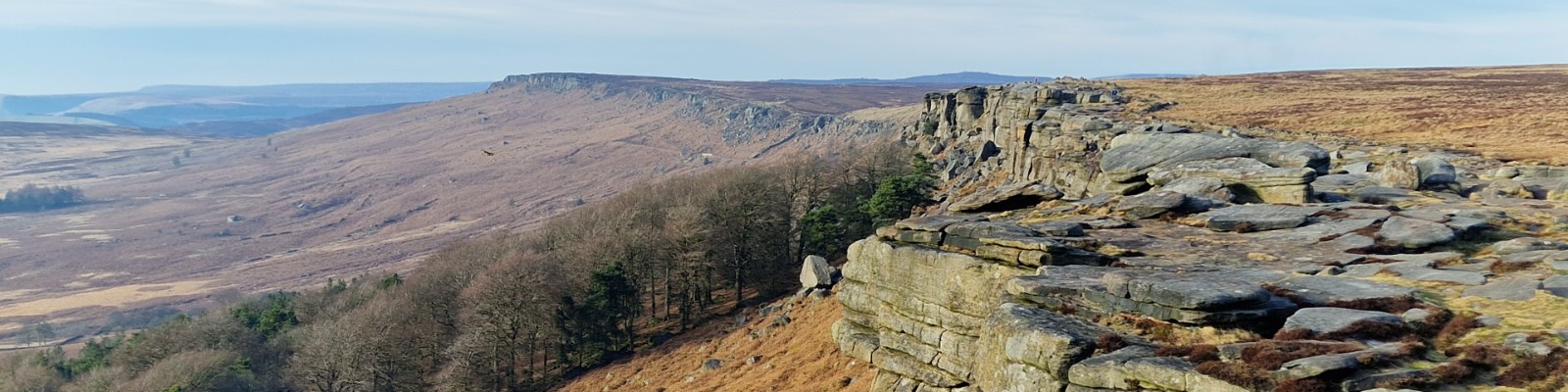
Bamford Edge and Ladybower
©gritstoneedge.co.uk
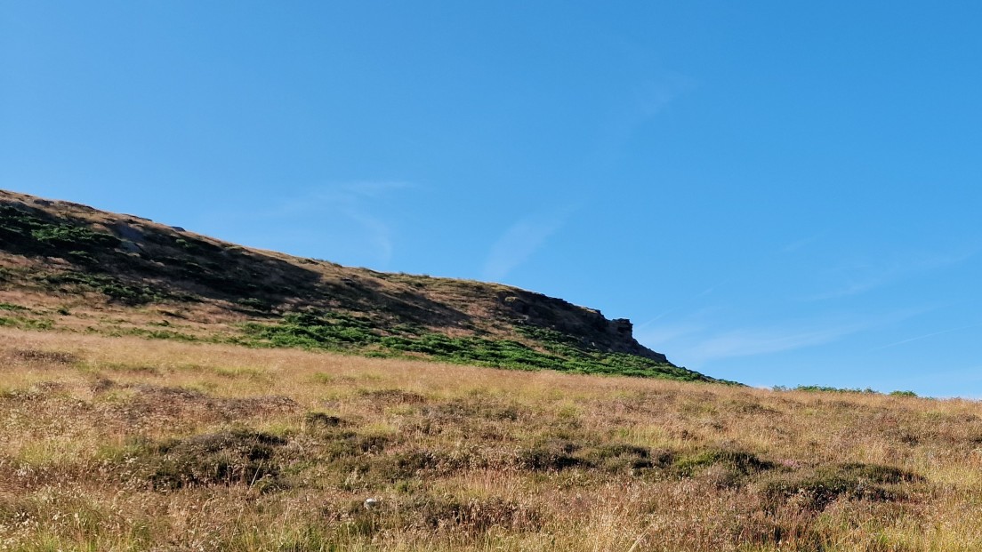
Walking past Hordron Edge
©gritstoneedge.co.uk
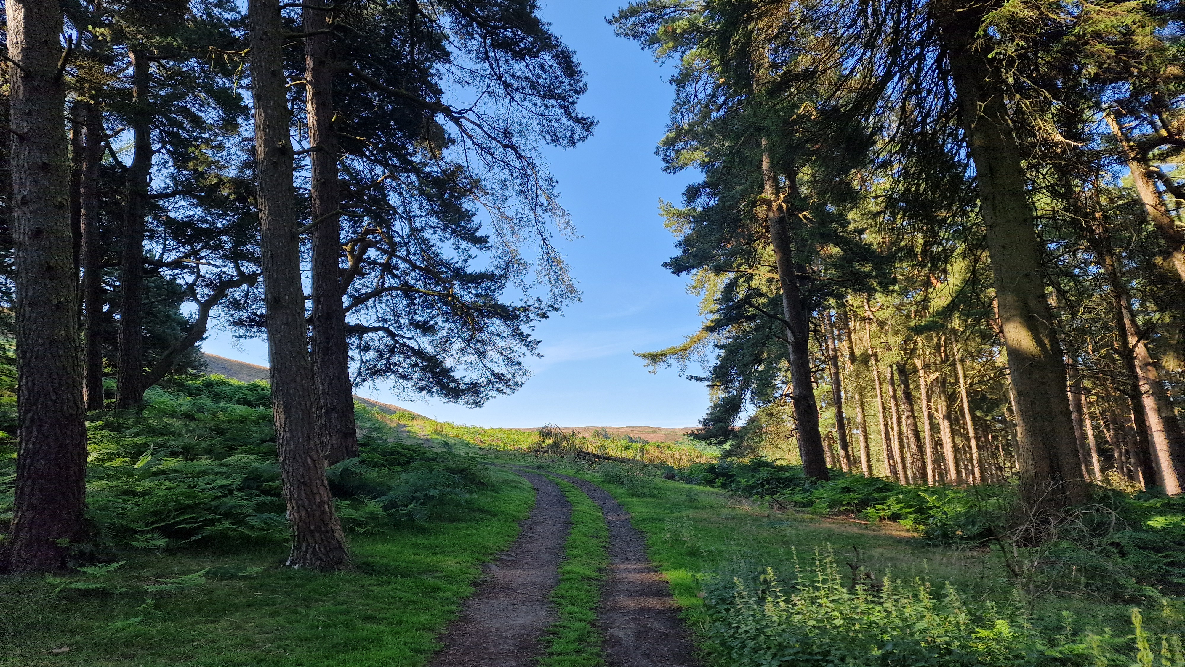
Through the forest
©gritstoneedge.co.uk
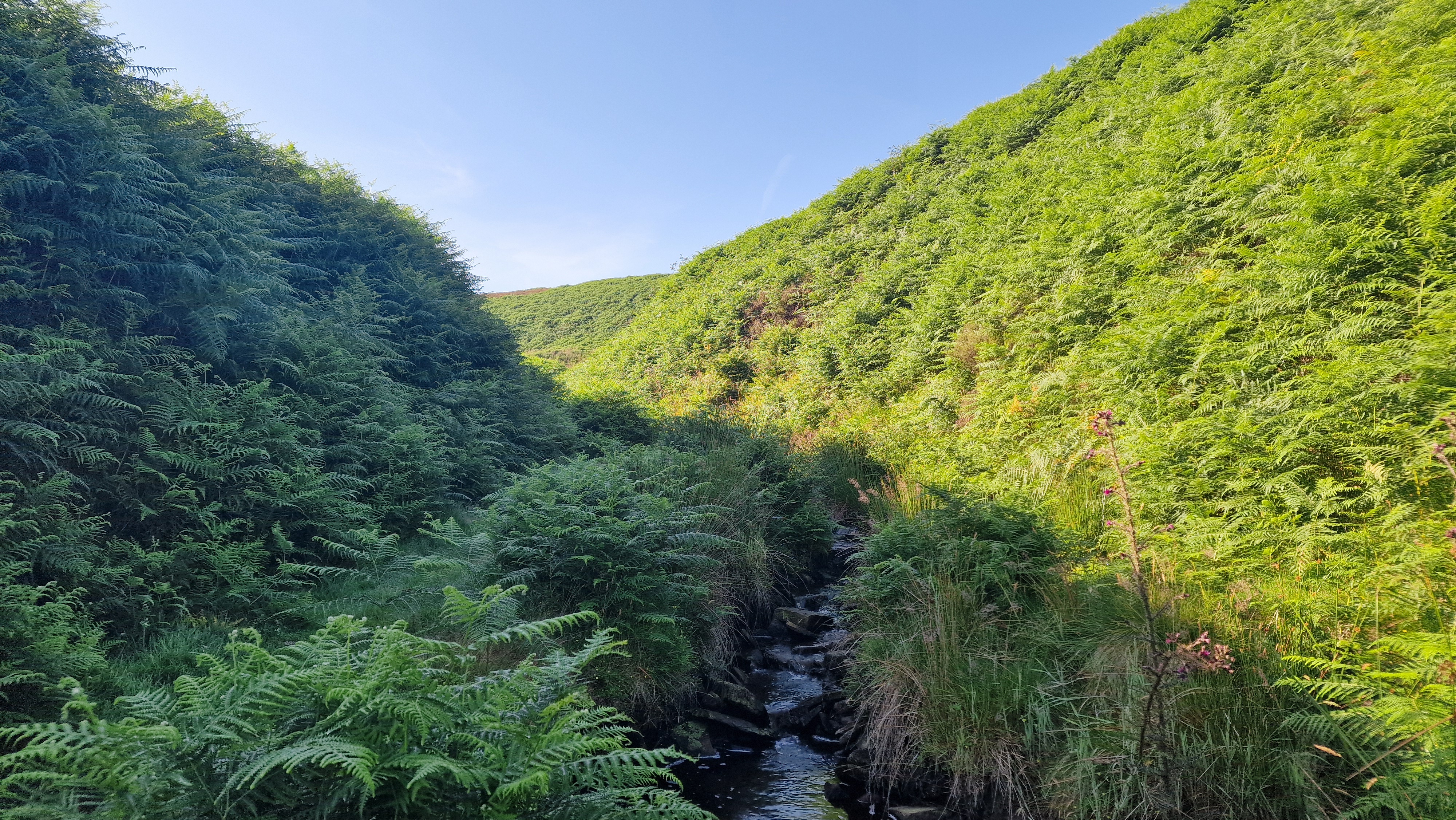
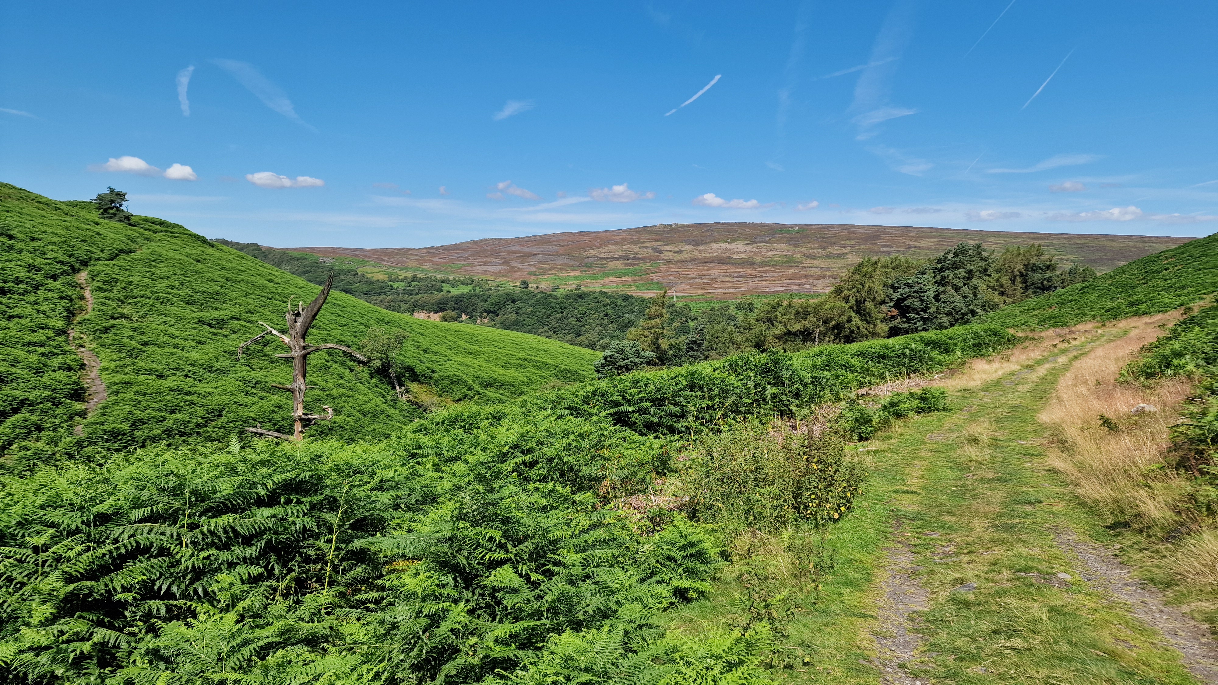
Looking up Jarvis Clough
©gritstoneedge.co.uk
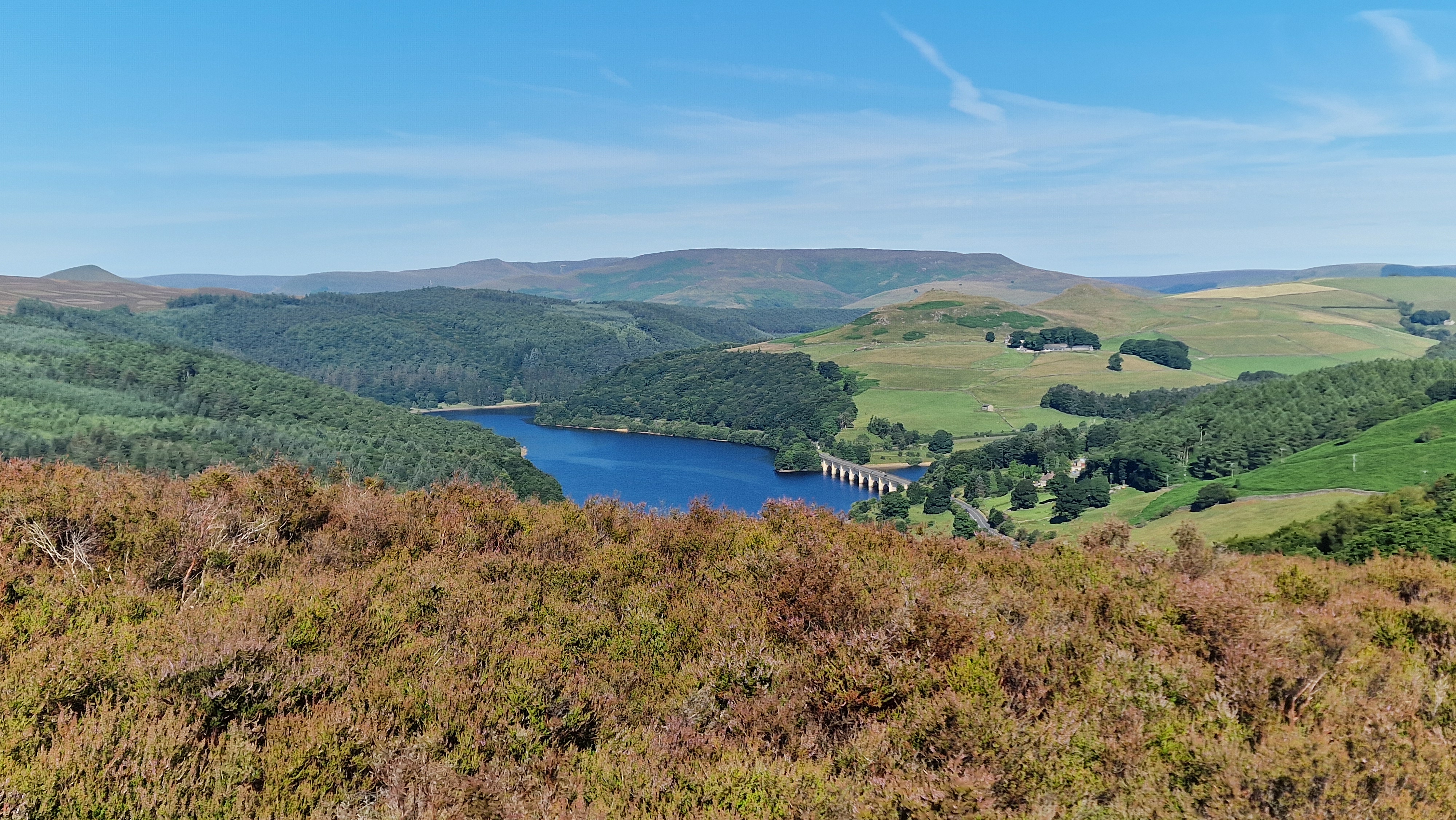
The view to Ladybower
©gritstoneedge.co.uk
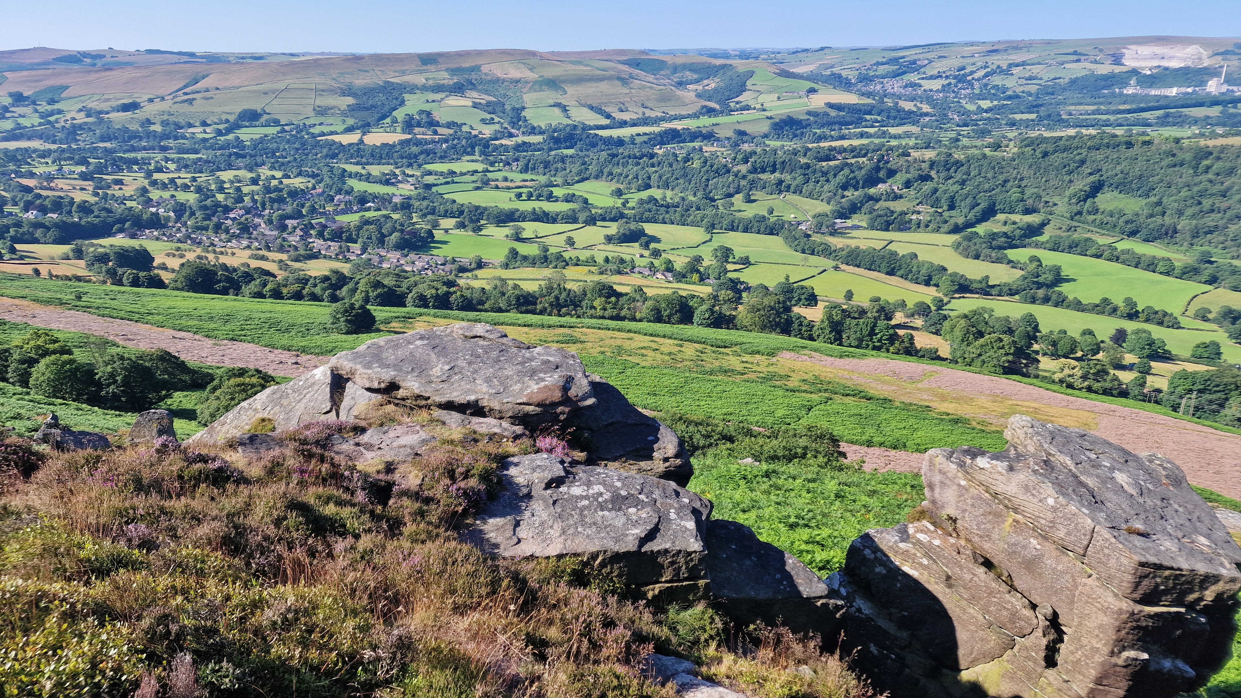
Bamford below Bamford Edge.
©gritstoneedge.co.uk
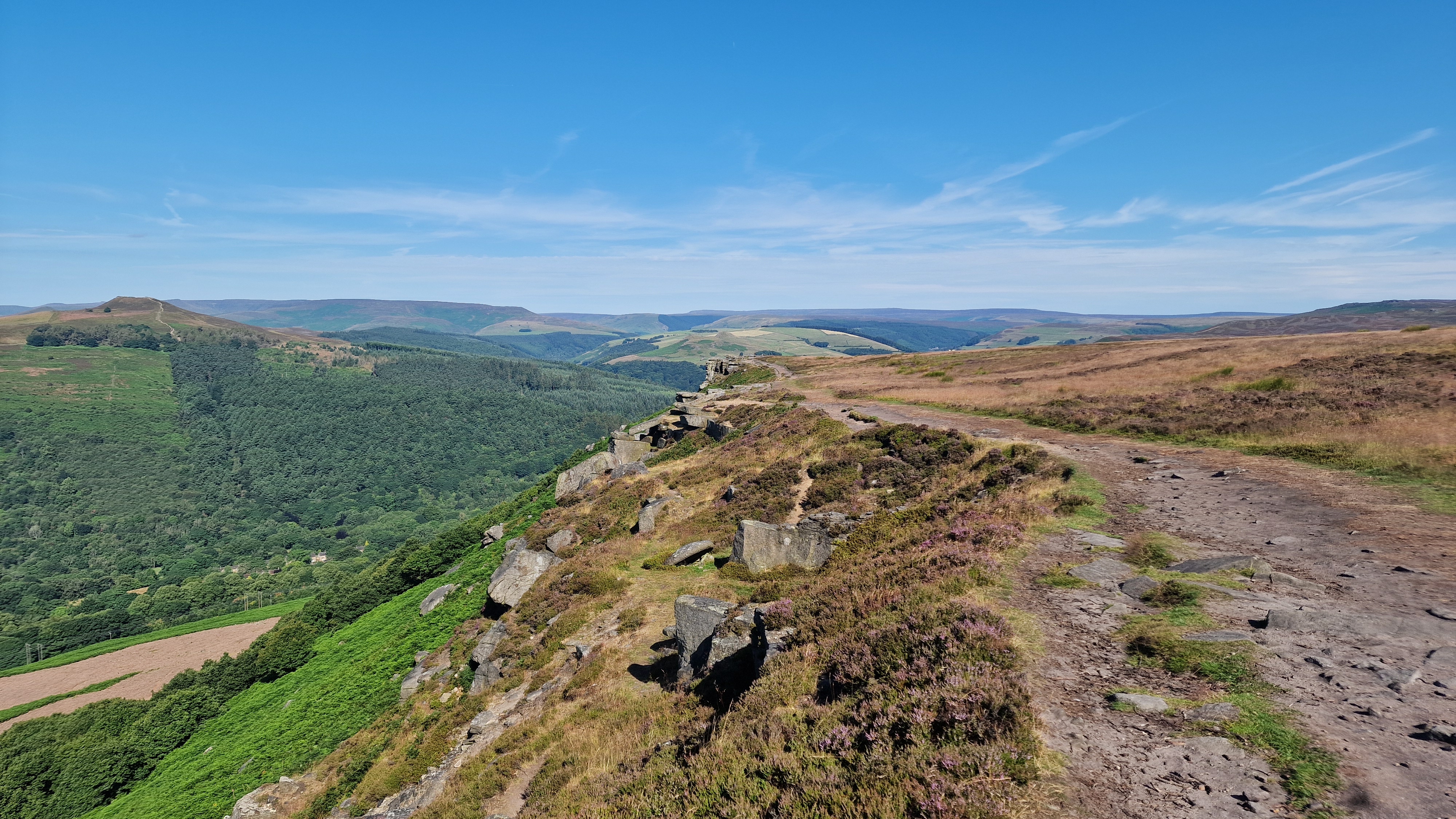
Bamford Edge and view to Win Hill.
©gritstoneedge.co.uk
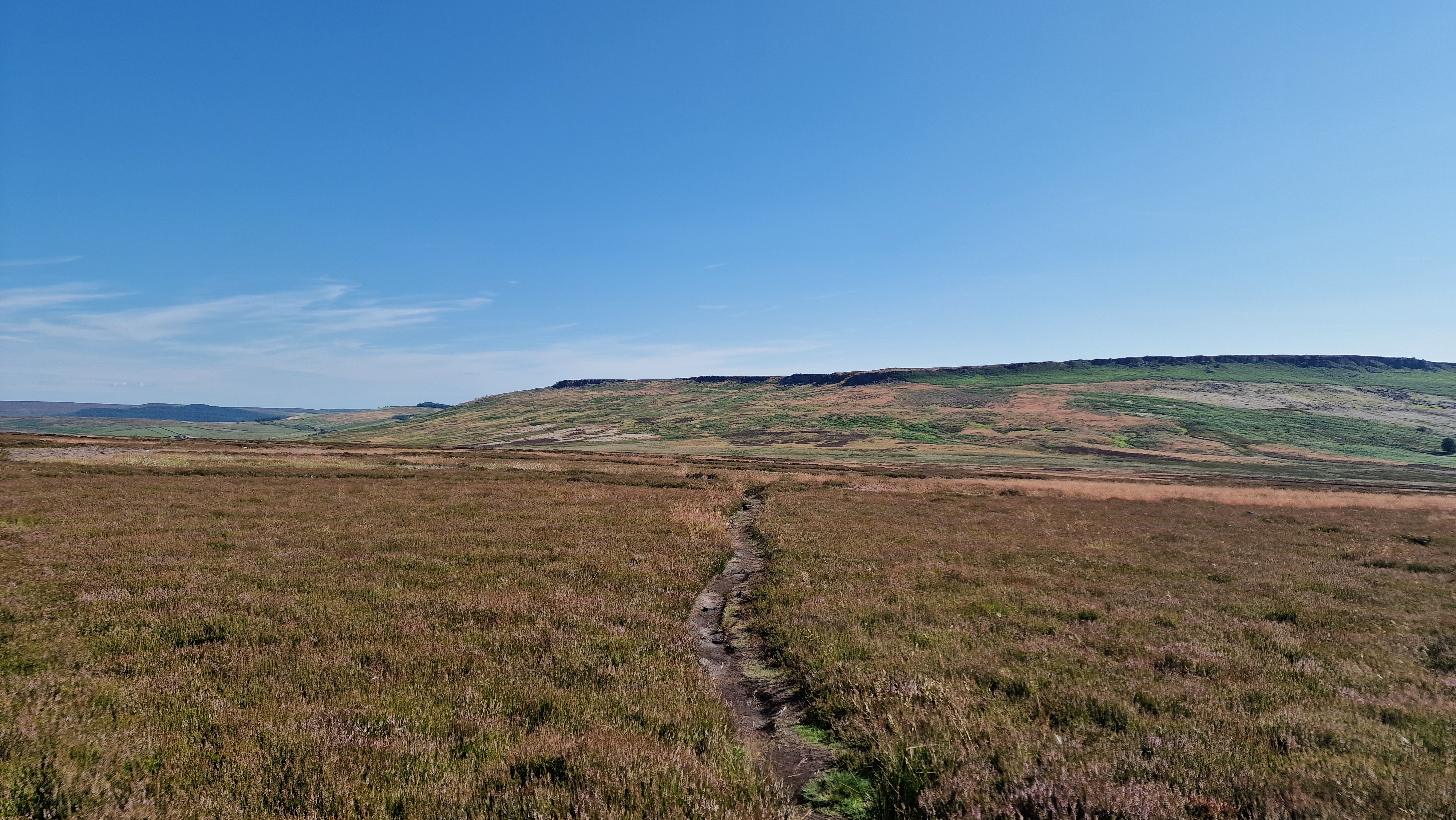
View to Derwent Edge from the moor track.
©gritstoneedge.co.uk
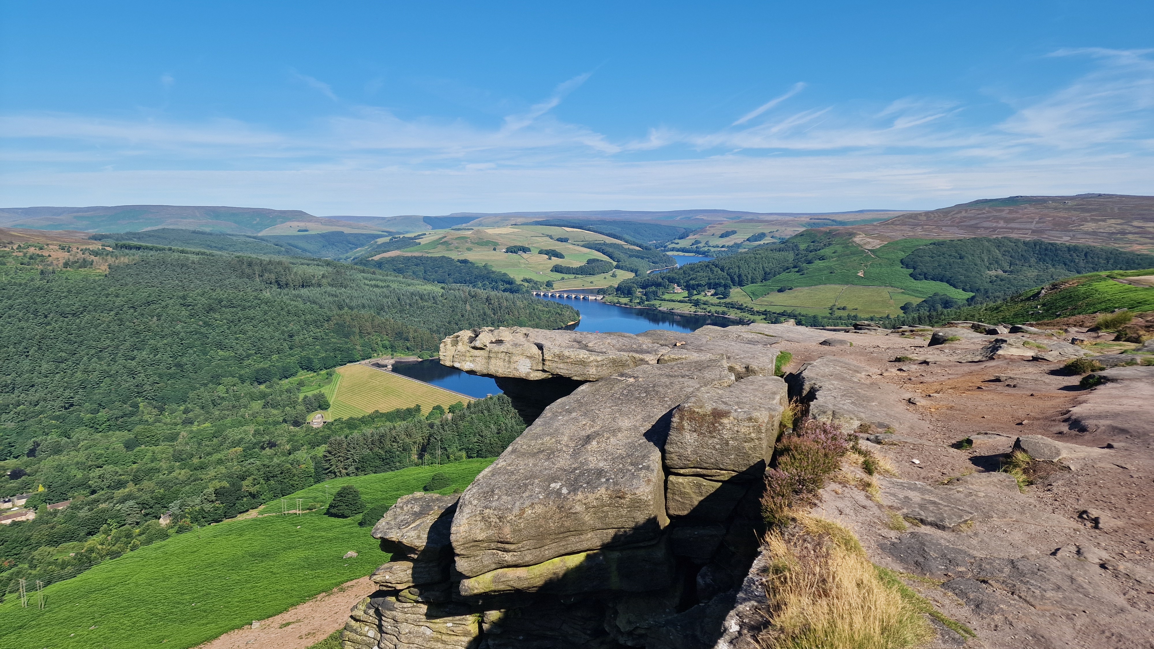
View over to Ladybower.
©gritstoneedge.co.uk
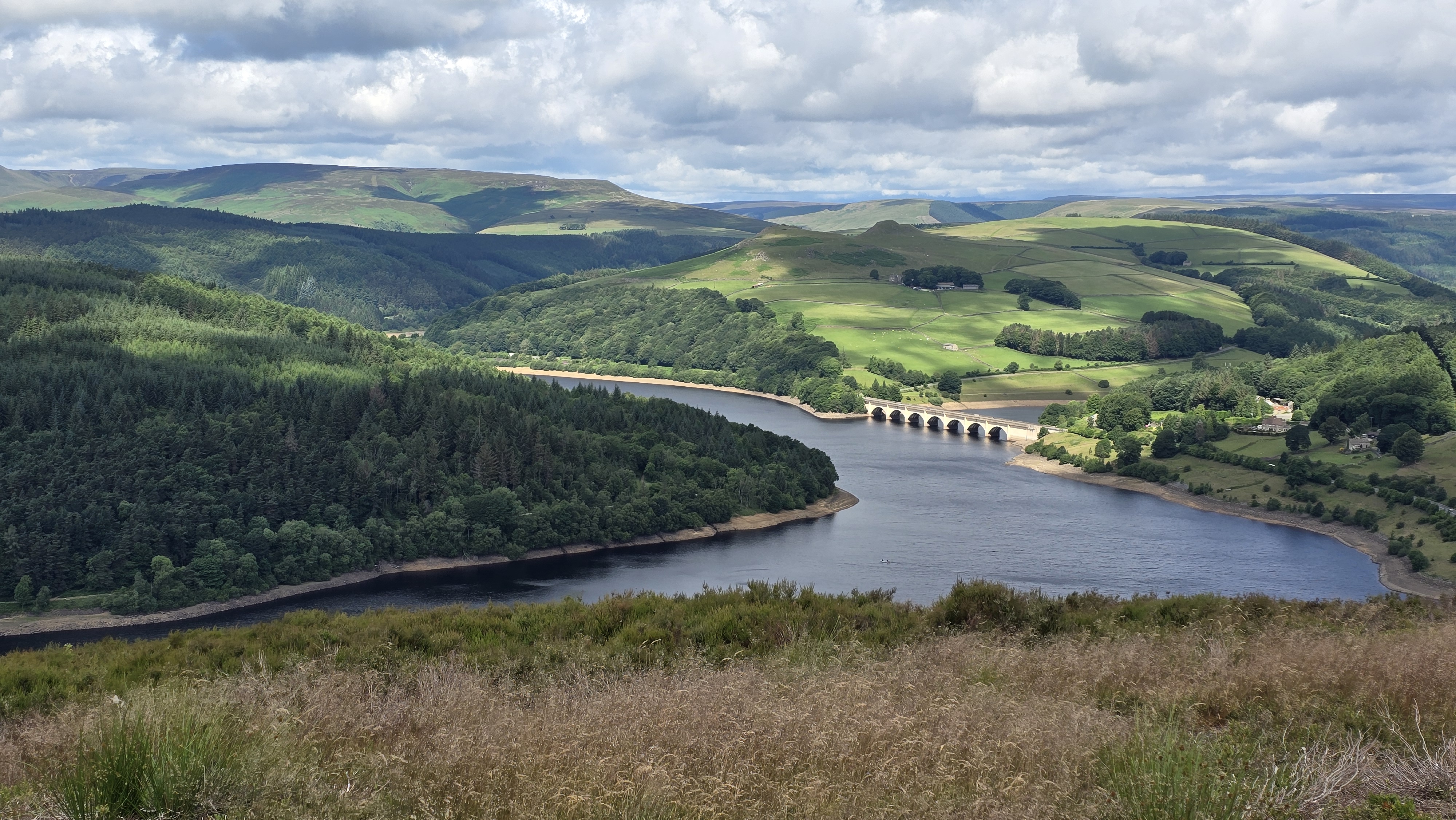
Ladybower and Kinder Beyond.
©gritstoneedge.co.uk
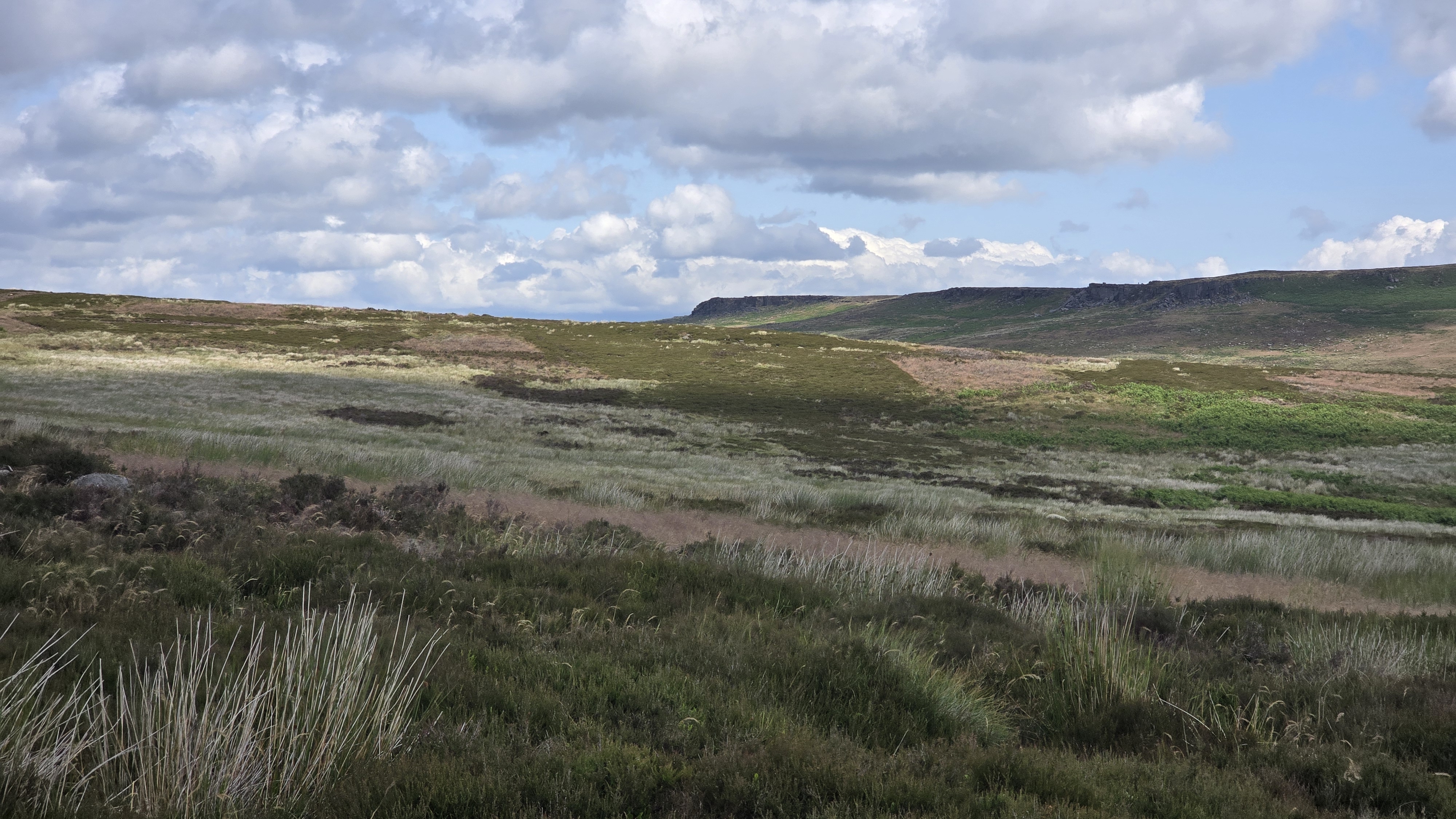
Over to (north) Stanage Edge.
©gritstoneedge.co.uk
Hathersage
Current Weather
Last Updated today at : 10:17:20
| Overall : | broken clouds |
| Temperature : | 10degC. |
| Wind Speed : | 16km/hr. |
| Wind Direction : | SSW |
| Clouds : | broken clouds |
| Precipitation : | none |
| Sunrise : | 07:20:32 |
| Sunset : | 16:20:26 |
| : | Times are GMT add 1 hour for BST |
Data from openweathermap.org
This route climbs up to Bamford Edge from the north of Bamford Moor. Then it is a walk around the high ground of Bamford Moor back to Javis Clough with great views over to Stanage. Bamford Moor was for many years a no go area for walkers although it is now within Access Land. The moor itself between Bamford and Stanage Edges, is pathless and the valley between the two edges is very boggy, so this walk avoids this area. Throughout there are great views, especially along the top of Bamford Edge with the views north to Ladybower reservoir and over to Win Hill over in the west.


