| Hill Summit : | Win Hill[SK186850, 462m.] |
| Hill Summit : | Kinder Low[SK079870, 633m.] |
| Hill Summit : | Brown Knoll[SK083851, 568m.] |
| Hill Summit : | Mam Tor[SK127836, 517m.] |
| Hill Summit : | Lose Hill[SK153853, 476m.] |
| Start : | Hope Village A pay car park in Hope Village just west of the Church.[SK169834 160m ] |
| Summary : | Hope - Win Hill - Hope Cross - Crookstone Knoll - Crowden Tower - Brown Knoll - Rushop Edge - Mam Tor - Lose Hill - Hope |
| distance : | 27.5km. |
| ascent : | 760m. |
| time : | 9hr. 30min. |

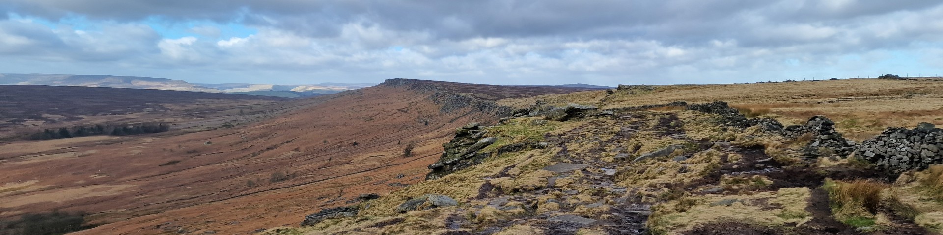
Win Hill Trig Point and Kinder beyond.
©gritstoneedge.co.uk
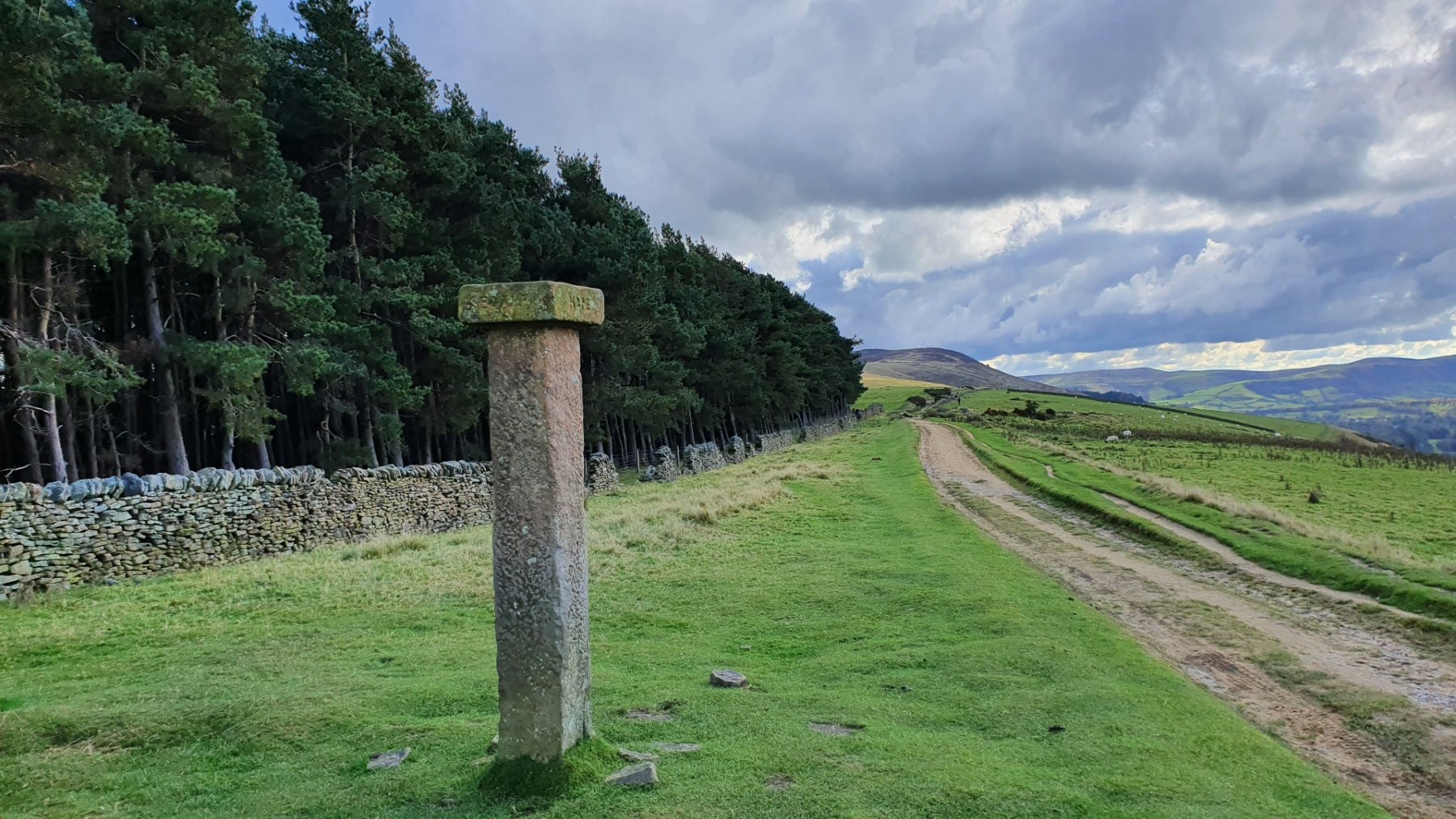
Hope Cross and Up to Win Hill.
©gritstoneedge.co.uk

trig point at .590
©gritstoneedge.co.uk
Pym's Chair
©gritstoneedge.co.uk
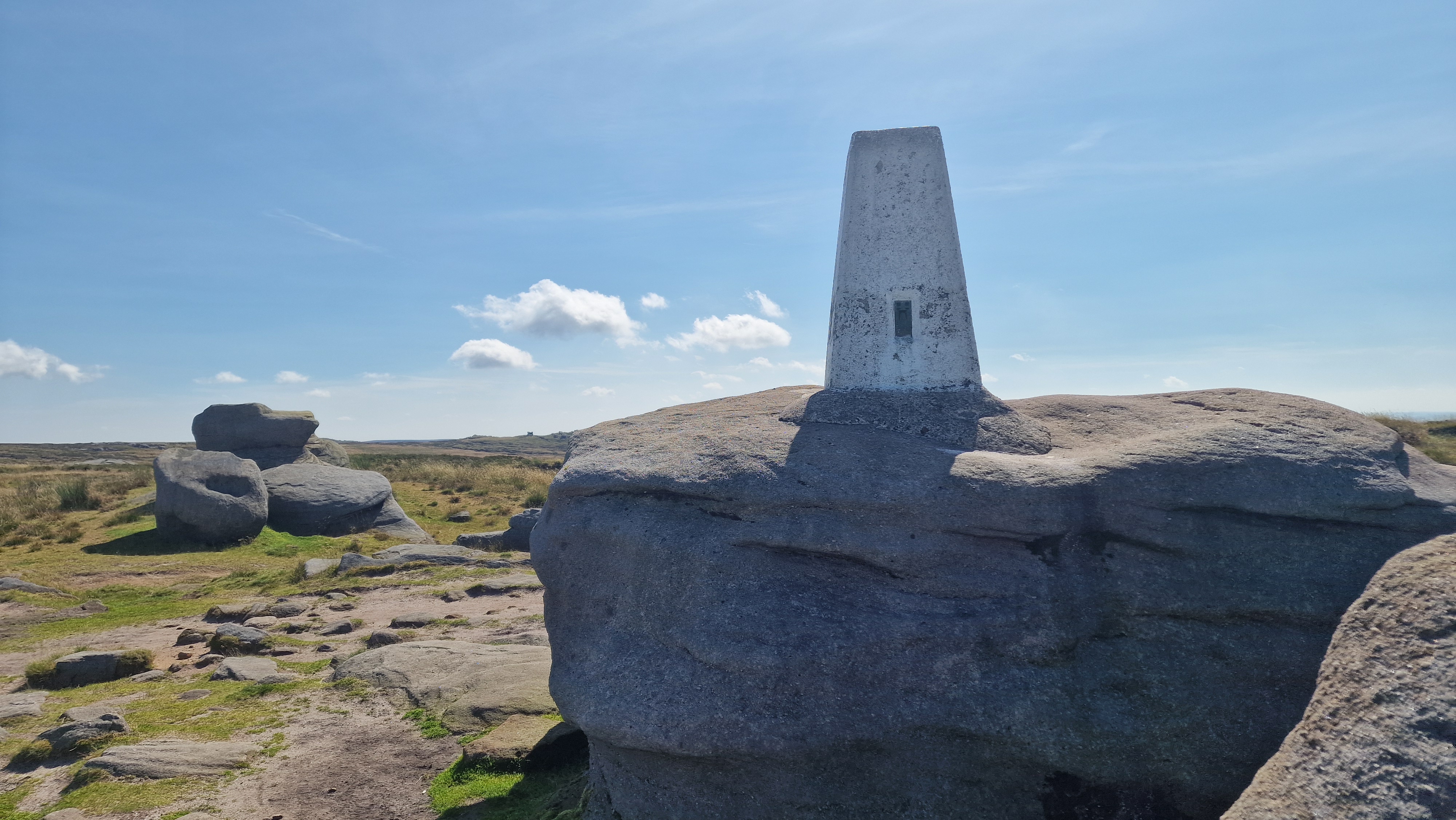
Trig point at Kinder Low
©gritstoneedge.co.uk
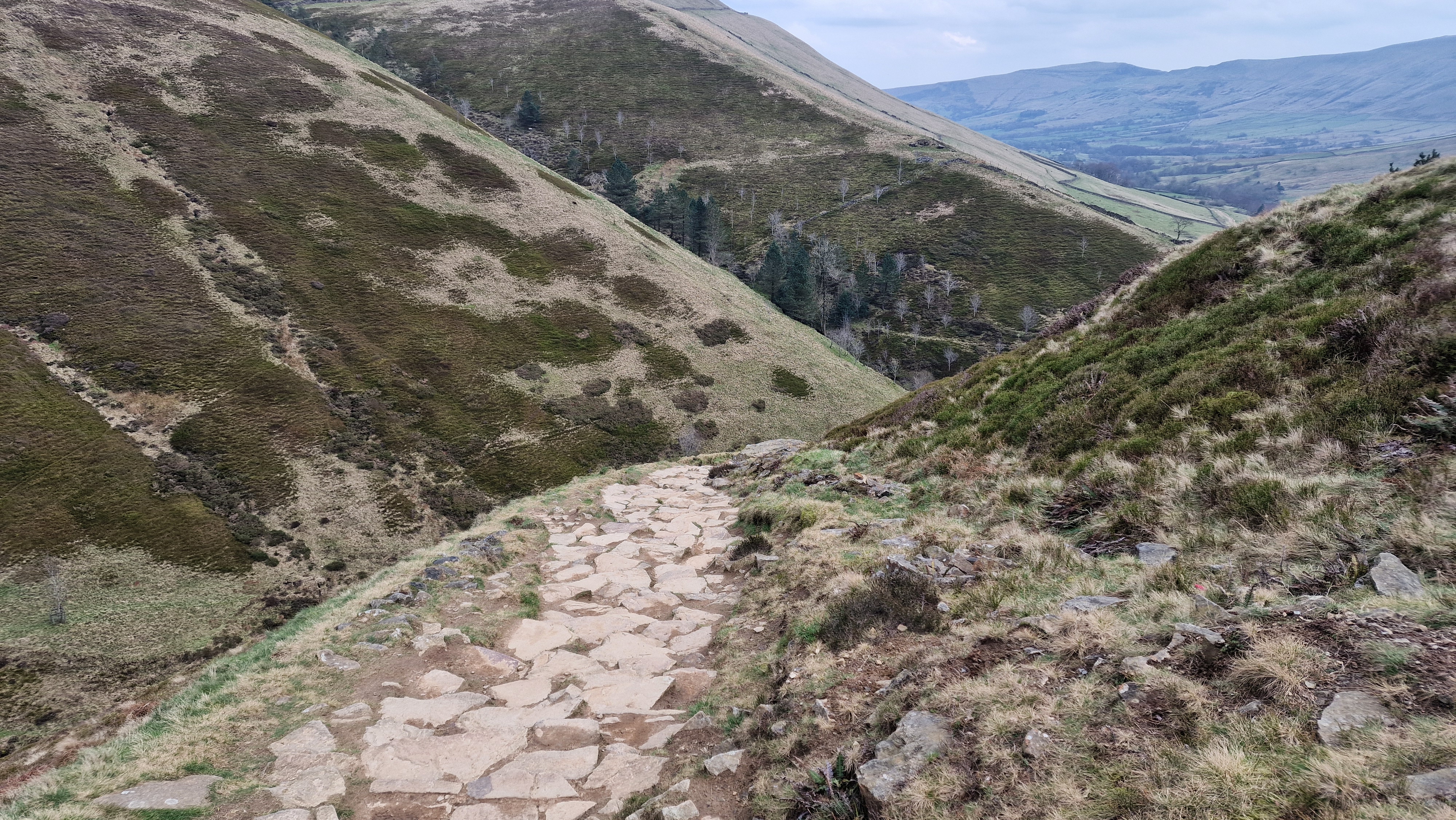
Looking down Jacobs Ladder.
©gritstoneedge.co.uk
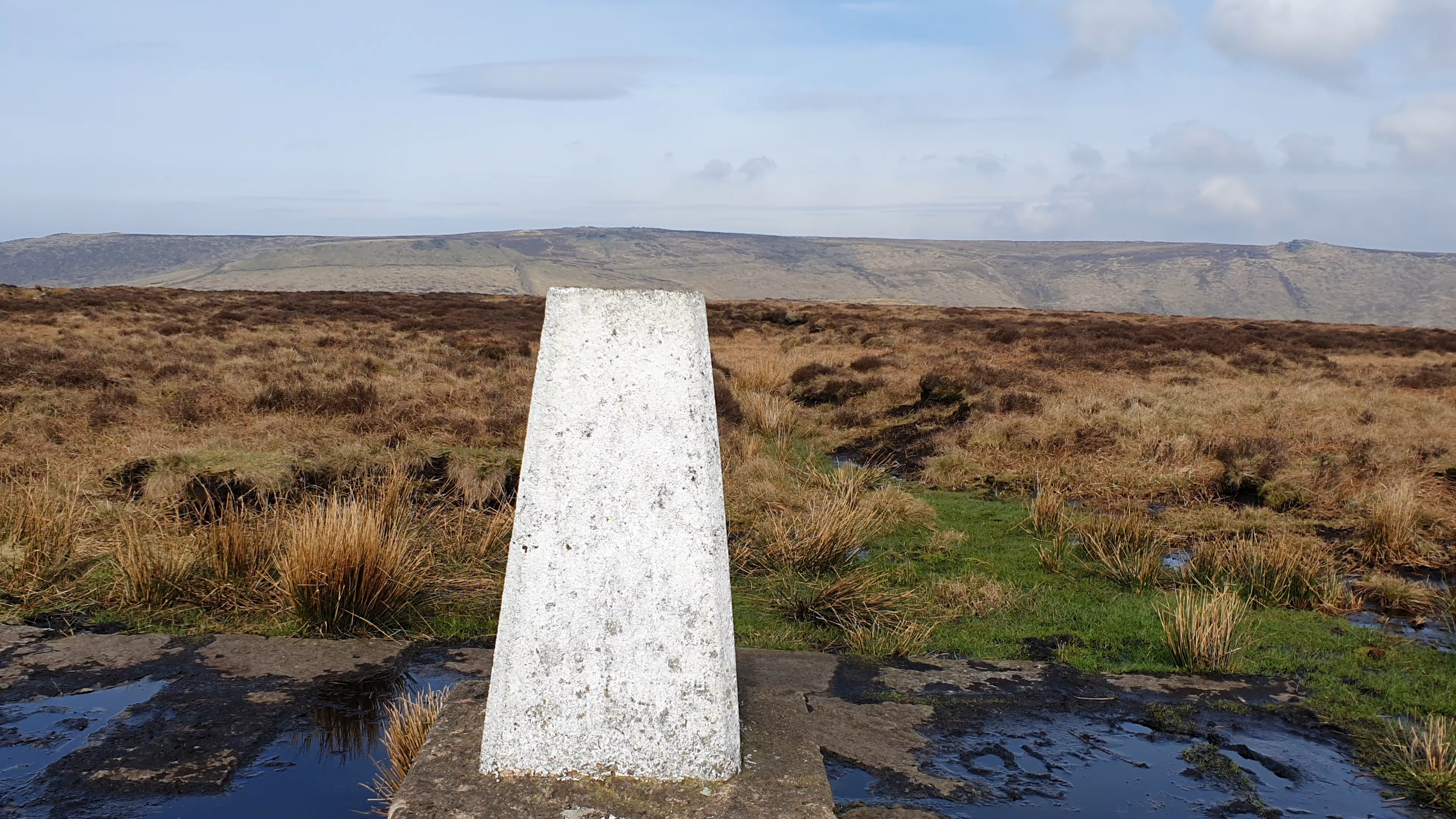
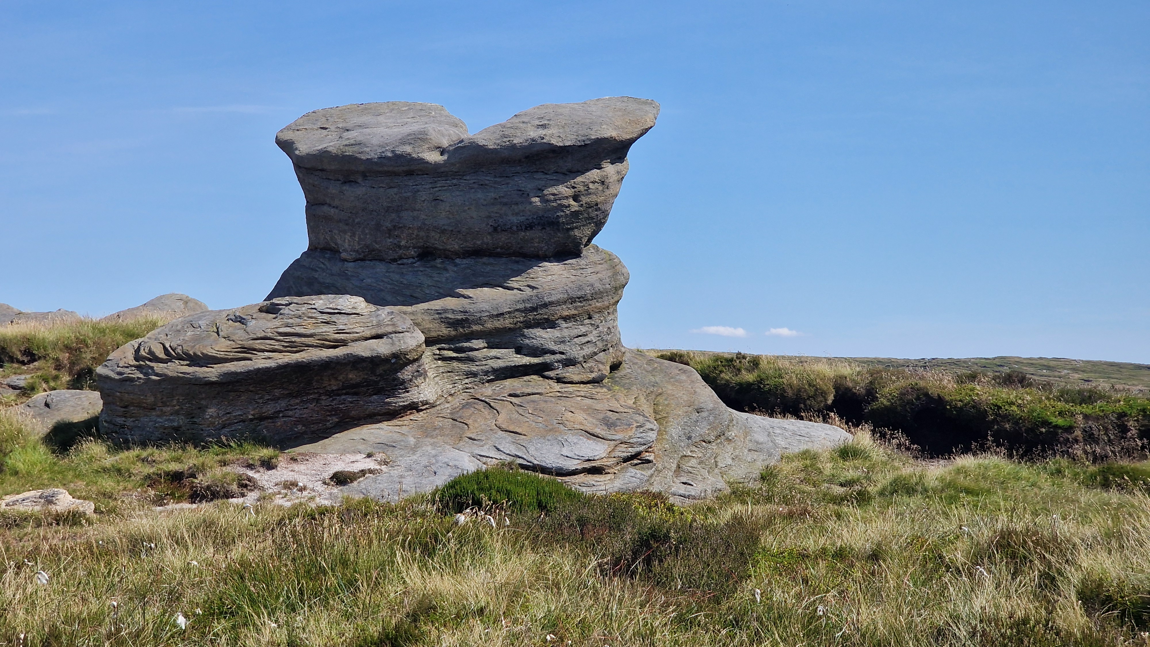
Brown Knoll Trig Point.
©gritstoneedge.co.uk

Lords Seat from Brown Knoll
©gritstoneedge.co.uk

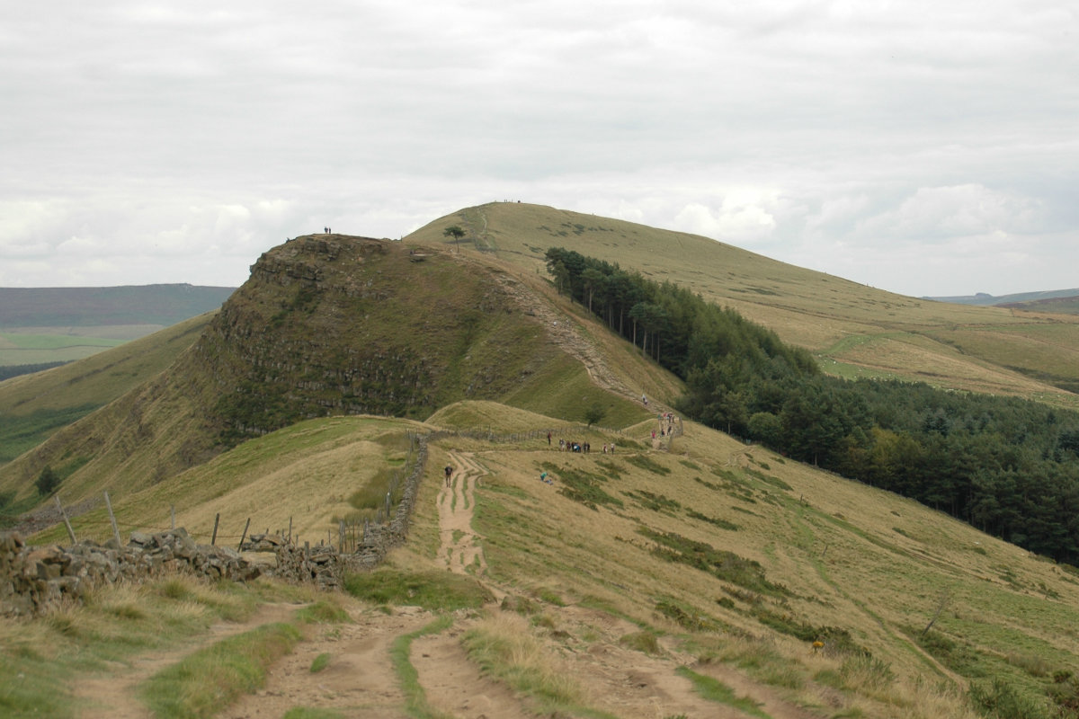
Looking towards Mam Tor.
©gritstoneedge.co.uk
Looking towards Back Tor and Lose Hill.
©gritstoneedge.co.uk
edale
Current Weather
Last Updated today at : 08:31:14
| Overall : | overcast clouds |
| Temperature : | 15degC. |
| Wind Speed : | 26km/hr. |
| Wind Direction : | WSW |
| Clouds : | overcast clouds |
| Precipitation : | none |
| Sunrise : | 03:45:56 |
| Sunset : | 20:37:06 |
| : | Times are GMT add 1 hour for BST |
Data from openweathermap.org
Edale Skyline has been a walking challenge for many over the years. There is no definitive route other than going around the Edale Valley on the skyline. This walk takes a traditional route around the valley skyline but does not start at Edale itself - a start at Hope is much more logical. The route takes in all the well known features in the area. Although a long walk and a challenge, pick a good day for weather and it is a great experience. The views over much of the northern part of the Peak District are worth the effort.


