| Hill Summit : | High Stones[SK188943, 548m.] |
| Hill Summit : | Margery Hill[SK189957, 545m.] |
| Start : | Kings Tree The end of the road on the side of Howden reservoir.[SK167939 271m ] |
| Summary : | Kings Tree - Slippery Stones - Nether Hey - High Stones - Margery Hill - Cut Gate - Slippery Stones - Kings Tree |
| distance : | 12.5km. |
| ascent : | 330m. |
| time : | 4hr. 20min. |
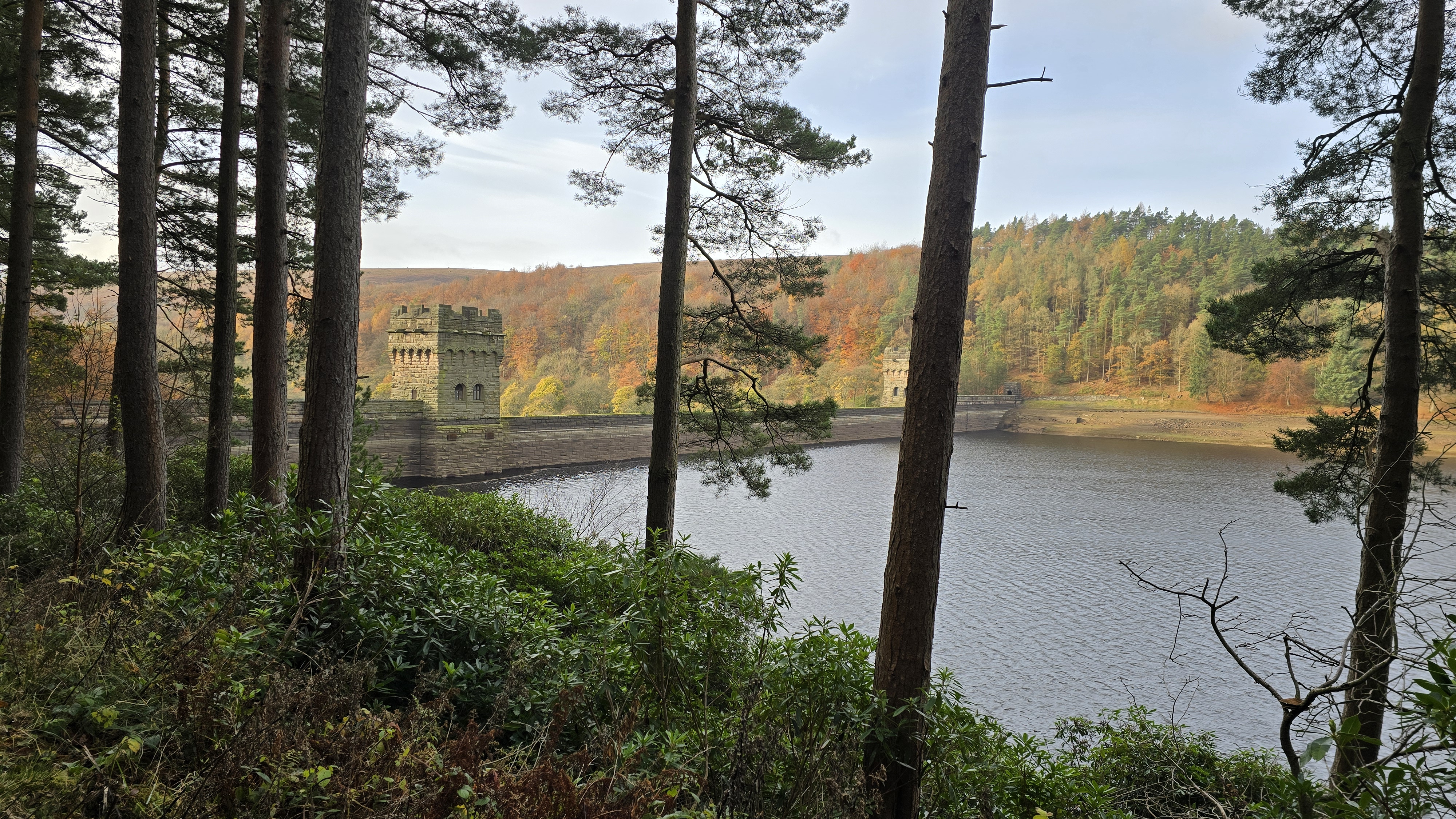
Howden Dam before the climbing.
©gritstoneedge.co.uk
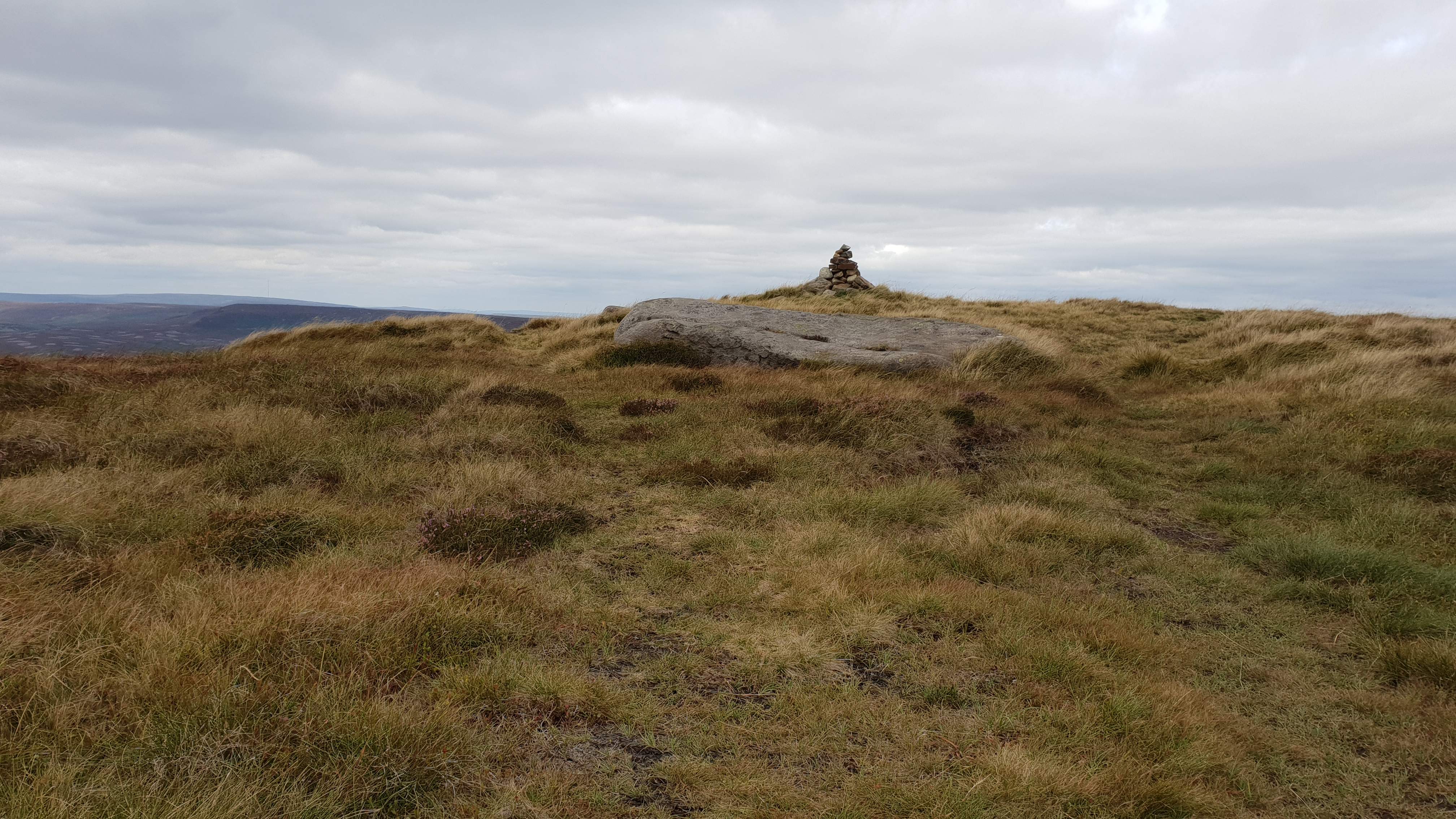
High Stones cairn pre 2024
©gritstoneedge.co.uk
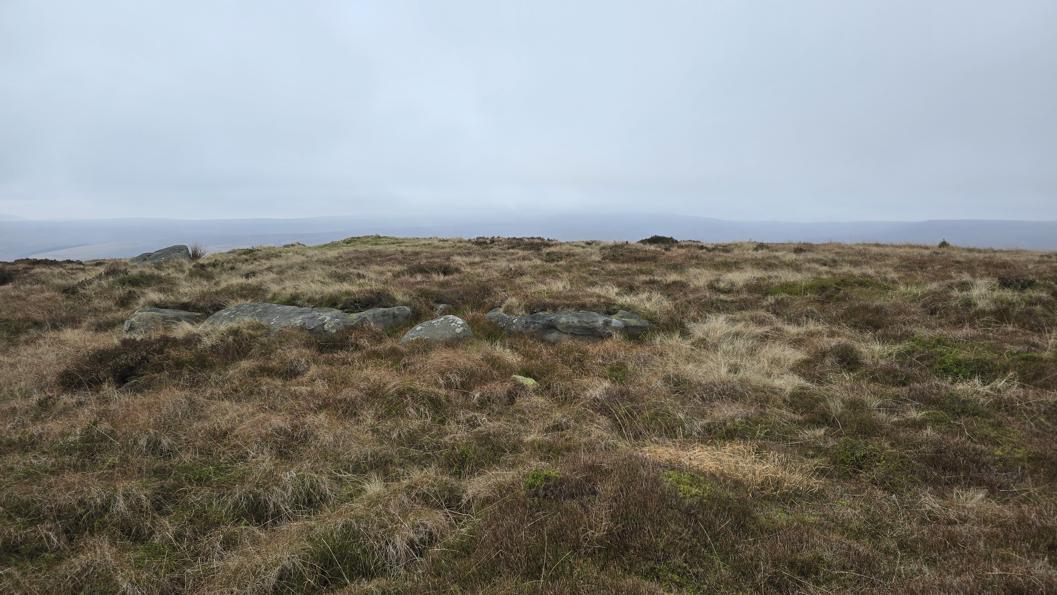
High Stones cairn post 2024
©gritstoneedge.co.uk
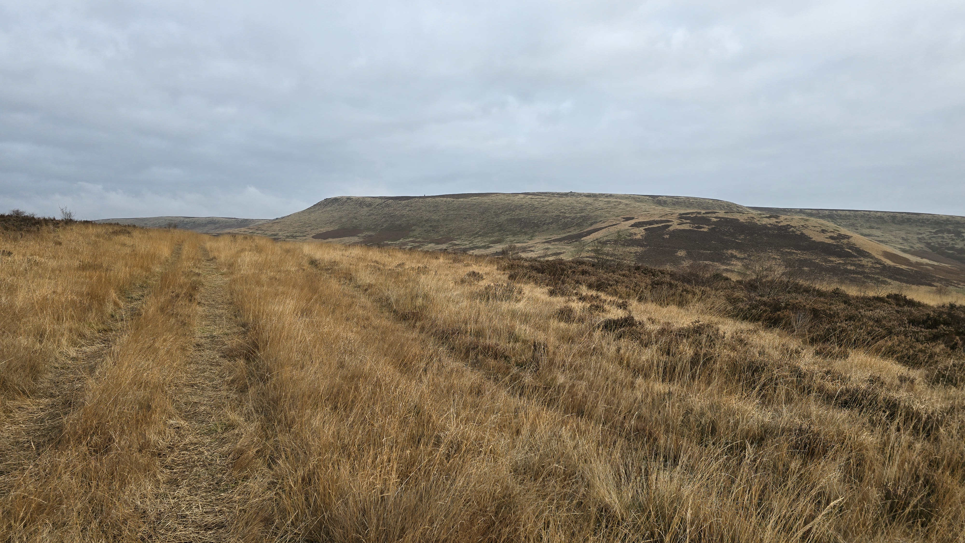
Looking north to Margery Hill
©gritstoneedge.co.uk
Looking back from Margery Hill
©gritstoneedge.co.uk
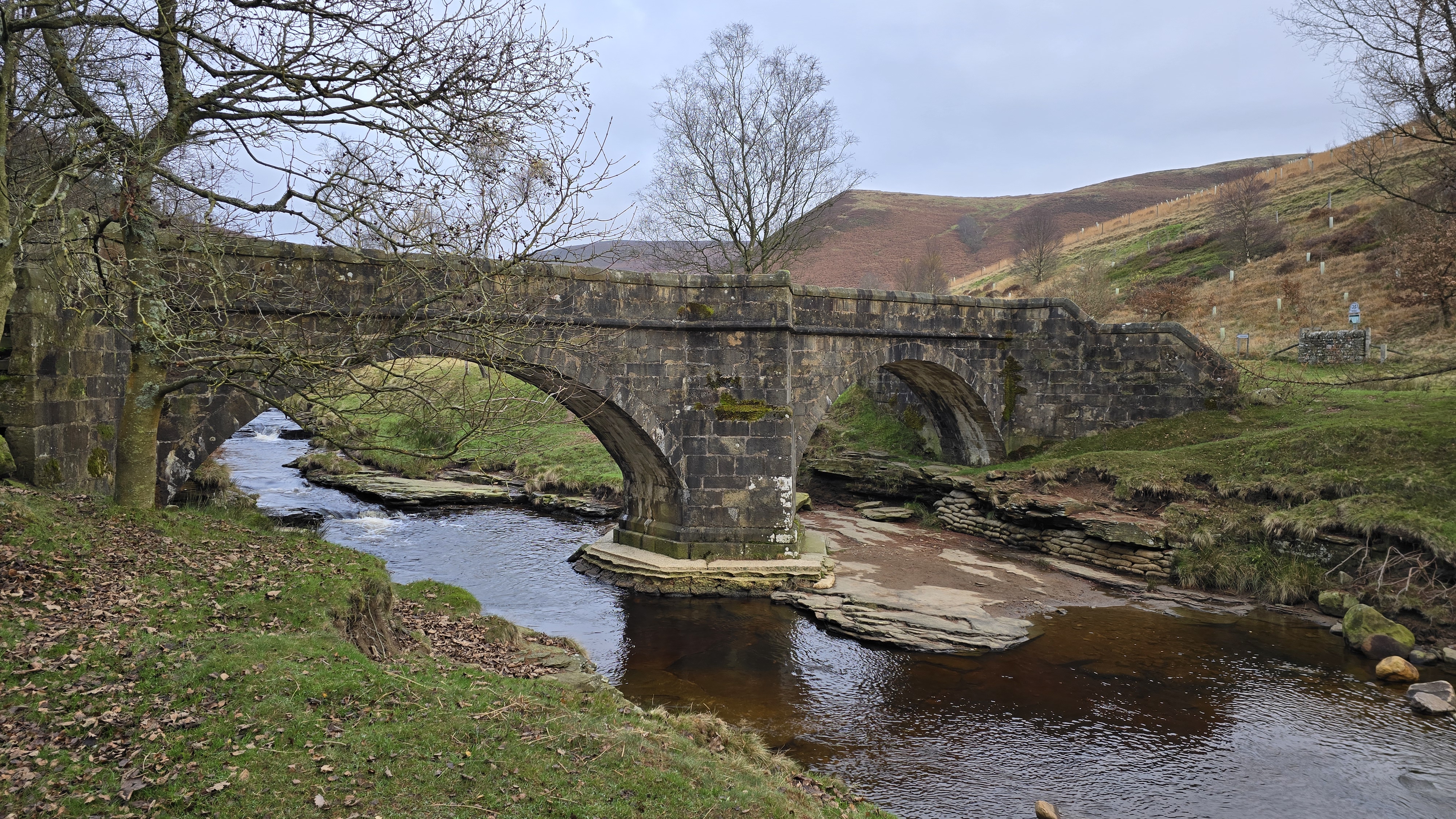
Pack Horse Bridge at Slippery Stones.
©gritstoneedge.co.uk
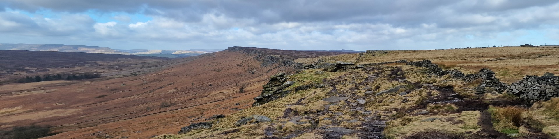
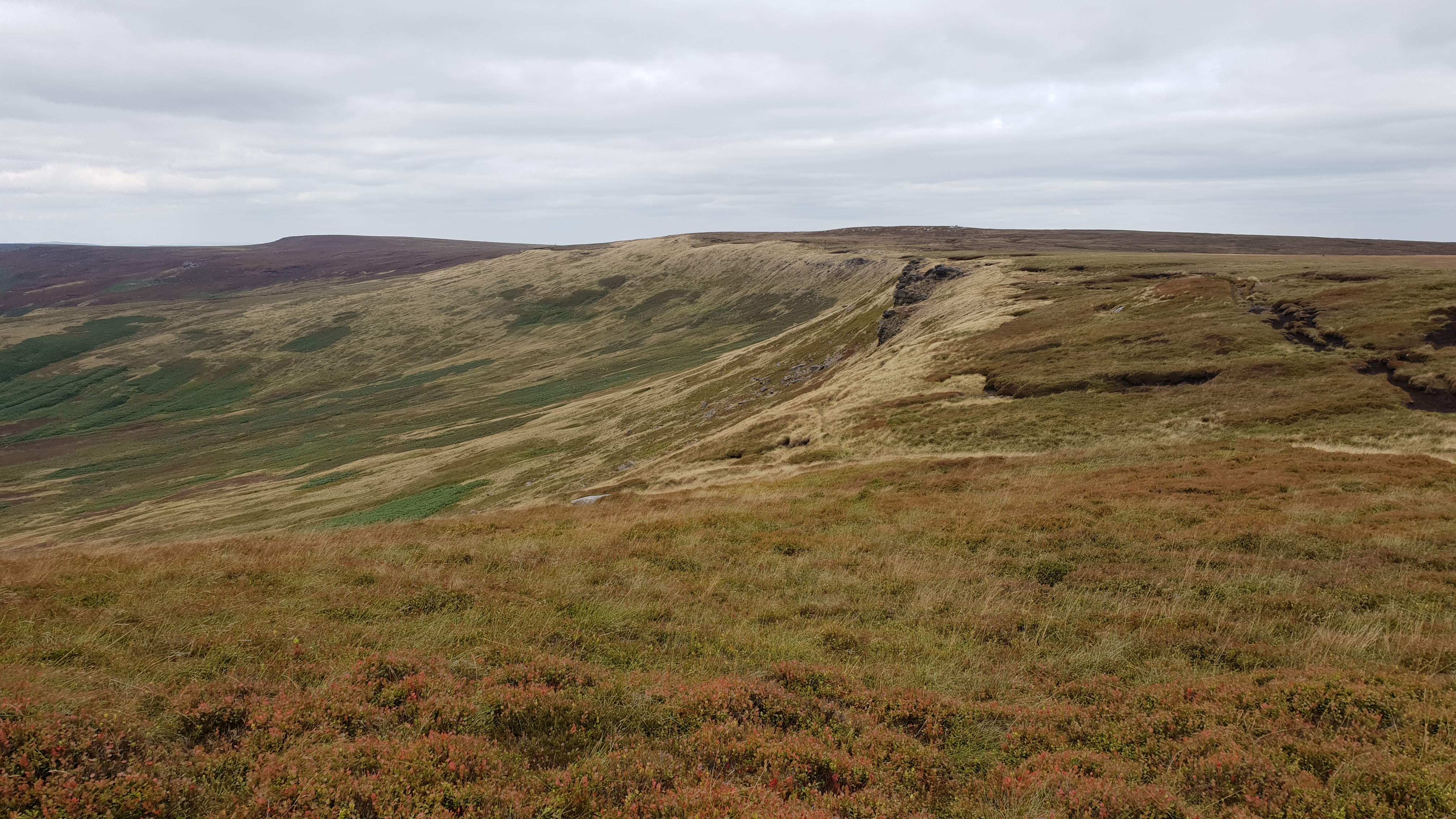
Towards High Stones on way up.
©gritstoneedge.co.uk
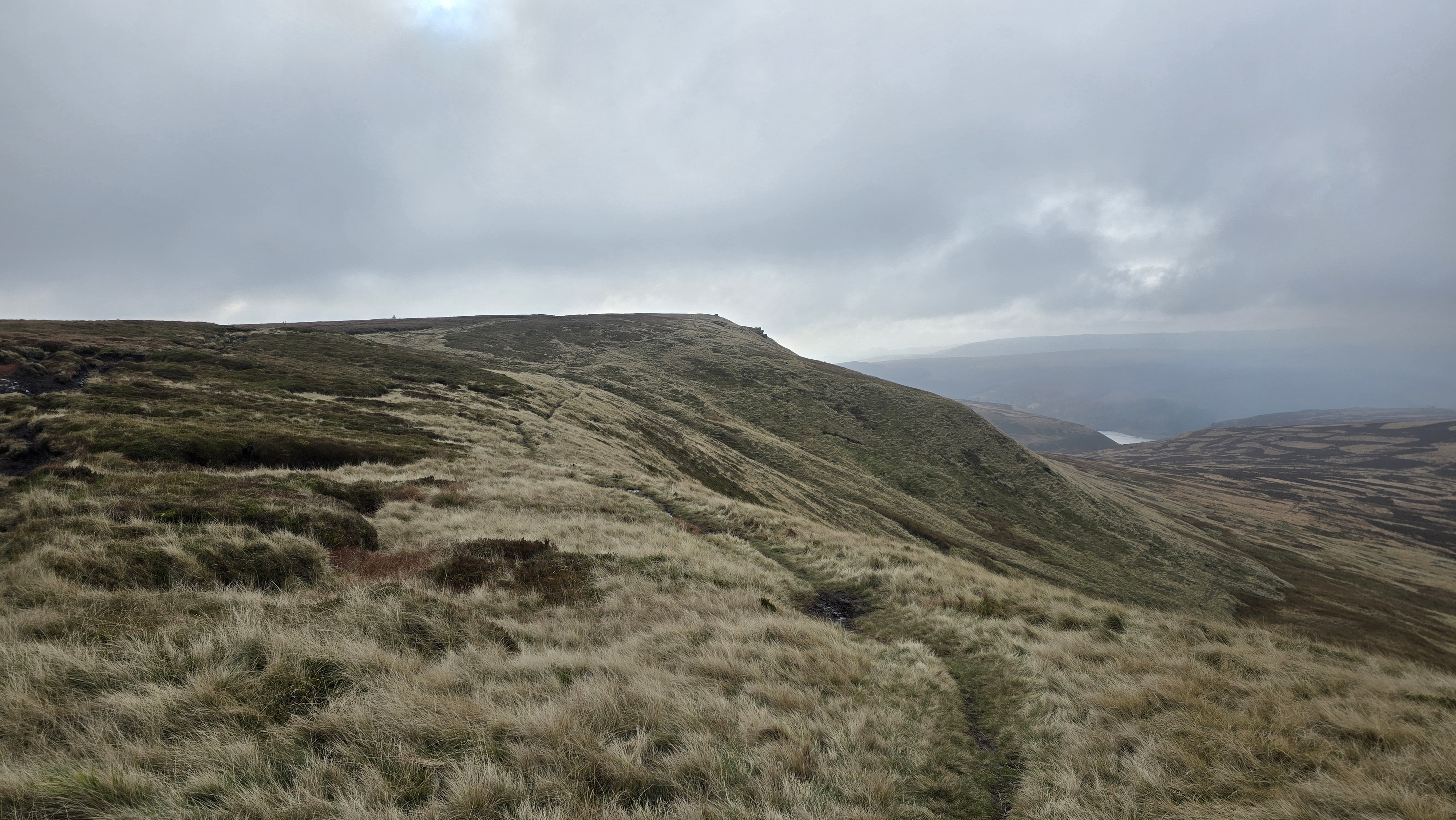
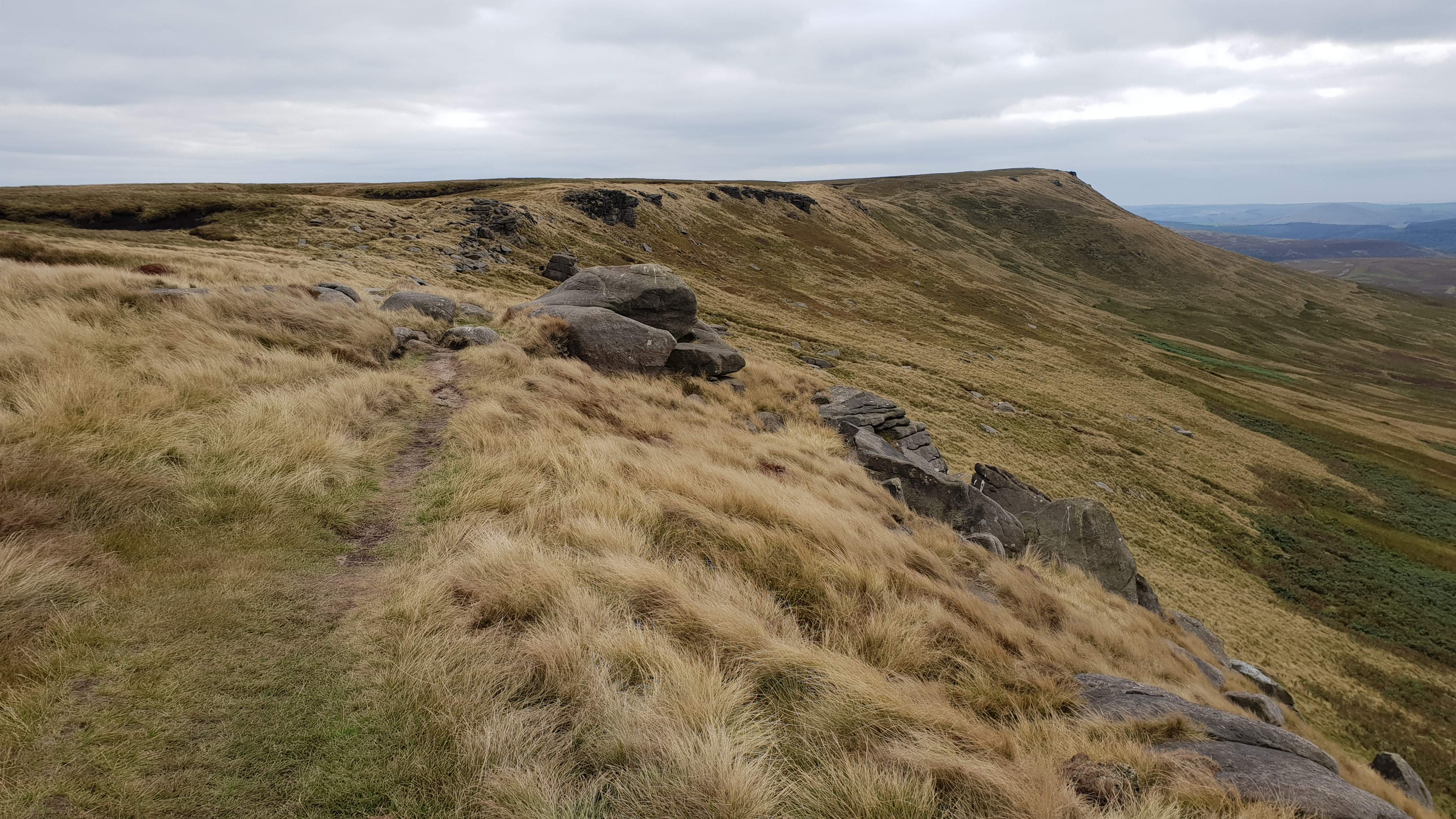
Looking back to High Stones
©gritstoneedge.co.uk
Sheffield
Current Weather
Last Updated today at : 10:17:41
| Overall : | scattered clouds |
| Temperature : | 10degC. |
| Wind Speed : | 15km/hr. |
| Wind Direction : | SSW |
| Clouds : | scattered clouds |
| Precipitation : | none |
| Sunrise : | 07:19:58 |
| Sunset : | 16:19:30 |
| : | Times are GMT add 1 hour for BST |
Data from openweathermap.org
High Stones is the high point of Sheffield and South Yorkshire. It lies within Howden Moors along Howden Edge. This is a remote moor well away from the crowds and the walker is likely to be on their own here. Howden Moor in general has a reputation as being wet and boggy but the area between High Stones and Margery Hill has an excellent path; as are the access paths up and down on this walk. This hill gives great views over Bleaklow, Kinder and east over most of South Yorkshire and beyond.


