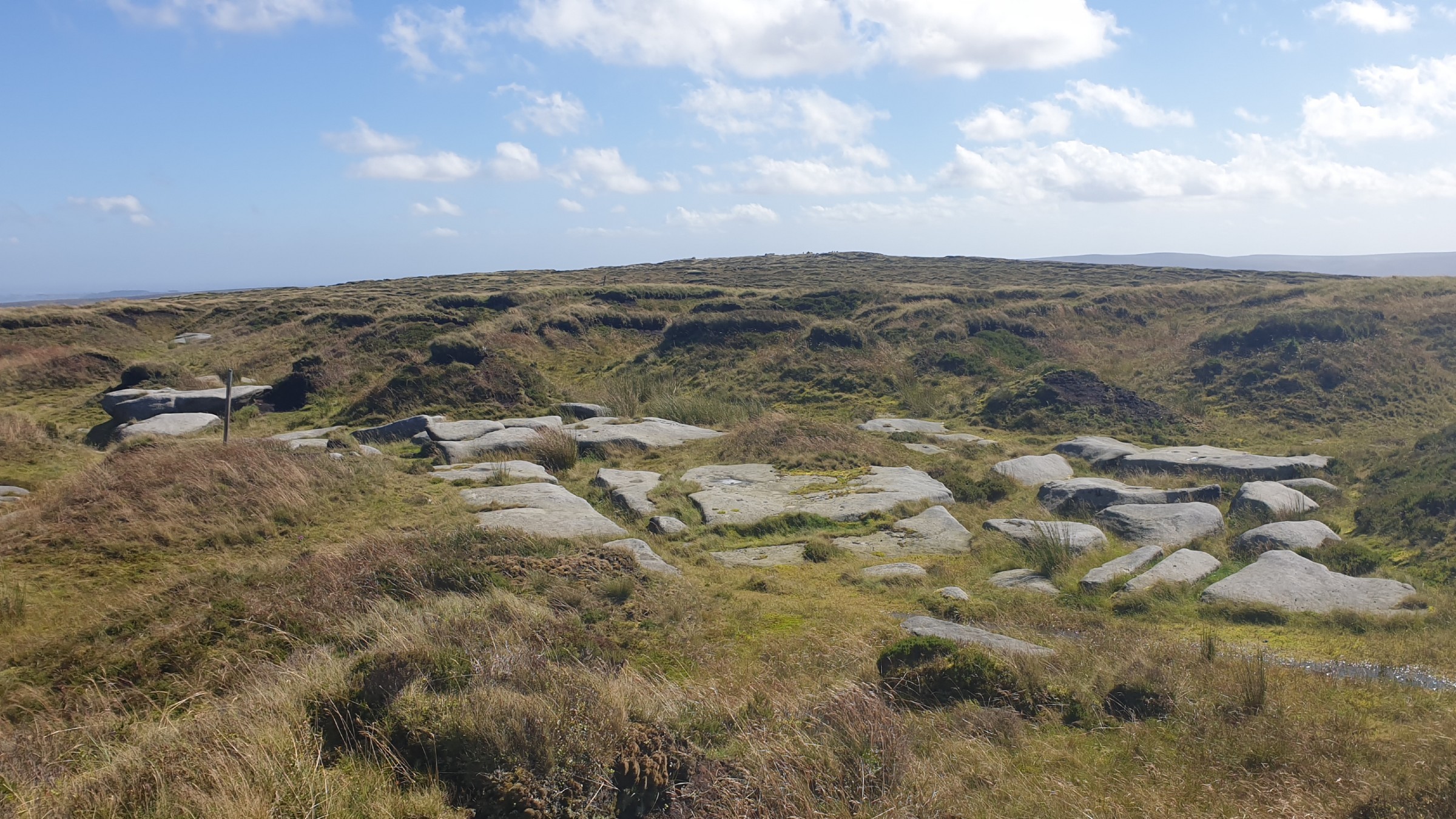
| Hill Summit : | Bleaklow Head[SK094960, 633m.] |
| Hill Summit : | Higher Shelf Stones[SK089947, 621m.] |
| Hill Summit : | Bleaklow Hill[SK105963, 630m.] |
| Hill Summit : | Bleaklow Stones[SK113963, 620m.] |
| Start : | Doctors Gate. Layby off the A57 east of Snake Summit.[SK096929 450m ] |
| Summary : | A57 (Doctors Gate) - Higher Shelf Stones - Hern Stones - Wain Stones - Bleaklow Head - Bleaklow Hill - Bleaklow Stones - Bleaklow Head - A57 (Doctors Gate) |
| distance : | 12.5km. |
| ascent : | 220m. |
| time : | 4hr. 10min. |
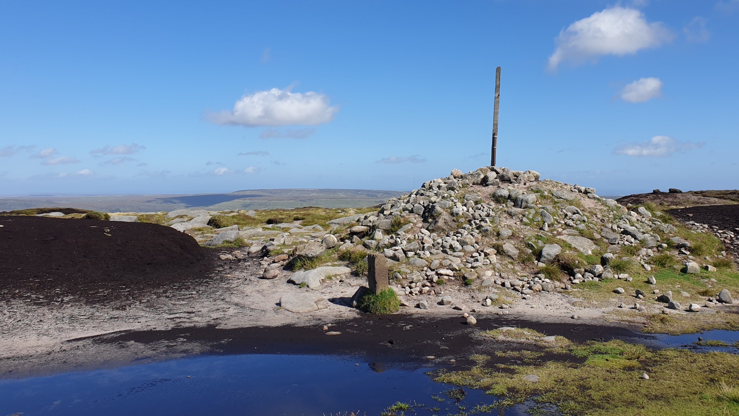
Bleaklow Head
©gritstoneedge.co.uk
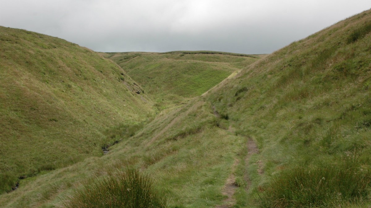
Route up Doctors Gate
©gritstoneedge.co.uk
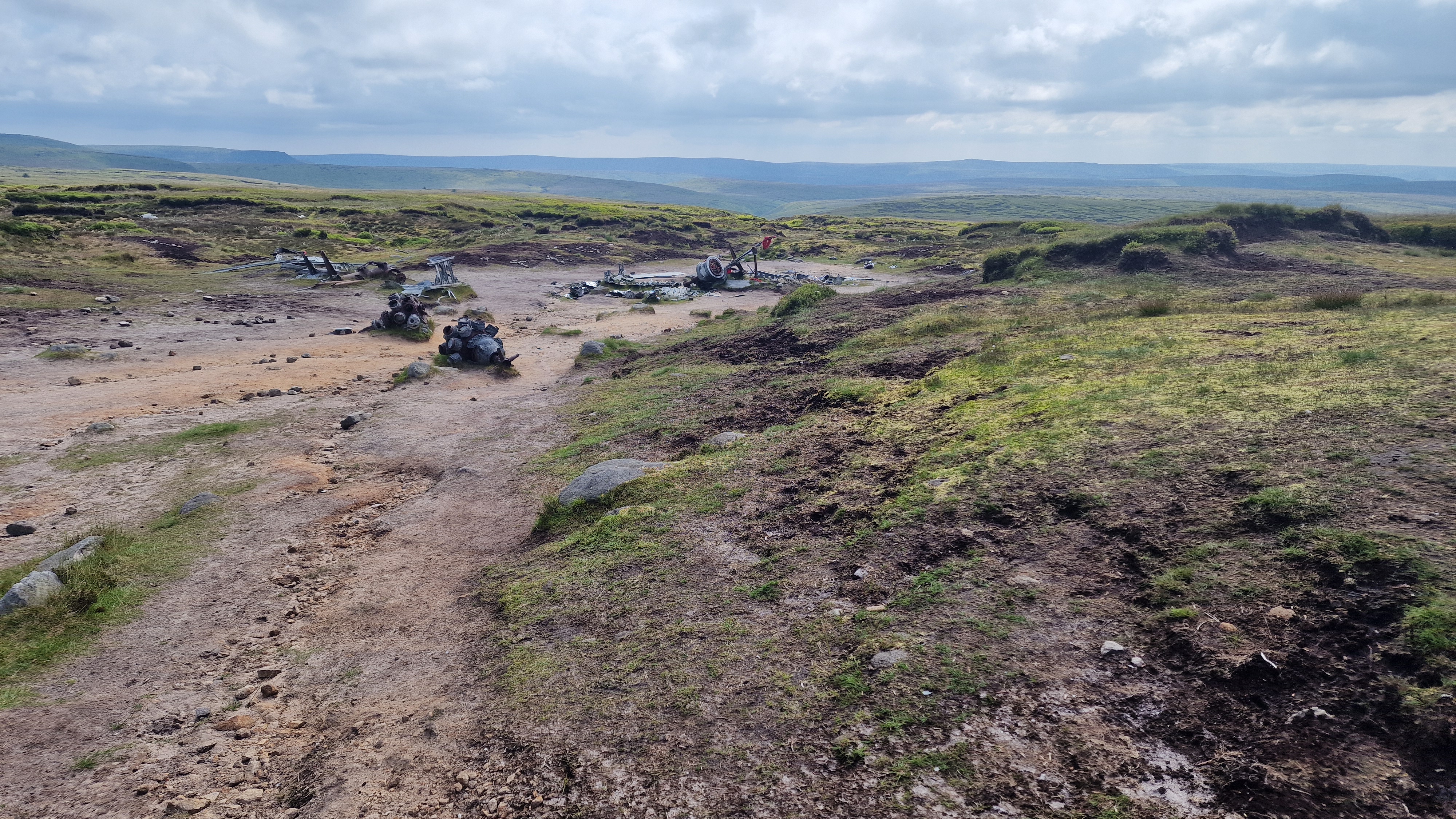
Aircraft wreck on Higher Shelf Stones
©gritstoneedge.co.uk
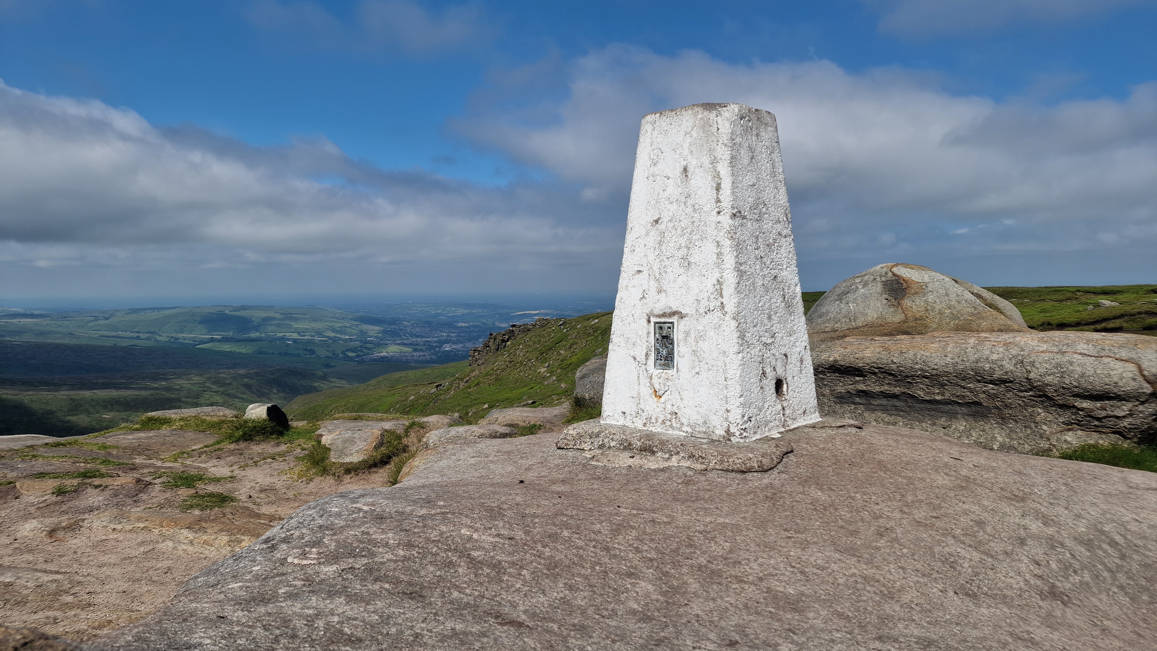
Higher Shelf Stones Trig Point.
©gritstoneedge.co.uk
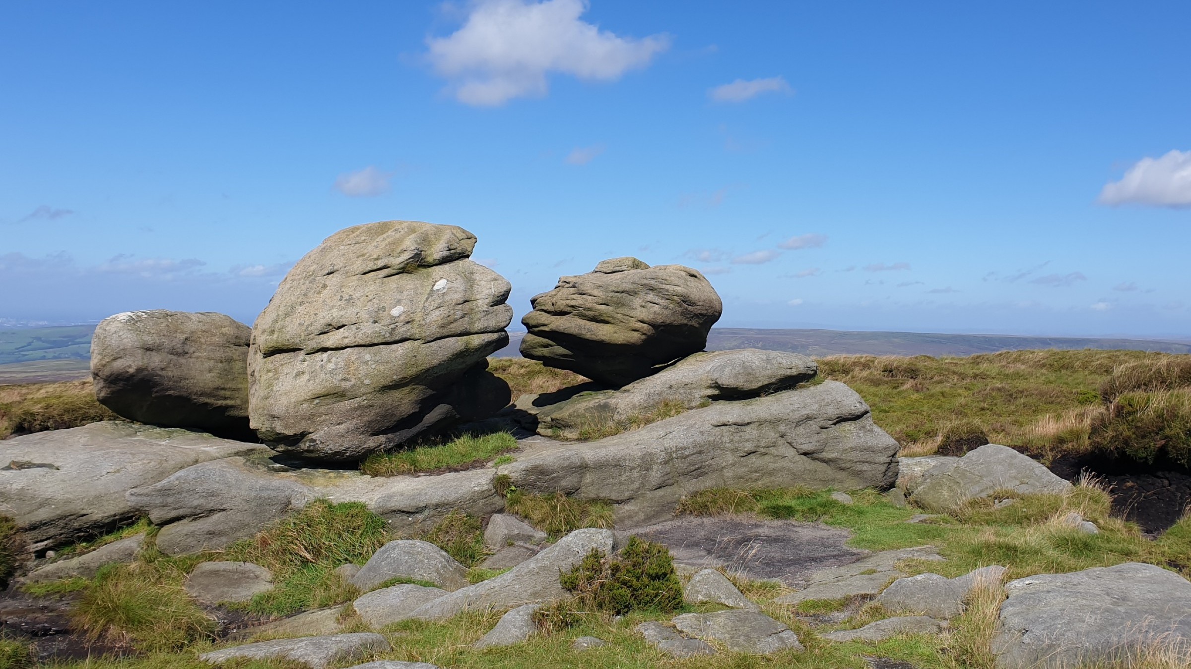
Rocks at Higher Shelf Stones.
©gritstoneedge.co.uk
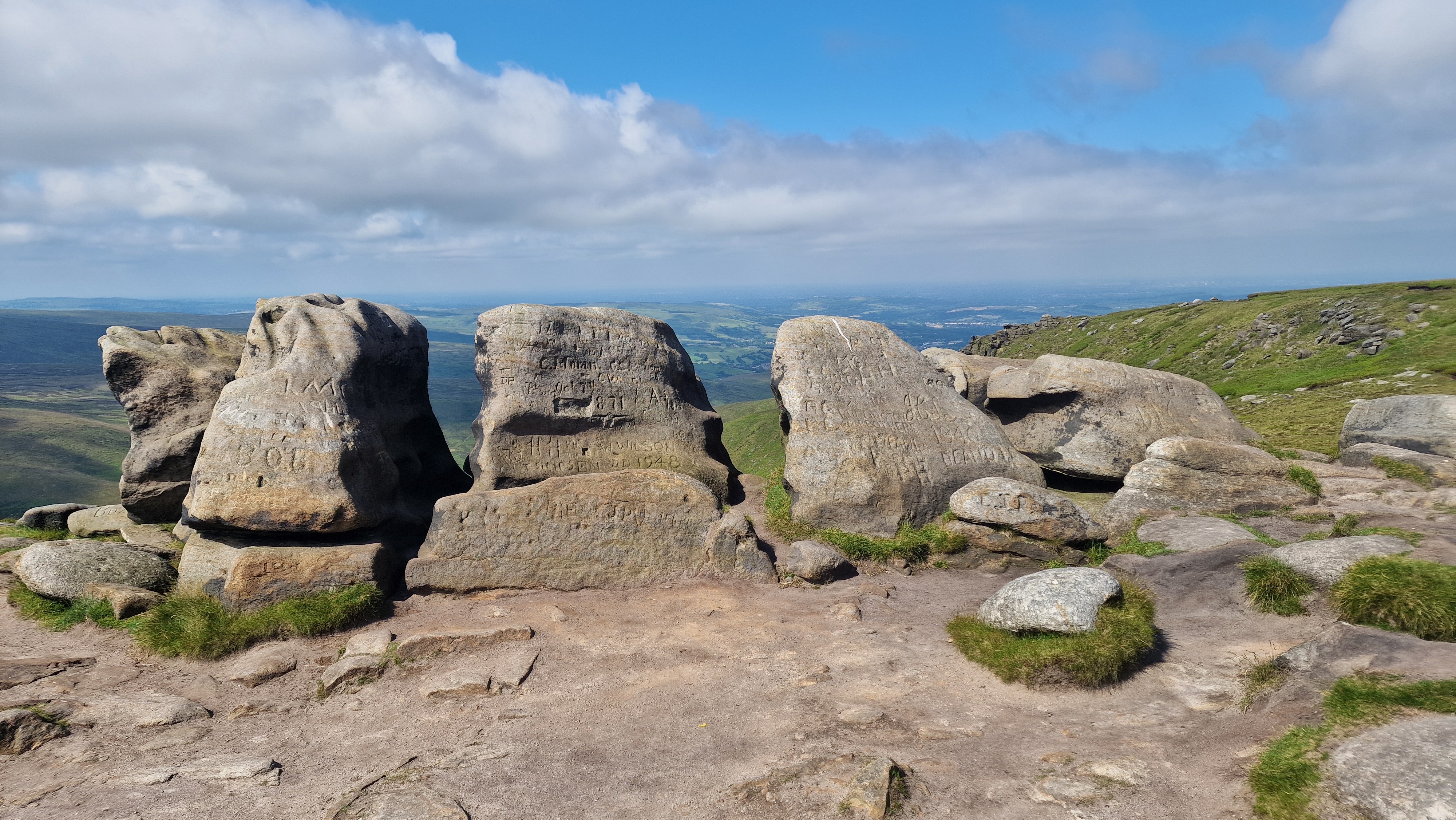
Hern Stones.
©gritstoneedge.co.uk
Hern Stones over to Bleaklow Head.
©gritstoneedge.co.uk
Wain Stones
©gritstoneedge.co.uk
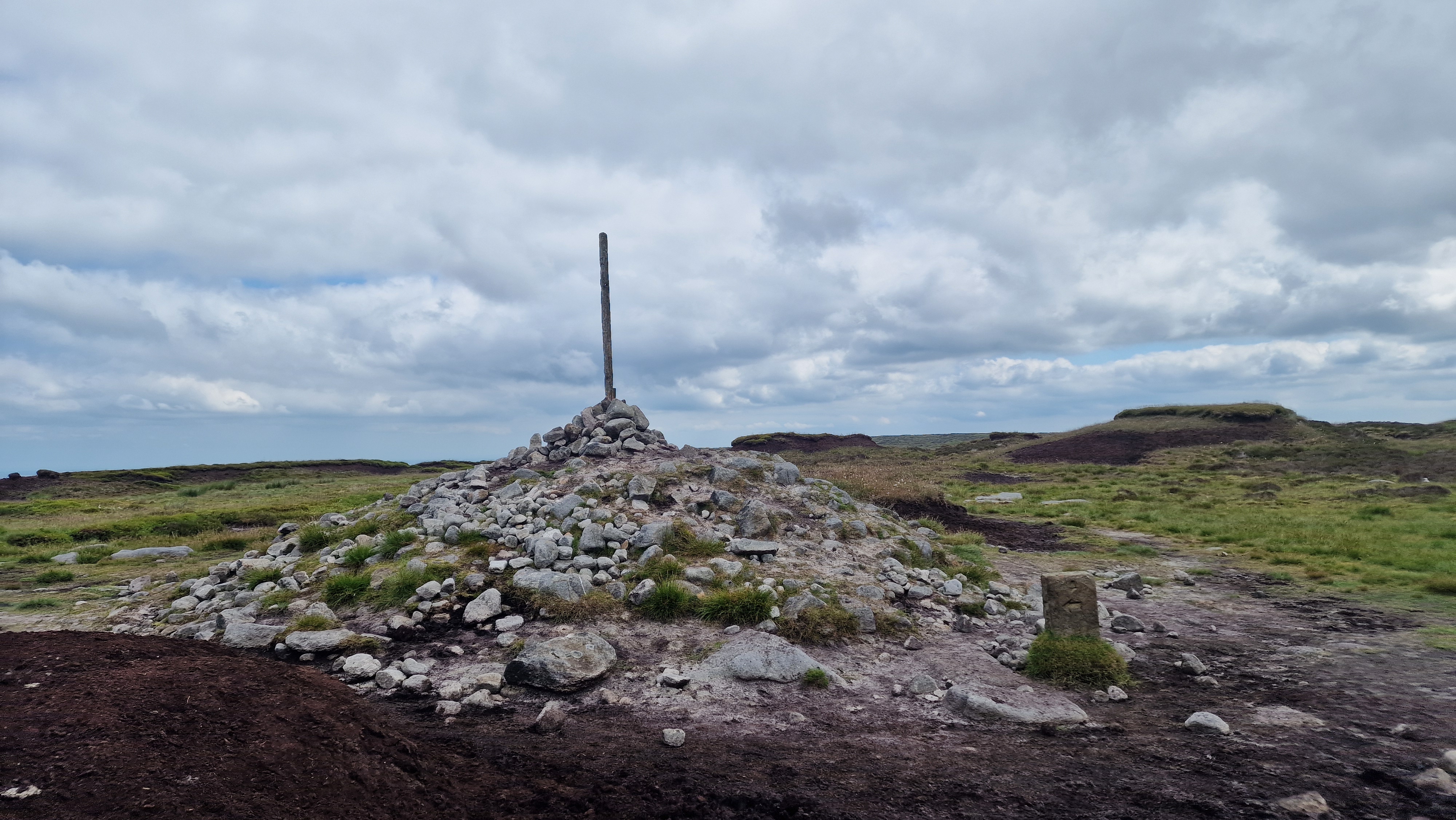
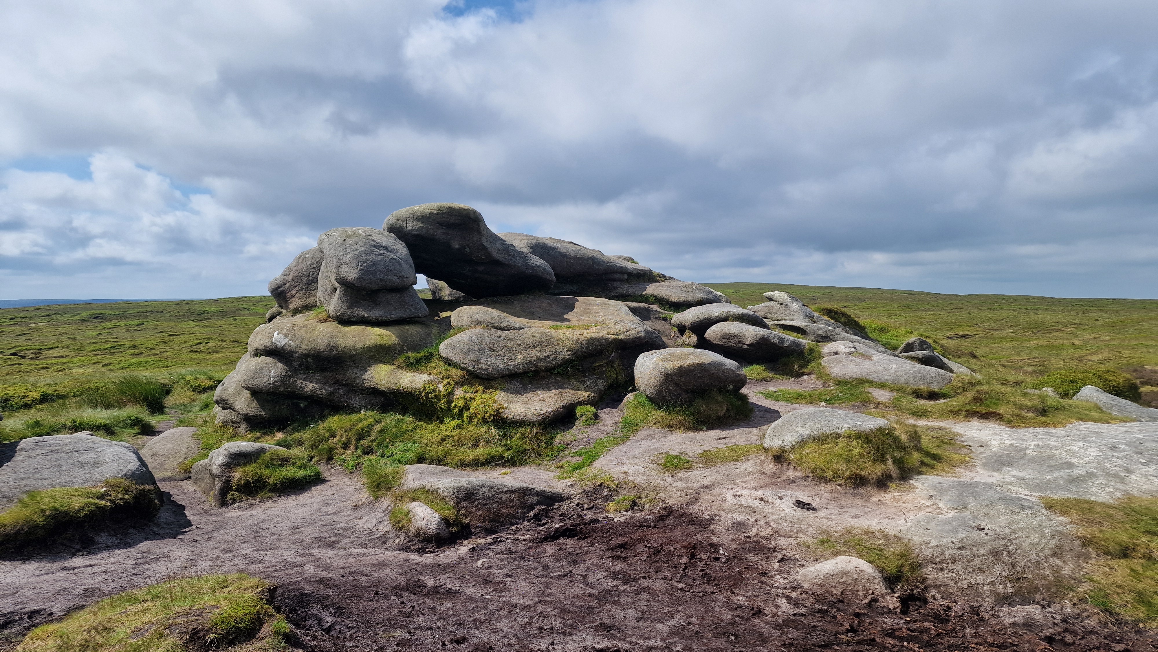
Bleaklow Head - Then.
©gritstoneedge.co.uk
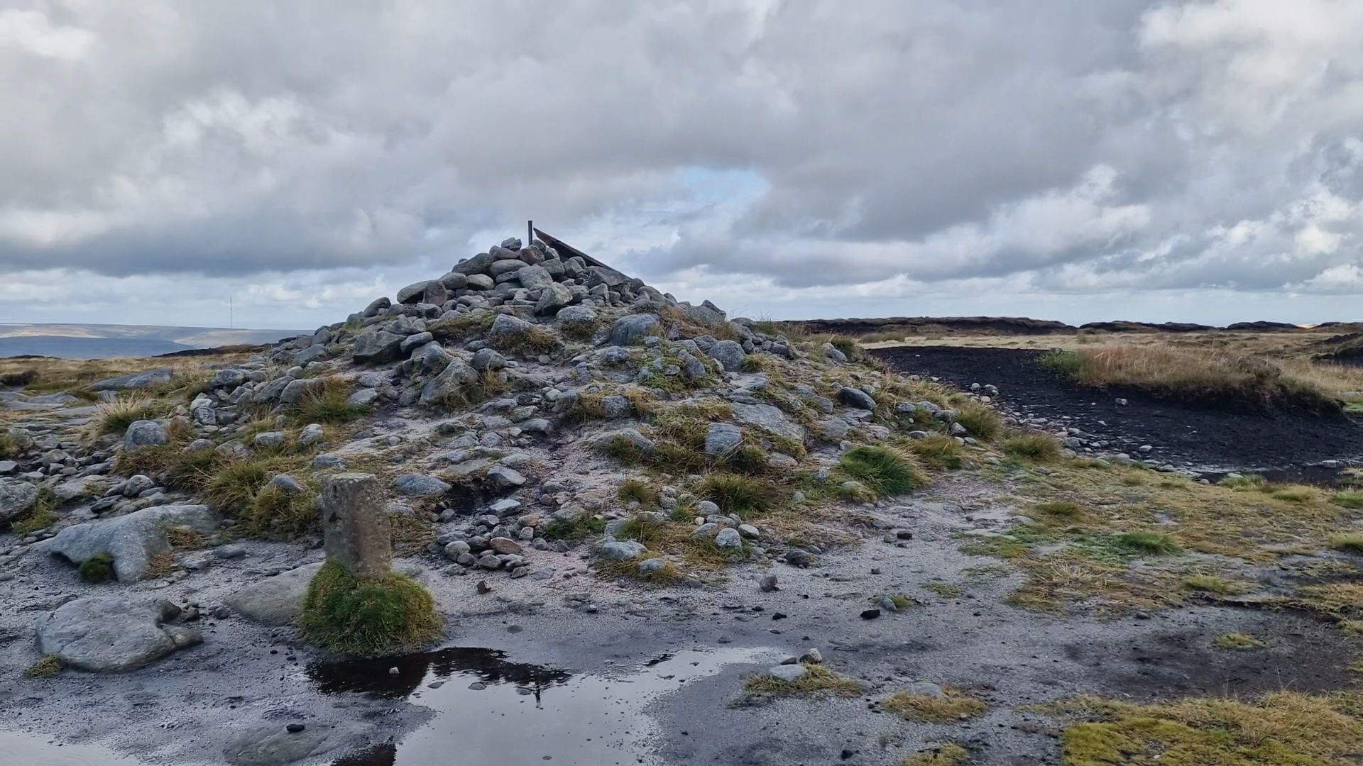
Bleaklow Head - Now.
©gritstoneedge.co.uk
View over to Kinder
©gritstoneedge.co.uk
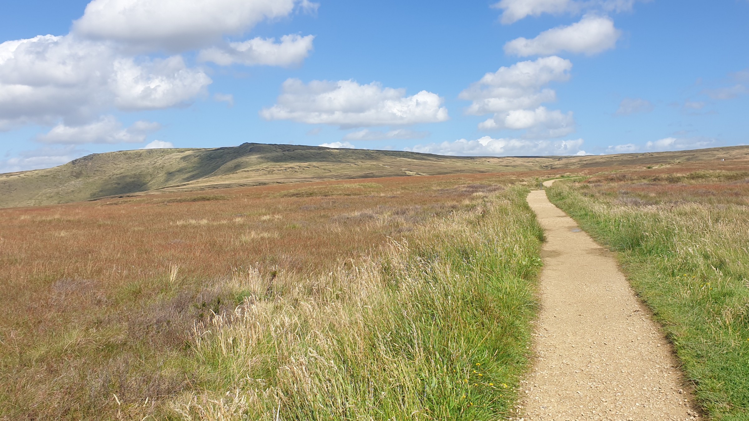
Looking up to Higher Shelf Stones.
©gritstoneedge.co.uk
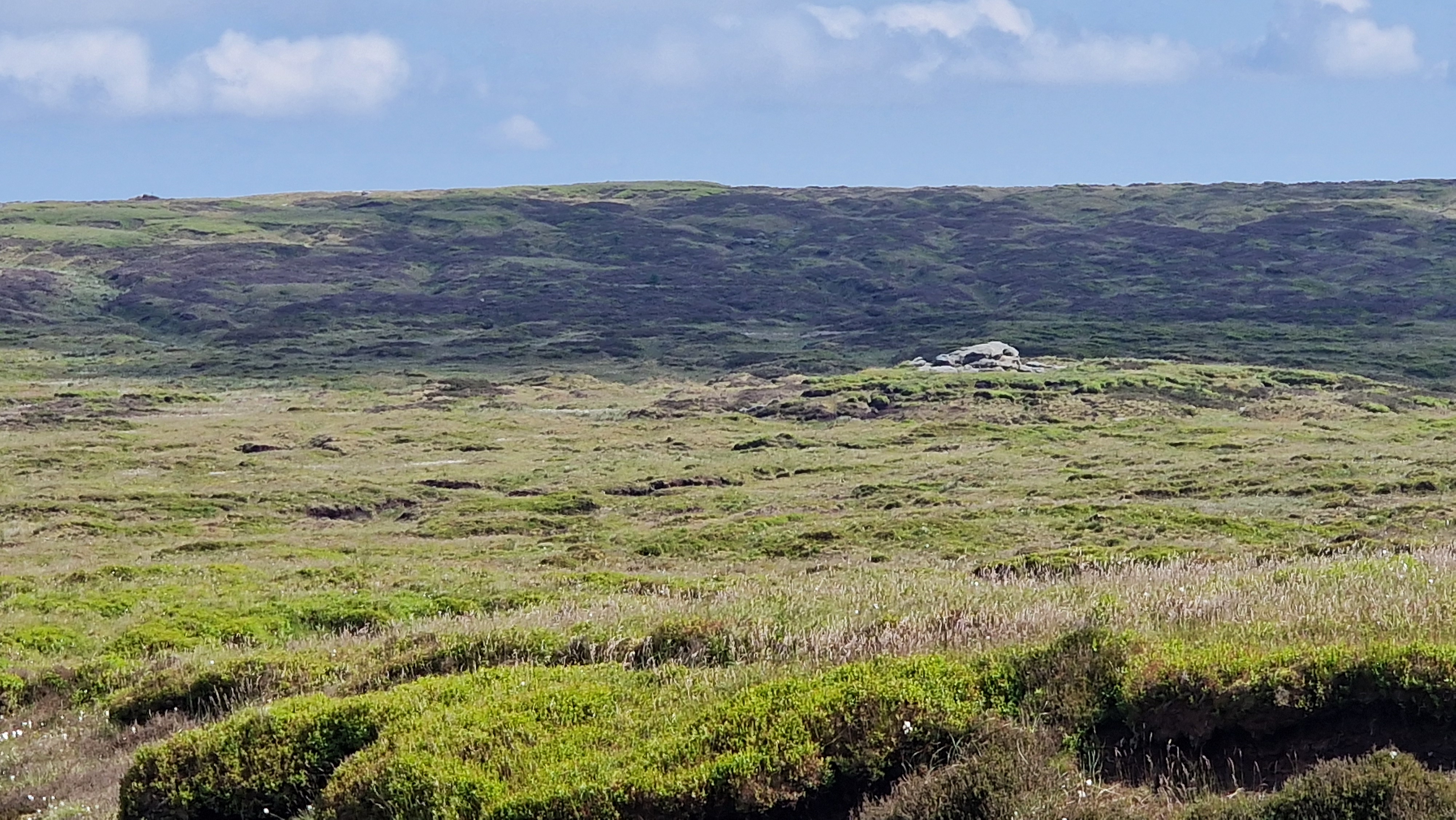
On the way to Bleaklow Hill.
©gritstoneedge.co.uk
Glossop
Current Weather
Last Updated today at : 07:55:45
| Overall : | scattered clouds |
| Temperature : | 9degC. |
| Wind Speed : | 9km/hr. |
| Wind Direction : | S |
| Clouds : | scattered clouds |
| Precipitation : | none |
| Sunrise : | 07:22:07 |
| Sunset : | 16:21:13 |
| : | Times are GMT add 1 hour for BST |
Data from openweathermap.org
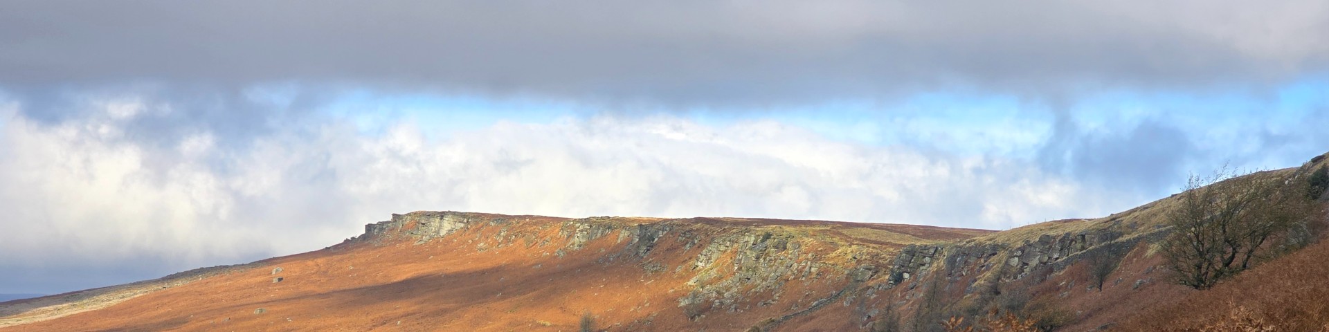
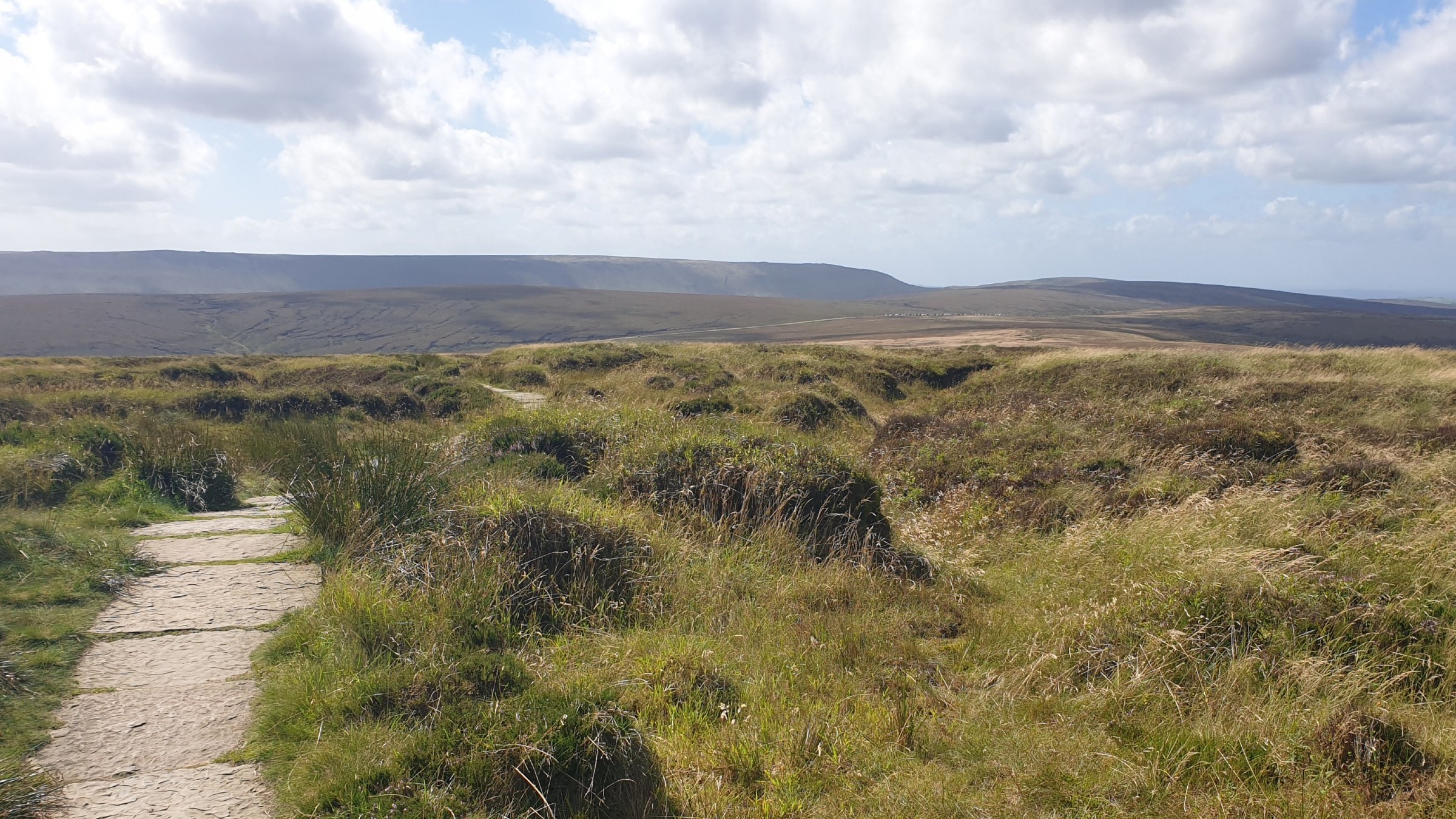
Bleaklow is a vast desolate moorland area between the A57 (Snake Pass) and the A628 (Woodhead Pass). The area around Bleaklow Head is the high point of this plateau, but is not much higher than the surrounding area. The Pennine Way cuts across Bleaklow and this route has the Pennine Way at the core. The route takes in Higher Shelf Stones, Bleaklow Head, Bleaklow Hill and Bleaklow Stones. In an attempt to improve Bleaklow much environmental work has been carried out. Gone are the vast swathes of dark exposed and eroding peat - now much of the area has good quality green grass. This has hidden many paths making this an area to explore again.


