Outer Edge from Derwent
| Hill Summit : | Outer Edge[SK177970, 541m.] |
| Start : | Kings Tree Kings tree is at the end of the road along the Upper Derwent Valley[SK169950 270m ] |
| Summary : | Kings Tree - Slippery Stones - Cut Gate - Outer Edge - Crow Stones - Rocking Stones - Crow Stones Edge - Bull Stones - Cut Gate - Slippery Stones - Kings Tree |
| distance : | 8.5km. |
| ascent : | 290m. |
| time : | 3hr. 10min. |
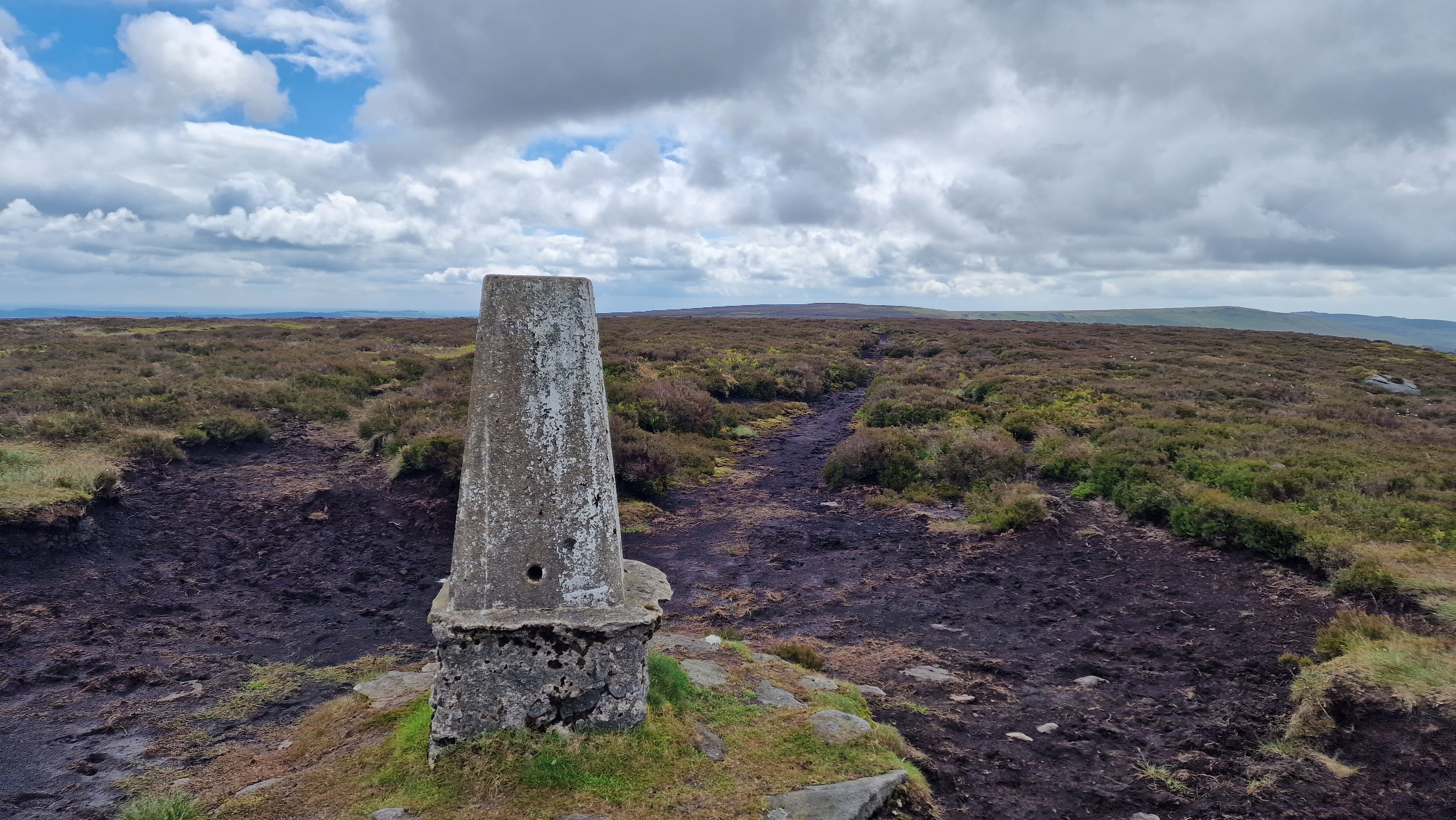
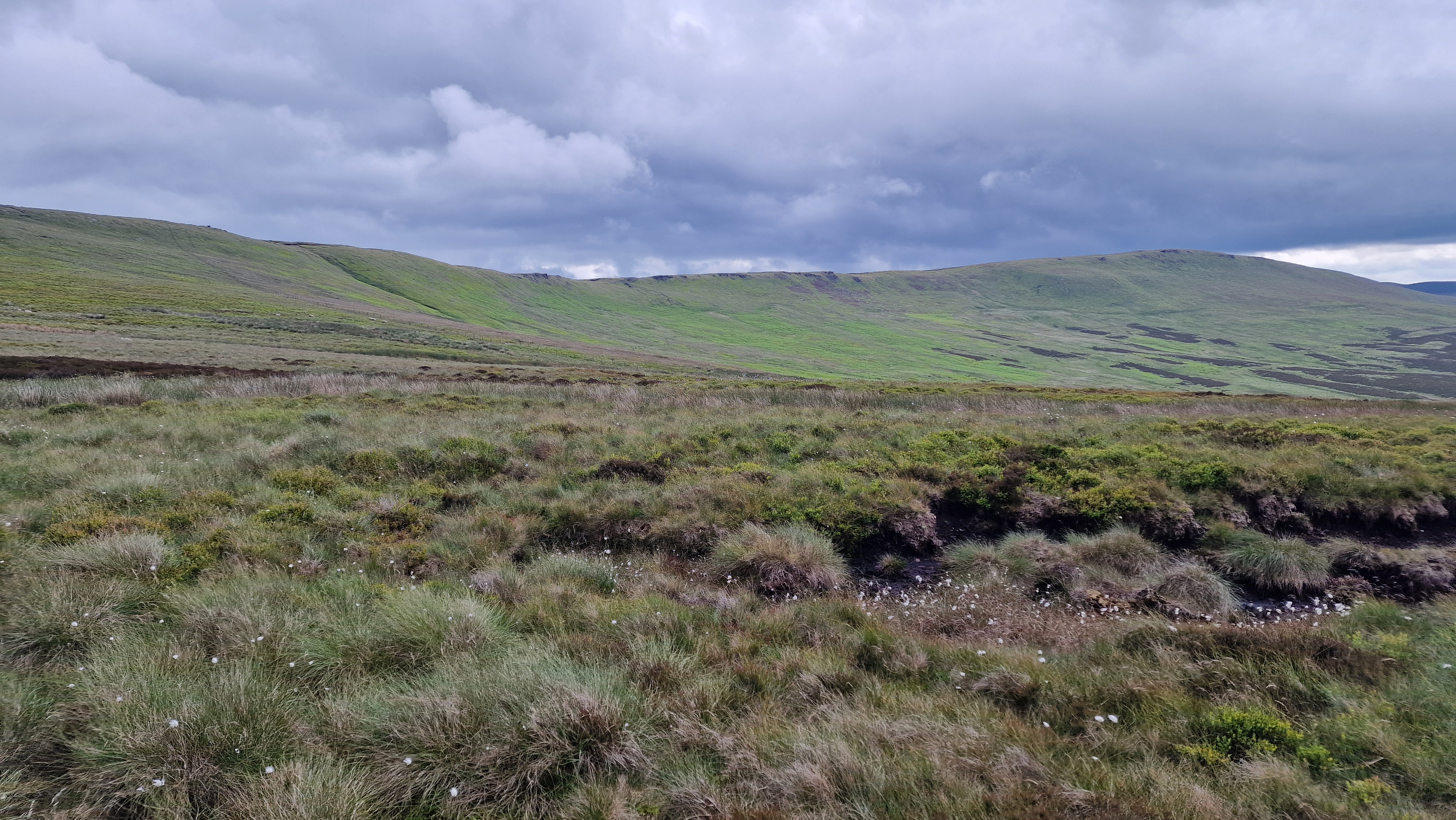
Cut Gate is the pass from the Derwent Valley all the way over to Langsett. To the north of this pass is set Outer Edge, which is a typical Peak District moorland, often pathless and boggy. The hill is not busy and the walker gets a sense of remoteness albeit only a few kilometres from the Woodhead Road. This route climbs Outer Edge from Cut Gate, and then explores the various rocky areas below the edge including Crow stones and Bull Stones. The views down the Uper Derwent Valley from Outer Edge are excellent so pick a day with good visibility for this walk.
Sheffield
Current Weather
Last Updated today at : 08:43:32
| Overall : | overcast clouds |
| Temperature : | 10degC. |
| Wind Speed : | 17km/hr. |
| Wind Direction : | NE |
| Clouds : | overcast clouds |
| Precipitation : | none |
| Sunrise : | 05:34:10 |
| Sunset : | 18:43:42 |
| : | Times are GMT add 1 hour for BST |
Data from openweathermap.org
From the end of the road at Kings Tree, walk up the good track to slippery stones where the river is crossed by the packhorse bridge. Then follow the track up the Upper Derwent Valley to reach the start of the Cut Gate path at Cranberry Clough. Follow the Cut Gate bridleway initially alongside the river then steeply up the hillside. Soon the angle relents, and it is a less steep walk to the skyline. There are a number of cairns at the top of this pass. Walk to the high point then make northwards to Outer Edge. There is a path marked on the map over the moorland, but in reality it is difficult to follow due to the wet terrain, especially at the start from Cut Gate. Soon the trig point of Outer Edge comes into view; make straight to the trig point. Look around at the summit with the views east over to urban Barnsley and Sheffield; south down to Margey Hill, High Stones and the Derwent Edge; west over to Bleaklow and north to see the trucks on the Woodhead Road. (4.5kms. 270m. 1hrs. 50min.)
The route now explores the interesting rock formations west of Outer Edge. First follow the thin but distinct path west to Crow Stones. These are extensive rocks. It is worth climbing down to see the full extent of these rocks. Below Crow Stones are Rocking Stones that are higher, they rise to some 20m in height and are extensive. Walk or climb back up to the top of Crow Stones. Now turn south along Crow Stones Edge making sure that you take in the views here. Continue south past some grouse butts to reach the track up Broadhead Clough. Turn briefly downhill to reach the path that goes south to Bull Stones. Once at Bull Stones again walk around to take in the interesting stone structures. There are extensive views down the Derwent valley. From the top of Bull Stones, at the furthest south there is a path, not marked on the OS maps. Follow this path as it contours around to Cut Gate which it meets at a large cairn. Follow the Cut Gate path downhill to the valley floor, over the bridge at Slippery Stones and back to Kings Tree. (4.0kms. 20m. 1hrs. 20min.)
17th June 2024 This was an overcast day but turned sunnier giving great views once Outer Edge was reached. The rocks at Crow Stones, Rocking Stones and Bull Stones are much more significant than they appear from a distance. Indeed the height of Rocking Stones can support some decent rock climbing. Nobody about in the hills this day.
31st March 2021 Walked this route in the opposite direction to that described. It is equally enjoyable either way. It was a warm spring day and a pleasant walk. Even on such a day with many people about there was nobody on the moors, and just a few over cut gate. After such a long time between visits to this area of the Peak District the rock shapes seem much more interesting.
© gritstoneedge.co.uk all rights reserved 2015-2025


