Black Hill from Crowden

This way to Black Hill.
©gritstoneedge.co.uk
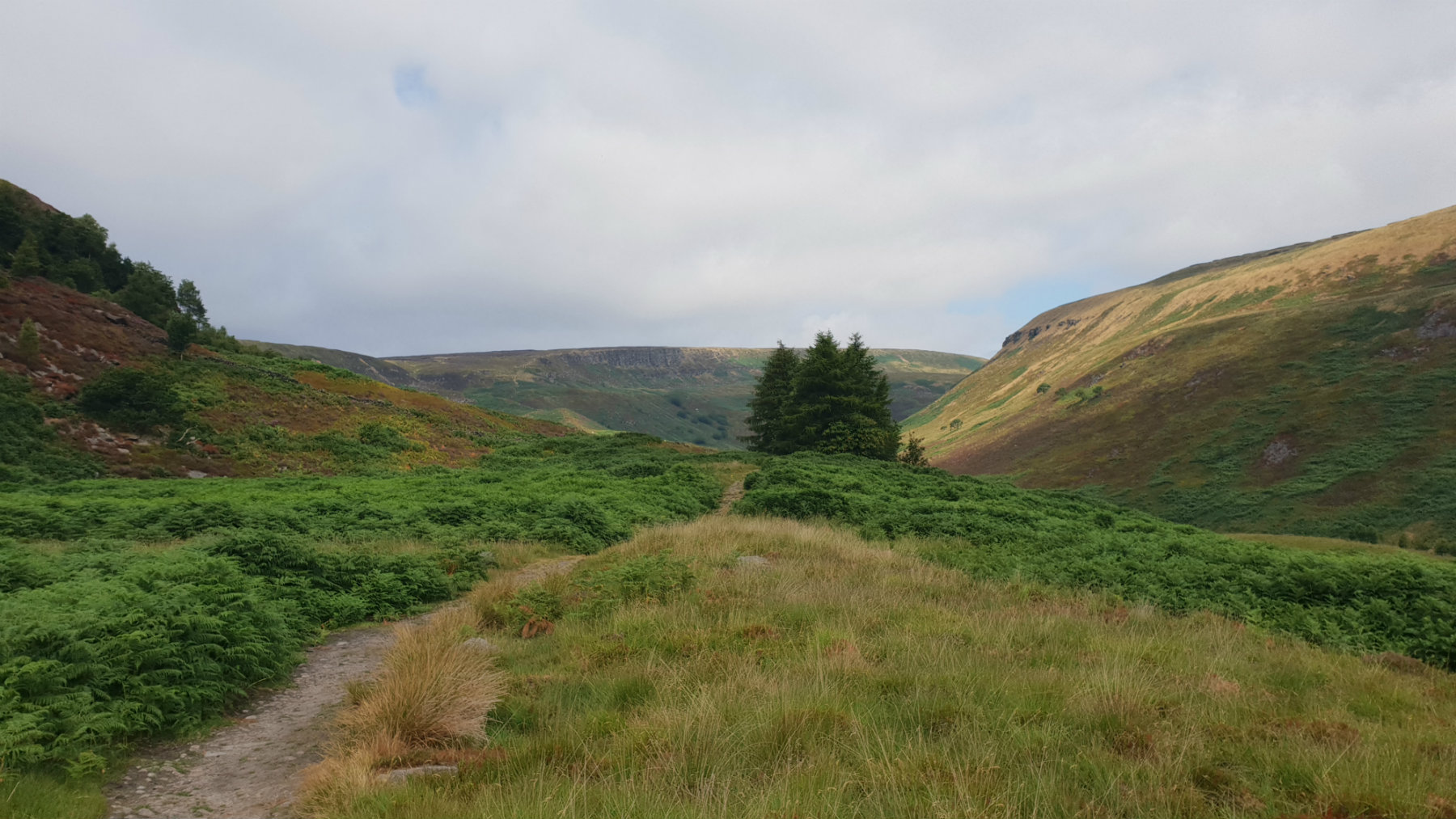
Way up the valley.
©gritstoneedge.co.uk

Looking down to Laddow Racks.
©gritstoneedge.co.uk

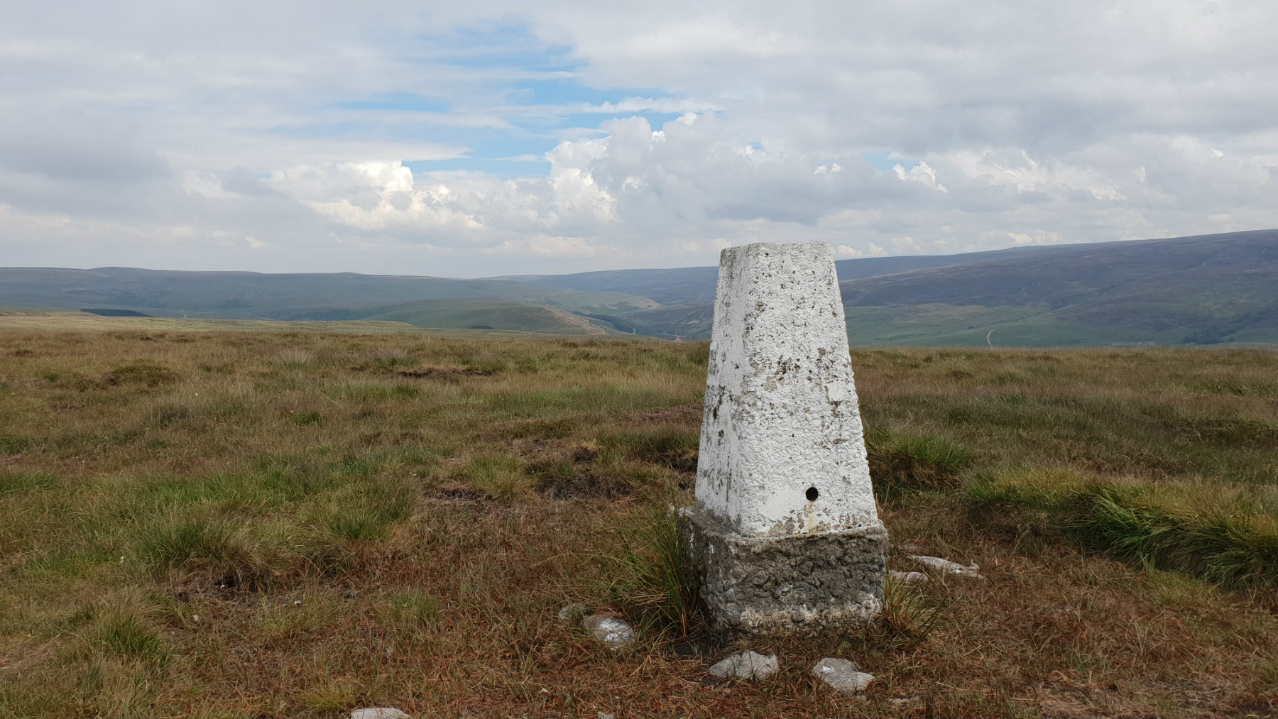
Soldiers Lump (The top).
©gritstoneedge.co.uk
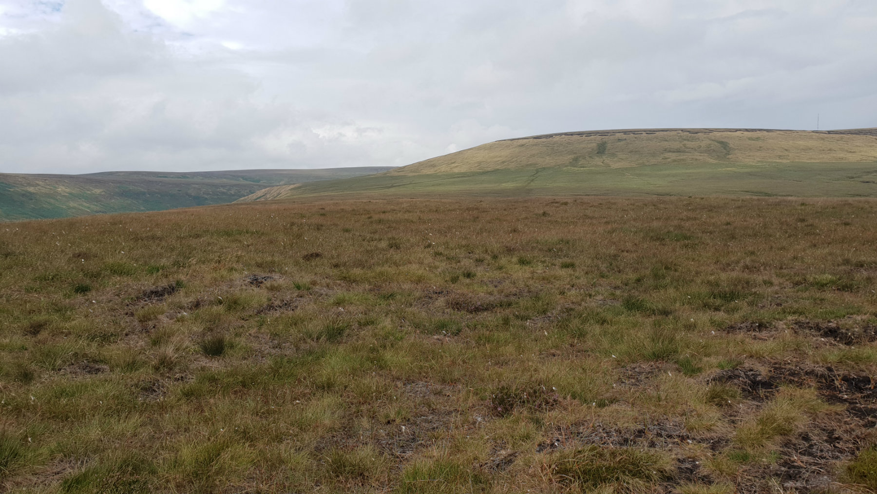
Hey Moss Trig.
©gritstoneedge.co.uk
Looking back towards Black Hill.
©gritstoneedge.co.uk
| Hill Summit : | Black Hill[SE078047, 582m.] |
| Start : | Crowden Car Park The start of the walk is at Crowden. There is a good sized car park just of the A628 at Crowden.[SK072994 207m ] |
| Summary : | Crowden - Pennine Way - Oaken Clough - Crowden Great Brook - Soldiers Lump - Tooleyshaw Moss - Westend Moss - Hey Moss - Crowden |
| distance : | 13.0km. |
| ascent : | 440m. |
| time : | 4hr. 40min. |
Black Hill has a reputation as a wet boggy hill and indeed in wet weather you can expect this, a typical Peak District Experience. Black Hill is on the Pennine Way and this path is much improved over the years making this a pleasant walk especially in the summer. Once away from the Pennine Way the return ridge is often empty of people, no crowds just you in the hills. The ascent is dominated by Laddow Rocks, a gritstone edge set high up this hill.
Crowden
Current Weather
Last Updated today at : 06:26:50
| Overall : | broken clouds |
| Temperature : | -3degC. |
| Wind Speed : | 6km/hr. |
| Wind Direction : | SSW |
| Clouds : | broken clouds |
| Precipitation : | none |
| Sunrise : | 07:44:47 |
| Sunset : | 16:02:37 |
| : | Times are GMT add 1 hour for BST |
Data from openweathermap.org
Leave the car park and walk up towards the camp site, on the left, and some significant barns, on the right. Through the gate and follow the road which climbs the hill side to get to a signpost indicating the Pennine Way. This is followed to the summit. The route first contours around the east side of the ridge, through a gate, and onto Oaken Clough. Here the path climbs to the top of Laddow rocks and makes it's way along the top of these crags, perhaps missing the best view of them which is gained lower down. The route continues along at this level to meet Crowden Great Brook. Again the Pennine Way is a good path that is followed to the summit of Black Hill, Soldier's Lump. This trig point does not look like the true summit of the hill so wander about to make sure you are at the top. (7.0kms. 340m. 2hrs. 50min.)
It is possible to return by the same way but a shorter and more interesting way is to follow the eastern ridge down. From Soldier's Lump the path is indistinctive and a bearing may be in order to make sure you are on the correct path is a good idea. Follow this path over the typical Peak District moorland. This can often be wet and the paths not as good as the Pennince Way. But you are likely to be alone on the hillside. Walk over Tooleyshaw Moor, then onto Westend Moss and to Hey Moor. A visit to the pillar is a good idea - this is a trig point despite the description and lack of symbol on maps. Just before the quarry find a way down to the main path to the west and then down to the valley. Descending through the quarry as marked on the OS map is not a good idea. From the valley the path then road leads back to the car park. (6.0kms. 100m. 2hrs. 0min.)
25th July 2018 Summer 2018 has been exceptionally dry and this was a good opportunity to do this walk. The streams were flowing but not full so the many fords marked were just a simple step over. The moorland was bone dry; exceptionally no need for gaiters. The Pennine Way route is quite busy but there was nobody on the return route. Soldiers Lump trig point had been newly painted, white, and now stands out significantly from the surroundings.
Use this link to view all the external gritstoneedge.co.uk resources.
 gritstoneedge linktr.ee
w : https://www.gritstoneedge.co.uk
e :
 gritstoneedge Blog
 gritstoneedge instagram
 gritstoneedge YouTube channel
 gritstoneedge Podcast
Disclaimer :This site has links to many adventures in the outdoors, walking or cycling in hills and moors, within the UK. These can be dangerous activities. Conditions can change rapidly in the outdoors. The information and links provided on this site is given in good faith. gritstoneedge.co.uk cannot be held responsible for any loss or injury caused by encouraging you into the outdoors of by the accuracy of the information provided on this site.
© gritstoneedge.co.uk all rights reserved 2015-2024