Shatton Moor
| Start : | Bamford - Mytham Bridge Small road near Bamford Station.[SK205825 144m ] |
| Summary : | Mytham Bridge parking - Shatton - Brough Moor - Shatton Moor - communications mast - Oferton House - Shatton - Parking |
| distance : | 9.5km. |
| ascent : | 300m. |
| time : | 3hr. 20min. |
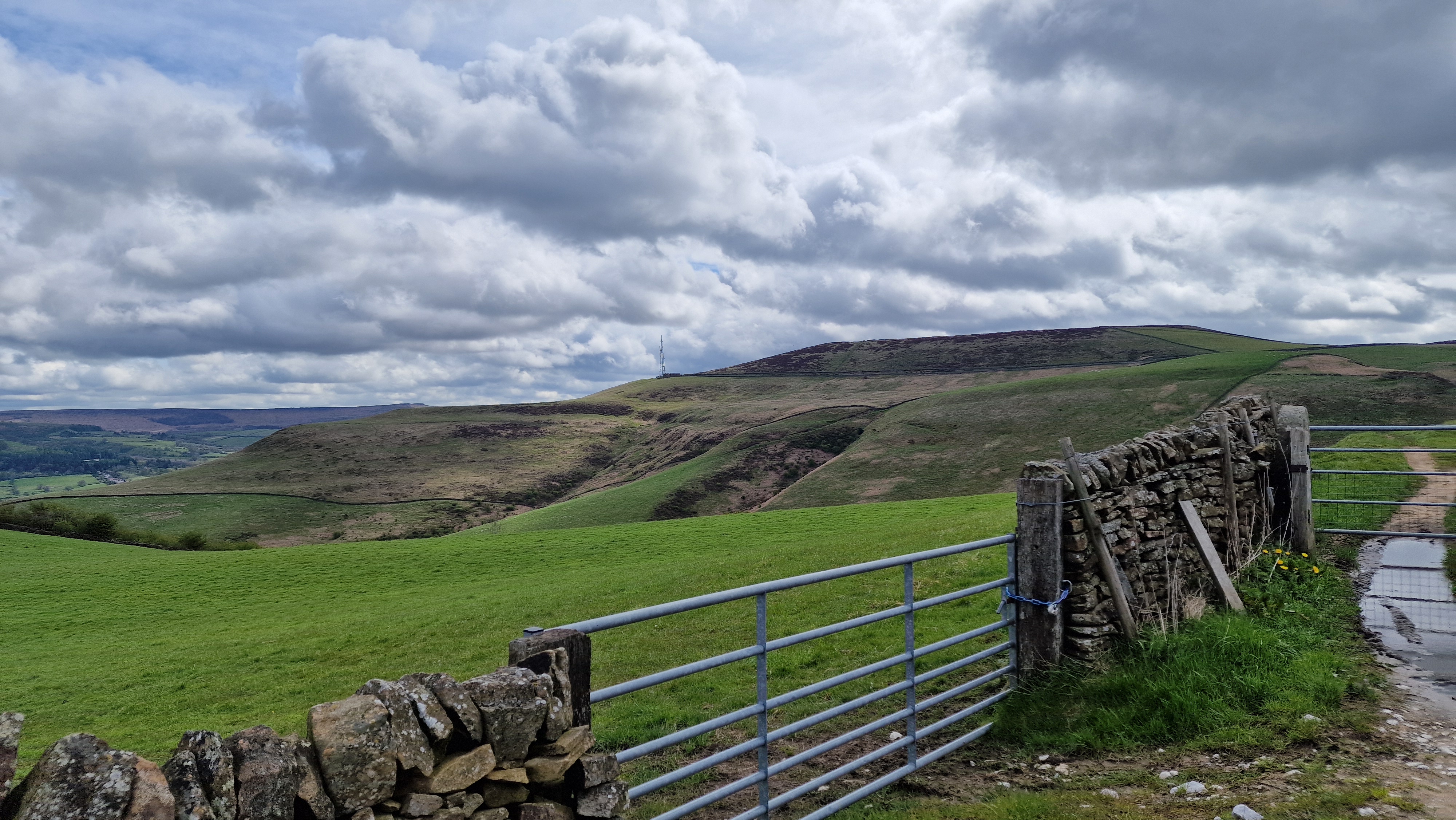
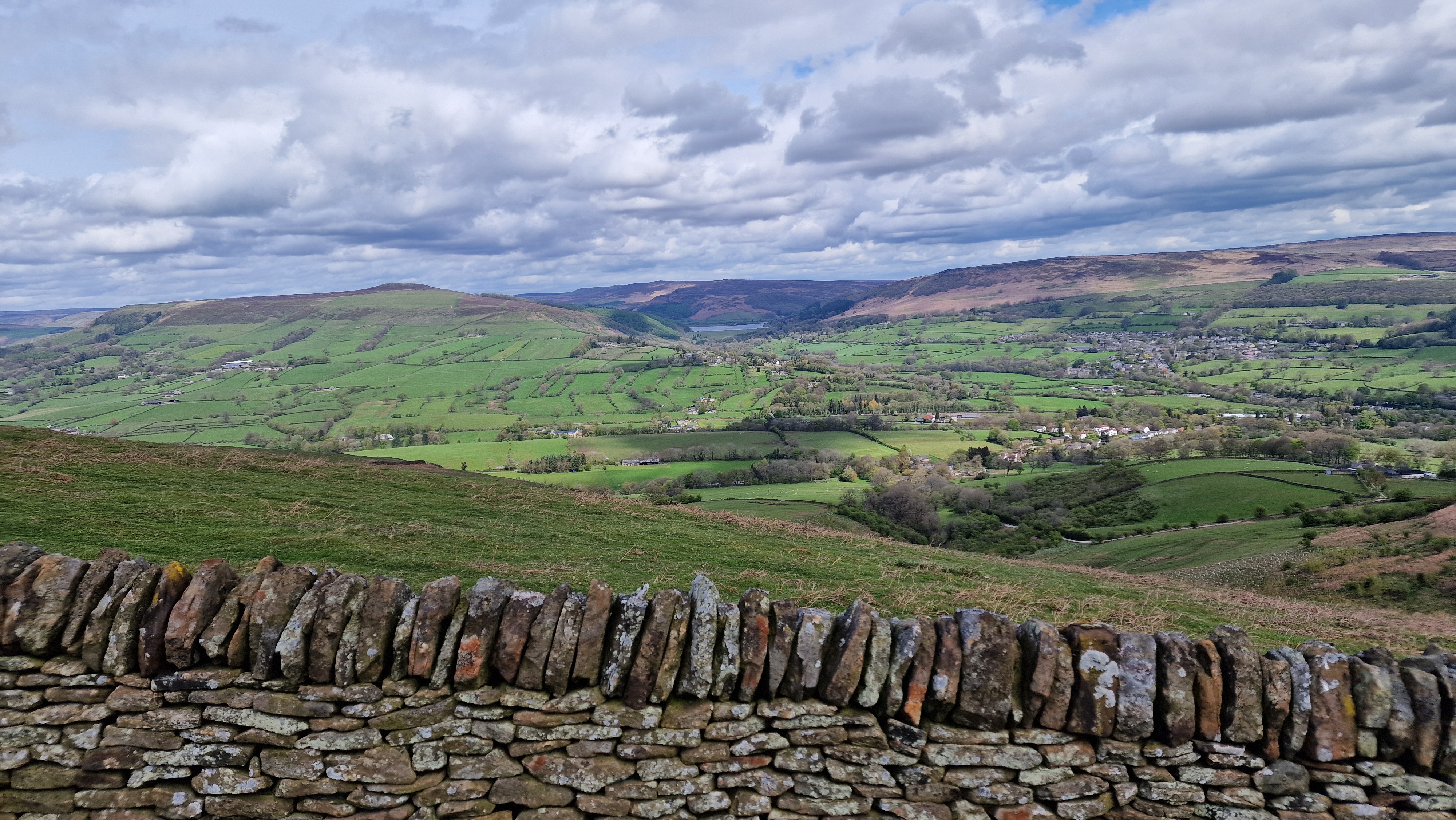
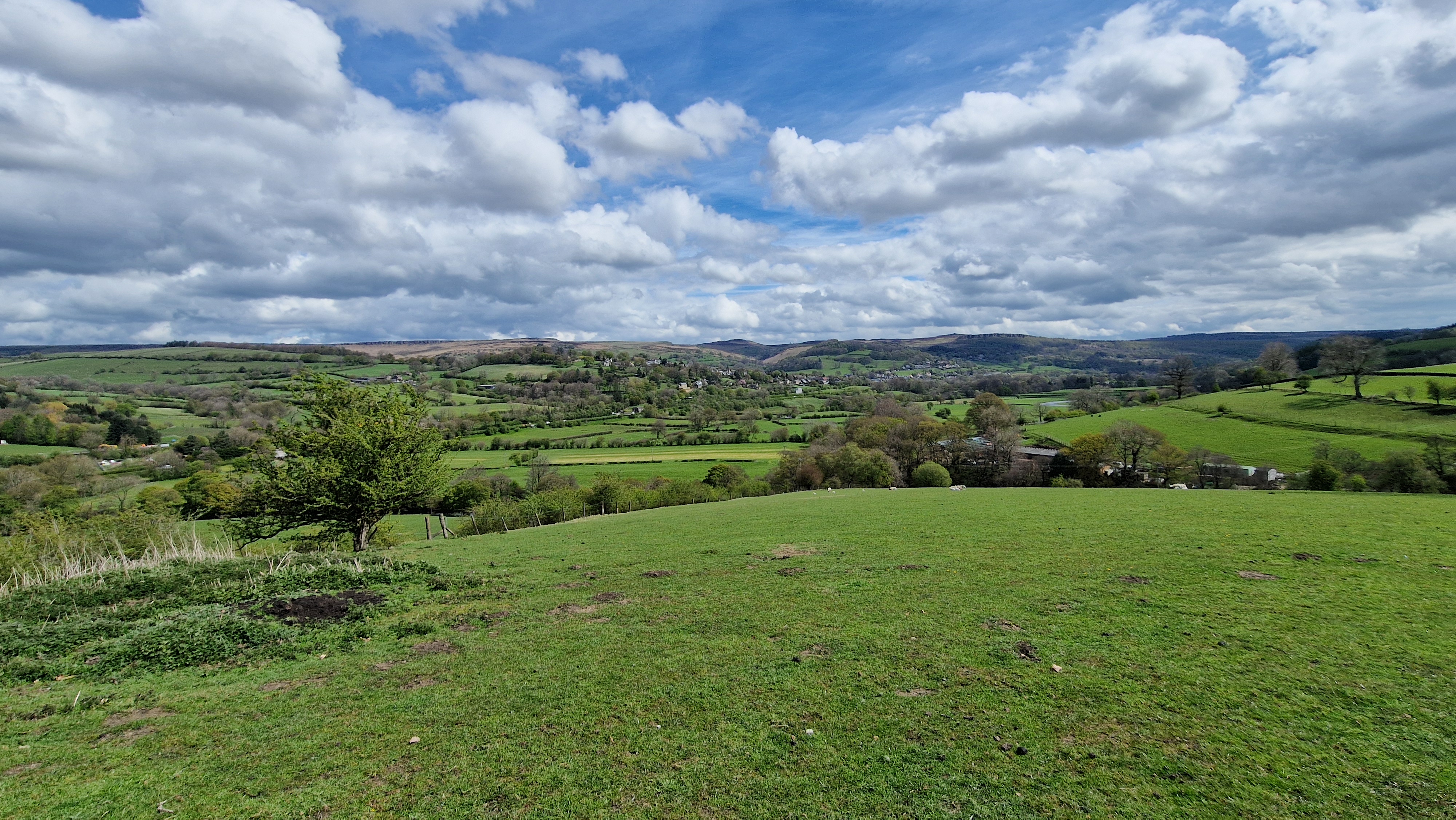
Shatton Moor looks over must of the Hope Valley from Hathersage and around to Bradwell, giving good views with a backdrop of the upper Derwent Valley. The route does not go to the top of the moor but keeps to the tracks around the moor. This makes it suitable for wetter days. Prominent on the side of Shatton Moor is a large communications mast. The route climbs on the tracks to the mast, then descends to Ofterton House and then the river side to return to Shatton.
Bamford
Current Weather
Last Updated today at : 10:19:09
| Overall : | overcast clouds |
| Temperature : | 11degC. |
| Wind Speed : | 9km/hr. |
| Wind Direction : | SSE |
| Clouds : | overcast clouds |
| Precipitation : | none |
| Sunrise : | 04:42:34 |
| Sunset : | 19:26:12 |
| : | Times are GMT add 1 hour for BST |
Data from openweathermap.org
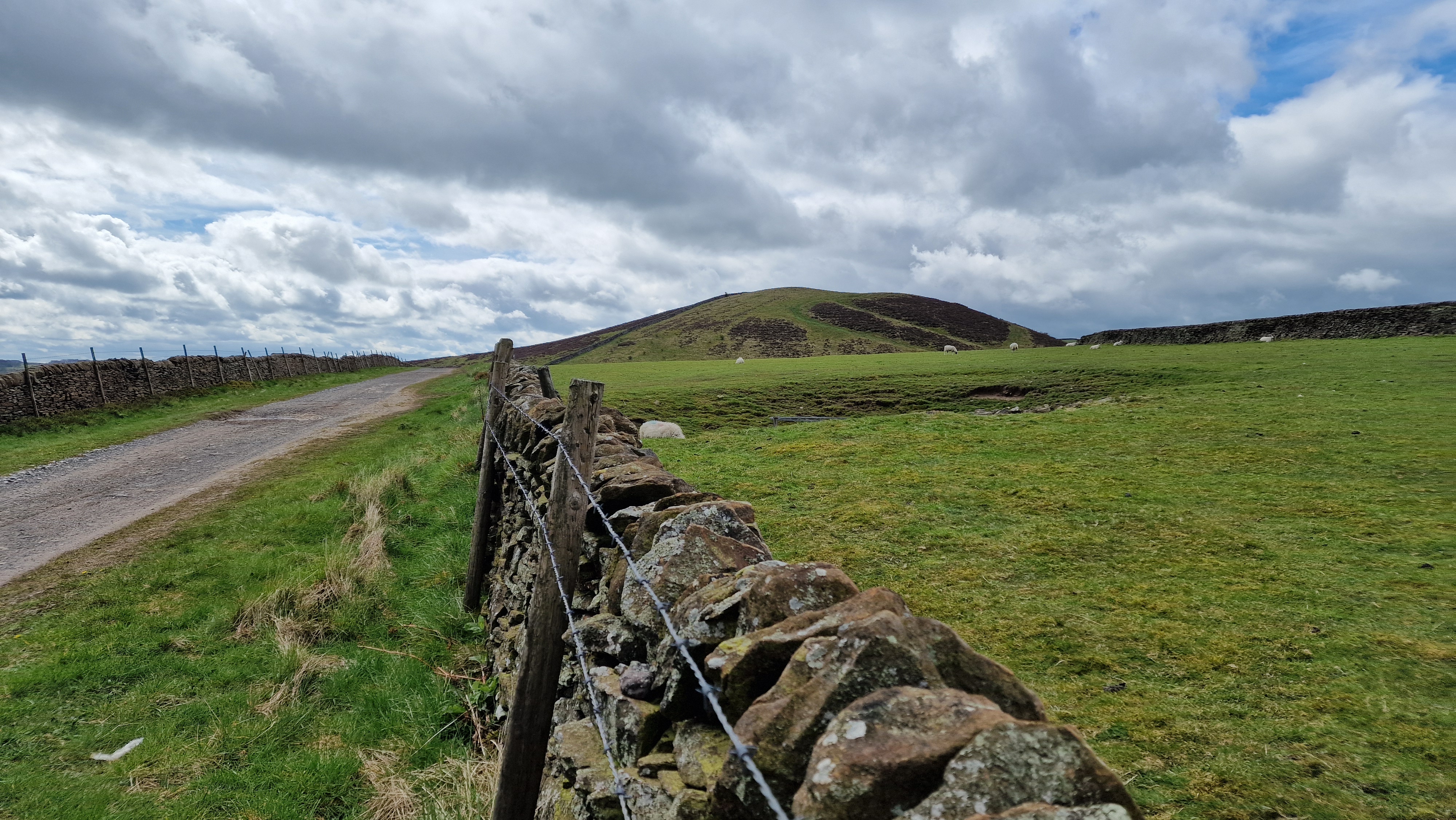
Walk to the end of Mytham Bridge road to cross the river by the footbridge and then follow the footpath alongside the main Hope Valley road to reach the minor road to Shatton village. Cross the road and walk through Shatton Village. Shatton is a particularly picturesque village. At the village centre, follow the road west towards Brough. Just before Brough, take the path on the left to walk towards then trough Elmore Hill Farm, and continue to reach the track. Follow this track uphill over Rebellion Knoll and onto Bradwell Edge. The communications mast is visible and this is where we are headed. Follow the track around the valley head to reach Shatton Edge and onto the communications mast. (6.0kms. 250m. 2hrs. 20min.)
Continue along the track with the views over the Hope Valley villages, to rech the metalled road. Rather than descending by the road, take the footpath that contours around Oferton Moor to reach the track above Offerton House. Follow the track / road down through the housing to descend to the river. Now follow the path along the riverside to reach the main Hope Valley road by Shatton. Cross the road to get to the car. (3.5kms. 50m. 1hrs. 10min.)
29th April 2024 I chose this route as the weather has been wet for the last few months and much of the Peak District was muddy. The walk is on tracks for the most part, which are dry(ish). the weather was sunny so the views over the Hope Valley villages and over to Ladybower were good.
© gritstoneedge.co.uk all rights reserved 2015-2025


