Around Featherbed Moss.
| OS Map : | 110 |
| Start : | Fairholms Car Park. |
| SK173894 | |
| 210 | |
| Fairholms is the large, and busy, car park at the end of Ladybower Reservoir. It lies under Derwent Dam and hence popular. On a busy day get there early. Alternative parking can be found down the road but this adds to the walking. Parking is not free at Fairholms nor at some of the smaller parking spaces up the road. | |
| Summary : | Fairholms - Derwent Reservoir - Nether Hey - High Stones - Featharbed Moss - Back Tor - Lost Lad - Derwent Reservoir - fairholms |
| distance : | 15.0km. |
| ascent : | 390m. |
| time : | 5hr. 10min. |
edale
Current Weather
Last Updated today at : 01:37:11
| Overall : | overcast clouds |
| Temperature : | 13degC. |
| Wind Speed : | 8km/hr. |
| Wind Direction : | SSE |
| Clouds : | overcast clouds |
| Precipitation : | none |
| Sunrise : | 07:15:35 |
| Sunset : | 16:26:12 |
| : | Times are GMT add 1 hour for BST |
Data from openweathermap.org
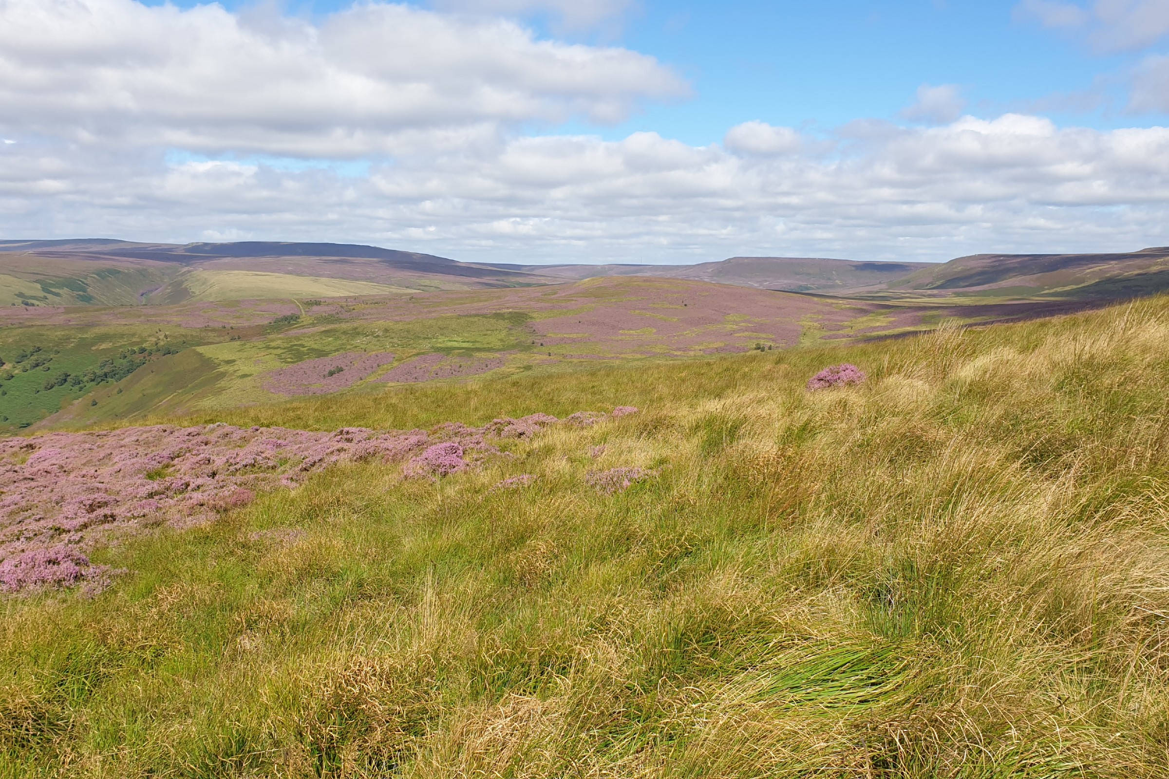
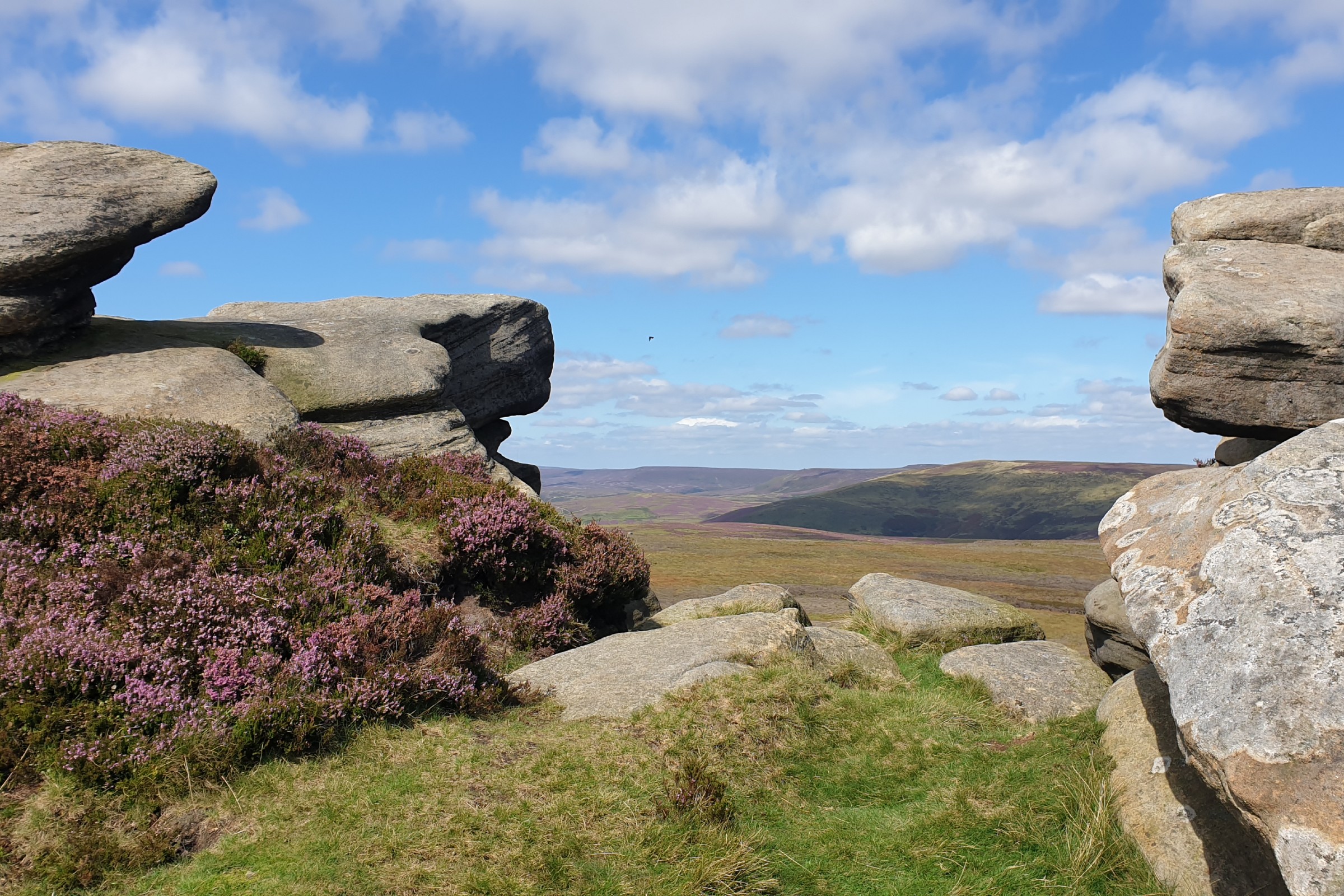
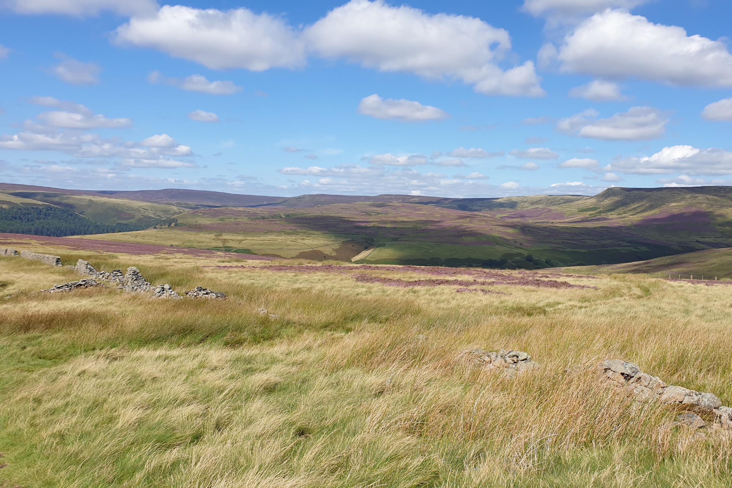
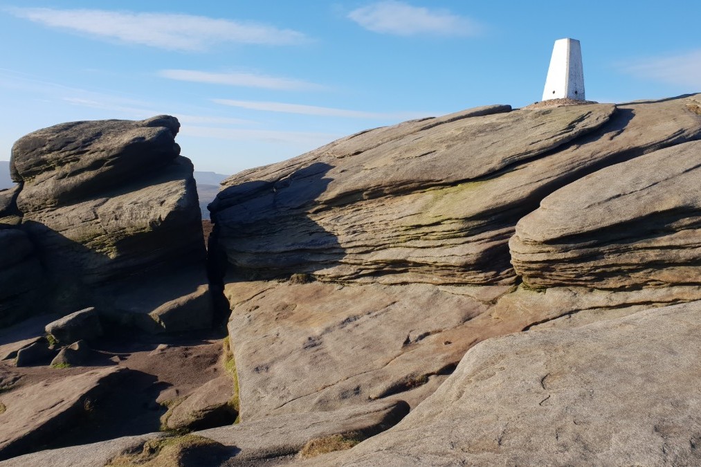
Featherbed Moss, as the name implies should be a wet and boggy area to be avoided. But, due to environmental work done on Bleaklow it is not. Yes after a wet few days it is wet underfoot but not a no go area. This route links the northern and souther sections of the eastern edges of Bleaklow. High Dtones is at the southern edge of the area that includes Outer Edge and Margery Hill. Good views in this direction. Back Tor is at the top of the sothern part that leads from the A57 past many interesting rock formations. The area in between is Featherbed Moss. A massive moorland where the walker will be alone walking over the moors around featherbed Moss. Note that this route follows a path that is shown on the online OS maps, and indeed is a real path, but the printed maps do not show this path that is key to this route. If you wish to get away from it all here is the place to be especially on a sunny day.


