
Kinder - Northern Edges
Kinder - Northern Edges
| OS Map : | 110 |
| Start : | Snake Inn. |
| SK112905 | |
| 321 | |
| The inn is closed now as is their large car park. There are a number of laybys in and around the inn, mainly on east, but they get busy. | |
| Summary : | Snake Inn - Seal Stones - Seal Edge - The Edge - Ashop Head - Snake Path - Snake Inn |
| distance : | 12.5km. |
| ascent : | 450m. |
| time : | 4hr. 30min. |

Bottom of Fair Brook
©gritstoneedge.co.uk
Path up to the edge
©gritstoneedge.co.uk
Fairbrook Naze with Bleaklow behind
©gritstoneedge.co.uk

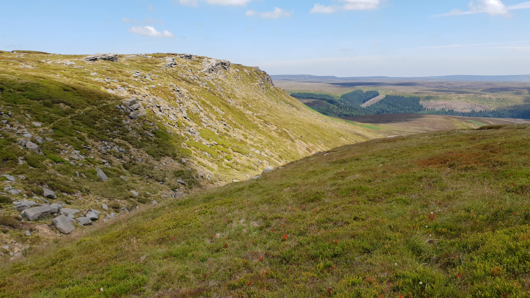
View back along edge
©gritstoneedge.co.uk

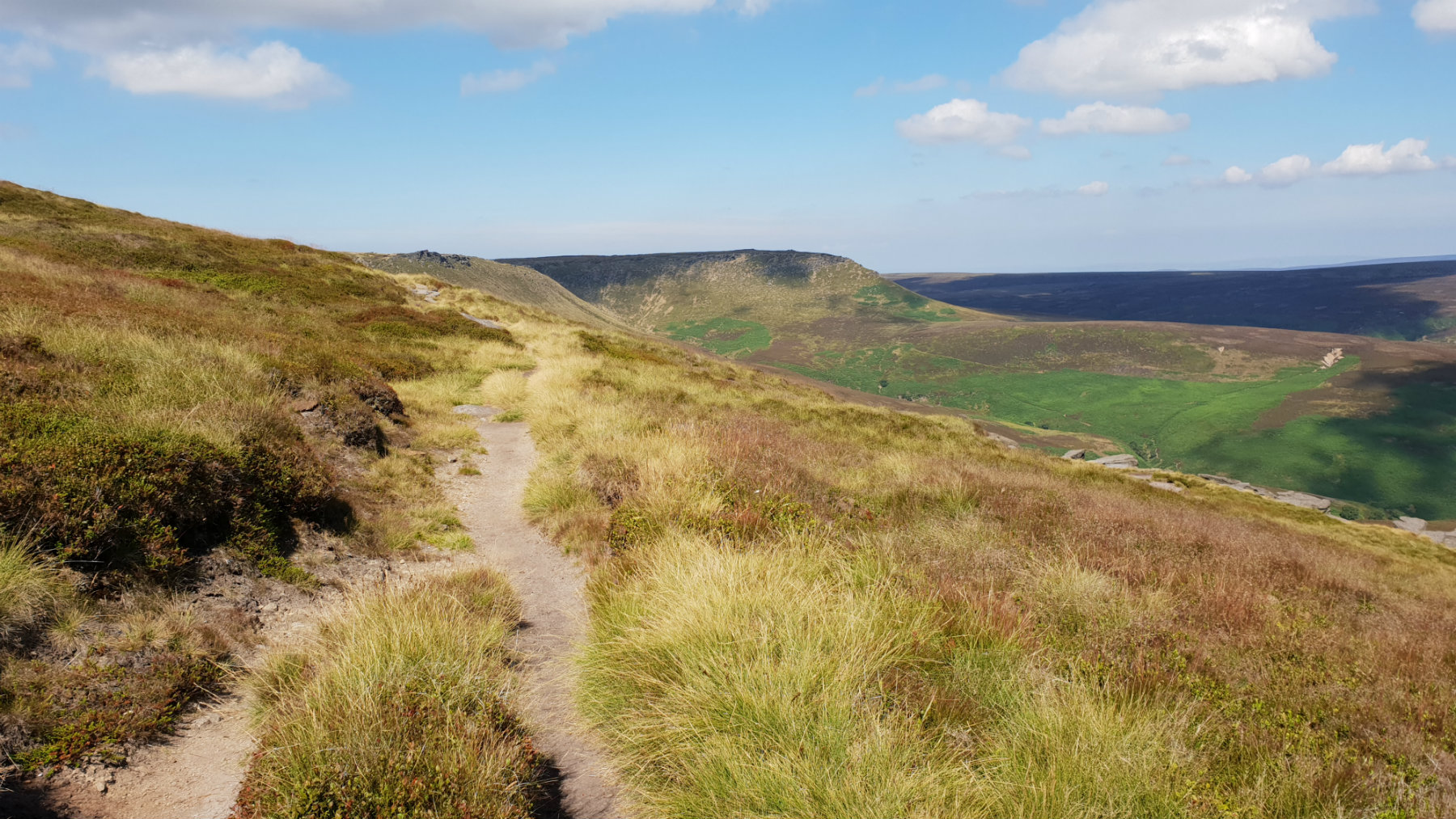
Path along the edge
©gritstoneedge.co.uk
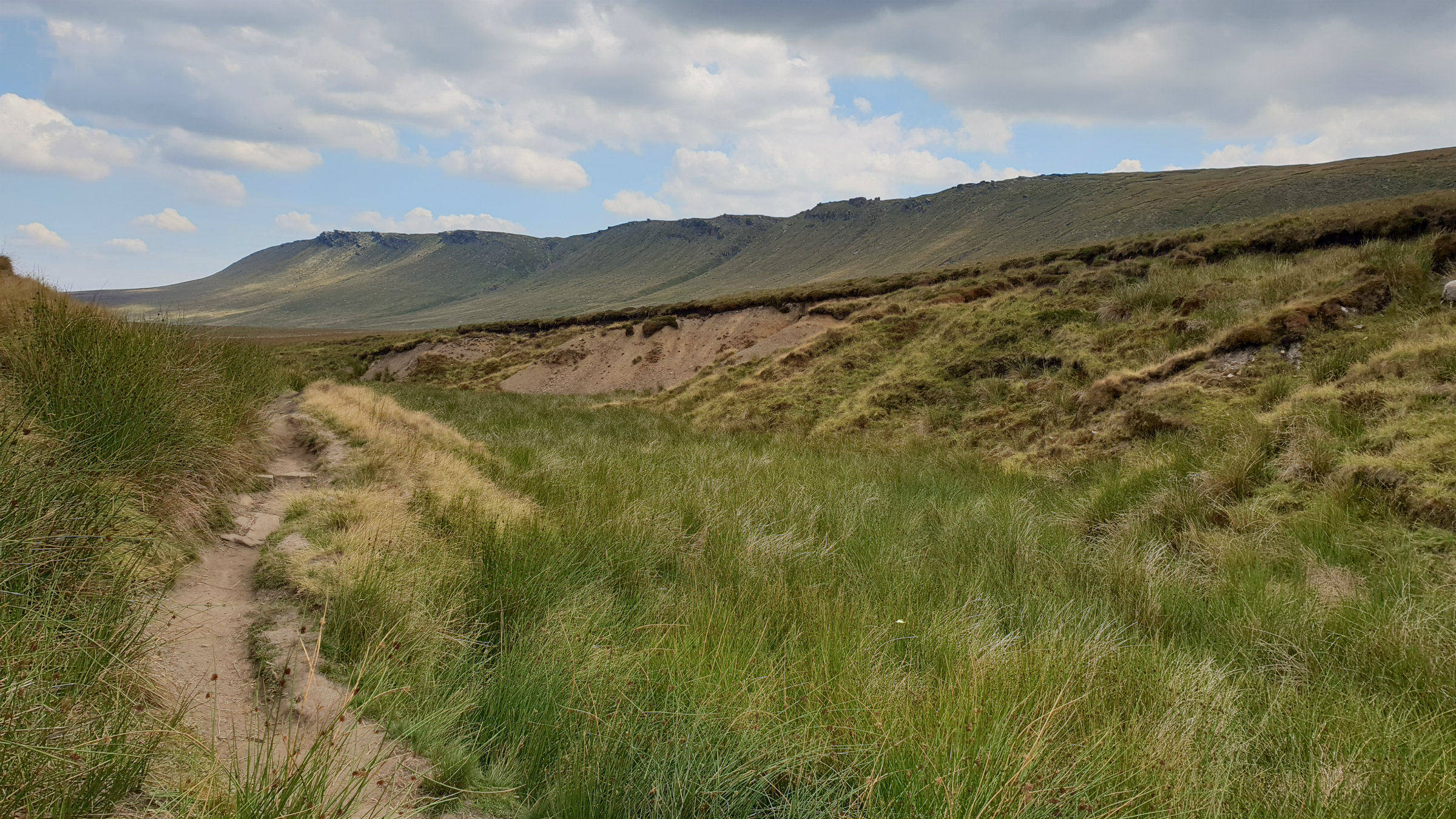
Edge from Snake Path
©gritstoneedge.co.uk
edale
Current Weather
Last Updated today at : 21:38:10
| Overall : | overcast clouds |
| Temperature : | 8degC. |
| Wind Speed : | 8km/hr. |
| Wind Direction : | SE |
| Clouds : | overcast clouds |
| Precipitation : | none |
| Sunrise : | 05:26:37 |
| Sunset : | 18:51:51 |
| : | Times are GMT add 1 hour for BST |
Data from openweathermap.org
Kinder is a large flat plateau surrounded by steep edges. This walk follows the edges long the north of Kinder. These rock edges that mark the northern limit of Kinder are on the edge of the peat with many rocks making the drop. From here views north towards Bleaklow are extensive on days of good visibility.