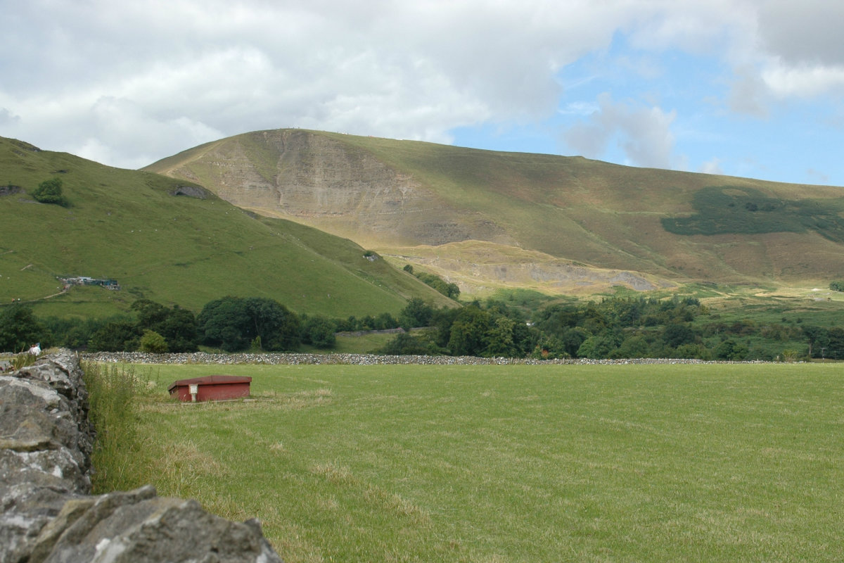
Mam Tor - The Great Ridge.
Mam Tor - The Great Ridge.
| OS Map : | 110 |
| Start : | Castleton Car Park |
| SK149830 | |
| 200 | |
| The main car park in Castleton. This can be full and is expensive. There are other places to park in Castleton. The walk starts from this car park. | |
| Summary : | Mam Tor - Spring House Farm - Lose Hill - Back Tor - Mam Tor - Cavedale - Castleton |
| distance : | 11.5km. |
| ascent : | 400m. |
| time : | 4hr. 10min. |
Edale
Current Weather
Last Updated today at : 00:47:46
| Overall : | overcast clouds |
| Temperature : | 16degC. |
| Wind Speed : | 26km/hr. |
| Wind Direction : | SW |
| Clouds : | overcast clouds |
| Precipitation : | none |
| Sunrise : | 05:47:56 |
| Sunset : | 18:14:17 |
| : | Times are GMT add 1 hour for BST |
Data from openweathermap.org
"The Great Ridge" is a name given to the Lose Hill, Back Tor, Mam Tor ridge that dominates the westerly part of the Hope Valley. This route climbs the ridge at the eastern edge and follows around the Castleton skyline going initially to Mam Tor and then down into Limestone country, through the fields, and finally down Cave Dale back to Castleton itself.


