gritstoneedge.co.uk walking Podcasts
The gritstone edge walking podcasts will introduce you to walking in the Peak District. Each podcast covers a single walk talking you through an interesting area of the Peak DIstrict. Here you will find walks mainly in the Dark Peak area including the Eastern Edges, Kinder, Bleaklow and a few outside these areas.
Bleaklow and the North
- Millstone Rocks
- Black Hill
- Bleaklow Summmits
- Bleaklow Stones from Westend.
- Howden Edge and Horse Stone
- High Stones
- Little Howden Moor.
- Margery Hill and Outer Edge from Langsett
- Outer Edge
- Derwent Edge
- Winstone Lee Tor
- Alport Castles
- Crook Hill
Click on a marker to get a route to the podcast location
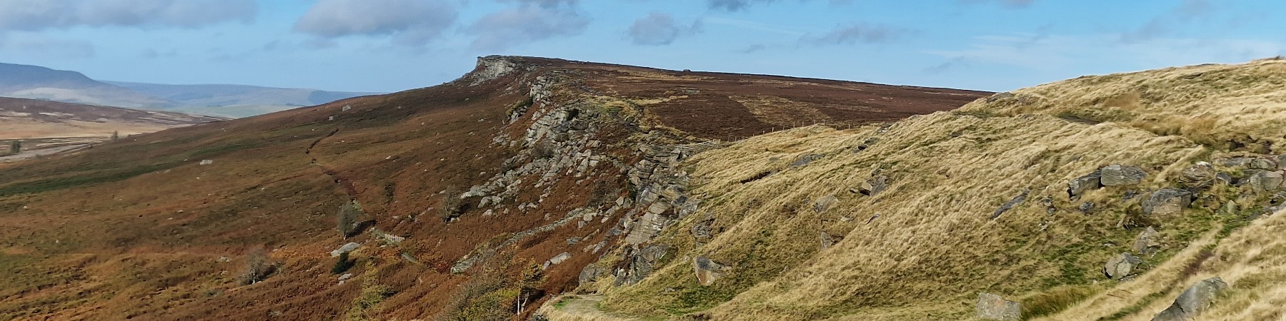
Millstaone Rocks.
Millstone Rocks are on the northern skyline of the Longdendale valley. This walk starts walking west from Crowden along the line of the reservoirs, through the woods to reach Rhodeswood Reservoir Dam. From here it is a steep climb up the hillside and through the forest to reach the old Quarry. Then over the moorland to reach the destination of the walk - Millstone Rocks. Finally it is a steep descent back to Crowden.
Link to Millstone Rocks route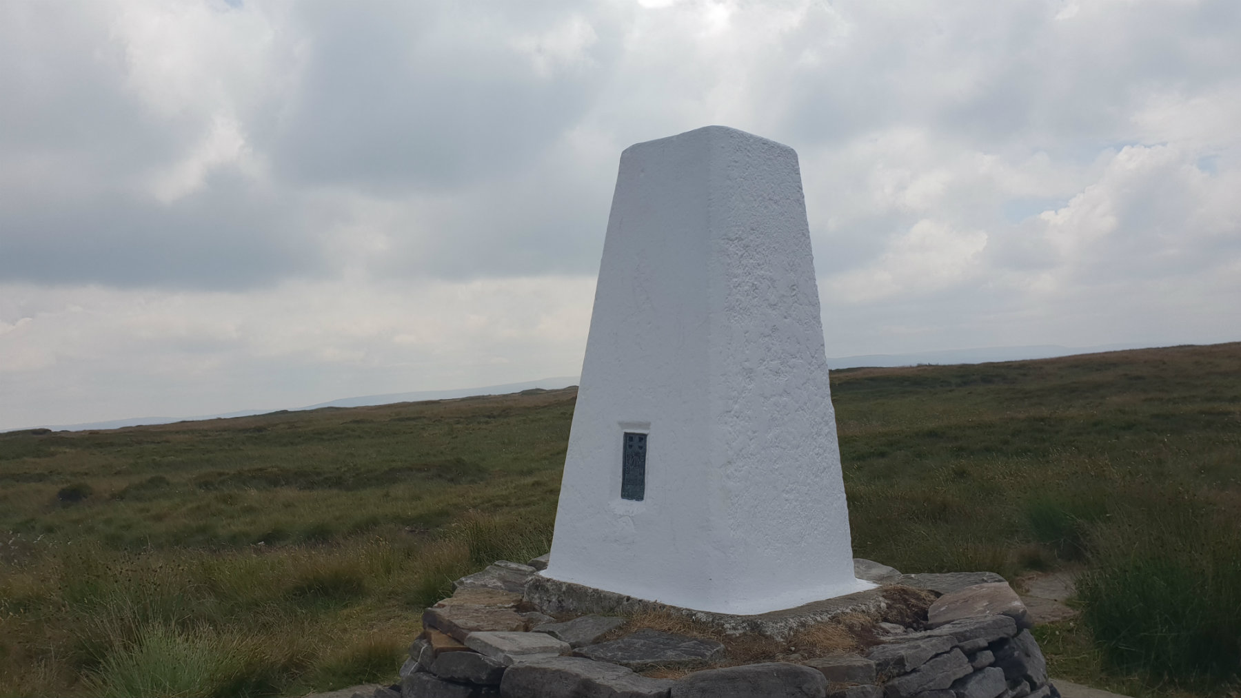
Black Hill - Soldiers Lump.
Black Hill has a reputation as a wet boggy hill and indeed in wet weather you can expect this, a typical Peak District Experience. Black Hill is on the Pennine Way and this path is much improved over the years making this a pleasant walk especially in the summer. Once away from the Pennine Way the return ridge is often empty of people, no crowds just you in the hills. The ascent is dominated by Laddow Rocks, a gritstone edge set high up this hill.
Link to Black Hill route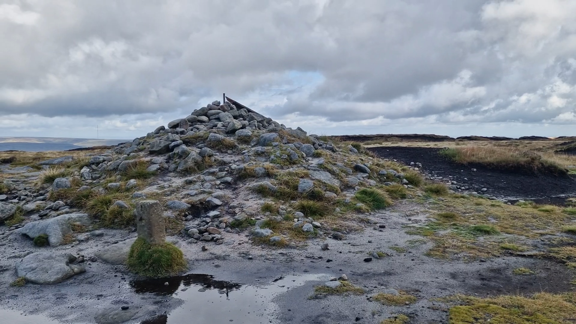
Bleaklow Head (now).
Bleaklow is a vast desolate moorland area between the A57 (Snake Pass) and the A628 (Woodhead Pass). The area around Bleaklow Head is the high point of this plateau, but is not much higher than the surrounding area. The Pennine Way cuts across Bleaklow and this route has the Pennine Way at the core. The route takes in Higher Shelf Stones, Bleaklow Head, Bleaklow Hill and Bleaklow Stones. In an attempt to improve Bleaklow much environmental work has been carried out. Gone are the vast swathes of dark exposed and eroding peat - now much of the area has good quality green grass. This has hidden many paths making this an area to explore again.
Link to Bleaklow Summits route
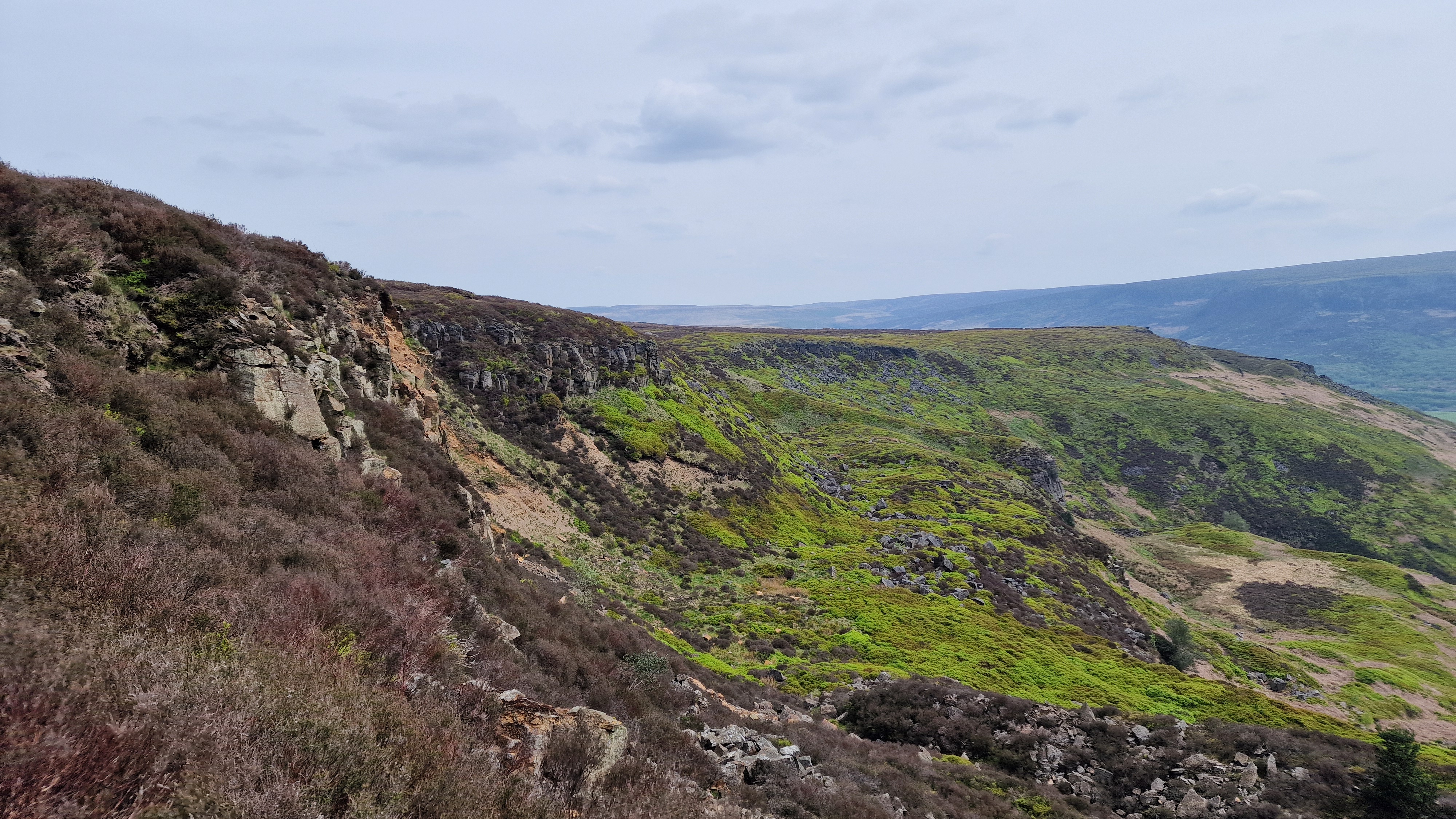
Barrow Stones.
The "Stones" lie on the southern edge of Bleaklow overlooking Westend. From here the water flows down the Westend, south west, to fill up Howden reservoir. This route follows a horseshoe up from Howden reservoir to the high ground of Bleaklow. The return is down via The Ridge and Westend Moor.
Link to Bleaklow Stones route
Horse Stone.
The Derwent Valley splits Bleaklow between the large plateau to the west and the edges to the east. This walk goes up the pleasant Derwent Valley and then onto the Eastern Edges with their extensive views over South Yorkshire and beyond. A great area to get away from it all in this popular part of the country.
Link to Howden Edge and Horse Stone route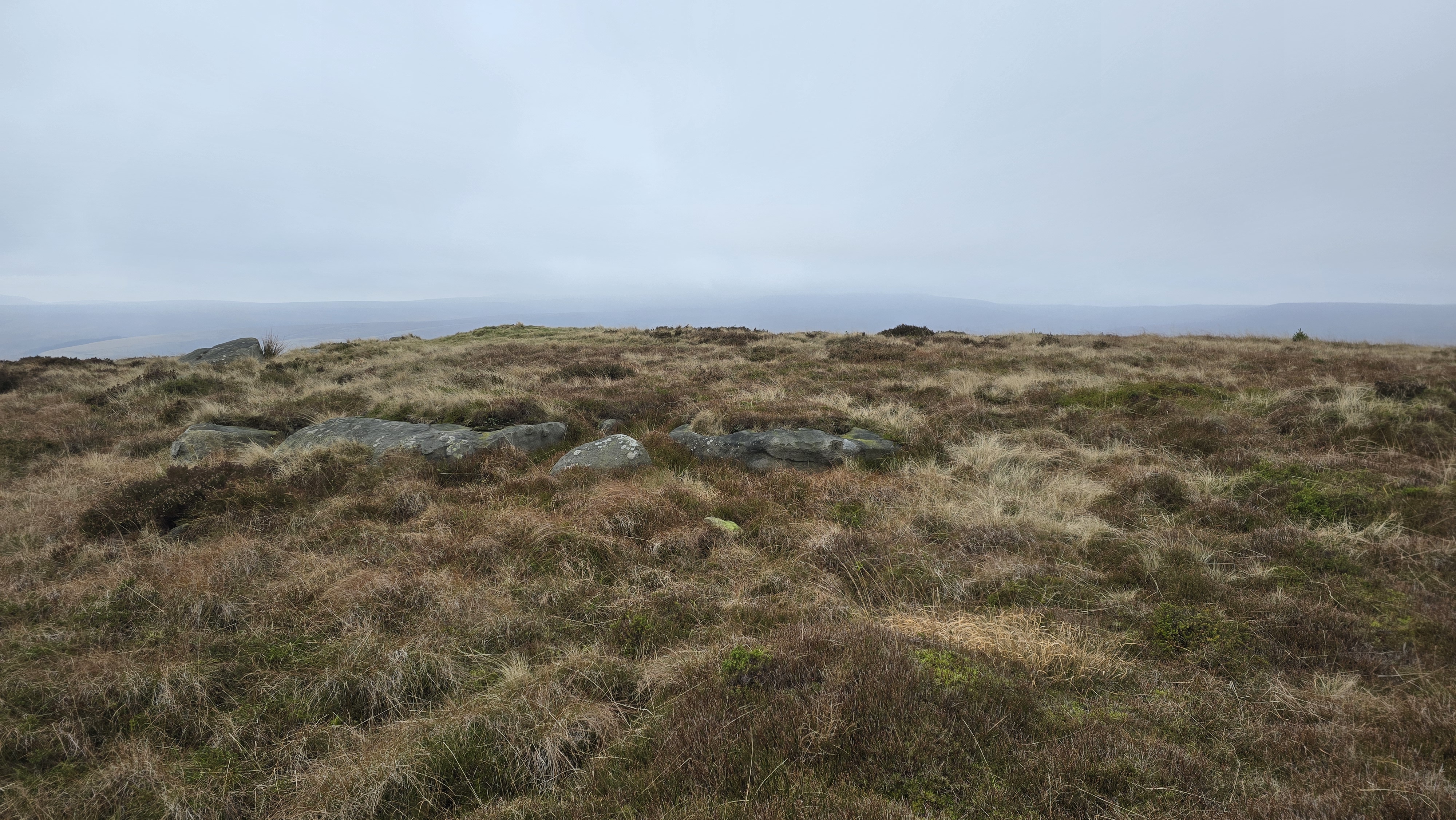
High Stones Cairn.
This is the highest point in Sheffield, and indeed South Yorkshire. High Stones is the high point of Howden Edge. This is a remote moor but there are excellent paths to the summit. The high moor between High Stones and Margery Hill to the north and especially to Back Tor to the south can be very wet but the paths chosen for this route avoid he worst of the bogs. The hill gives great views over Bleaklow and Kinder and east over most of South Yorkshire and beyond.
Link to High Stones route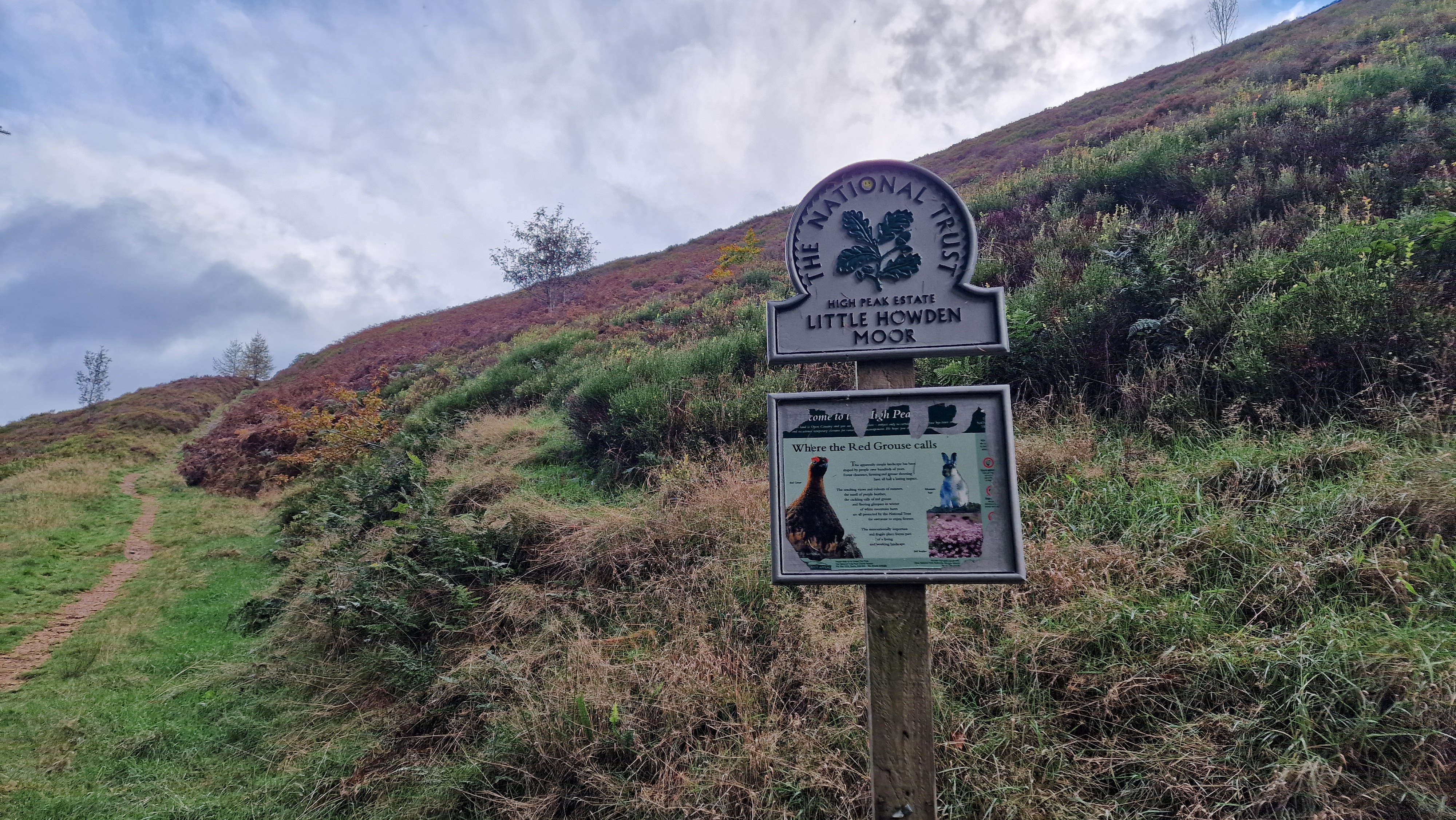
Way up Abbey Brook.
The Howden Moors are on the east of Derwent Reservoir. Once out of the valleys these moors have extensive areas of "flat" moorland giving excellent views, on a good day, in all directions. This is a quiet area of the Peak District and on many days the walker will not see anyone until they get to the popular area of Back Tor and Lost Lad.
Link to Little Howden Moor route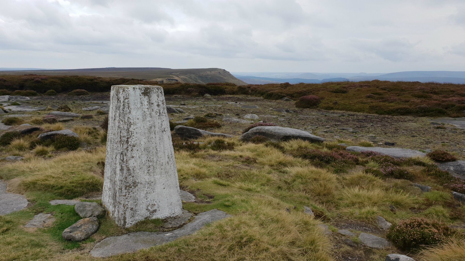
Margery Hill Summit.
There is a sense of remoteness in this area of the Peak District. Away from the paths the moors can be challenging with the areas of heather, bracken and in particular peat. But the challenge is worth it with a great day out in the moors. Cut gate is an old track climbing high over hills originaly used for travelling from South Yorkshire to Derbyshire. This route starts off up Cut Gate climbing to the top of the moors.
Link to Margery Hill and Langsett route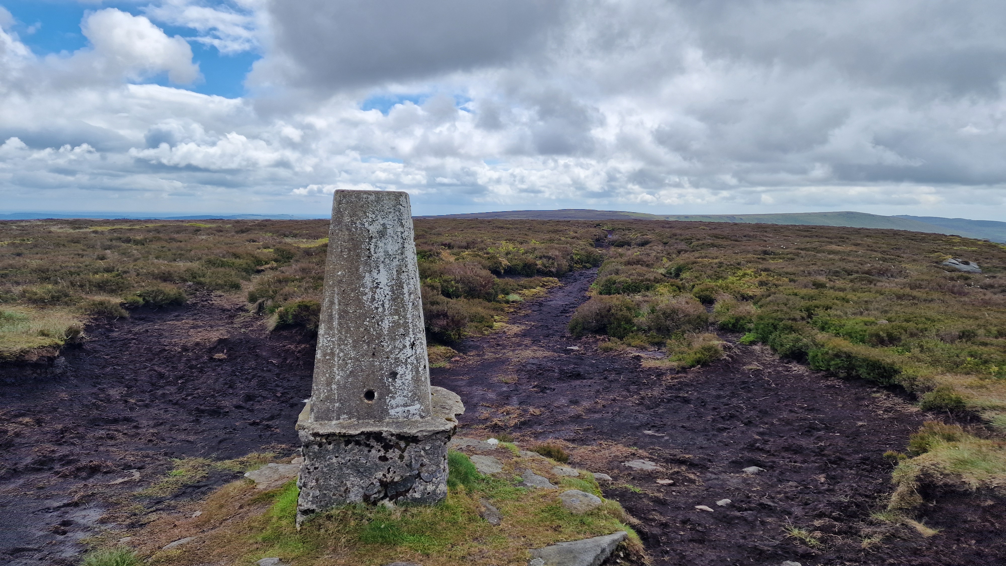
Outer Edge Summit.
Cut Gate is the pass from the Derwent Valley all the way over to Langsett. To the north of this pass is set Outer Edge, which is a typical Peak District moorland, often boggy after a wet spell. The hill is not busy and the walker gets a sense of remoteness albeit only a few kilometres from the Woodhead Road.
Link to Outer Edge route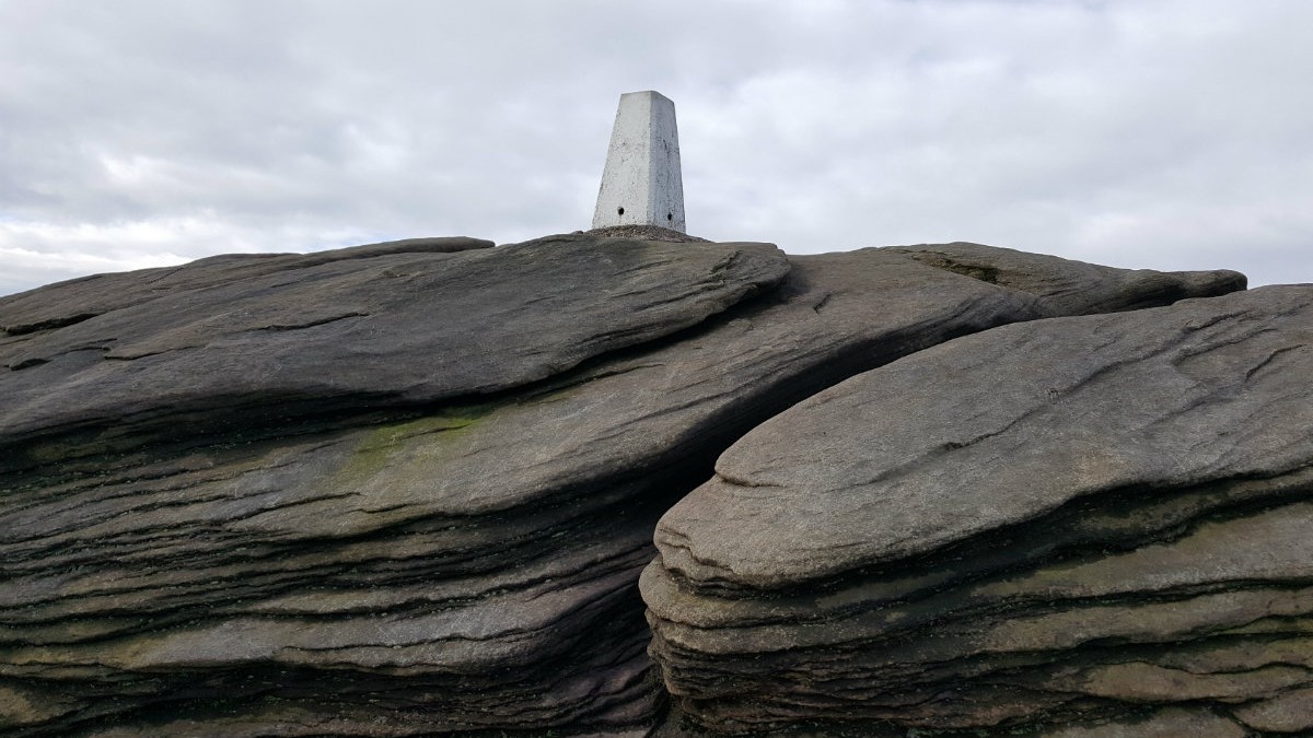
Back Tor.
Derwent Edge is the northerly of the Eastern edges; east from the Bleaklow plateau. Not large vertical cliffs as Stanage but interesting rock formations on the top of the predominantly grassy ridge. This walk, as with the others on the Eastern edges, are significant hillwalking expeditions. This is the heart of the wild Peak District.
Link to Derwent Edge route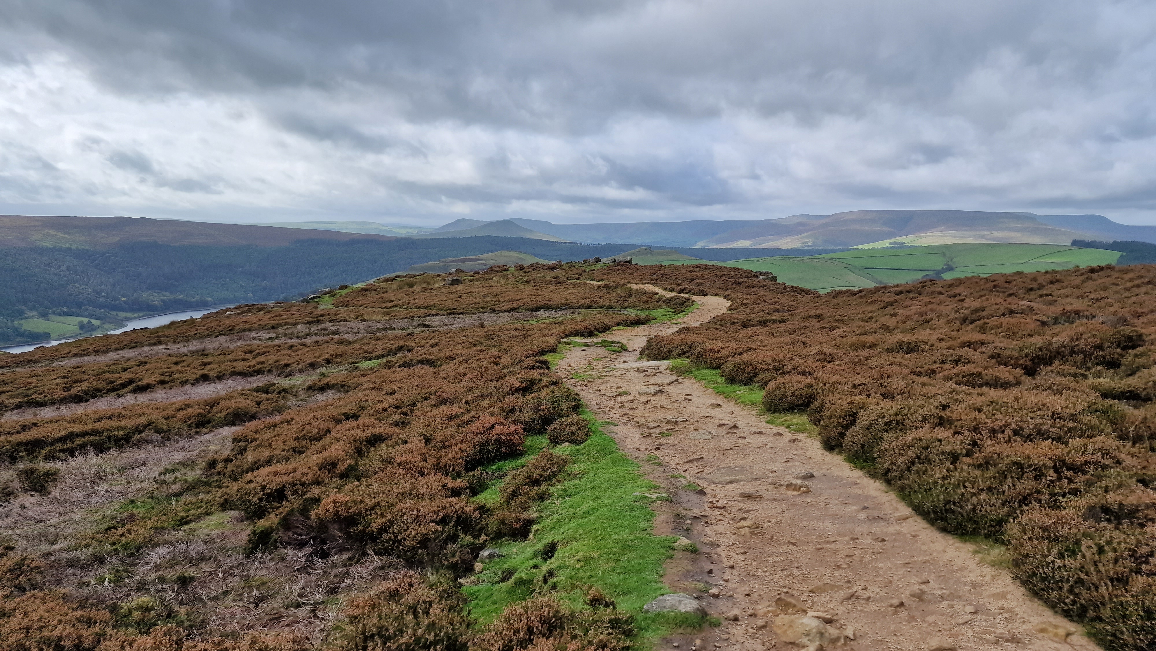
Winstone Lee Tor
Winstone Lee Tor is at the start, the southern end, of Derwent Edge. This walk leads the walker over the Derwent Moors beforethey reach the edge at the "crossroads of paths". A great view of Ladybower Reservoir breaks out. From here the walk continues up Derwent Edge for a while, to the Salt Cellar, and then returns down the edge to Winstone Lee Tor. After descending nearly to the valley the route takes the walker through .Ladybower Wood and back to Cutthroat Bridge.
Link to Winston Lee Tor route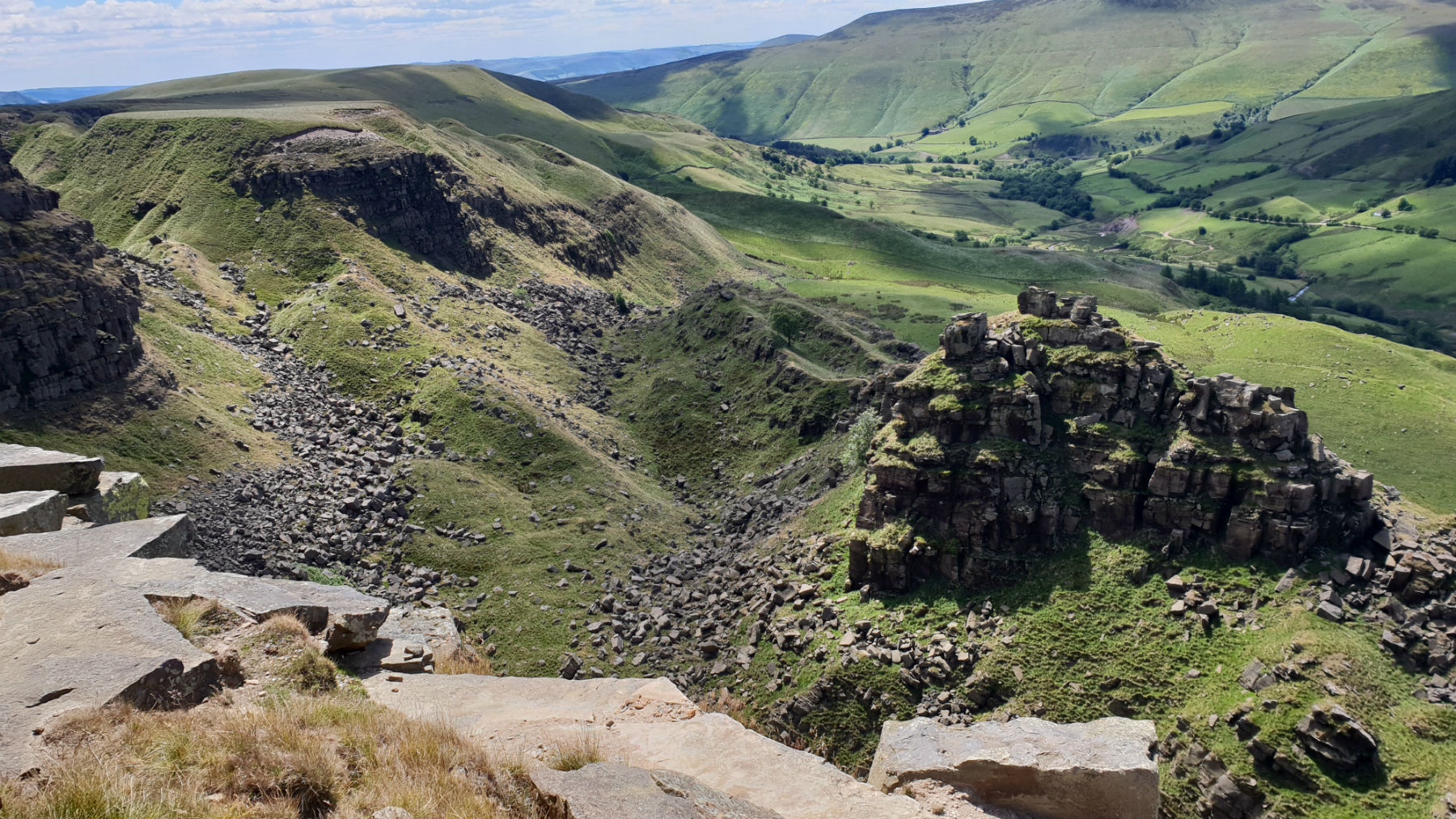
Alport Castles.
Alport Castles are interesting and prominent peaks. The rock is standard gritstone but has an unstable look. The castles look like they are a consequence of a large land slide many millions of years ago. The best approach is from the top rather than ascending from the Alport valley. This route comes from the Derwent Valley to view Alport Castles from the topkeeping well away from the A57.
Link to Alport Castles route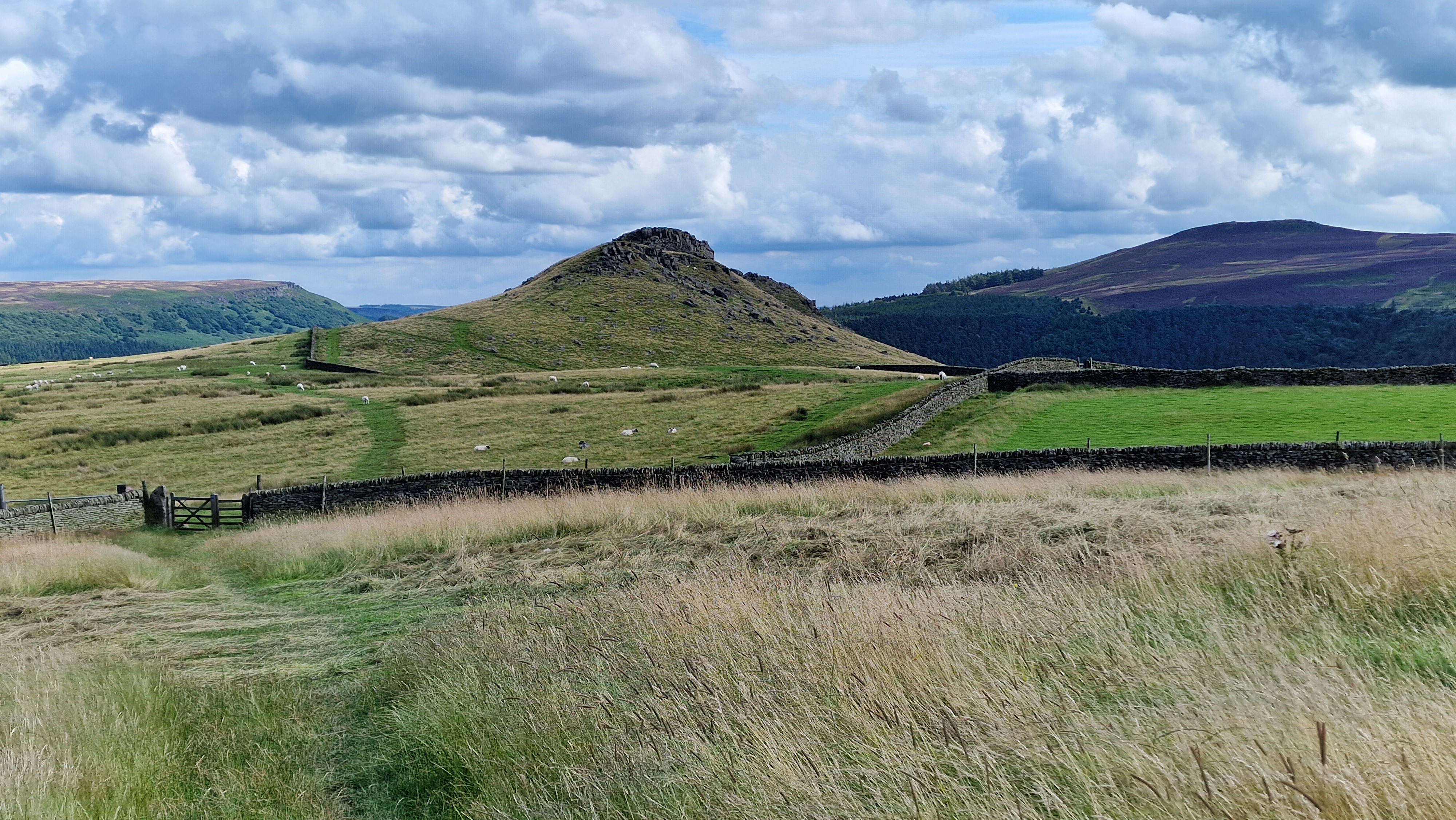
Crook Hill.
Crook Hill is a prominent hill between the two arms of Ladybower Reservoir. While not high, it is visibile from all around the reservoir and does have a good view around the area.The route is a short route up from the reservoir and along the paths to reach the summit, then after a quick descent, and a pleasent walk along the water side.
Link to Crook Hill routeUse this link to view all the external gritstoneedge.co.uk resources.
 gritstoneedge linktr.ee
w : https://www.gritstoneedge.co.uk
e :
 gritstoneedge Blog
 gritstoneedge instagram
 gritstoneedge YouTube channel
 gritstoneedge Podcast
Disclaimer :This site has links to many adventures in the outdoors, walking or cycling in hills and moors, within the UK. These can be dangerous activities. Conditions can change rapidly in the outdoors. The information and links provided on this site is given in good faith. gritstoneedge.co.uk cannot be held responsible for any loss or injury caused by encouraging you into the outdoors of by the accuracy of the information provided on this site.
© gritstoneedge.co.uk all rights reserved 2015-2026