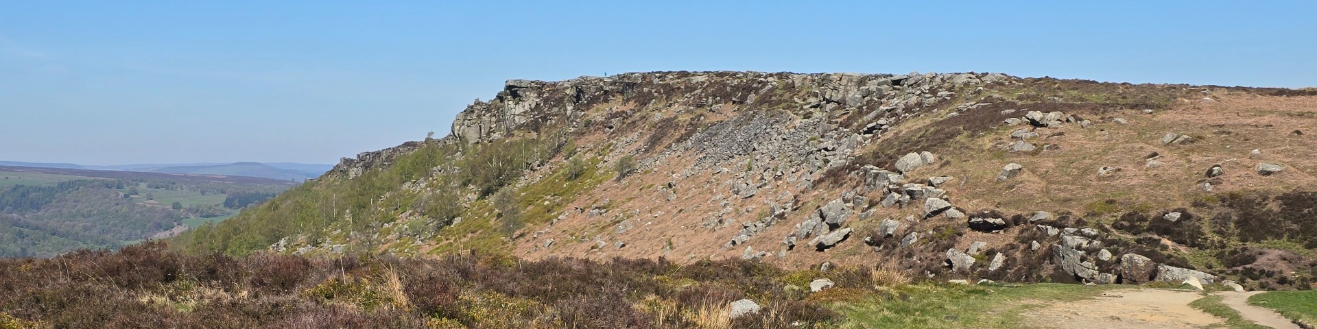
| Start : | Grouse Inn Parking by the Grouse Inn.[SK258779 300m ] |
| Summary : | Roadside by Grouse Inn - Froggatt Edge - Curbar Edge - Baslow Edge - Wellington Monument - White Edge - White Edge Lodge - Roadside by Grouse Inn. |
| distance : | 13.5km. |
| ascent : | 240m. |
| time : | 4hr. 30min. |
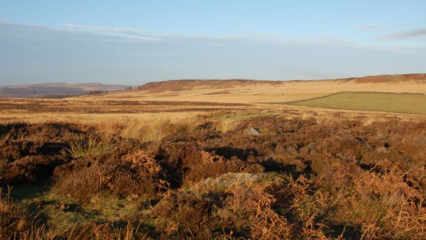
White Edge from the path.
©gritstoneedge.co.uk
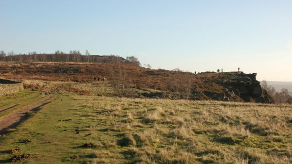
Top of Froggatt Edge.
©gritstoneedge.co.uk>
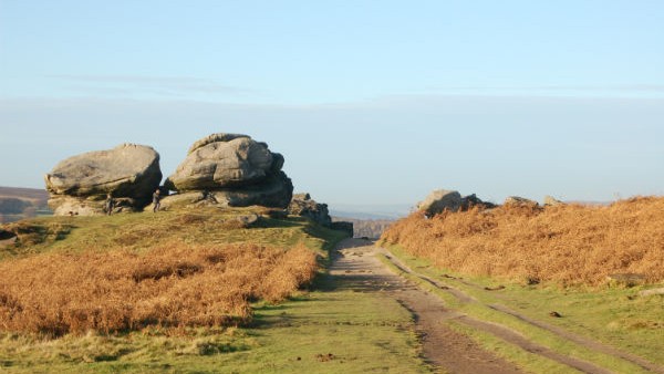
Boulders along the path on Froggatt summit path.
©gritstoneedge.co.uk
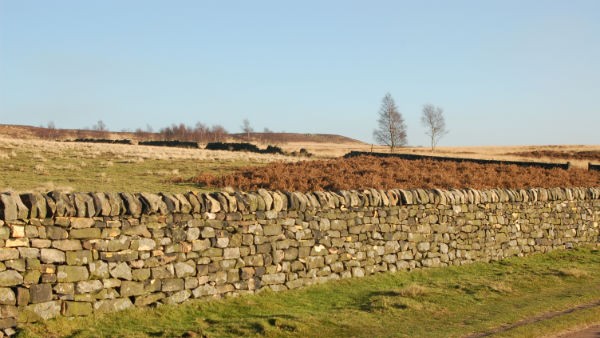
Towards White Edge.
©gritstoneedge.co.uk
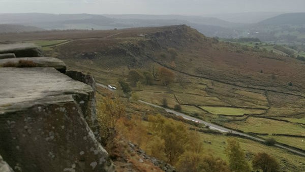
South from Curbar Edge.
©gritstoneedge.co.uk
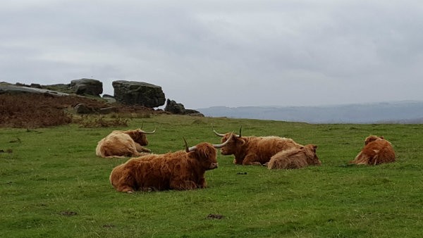
Some company along the way.
©gritstoneedge.co.uk
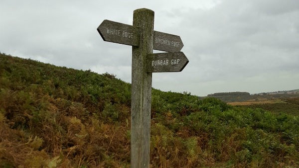
Signposting the way down to the Grouse Inn.
©gritstoneedge.co.uk
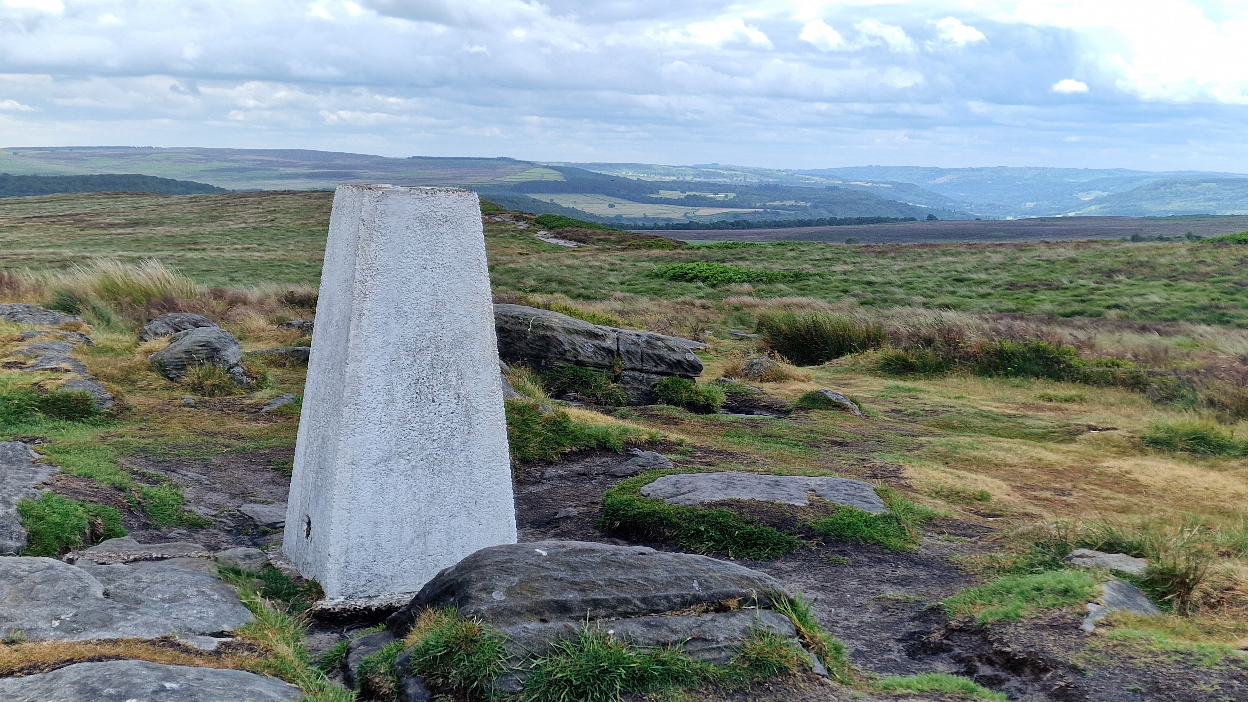
Trig point on White Edge.
©gritstoneedge.co.uk
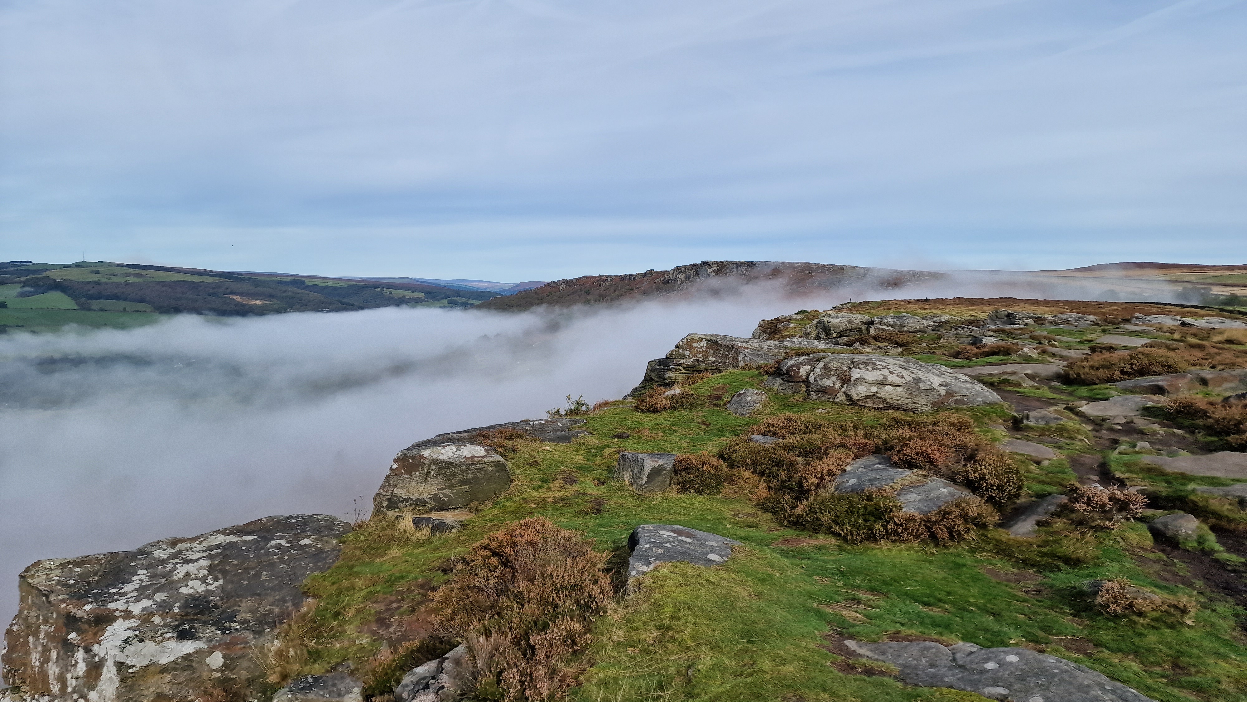
Looking back to Curpar Edge.
©gritstoneedge.co.uk
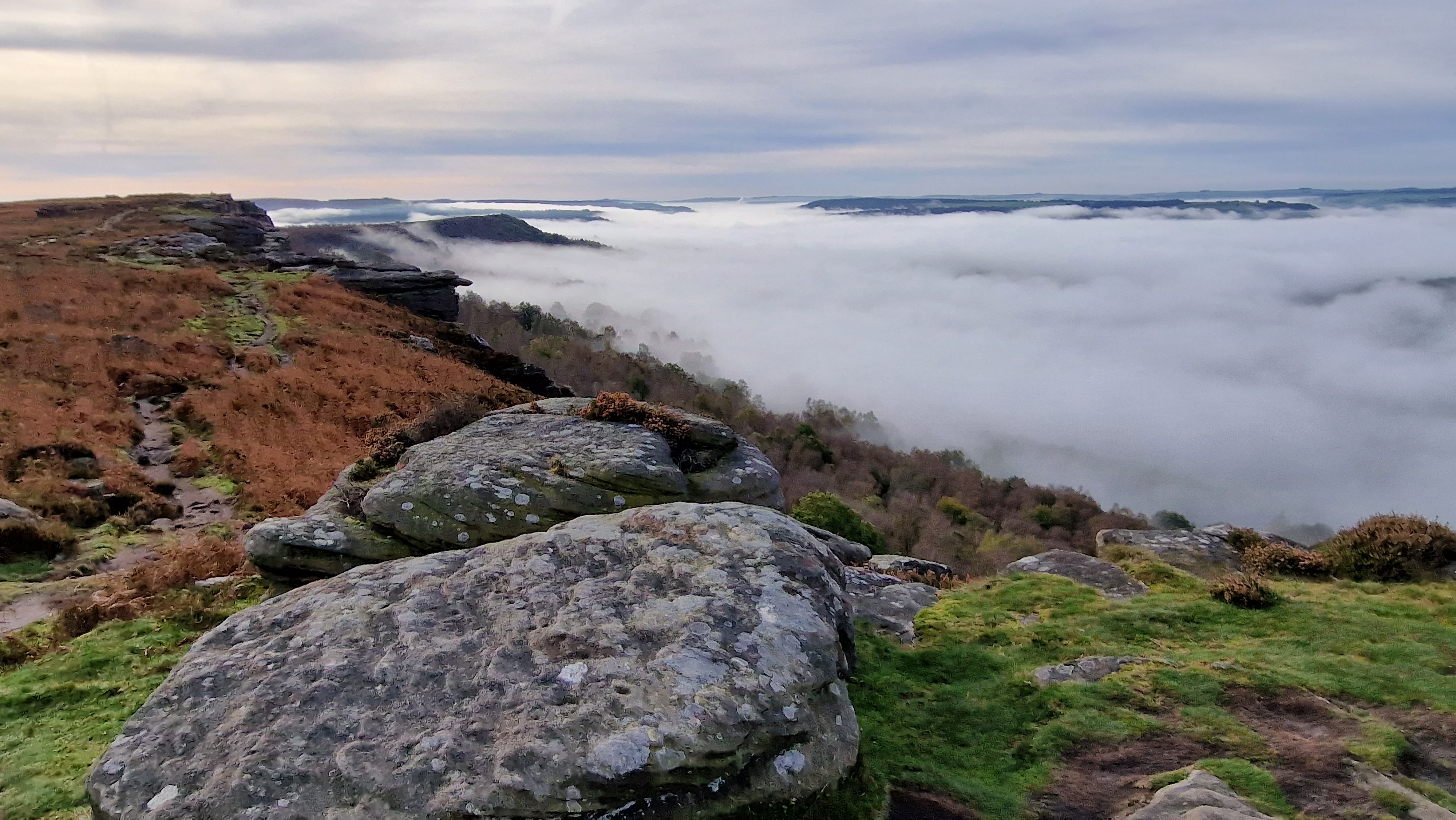
Looking down the valley past Curbar Edge.
©gritstoneedge.co.uk
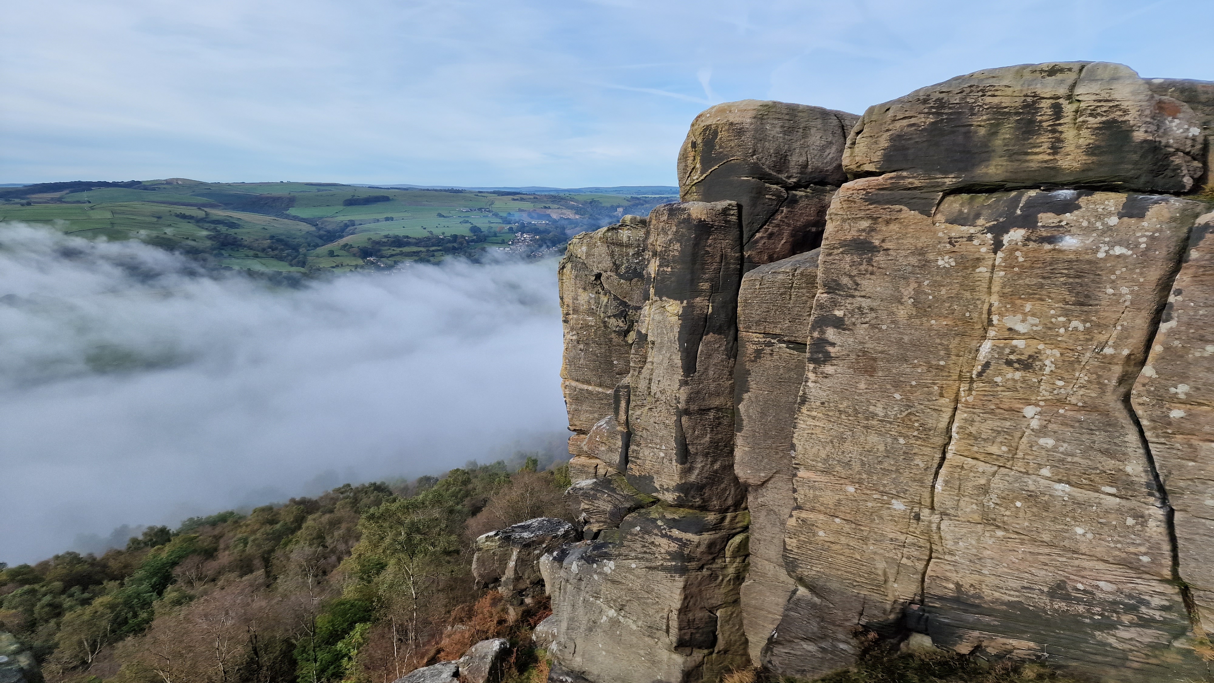
Froggatt End.
©gritstoneedge.co.uk
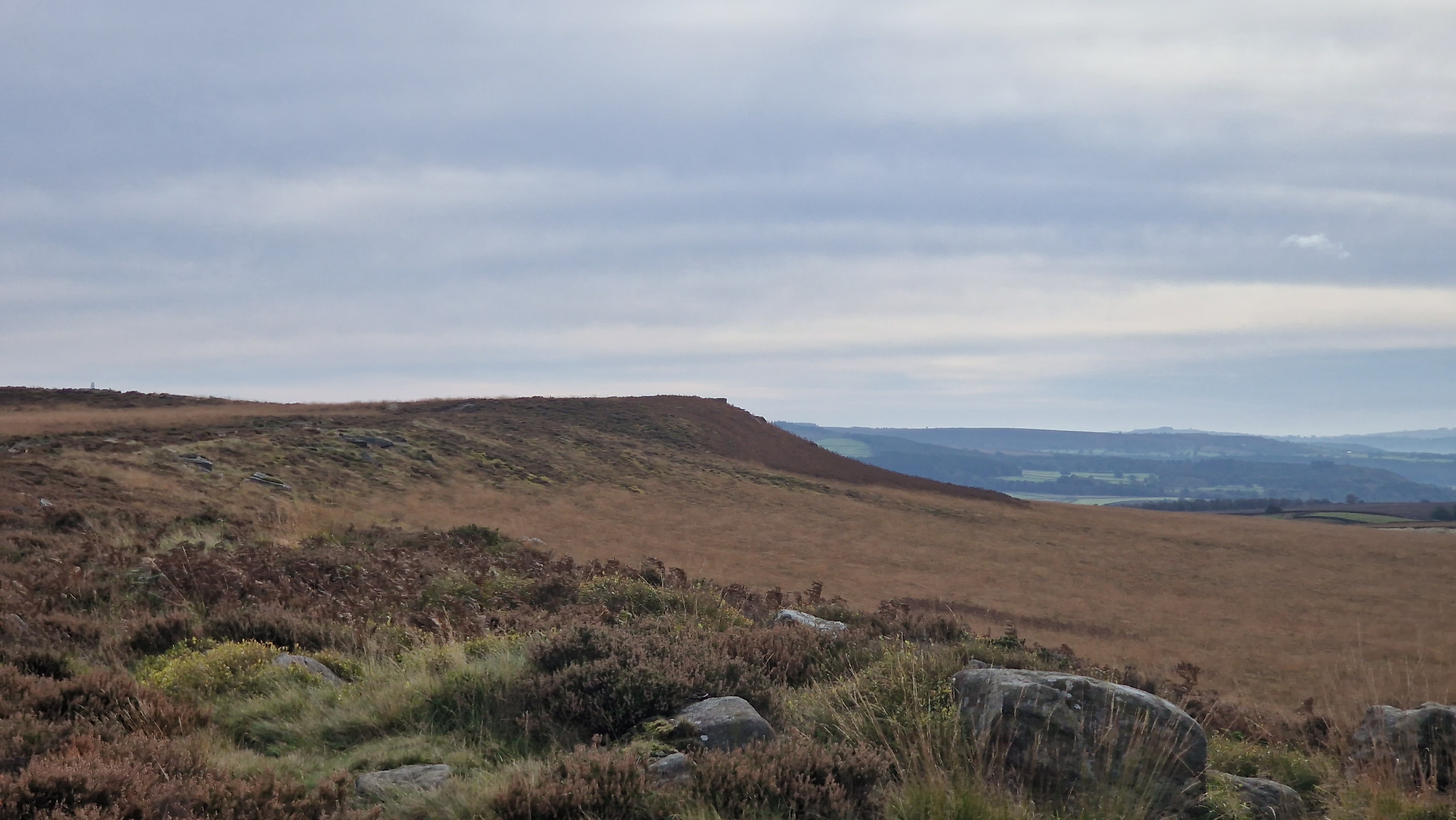
Looking back to White Edge.
©gritstoneedge.co.uk
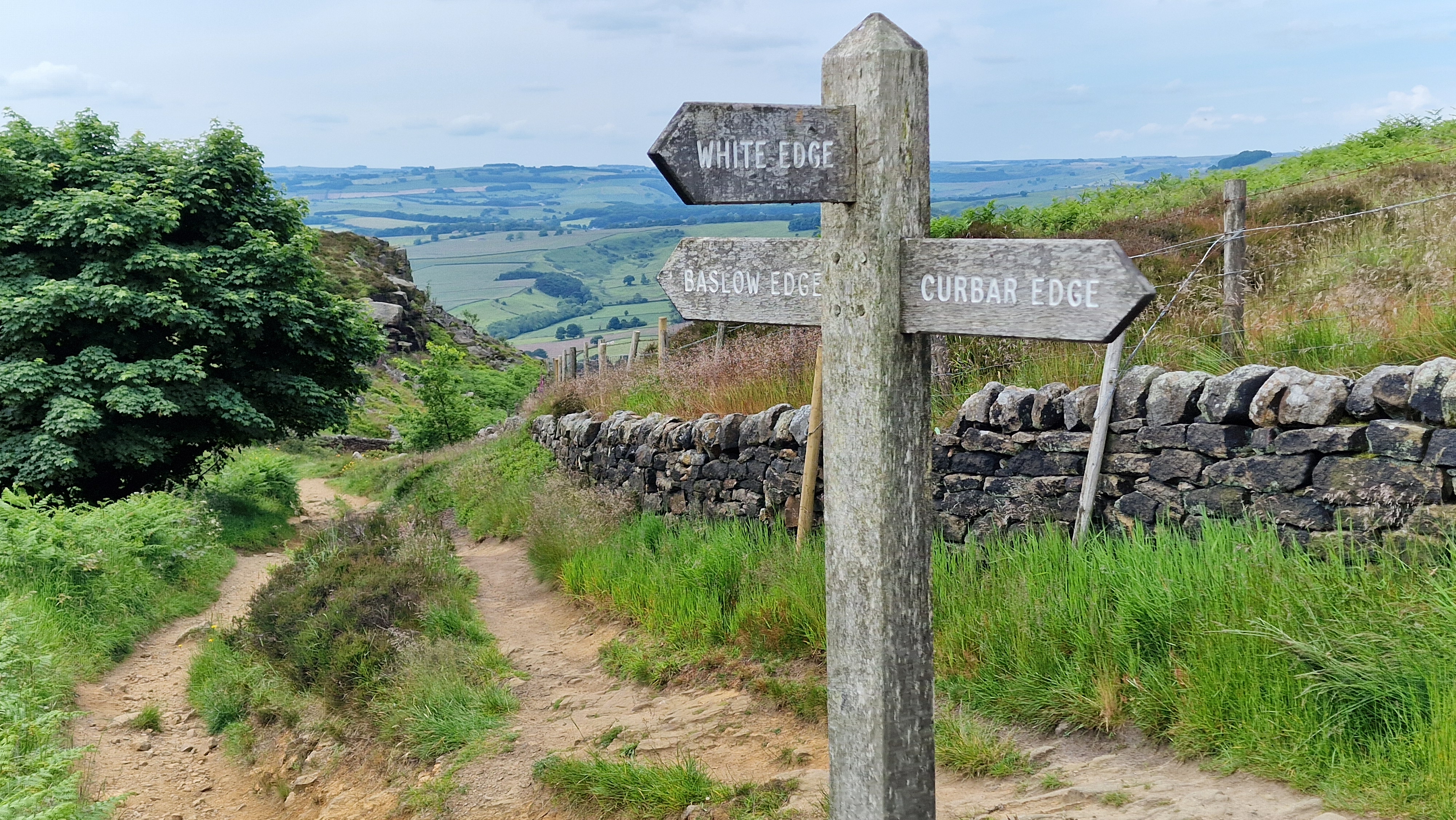
Signpost at Curbar Gap.
©gritstoneedge.co.uk
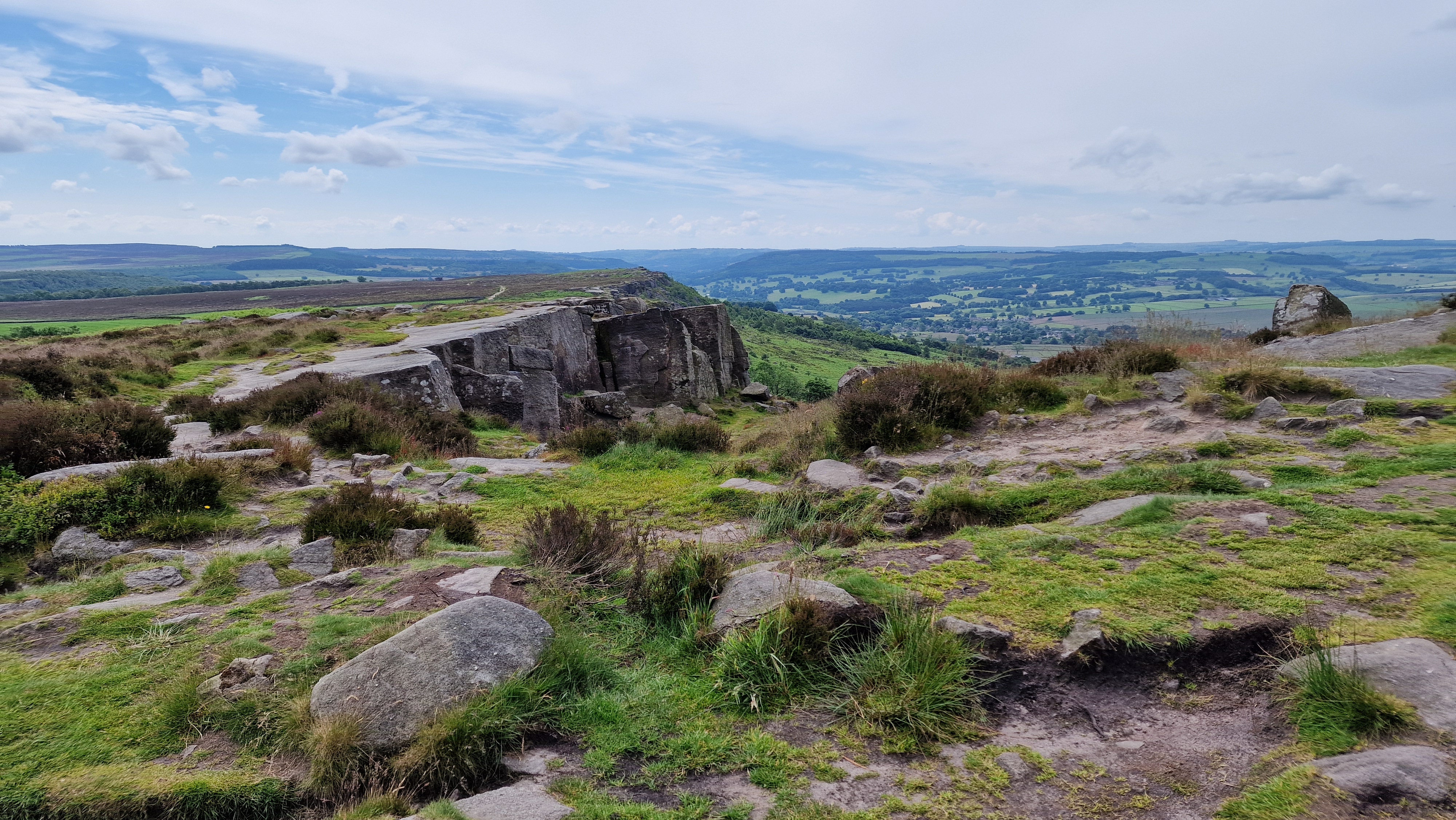
Walking along Curbar Edge.
©gritstoneedge.co.uk
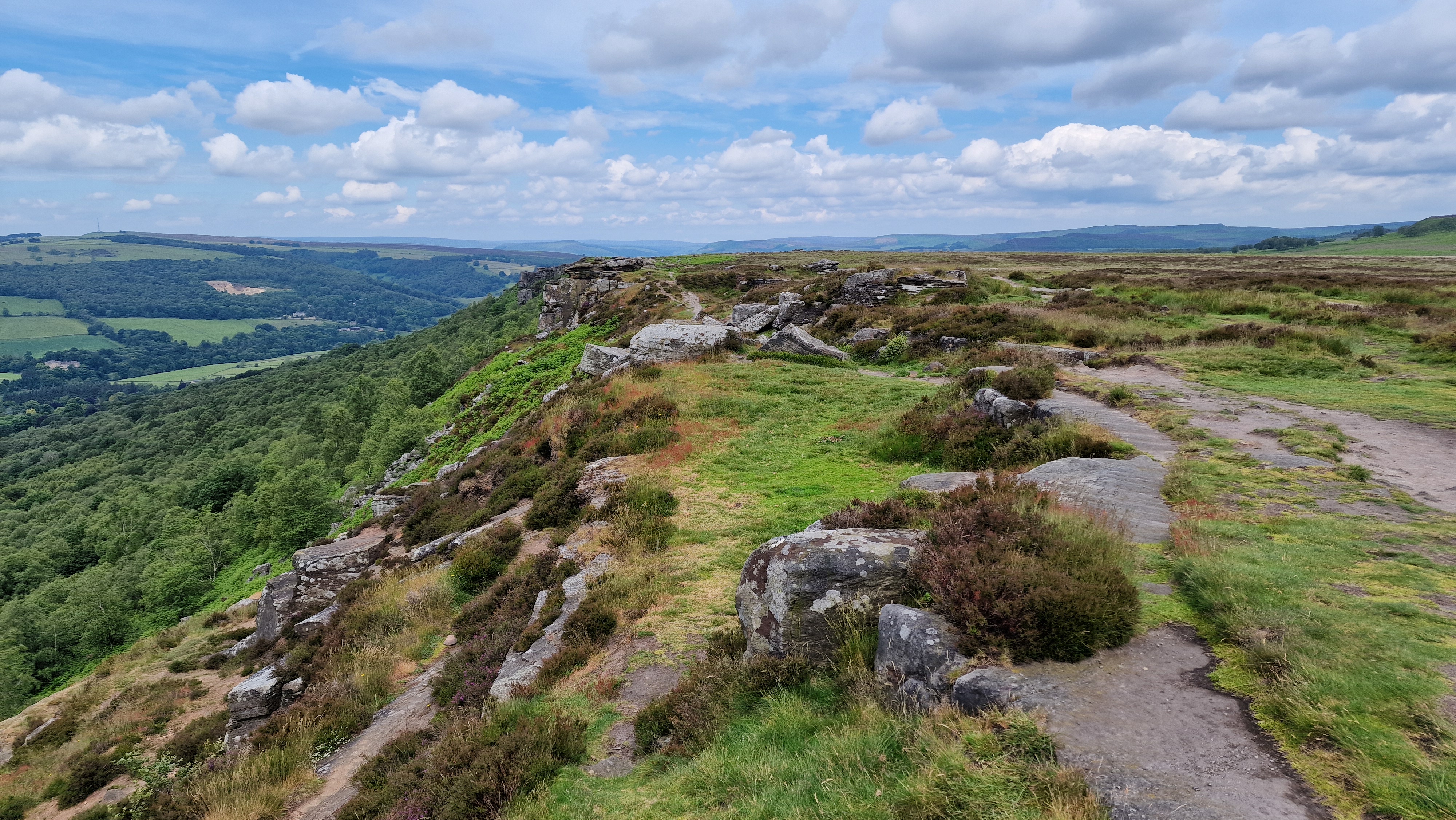
Walking along Froggatt Edge.
©gritstoneedge.co.uk
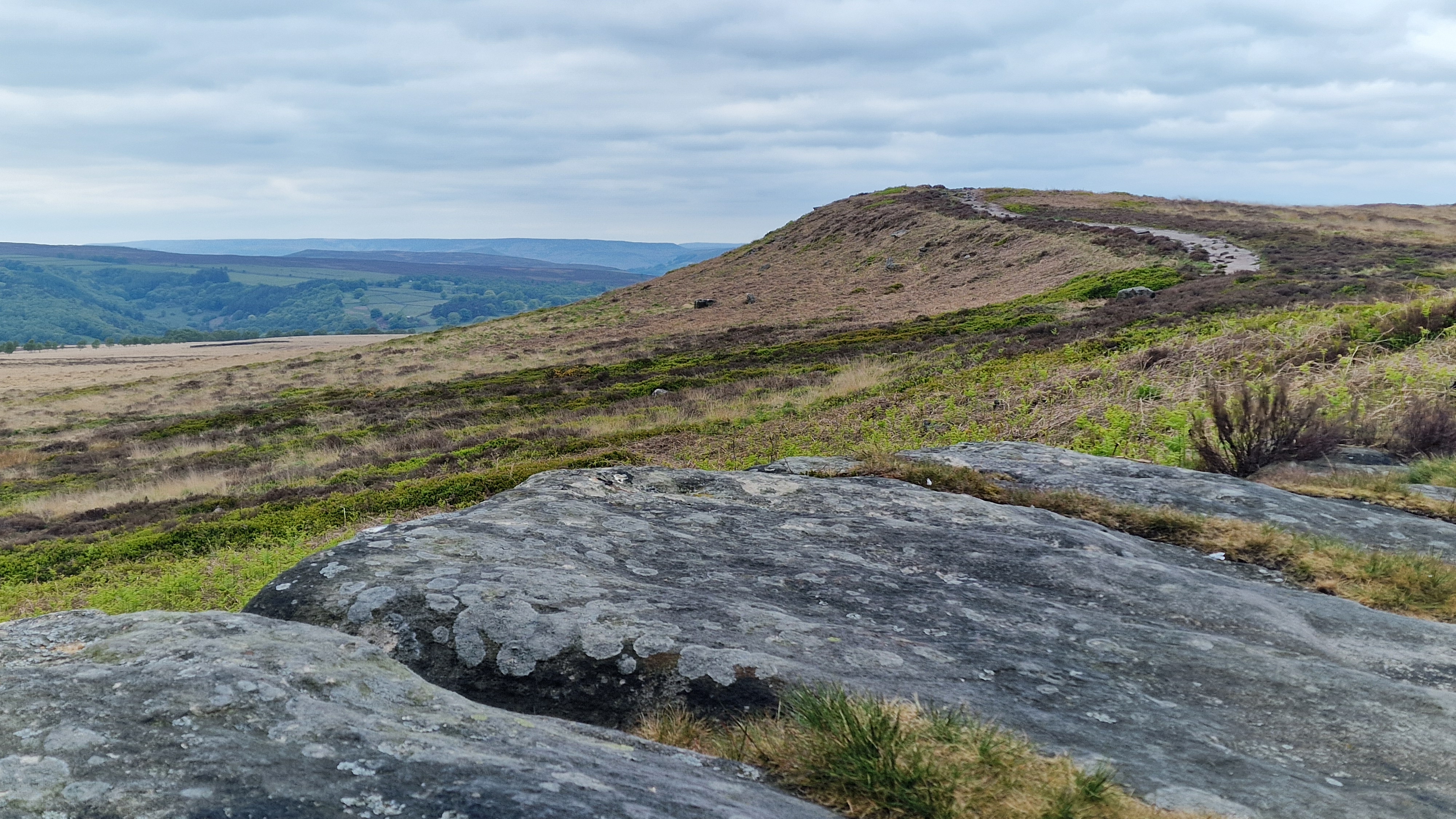
Approaching White Edge.
©gritstoneedge.co.uk
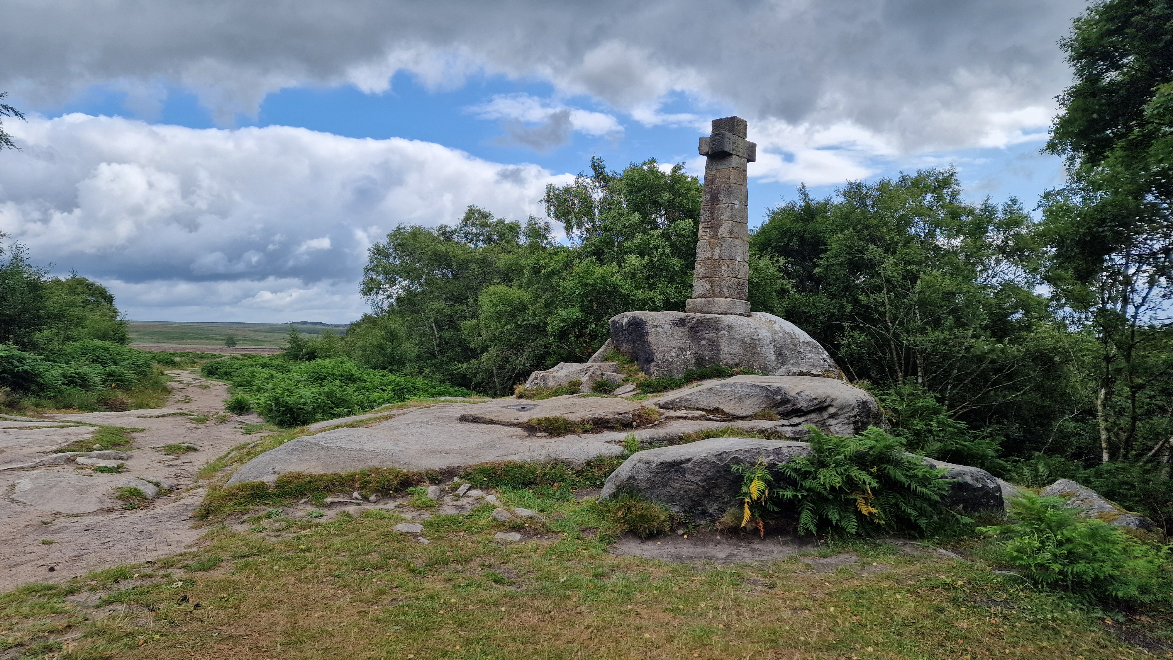
Wellingtons Monument on Baslow Edge.
©gritstoneedge.co.uk
Hathersage
Current Weather
Last Updated today at : 19:19:03
| Overall : | broken clouds |
| Temperature : | 9degC. |
| Wind Speed : | 38km/hr. |
| Wind Direction : | W |
| Clouds : | broken clouds |
| Precipitation : | none |
| Sunrise : | 06:51:25 |
| Sunset : | 16:49:44 |
| : | Times are GMT add 1 hour for BST |
Data from openweathermap.org
A walk of contrasts. Froggatt, Curbar and Baslow are typical Gritstone Edges, with cliffs some 20m high over a length of 2-3 kms. In contrast White Edge is set in more bleak and open moorland with less impressive rocks but a fantastic moorland experience. With this contrast this is one of the best walks in the Peak District. Throughout there are great views over a large part of the central and north of the Peak District, and especially the White Peak over to the west. The three lower edges are often busy but White edge is different, it is more rugged and often much less busy.